Travel alert
Weekend Visitors Arriving by Rail Have One Train, Not Nine
The commuter railway carries people into Washington in the morning and home at night, which is the reverse of what a day-tripper needs. And it does not run at all on Saturdays.
A booking made through these earns us a commission from Viator. The price is the same, and the commission had no bearing on what is recommended.
Travel alert
People decide on this hill over lunch. The published numbers are 4.5 to 6.5 miles and up to 1,788 feet of gain, with nothing to drink anywhere on the route.
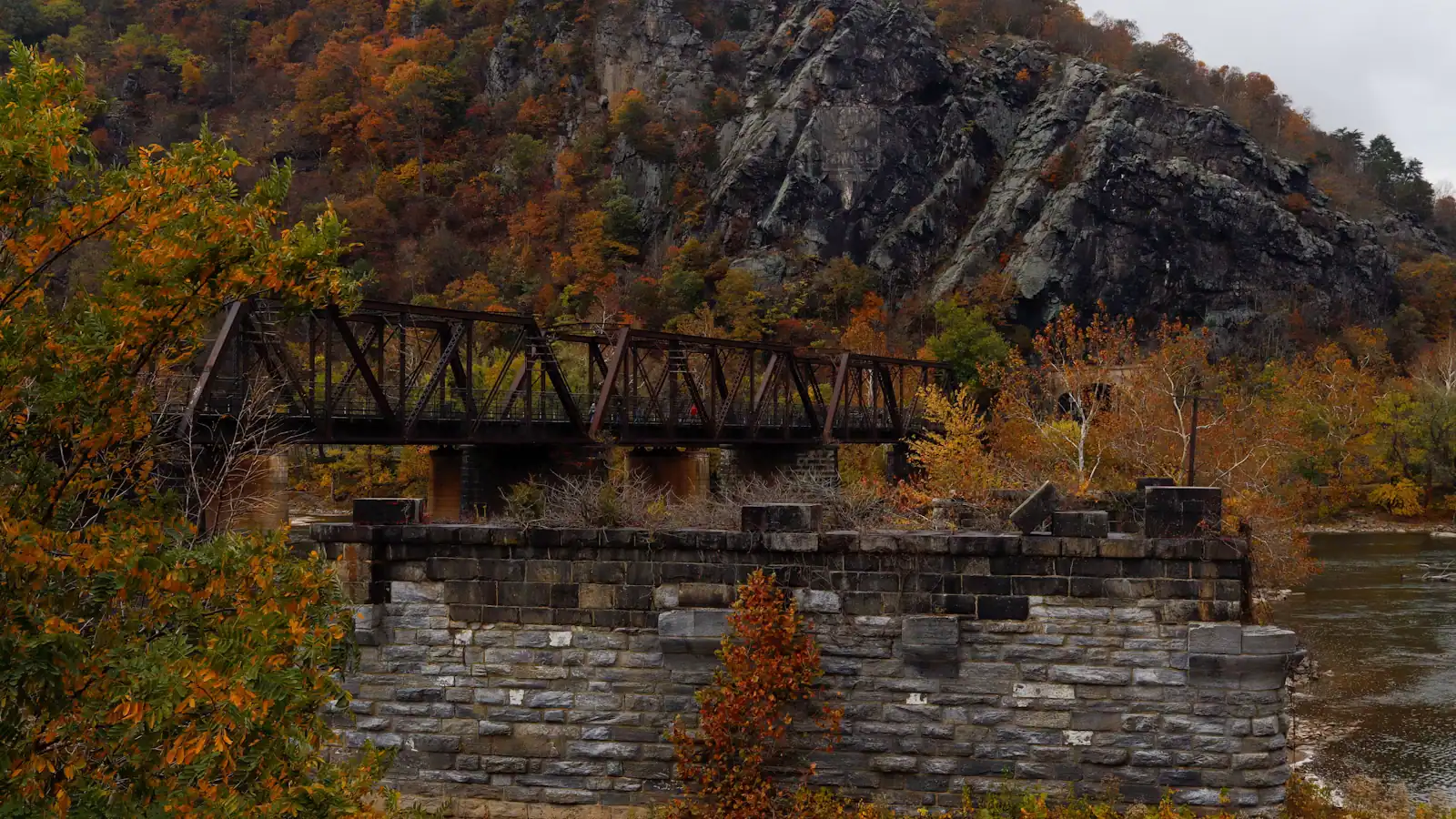
UnsplashThe overlook on Maryland Heights produces the photograph that sells Harpers Ferry — the town on its spit of land, two rivers folding together, ridges running away east. A steady number of visitors decide to walk up to it after lunch, in trainers, carrying nothing.
The park publishes the numbers, and they are worth reading first.
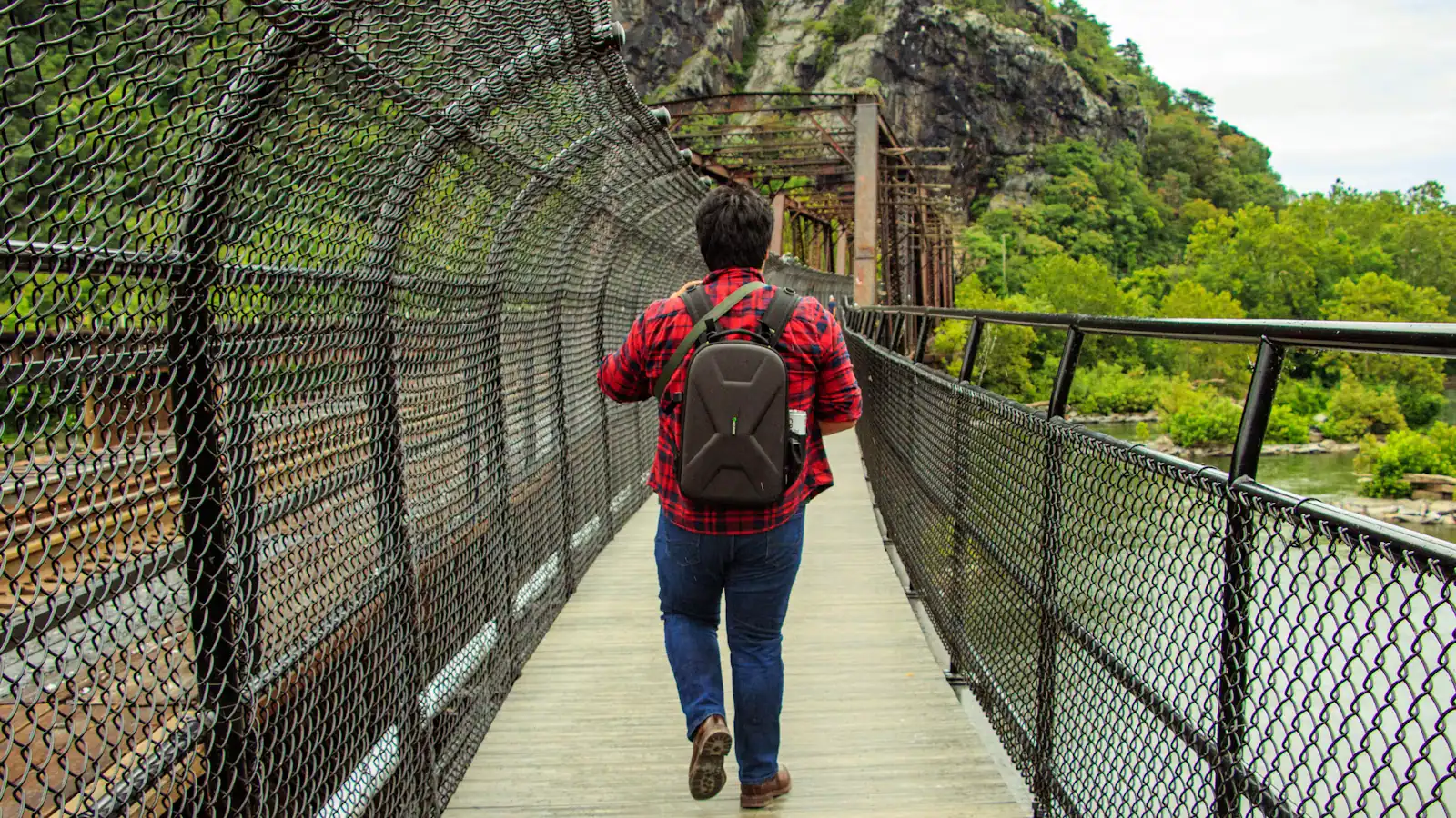
The trail runs 4.5 to 6.5 miles round trip depending on which branches you take, with between 990 and 1,788 feet of elevation gain. The park rates it moderately strenuous to strenuous and puts it at three to four hours. Those figures do not include the twenty to thirty minutes each way needed to reach the trailhead from the lower town, which is on foot across the Appalachian Trail footbridge and along the C&O Canal towpath.
Three restrictions matter as much as the distance.
There is no drinking water on the trail. None at the trailhead, none on the climb, none at the overlook. The nearest is at the visitor center and in the lower town. There are no restrooms on the trail either. In July and August, when the gorge holds heat and the climb runs largely under closed canopy, this is the single most common cause of trouble on the hill.
The trail is open during daylight hours only, closed from sunset to sunrise. There is no lighting and the upper sections are rock.
The route splits. The shorter branch, around 4.5 miles, goes to the overlook. Adding the stone fort and the Civil War battery positions on the summit ridge makes roughly 6.5 miles and includes a steep descent through boulder-strewn ground, which is where ankles go.
The park directs hikers to park at the visitor center and take the shuttle rather than seeking trailhead parking on the Maryland side, and the route is described as starting from the Master Armorer's House in the lower town.
Work the timing backwards from the last shuttle — 7 p.m. under daylight saving time, 5.30 p.m. under eastern standard time — rather than from sunset, because those are not the same deadline.
Trail figures and restrictions are as published by the National Park Service. Check current conditions and any closures at the visitor center desk before setting off.
SourcingTrail distance, elevation gain, difficulty rating, daylight-hours restriction and the absence of water and restrooms as published by the National Park Service for Harpers Ferry National Historical Park.
Plan around it
The pages that carry the practical detail behind this story — hours, costs, access and where it sits on Harpers Ferry.
Things to do
Hiking trails in Harpers Ferry with the park's own distances and elevation: Maryland Heights, Bolivar Heights, Loudoun Heights, Virginius…
Things to do
Which Harpers Ferry viewpoint shows what: the Maryland Heights overlook, Jefferson Rock, the Point and Bolivar Heights, with the climb…
Things to do
Entrance fees, the Cavalier Heights visitor centre shuttle, opening hours and what is inside the boundary at Harpers Ferry National…
Guide
One Day in Harpers Ferry, Hour by Hour
The lower town read in geographical order tells the story backwards. Here is the day arranged chronologically instead, from the armoury…
Newsroom

Travel alert
The commuter railway carries people into Washington in the morning and home at night, which is the reverse of what a day-tripper needs. And it does not run at all on Saturdays.

Travel alert
Twenty dollars a vehicle, valid three consecutive days, payable by card only. Visitors arrive with notes every week and there is nothing on site that will take them.
Who reported this
Trails & Rivers Editor
Emmett section-hiked the Appalachian Trail through four states before he wrote about it and has guided on the lower Shenandoah. He covers Maryland Heights and the towpath, the footbridge corridor, and the rafting and tubing season. He reads a river gauge before a forecast, and he will tell you when a climb is beyond what a group can manage.
Our newsroom is machine-assisted and human-edited: stories are drafted from verified public sources and checked before they publish. How that works is set out in our editorial standards.