Neighbourhood
Camp Hill
The terrace above the lower town: Storer College, the 1906 Niagara Movement meeting, and the view without the queue.
1–1.5 hoursIncluded with park entrance; the grounds carry no separate charge
A booking made through these earns us a commission from Viator. The price is the same, and the commission had no bearing on what is recommended.
Things to Do
The Appalachian Trail crosses Harpers Ferry on the Potomac footbridge. The ATC headquarters, the psychological midpoint explained, day hikes and hiker season.
 Unsplash
Most long-distance trails pass towns. This one goes through the middle of one. The Appalachian Trail comes off Loudoun Heights in Virginia, crosses the Shenandoah, walks the length of Shenandoah Street past the armory grounds, turns at the confluence and leaves West Virginia on a footbridge bolted to the side of a working railroad bridge. You can stand on the white blazes with an ice cream in your hand. Very few places on the trail let you do that, and it is why Harpers Ferry occupies a place in hiker culture out of all proportion to its two hundred and sixty-nine residents.
Start with the correction, because it is the thing this town is most often wrong about in print. Harpers Ferry is the Appalachian Trail's psychological midpoint, not its measured one. The National Park Service uses that exact word. The actual halfway mileage falls further north, in Pennsylvania near Pine Grove Furnace State Park, and it shifts a little each year as sections of trail are relocated. What Harpers Ferry has instead is the Appalachian Trail Conservancy's headquarters, and the Conservancy has been the trail's administrative and emotional centre since long before most current thru-hikers were born. Walking in here means the paperwork side of the trail knows you exist. It is a milestone of the mind, and hikers treat it as more significant than a number on a signpost in Cumberland County.
The tradition attached to that is the photograph. Hikers who reach the Conservancy stop, have their picture taken on the steps, and are filed by year in binders that anyone can leaf through. Come in late spring or early summer and the front room of the ATC is full of people at the sharp end of a very long walk, some of them a thousand miles from where they started and still sixty per cent short of Katahdin. It is the best free half hour in town if you like talking to strangers.
For a visitor with an afternoon, the trail here is unusually generous. You can walk a mile of it flat, across the footbridge and out along the C&O Canal towpath, and be back for the shuttle. You can climb the 1810 stone steps past Jefferson Rock and follow the blazes across Camp Hill, which is the same path the trail takes and also the walk through the Storer College story. Or you can commit to Loudoun Heights, which is up to seven and a half miles round trip and about 1,377 feet of climbing, and get the view south that almost nobody bothers with.
The rest of this page covers what the trail does in town, when the hikers come through, and which of those walks is right for the time you have.
 Unsplash
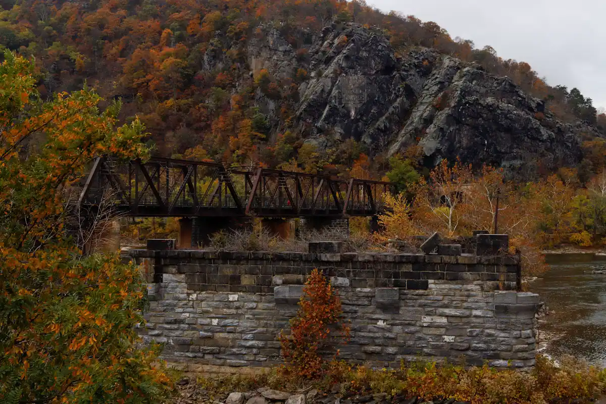
Follow it north to south and it makes sense, because the town is built on the geography the trail is using.
Northbound hikers arrive off Loudoun Heights on the Virginia side, drop to the Shenandoah and cross it on the footway of the US 340 highway bridge. That is the least romantic quarter mile on the trail in this state and there is no alternative to it. On the far side the blazes come down to river level and into the lower town along Shenandoah Street, past the armory grounds and the shopfronts, to The Point where the two rivers meet.
From The Point the trail crosses the Potomac on the Goodloe Byron Memorial Footbridge, cantilevered onto the side of the railroad bridge. Reaching it means a staircase, and at the time of writing that staircase was open while a replacement was built beside it. On the Maryland bank the trail turns downstream and runs with the C&O Canal towpath for roughly three miles to Weverton, where it climbs away to Weverton Cliffs and on to South Mountain.
Southbound, the route leaves the lower town on the 1810 stone steps, passes Jefferson Rock, crosses Camp Hill past the Appalachian Trail Conservancy and the old Storer College grounds, and drops back down to the Shenandoah bridge.
Three things follow from that. The trail's flat section here is the towpath, not the town. The climb out in either direction is real. And the only pedestrian route between West Virginia and Maryland is that one footbridge — if it closes, there is no second option.
The Appalachian Trail Conservancy has been in existence since 1925, which is longer than the completed trail has, and its headquarters and visitor centre sit up on Camp Hill a few minutes above the lower town, on the same rise as the old Storer College campus. Confirm current opening hours on the ATC's own site before you build an afternoon around it; a volunteer-staffed visitor centre keeps volunteer-staffed hours.
What is inside is not a museum in the conventional sense. There is a relief map of the whole trail that repays ten minutes on its own, a shop selling the guidebooks and the maps, staff who can tell you what the water sources are doing between here and Pennsylvania, and the binders.
The binders are the point. Hikers who reach Harpers Ferry stop in, get photographed on the front steps, and are numbered and filed by year. Anyone can look through them. You can find the 1990s, when the photographs are film and the packs are enormous, and last year, when half the subjects are holding a phone. It is an oddly moving piece of amateur archive and it is free.
For a visitor with children this is a better twenty minutes than it sounds. The walk up from the lower town is the trail itself, past Jefferson Rock and across Camp Hill, so you get the view, the history and the Conservancy in one loop, and you come back down the stone steps with something to talk about.
When to go
The rhythm is predictable enough to plan a visit around, and it changes what the town feels like.
Late May into July is the northbound wave. Hikers who left Springer Mountain in March and April reach Harpers Ferry across those weeks, and at the peak of it the ATC's front steps have a queue for the photograph. The lower town smells faintly of camp stove and the conversations in the coffee queue are about foot tape and mail drops. If you find long-distance walking interesting at all, this is the three weeks to come.
September and October bring the southbounders, who started at Katahdin in June, plus the flip-floppers who began here or nearby and are working back. Fewer people, further into their walk, generally quieter.
Winter is nearly empty of thru-hikers and the trail is still there. The leaves are off, the sightlines from Camp Hill and Jefferson Rock open right up, and ice sits on the stone steps and the switchbacks long after the streets are clear.
One courtesy worth knowing. A hiker who has walked a thousand miles is usually happy to talk and is also, frequently, trying to get somewhere with a resupply bag and a laundry deadline. Ask before you photograph them, and do not offer to carry anything — that has a specific meaning out here and the answer is almost always no.
Local tips
Short notes for the reader who arrived on foot rather than by car.
Before you book
This distinction is worth getting right, partly because it is true and partly because hikers notice when you get it wrong.
The Appalachian Trail runs a little under 2,200 miles from Springer Mountain in Georgia to Katahdin in Maine, and the exact figure changes year to year as sections are relocated, which is precisely why the halfway point is a moving target rather than a monument. The measured midpoint sits in Pennsylvania, near Pine Grove Furnace State Park, and it is marked there.
Harpers Ferry is roughly a thousand miles from Springer, which is not half of anything. What it is, is the trail's administrative home and the place where the walk stops being a hypothesis. Hikers who get here have survived Georgia, the Smokies, the Virginia long haul and the stretch of the Shenandoah where people quit in numbers. They sign in at the Conservancy, they get photographed, and the psychological weight of that is real enough that the National Park Service itself calls this the trail's psychological midpoint.
So if you find yourself at the ATC talking to somebody with a beard and a smell, do not congratulate them on being halfway. Ask them how Virginia was. You will get a better conversation, and a fifteen-minute one.
The practical corollary for a day visitor: nothing here is signposted as a halfway marker, and looking for one is a waste of an afternoon.
How they compare
You do not need to be a hiker to walk the Appalachian Trail at Harpers Ferry, and you do not need to walk far to get something out of it. Figures for the named park trails are the National Park Service's own.
| Walk | Roughly | Effort | What you get |
|---|---|---|---|
| Footbridge and towpath, out and back | 1 to 3 miles, flat | Easy | The Potomac crossing, the confluence from the Maryland side, level crushed stone under your feet |
| Camp Hill loop on the stone steps | Under 2 miles, a couple of hundred feet of climbing | Easy to moderate | Jefferson Rock, the Conservancy, the Storer College grounds — the trail's route through town |
| Loudoun Heights | Up to 7.5 miles round trip, 1,377 feet of gain | Moderately strenuous, 4 to 5.5 hours | The only view east into Pleasant Valley, and a ridge almost nobody else is on |
A fourth option is a point-to-point: walk north on the trail from town and arrange a pickup, or walk south toward Keys Gap on WV 9. Both need a second car or a ride booked in advance, because rideshare coverage out here is thin and gets thinner in the evening.
Whichever you pick, there is no drinking water and there are no restrooms on the height trails. Fill up at the visitor center or in the lower town. The heights are closed between sunset and sunrise, and that is enforced rather than advisory.
On the ground
Every place below has its own page — hours, parking, what it costs and what to expect when you get there.
Neighbourhood
The terrace above the lower town: Storer College, the 1906 Niagara Movement meeting, and the view without the queue.
1–1.5 hoursIncluded with park entrance; the grounds carry no separate charge
Viewpoint
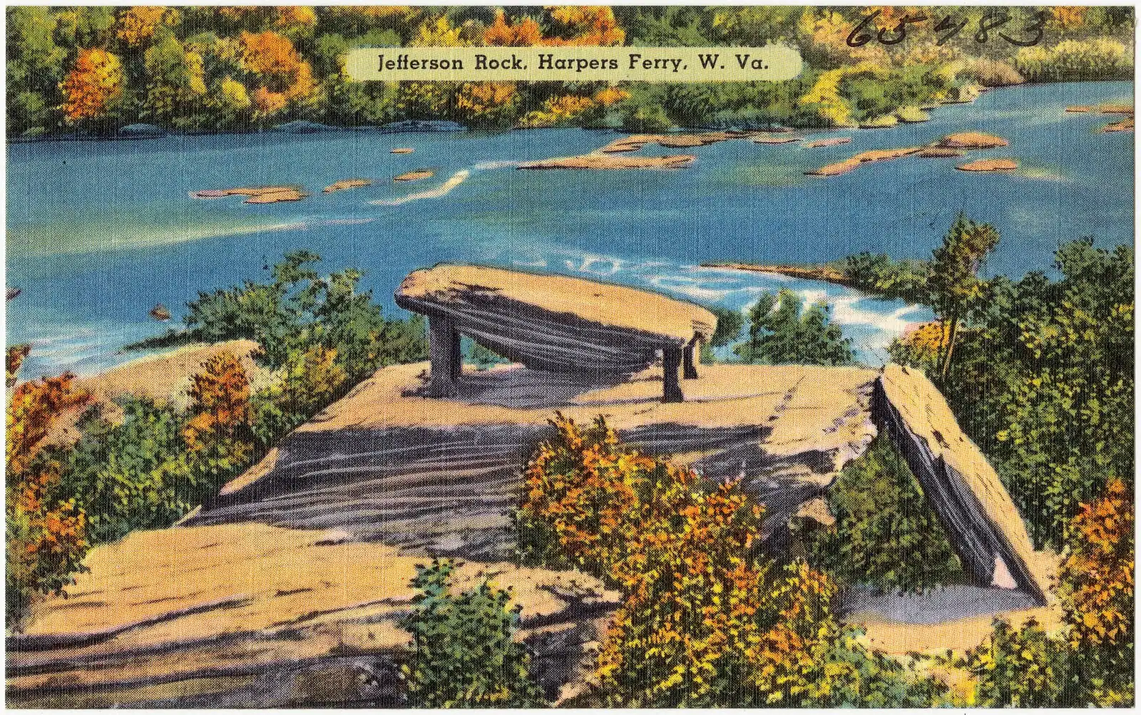
A propped shale slab above the Shenandoah gorge, and the spot that gave American travel writing its first great sentence.
0.5–1.5 hoursFree once you are inside the park; the park entrance fee still applies to your vehicle

Museum
Where thru-hikers get photographed and numbered, in albums going back decades — and where the midpoint myth gets corrected.
0.5–1 hoursFree to enter; the Conservancy is a non-profit and donations are welcomed
Trail
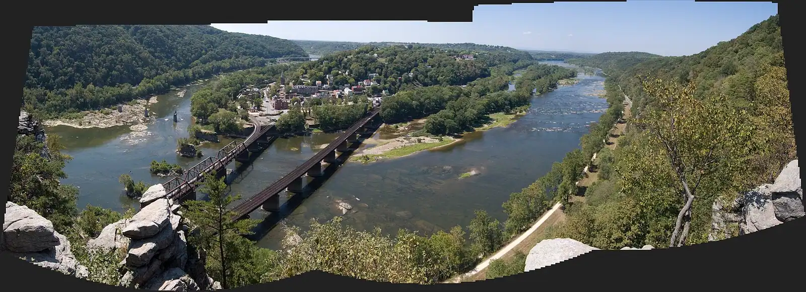
184 miles of level crushed stone on the Maryland bank, reached by a footbridge and an awkward spiral staircase.
1–5 hoursFree. The towpath itself carries no entrance fee
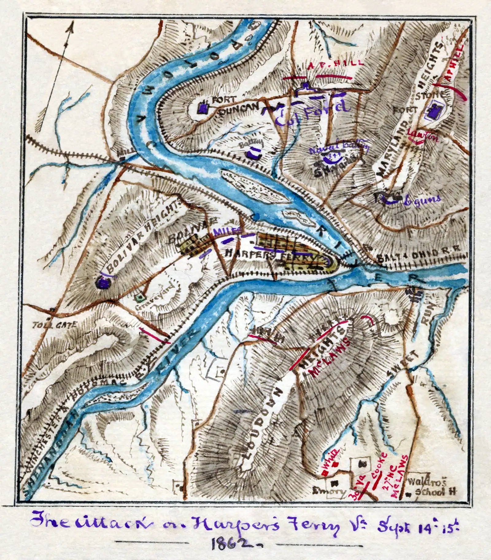
Landmark
The walkway bolted to a working railroad bridge that carries the Appalachian Trail over the Potomac — closed since July 2026.
10–25 minutesFree to cross when open; the park entrance fee applies to your vehicle
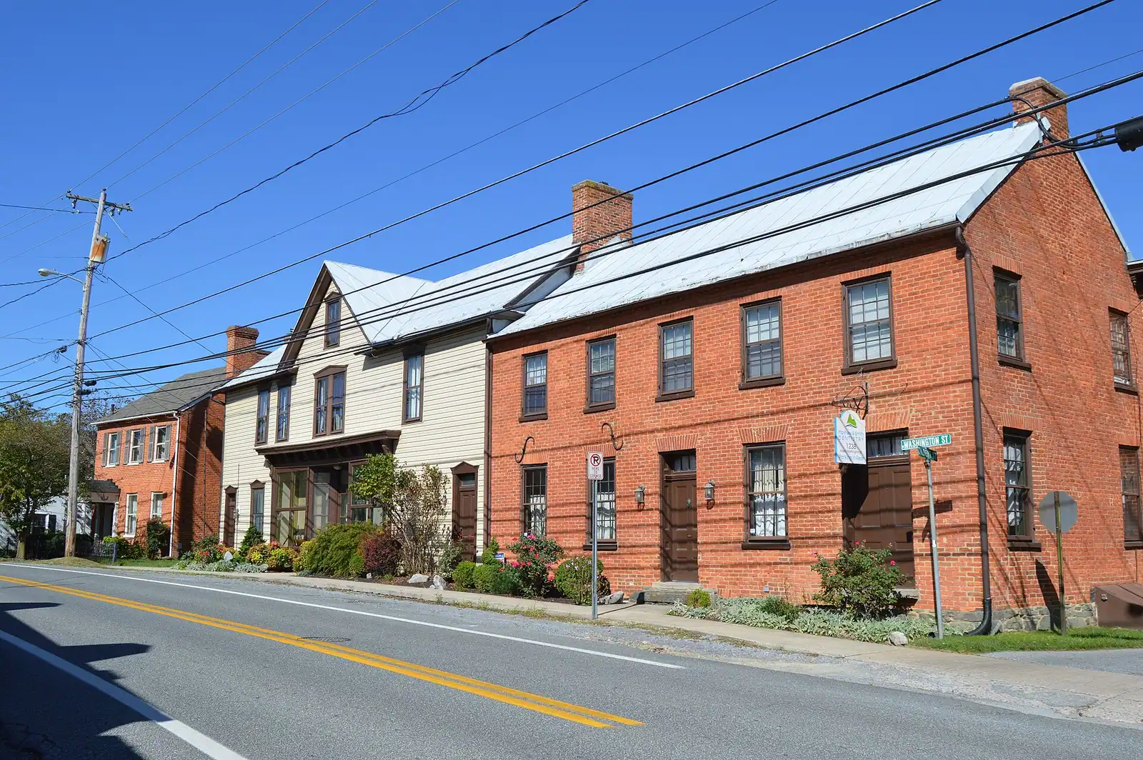
Neighbourhood
A separate town on the ridge above the lower town, four times the size of Harpers Ferry, where the rooms and the kitchens actually are.
1–3 hoursFree. Bolivar is a town, not a park site, and carries no entrance fee
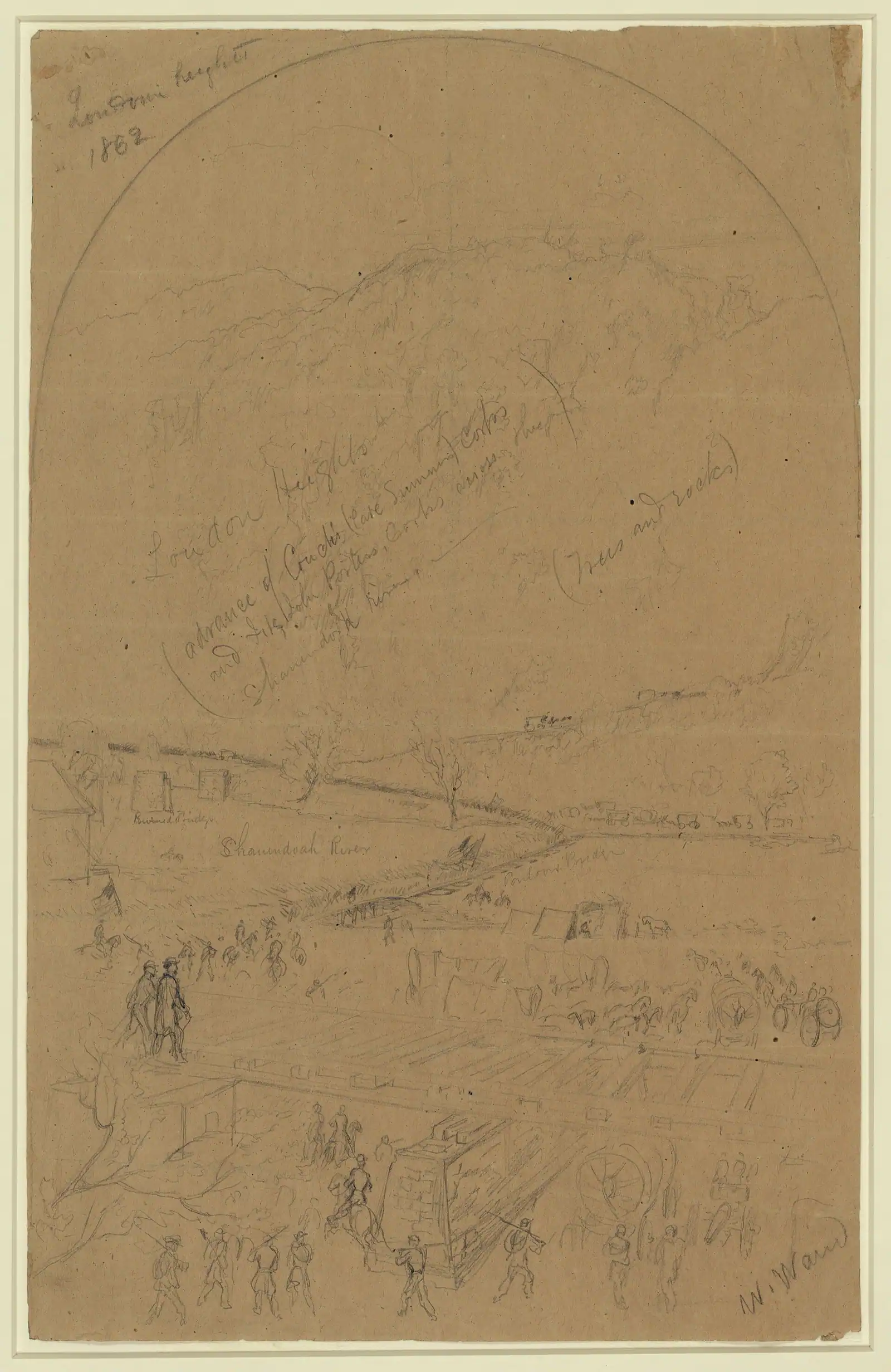
Trail
The Virginia ridge across the Shenandoah: more climbing than Maryland Heights, fewer views, and almost nobody on it.
4–5.5 hoursFree to walk; the park entrance fee applies to your vehicle at the visitor centre
Straight answers
No, and the distinction matters to hikers. Harpers Ferry is the trail's psychological midpoint and the home of the Appalachian Trail Conservancy — the National Park Service uses that word itself. The measured halfway point is further north, in Pennsylvania near Pine Grove Furnace State Park, and it moves slightly year to year as sections of trail are relocated. Harpers Ferry sits roughly a thousand miles from Springer Mountain.
Yes, and more easily than almost anywhere else on it. The trail runs through the lower town along Shenandoah Street and crosses the Potomac on the Goodloe Byron Memorial Footbridge, so a flat out-and-back onto the bridge and along the C&O Canal towpath takes under an hour. For something longer, the trail climbs the 1810 stone steps past Jefferson Rock and crosses Camp Hill, or carries on to Loudoun Heights.
On Camp Hill in Harpers Ferry, a few minutes' climb above the lower town and on the same rise as the old Storer College campus. The Conservancy has existed since 1925 and its visitor centre holds a relief map of the whole trail, guidebooks and maps, current trail information, and the binders of thru-hiker photographs. Check the ATC's own site for current opening hours, which are seasonal.
They do, and it is one of the trail's oldest customs. Hikers who reach the Appalachian Trail Conservancy stop in, are photographed on the steps and are numbered and filed by year in binders that any visitor can look through. Late May into July is the busiest stretch for northbound hikers; September and October bring the southbounders. Ask before photographing anyone yourself.
A through-walk from the Shenandoah bridge to the Maryland bank is about a mile and takes half an hour at a stroll. Adding the Camp Hill section on the stone steps, past Jefferson Rock and the Conservancy, makes a loop of under two miles with a couple of hundred feet of climbing. Loudoun Heights is a different proposition: up to 7.5 miles round trip and four to five and a half hours.
The Goodloe Byron Memorial Footbridge carries the trail across the Potomac beside the railroad bridge, and the park reported the access staircase open during construction of a replacement at the time of writing. It is the only pedestrian crossing between the lower town and the Maryland bank, so check the park's alerts page before planning a day that depends on it — including any Maryland Heights hike.
Northbound, it crosses the Potomac on the footbridge, turns downstream and runs with the flat C&O Canal towpath for roughly three miles to Weverton, then climbs to Weverton Cliffs and on over South Mountain into Maryland. Southbound, it leaves town up the 1810 stone steps past Jefferson Rock, crosses Camp Hill, and drops to the US 340 bridge over the Shenandoah toward Loudoun Heights and Keys Gap.
The trail itself is free, but most of the land it crosses here is Harpers Ferry National Historical Park, which charges an entrance fee. At the time of writing that is $10 per person arriving on foot or by bicycle, valid three consecutive days, or $20 per private vehicle if you drive in and park at the visitor center. The park does not take cash. Under-16s are free.
Keep exploring
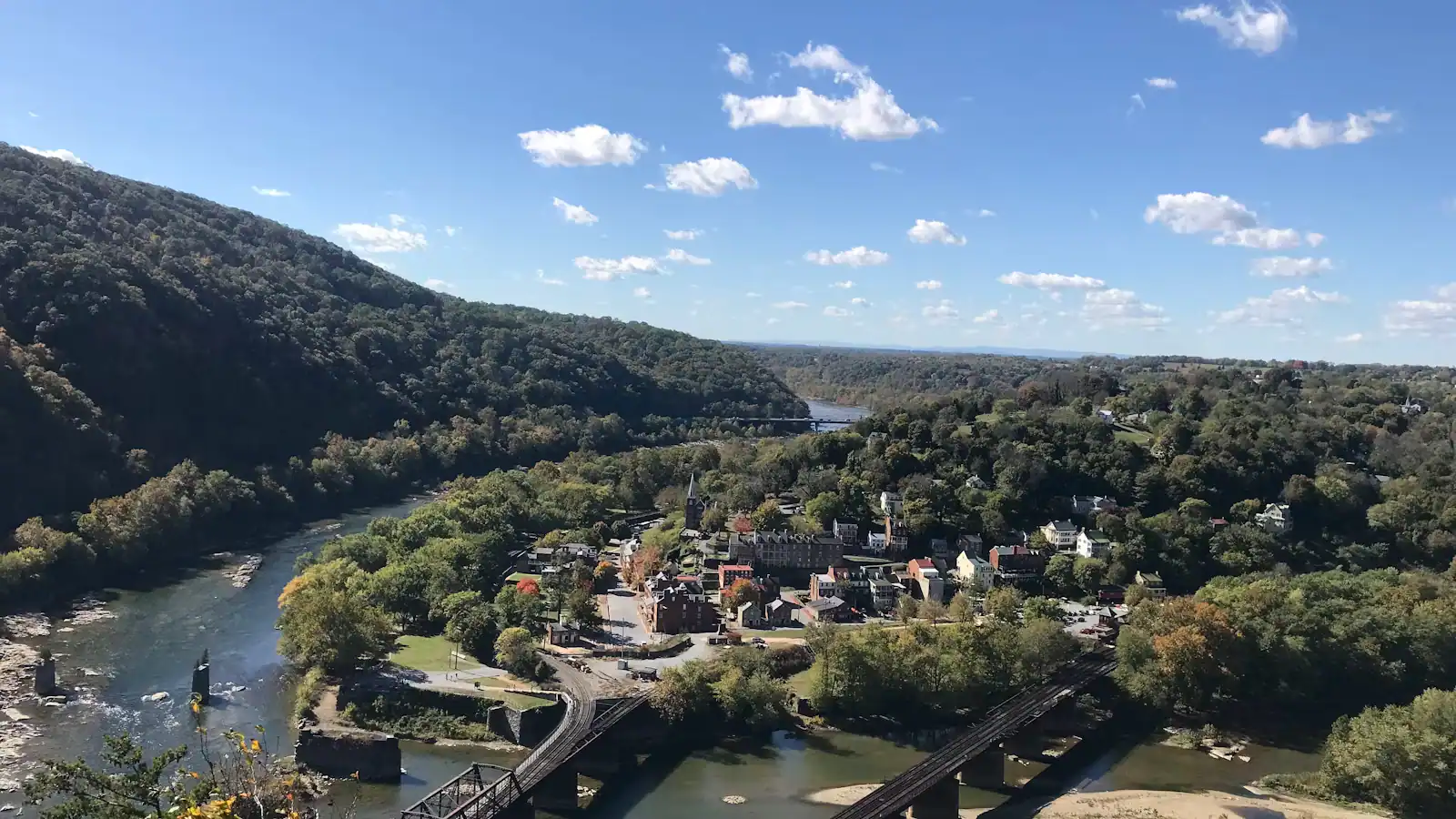
Things to do
The hiking here is entirely a consequence of the geology, and ten minutes understanding that will save you picking the wrong trail. Two rivers cut…
Things to do
Start with the correction, because it saves an afternoon. The photograph you have seen of Harpers Ferry — the whole town laid out on its spit of…

Guide hub
At most national parks the town is outside the gate. Here the town is the park. Harpers Ferry National Historical Park covers roughly 3,660 acres in…
Budget
Harpers Ferry is one of the cheapest good days out in the mid-Atlantic, and it is worth being precise about why, because the word free does two…
By season
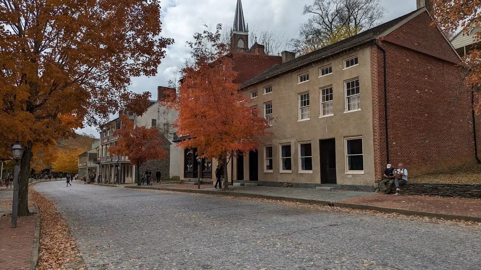
Harpers Ferry in October is the version of this place that ends up on other people's walls, and it is worth understanding both why it works and what…
Plan your trip
Learn one thing before you set off and the rest of the day looks after itself: you do not drive into the lower town. The streets that John Brown's…
Read next
Guide
The town sits in a bowl with high ground on three sides. You are either on a level towpath or climbing a thousand feet, and there is very little in between. Choose accordingly.
9 min readEmmett Coyle
Guide
The overlook everyone photographs is a thousand feet above the town, with no water on the way up and a descent that is harder than the ascent. Know the numbers before you start.
9 min readEmmett Coyle
Guide
A town of 269 people where two rivers and three states meet, and most of the streets are a national park. Three unrelated crowds arrive here every weekend. Work out which one you are first.
9 min readPrudence Ashby
Guide
The lower town read in geographical order tells the story backwards. Here is the day arranged chronologically instead, from the armoury grounds at nine to Jefferson Rock at dusk.
9 min readLoretta Sims