Neighbourhood
Camp Hill
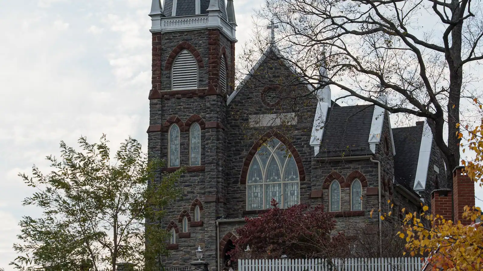
The terrace above the lower town: Storer College, the 1906 Niagara Movement meeting, and the view without the queue.
1–1.5 hoursIncluded with park entrance; the grounds carry no separate charge230 ft away
A booking made through these earns us a commission from Viator. The price is the same, and the commission had no bearing on what is recommended.
Museum
Last updated
Where thru-hikers get photographed and numbered, in albums going back decades — and where the midpoint myth gets corrected.
Photo: Alex AbairCC BY 4.0
Halfway up Washington Street, a climb from the lower town that most day visitors never make, is a modest building that functions as the emotional centre of a 2,200-mile footpath. The Appalachian Trail Conservancy has had its headquarters in Harpers Ferry for decades, and its visitor centre is where northbound thru-hikers stop to be photographed.
The ritual is fixed and it is lovely. A hiker walks in, gives a trail name, and is photographed on the front steps holding a small board with a number on it — their position in the order of arrival for that year. The photograph goes into an album. The albums stay. Hikers who came through in 1994 or 2008 can pull the binder and find themselves, and a great many of them do exactly that when they pass back through years later.
That is why the place matters more than its size suggests. Harpers Ferry is the trail's psychological midpoint: the point at which a walk that started in Georgia in March stops feeling like a beginning. It is not the geographic midpoint, and the distinction is worth getting right. The measured halfway point lies further north, in Pennsylvania near Pine Grove Furnace State Park, and it moves each year as sections are relocated and the trail's official length is recalculated. Anyone who tells you Harpers Ferry is the halfway mark is repeating a useful piece of folklore rather than a fact.
For non-hikers there is still a reason to climb Washington Street. The centre carries a large relief model of the whole trail — Georgia to Maine, laid out as terrain rather than as a line on a map — and standing in front of it does more to explain what a thru-hike actually is than any amount of reading. There are exhibits, maps, staff who answer questions properly, and a shop.
The organisation itself dates to 1925, when it was founded as the Appalachian Trail Conference to build the thing. It took the name Conservancy in 2005.
Uphill from the lower town, and the climb is the reason most visitors never get here. From the shuttle stop, walk up High Street, continue as it becomes Washington Street, and keep going through Camp Hill. Fifteen to twenty minutes at a steady pace with a steady gradient throughout.
Coming off the Appalachian Trail you will pass close to it: the trail runs along the hillside below, and the short link up to the Conservancy is signed and well used.
For anyone who cannot manage the climb, there is a road approach through Bolivar that reaches this part of town on the level. Street parking up here is residential and limited, so if you are driving specifically for the Conservancy it is worth checking current arrangements rather than assuming a space.
The centre is a non-profit organisation, not a National Park Service building, and sets its own seasonal hours. Check them before you climb.
Every hiker who comes in and asks is photographed and given a number: first through, second, three hundredth. The count restarts each calendar year. A northbounder arriving in late May is typically somewhere in the high hundreds, because the bulk of the northbound bubble that left Springer Mountain in March reaches West Virginia in that window.
The photographs are kept in binders by year, and browsing them is free and encouraged. The change in the faces between the early pages and the later ones in any given year is the most honest thing anyone has ever published about long-distance walking.
Southbounders, flip-floppers and section hikers get photographed too, and the staff keep the count for each.
If you visit in the second half of May or the first half of June you will be sharing the front steps with people who have been walking since March. They are visibly weathered, they smell of woodsmoke and they are, almost to a person, delighted to explain what they are doing. Day visitors who make the climb at that time of year get something no exhibit can provide.
Opening hours are set by the Conservancy rather than by the National Park Service and vary by season. Check before you climb.
Two different claims get muddled here, so it is worth separating them.
The psychological midpoint is Harpers Ferry. This is where the Conservancy sits, where the photograph is taken, where the trail comes off the ridge and walks down a town's main street, and where a northbound hiker first meets a place that treats the walk as normal. It is a milestone made of meaning rather than mileage.
The geographic midpoint is in Pennsylvania. The measured halfway point of the Appalachian Trail lies near Pine Grove Furnace State Park, roughly a hundred miles further north, and it is marked. That is where the half-gallon ice-cream challenge happens, at the store by the park.
And it moves. The trail's official length is recalculated as sections are rerouted, so the halfway marker is relocated periodically. Any specific mileage figure for the Appalachian Trail is a snapshot, which is why this page says roughly 2,200 miles rather than a precise number.
None of which diminishes Harpers Ferry. Milestones that are made of feeling rather than measurement are generally the ones that get remembered, and the Conservancy has spent decades making this one concrete with a camera and a filing system.
Allow thirty to forty-five minutes. Combine it with Camp Hill and the Storer College campus, which are a few minutes' walk away, and you have a two-hour upper-town circuit that most visitors skip entirely.
This is a non-profit organisation rather than a park facility, so it keeps its own hours, which are seasonal. Confirm before you make the climb specifically for it.
Straight-line distances, so allow more on the road — the island is long and has one main parkway.
Neighbourhood
The terrace above the lower town: Storer College, the 1906 Niagara Movement meeting, and the view without the queue.
1–1.5 hoursIncluded with park entrance; the grounds carry no separate charge230 ft away
Historic site
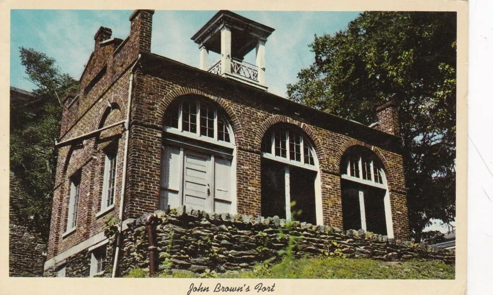
A college founded to educate people who had been enslaved, closed in 1955 by the consequences of a civil rights victory.
0.5–1.5 hoursFree; covered by the park entrance fee charged on your vehicle570 ft away
Shopping
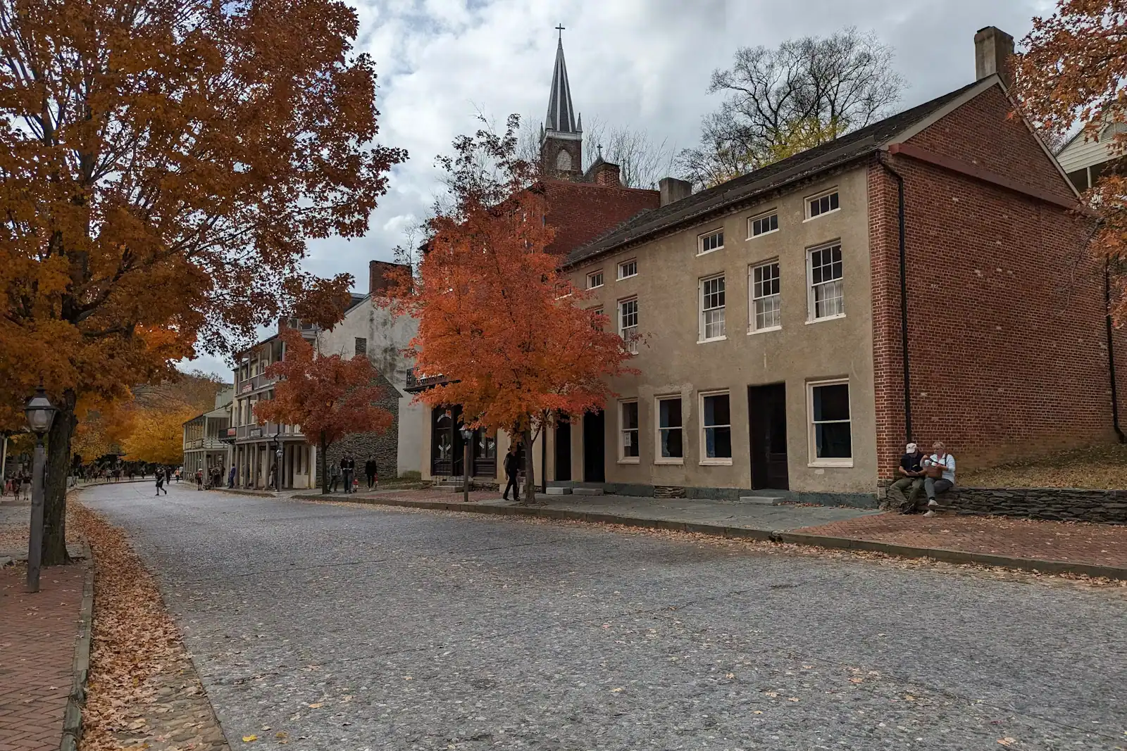
The lower town's one commercial street: a stone climb of shopfronts ending at the steps up to St Peter's and Jefferson Rock.
0.5–1.5 hoursThe street is free to walk; reaching it means entering the national historical park0.3 mi away
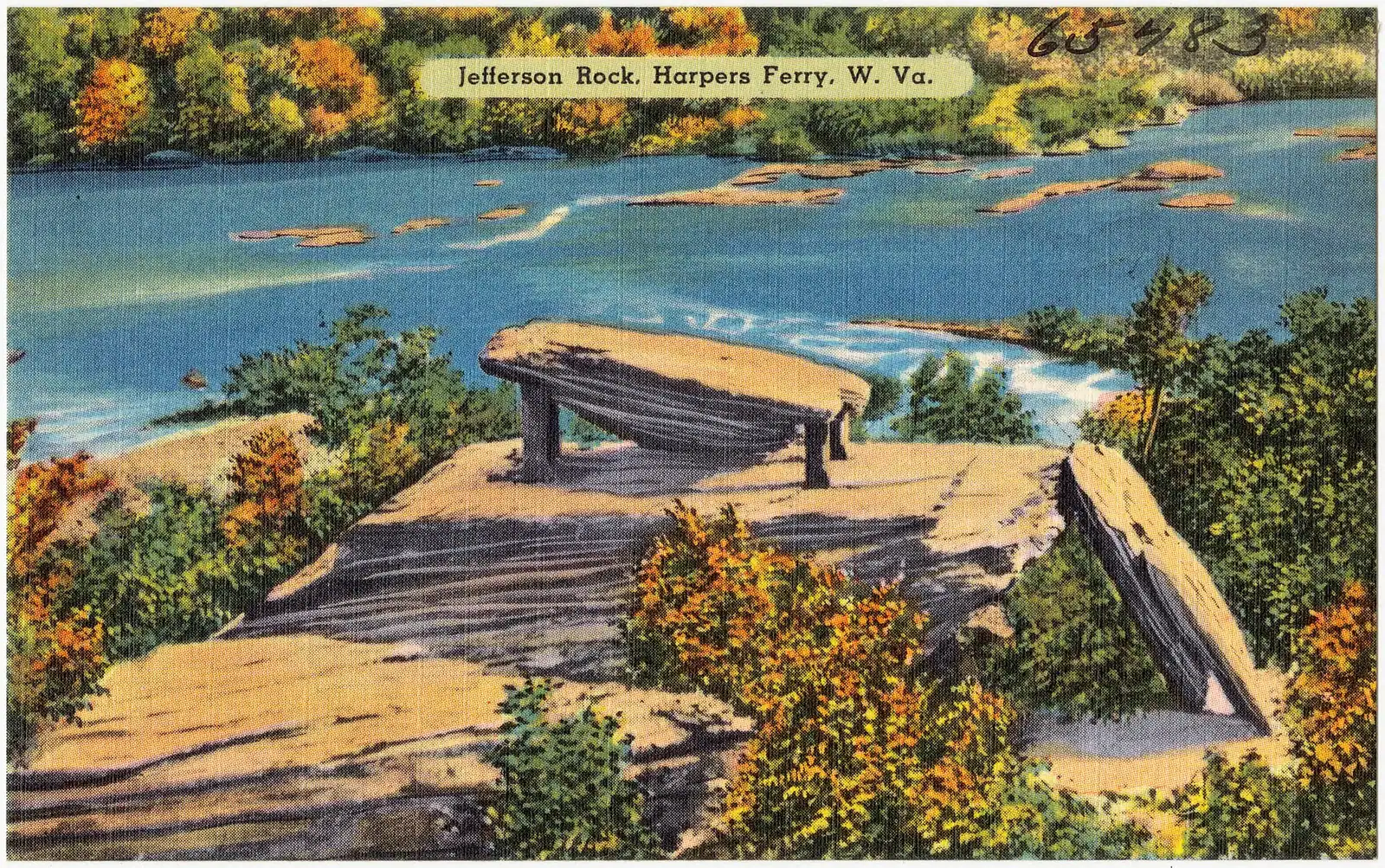
Viewpoint
A propped shale slab above the Shenandoah gorge, and the spot that gave American travel writing its first great sentence.
0.5–1.5 hoursFree once you are inside the park; the park entrance fee still applies to your vehicle0.2 mi away
Where this place fits into a day, and the pages that plan one.
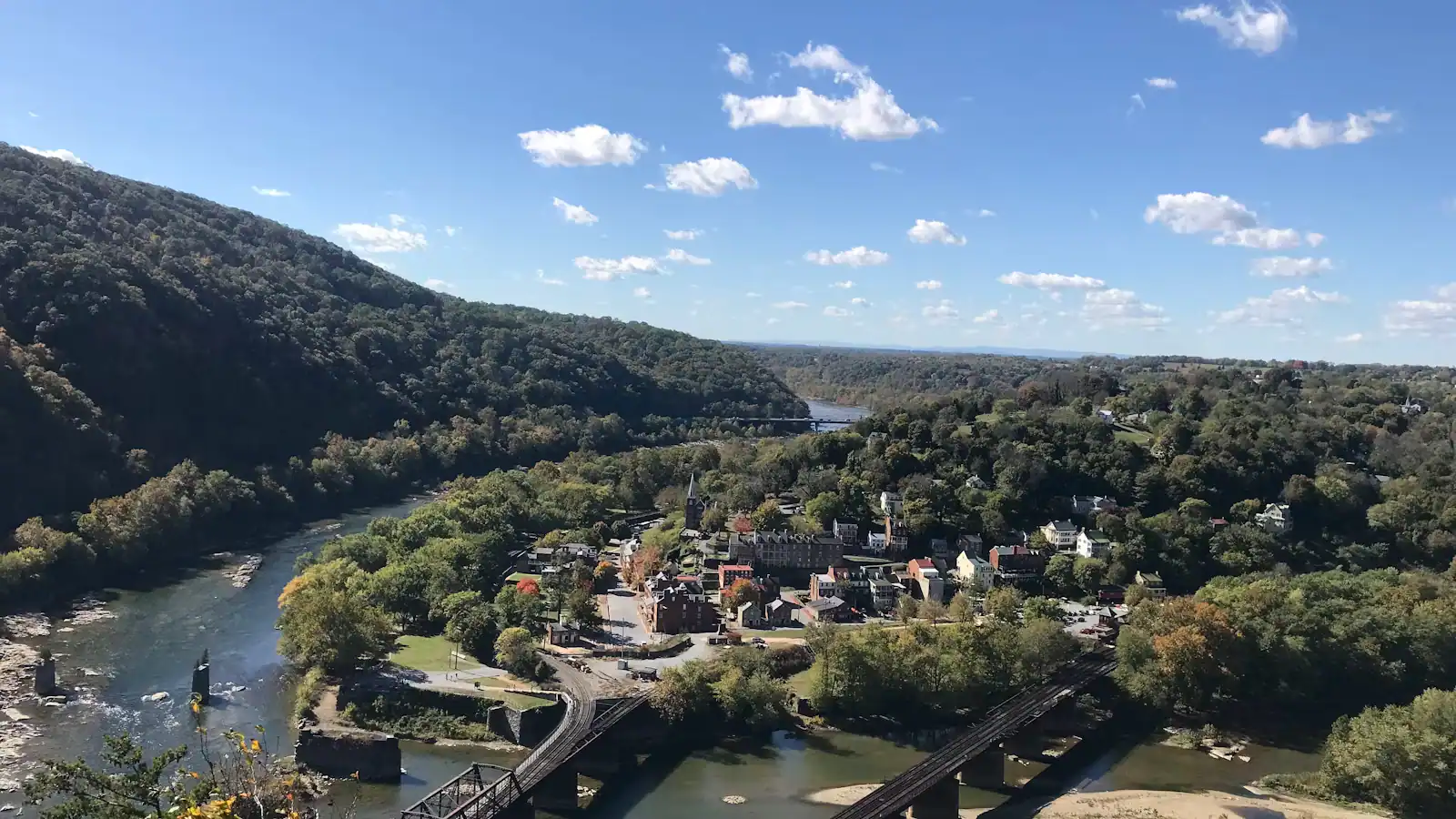
Things to do
The hiking here is entirely a consequence of the geology, and ten minutes understanding that will save you picking the wrong trail. Two rivers cut…
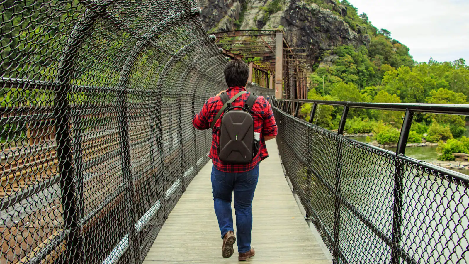
Things to do
Most long-distance trails pass towns. This one goes through the middle of one. The Appalachian Trail comes off Loudoun Heights in Virginia, crosses…
Budget
Harpers Ferry is one of the cheapest good days out in the mid-Atlantic, and it is worth being precise about why, because the word free does two…
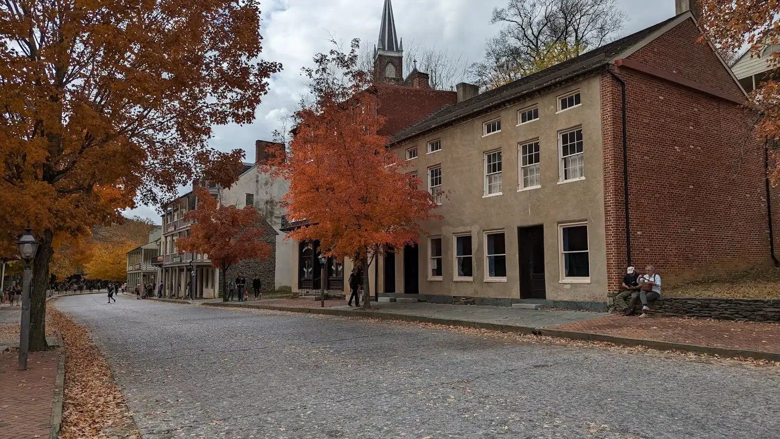
Things to do
Adjust the expectation before you arrive and this becomes one of the best hours in the park. There is no Harpers Ferry Museum. There is no hall with…
Who it suits
Start with the truth, because it saves you a disappointing morning: Harpers Ferry is an outdoor destination and rain genuinely changes the plan. The…
Guide
The town sits in a bowl with high ground on three sides. You are either on a level towpath or climbing a thousand feet, and there is very little in between. Choose accordingly.
9 min readEmmett Coyle
Guide
The lower town read in geographical order tells the story backwards. Here is the day arranged chronologically instead, from the armoury grounds at nine to Jefferson Rock at dusk.
9 min readLoretta Sims
Guide
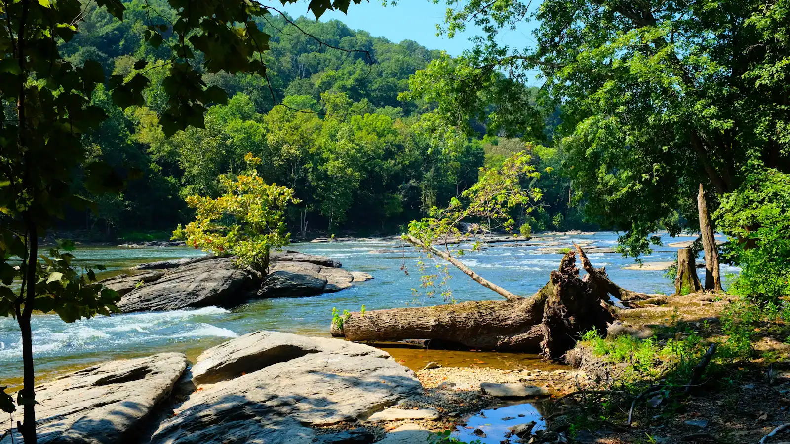
The river peaks in spring, the colour in October, the thru-hikers in May, and the shuttle clock changes in November. No month is best for all four. Pick the one that matches why you are coming.
9 min readPrudence Ashby
No, though it is treated as one. Harpers Ferry is the trail's psychological midpoint, which is a real thing in hiker culture but not a measurement. The geographic halfway point lies about a hundred miles further north in Pennsylvania, near Pine Grove Furnace State Park, and it is relocated periodically as sections of the trail are rerouted and the official length is recalculated. The town earns its status because the Conservancy's headquarters is here and the walk starts feeling different at this point.
Yes. Any thru-hiker who stops in is photographed on the front steps holding a small board with their number on it — their position in the order of arrival for that year — and the picture goes into an album. The albums go back decades and are free to browse, so hikers returning years later can find themselves. The count restarts each January and is kept separately for northbounders, southbounders and flip-floppers.
Yes, for about forty minutes. The large three-dimensional relief model of the trail from Georgia to Maine does more to convey what a thru-hike involves than any written account, the staff answer questions about local day walks properly, and the hiker photo albums are the best free exhibit in town. It also gives you a reason to climb Washington Street to Camp Hill, which takes you past the old Storer College buildings that most day visitors never see.
It goes straight down the middle of it. The trail comes along the hillside past Jefferson Rock and the churches, drops into the lower town on the 1810 stone steps, runs through the historic district and crosses the Potomac on the footbridge attached to the railroad bridge. Very few towns on the whole route are walked through so directly, which is part of why Harpers Ferry occupies the place it does in trail culture.