Skip to content
Menu

A booking made through these earns us a commission from Viator. The price is the same, and the commission had no bearing on what is recommended.

Plan your trip

Getting Around Harpers Ferry on Foot

Last updated

How to move around Harpers Ferry: walking times from the shuttle stop, the two-stop bus, crossing the rivers on foot, bikes, trains and step-free options.

A long steel bridge carrying a walkway across a wide river, with a forested ridge rising behind itUnsplash

Once you are off the bus, Harpers Ferry is a walking town — and a vertical one. That second part is what people underestimate. The whole of the historic lower town can be crossed in about fifteen minutes end to end, which sounds like nothing until you realise that getting from the flat street by the water to the church spire above it involves a couple of hundred feet of climbing on worn stone laid before the Civil War.

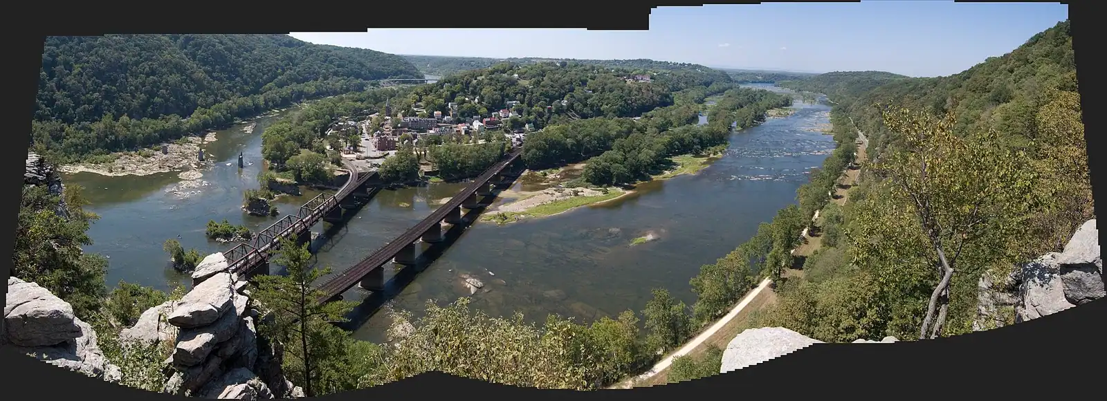
The layout is simple enough to hold in your head. Shenandoah Street runs flat along the water past the exhibit buildings. High Street climbs away from it through the shopfronts. At the top of High Street a flight of steps cut into the rock in 1810 takes you up past St Peter's to Jefferson Rock, and from there the ground levels onto Camp Hill, where the Storer College grounds and the Appalachian Trail Conservancy are. Behind and above all of it, up on the ridge, is Bolivar, which is a twenty-minute walk if your legs are willing and a two-minute drive if they are not.

The shuttle is the only vehicle you need. It has two stops — the visitor center up on Cavalier Heights and the lower town — runs every ten to fifteen minutes on every day the park is open, starts at nine in the morning, and is covered by the entrance fee you have already paid. The last bus back up leaves the lower town at seven in the evening while daylight saving time is in force and half past five through the standard-time season. Everything about arriving, parking and paying is on our getting there and parking page; this one is about what you do afterwards.

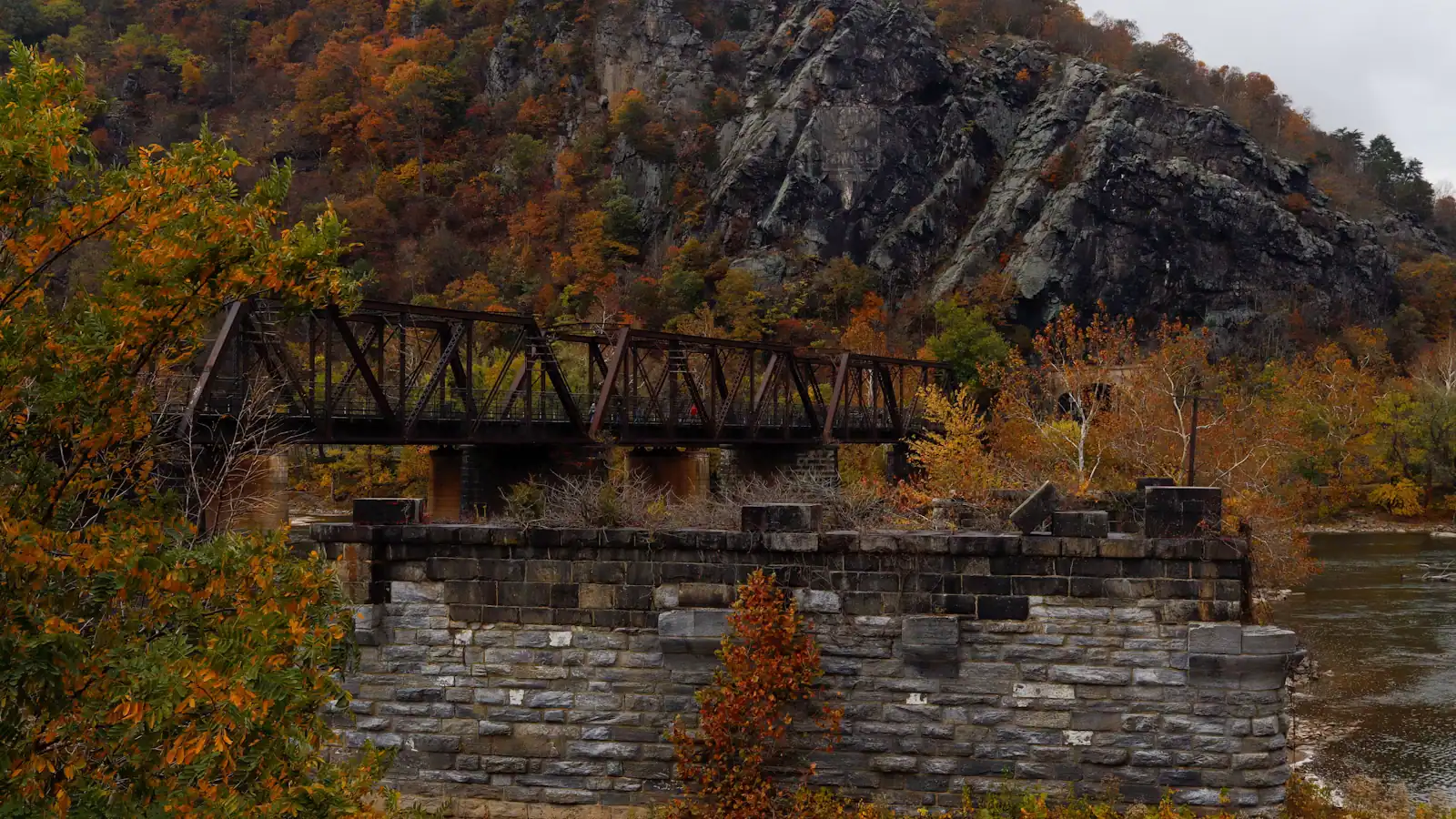
Three things extend the map beyond the lower town. The footbridge over the Potomac, which carries walkers and the Appalachian Trail to the C&O Canal towpath and the Maryland Heights trailhead — and which the park listed as closed from 27 July 2026 for stairway construction, so check before you count on it. The railway, which puts a platform inside the historic town and makes a car-free day genuinely possible if you plan around a specific train. And a car, which is what turns Antietam, Shepherdstown and Charles Town into the second half of a day.

What follows is the walking, in times rather than distances, because in this town the gradient is the unit that matters.
The shuttle, and the rules people get caught by

Local tips

  • Two stops, and that is the whole route. Visitor center on Cavalier Heights, and the lower town. It is not a network and you cannot take it somewhere else.
  • Every ten to fifteen minutes, on every day the park is open, first bus at nine in the morning.
  • The ride is covered by your entrance fee. There is nothing else to buy and no ticket to show on board.
  • Last bus up from the lower town is at seven in the evening under daylight saving time, half past five under standard time. Miss it and the way back is the Visitor Center to Lower Town Trail, on foot, uphill.
  • Pushchairs must be folded before you board. Plan for it rather than discovering it with a queue behind you.
  • No coolers, no open food or drink. Pack lunch in a bag.
  • No pets, service animals excepted.
  • Ramps or lifts are fitted, which makes the journey down into the lower town step-free by design.
  • If you would rather walk, the Visitor Center to Lower Town Trail is a pleasant descent and an honest climb back. Reckon on twenty-five to thirty-five minutes each way.

Crossing the rivers on foot

There is one pedestrian crossing of the Potomac here, and it does a lot of work. The Goodloe Byron Memorial Footbridge runs alongside the railroad bridge and carries the Appalachian Trail out of town, with a spiral staircase dropping from it onto the C&O Canal towpath on the Maryland bank. Nearly everything on the far side of the river — the towpath, the Maryland Heights trailhead, the classic overlook — is reached that way.

The standard approach to Maryland Heights makes the sequence clear: from the Master Armorer's House in the lower town you follow the Appalachian Trail to the end of Shenandoah Street, pass under a railroad trestle, cross the footbridge, take the spiral staircase down to the towpath, walk 0.3 miles upstream and cross Harpers Ferry Road to the trailhead.

As this page was last checked, the park listed that footbridge as closed from Monday 27 July 2026 while an improved stairway is built, with no reopening date published, noting that the trail itself remains open but access is challenging and suggesting other walks. Treat the Maryland bank as unavailable on foot until the park says otherwise, and check the current conditions page the week you travel.

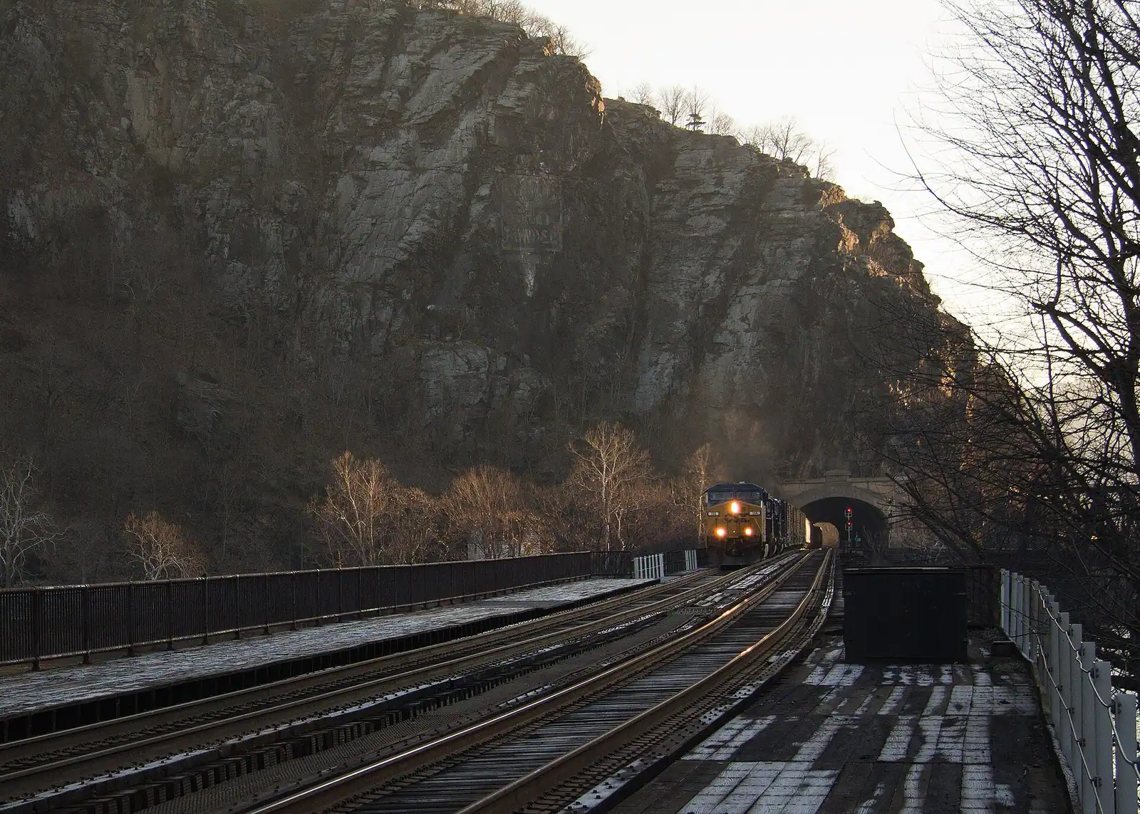
One thing that is never a crossing: the railroad bridge itself. This is a working freight line and the tracks are not a walkway. The footbridge exists precisely so that nobody needs to be on them.

Bicycles, and where they actually work

A bicycle is either the best way to get around here or a liability, depending entirely on which side of the river you are on.

On the Maryland bank it is the best. The C&O Canal towpath runs 184.5 miles of flat crushed stone from Georgetown to Cumberland with this town at roughly mile 61 — no traffic, no gradient, and out-and-backs of any length toward Brunswick downstream or Antietam Creek upstream. It is the best easy riding in the region and the reason people bring bikes here at all.

In the lower town it is not. The streets are narrow, the surfaces are cobble and worn stone, the gradient is severe above Shenandoah Street, and the place is full of pedestrians. You will spend more time pushing than riding.

Two logistical notes. Getting a bike down to the towpath means the spiral staircase off the footbridge, which is awkward with a loaded touring bike and impossible with a trailer — and impossible altogether while the bridge is closed for construction. And shuttle capacity for bicycles is limited, so plan to ride down from the visitor center rather than to carry a bike aboard.

Anyone arriving on foot or by bicycle pays the per-person entrance fee rather than the vehicle one, which for a solo visitor is the cheapest way to do this at all.

The train, and what it can and cannot do

The station sits at the West Virginia end of the railroad bridge, which means the platform is inside the historic lower town rather than a taxi ride from it. You step off a train into the place you came to see. For a national park, that is close to unique.

Two services call here and neither is frequent. MARC's Brunswick Line runs Monday to Friday between Washington Union Station and Martinsburg, mostly in the commuter peak direction — into the city in the morning, out in the evening — which suits a commuter far better than a day-tripper heading the other way. Amtrak calls once in each direction daily on its Washington to Chicago long-distance route; the train's name has changed in recent years, so search the current timetable by station rather than by service name.

That makes a car-free visit genuinely possible and entirely dependent on the timetable. Read the current schedule before you commit rather than after, and build the day around a specific departure home.

Two practical notes. The platform is not step-free, which matters if mobility is a consideration. And arriving on foot you pay the per-person entrance fee — there is an entrance station at the train station itself, so this is not a way around the fee.

Cars, taxis and the point-to-point problem

You need a car to reach Harpers Ferry comfortably and you should stop using it the moment you arrive. Inside the park the shuttle does the job; outside it, a car is what makes Antietam eleven miles north, Shepherdstown twelve miles on and Charles Town eight miles west into the second half of a day rather than a separate trip.

Rideshare is thinner than visitors expect and worth understanding before you need it. Uber and Lyft operate in Jefferson County and coverage is reasonable around Charles Town and Ranson, which is where the drivers actually live. A pickup from the lower town on a Saturday afternoon usually happens. One at half past eight on a Tuesday evening may not. Local car services take advance bookings, which is the sensible approach for an early train or an airport run.

The place this matters most is a point-to-point hike. If you are walking a section of the Appalachian Trail out to Keys Gap rather than looping back, arrange the ride home before you set off, not from a ridge with one bar of signal.

And remember the park's hours on any driving plan: trails and parking lots open thirty minutes before sunrise and close thirty minutes after sunset, including the lots at Bolivar Heights and the other outlying sites.

If steps and gradients are a problem

An honest account, because this is a nineteenth-century hillside and no amount of good intent changes that.

What works. The visitor center on Cavalier Heights is accessible, with accessible parking and restrooms. The shuttle carries ramps or lifts, so the journey down into the lower town is step-free by design rather than by luck. Shenandoah Street itself is broadly flat, and several of the ground-floor exhibit spaces along it can be entered. Bolivar Heights is the standout: its own parking area, a short and largely level ridge-top walk, and the widest view in the area without a climb. When the steps are out of reach, that is where to go for the landscape.

What does not. High Street is a real gradient on worn stone with uneven kerbs. Jefferson Rock is reached by the 1810 stone steps and there is no alternative route to it. Maryland Heights and Loudoun Heights are strenuous climbs on rough ground. The railway platform is not step-free. Several historic interiors have a step at the door and floors that predate any code.

The one to watch. The C&O towpath is level crushed stone and among the most accessible long trails in the region — but the spiral staircase down from the footbridge is not the way to reach it, and while the bridge is closed for construction it is not reachable on foot from this side at all.

Say plainly what you need when you ask at the visitor center. The rangers here field this question constantly and will tell you what is currently possible rather than what the brochure says.

Walking times from the lower-town shuttle stop

How they compare

Estimates at an ordinary pace, not a schedule. Add time in summer heat and in winter ice, and add a great deal if you are pushing a pushchair above Shenandoah Street.

WhereTimeClimbSurface
The Point and the confluence4 minutesFlatPaved, then rock at the edge
John Brown's Fort3 minutesFlatPaved
Along the Shenandoah Street exhibit buildings5 minutes end to endFlatPavement, cobble, steps at some doors
Top of High Street8–10 minutesSteepWorn stone, uneven kerbs
St Peter's Catholic Church12 minutesSteep, with stepsThe 1810 stone steps
Jefferson Rock15–20 minutesSteep, with stepsStone steps, then a rock path
Camp Hill and the Storer College grounds25 minutesSteep, then levelSteps, then made path
Appalachian Trail Conservancy25–30 minutesAs abovePavement on Washington Street
Virginius Island loop10 minutes to the startFlatUneven, can flood
The footbridge over the Potomac6–8 minutesFlat, then stepsTrestle underpass, then the bridge
Maryland Heights trailhead25 minutesFlat, plus the spiral staircaseBridge, staircase, 0.3 miles of towpath
Bolivar20–25 minutesA long steady climbPavement
Back up to the visitor center on foot25–35 minutesA couple of hundred feetThe Visitor Center to Lower Town Trail

On the ground

Where to go

Every place below has its own page — hours, parking, what it costs and what to expect when you get there.

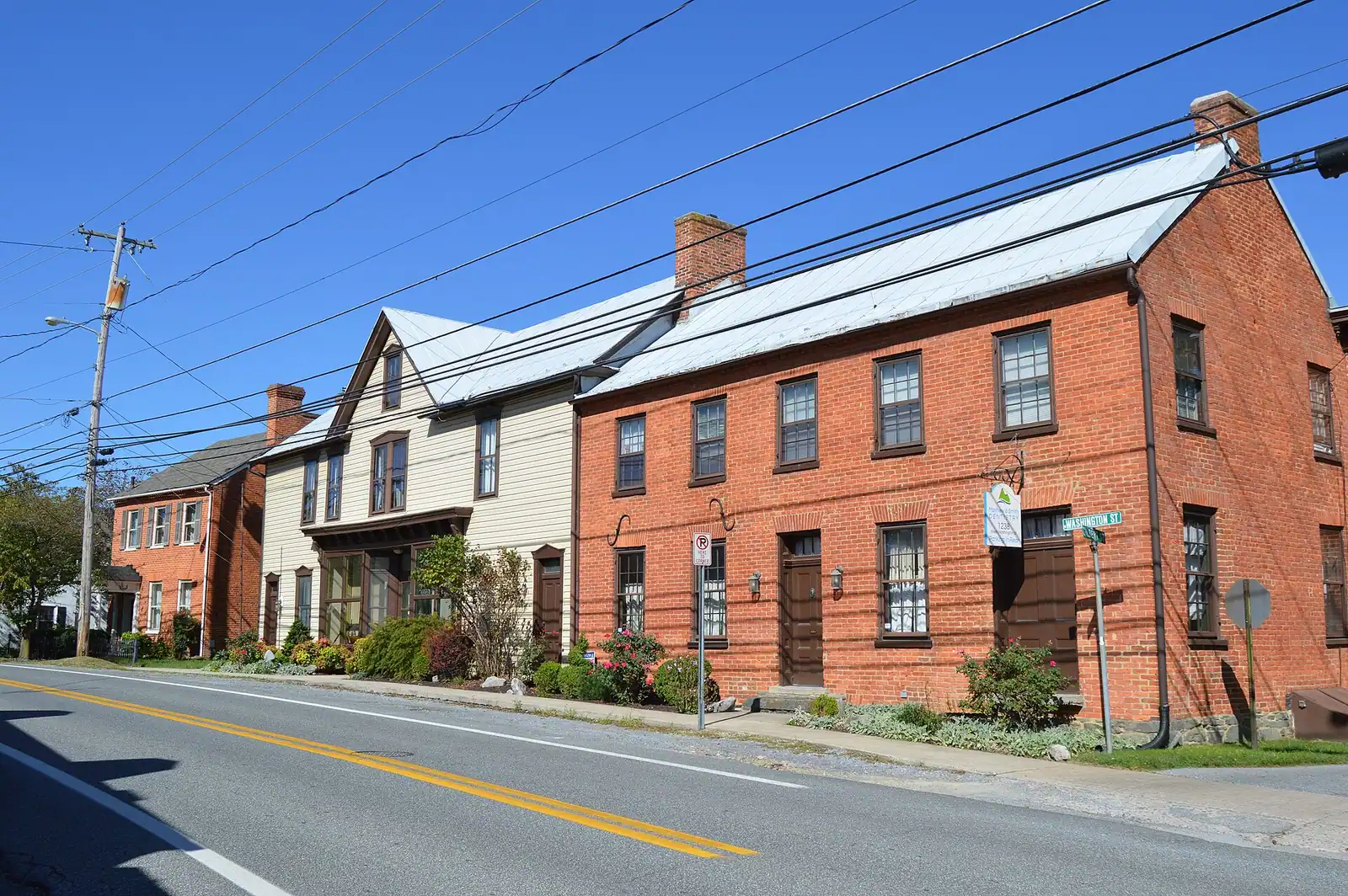
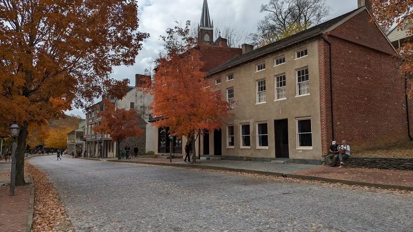
  • A narrow street of nineteenth-century shopfronts running uphill between stone kerbs

    Neighbourhood

    Lower Town Harpers Ferry

    Two streets and a flight of stone steps, all of it inside a national park, with the high-water marks still on the walls.

    2–5 hoursPark entrance fee applies; National Park Service exhibit buildings are then free to enter

  • A steel railway bridge with a walkway along its side crossing a wide river below a wooded ridge

    Landmark

    Free

    Harpers Ferry Train Station

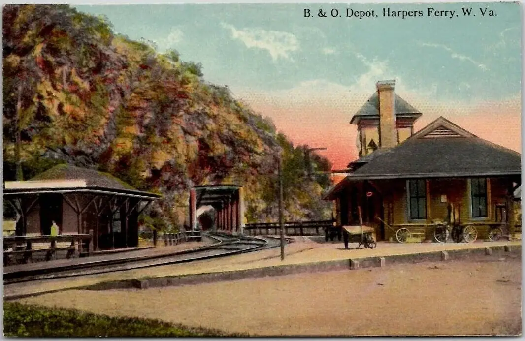
    An 1894 B&O station whose platform sits inside the historic district, served by weekday MARC trains and one Amtrak each way.

    10–30 minutesFree to visit. Rail fares are charged by MARC and Amtrak separately

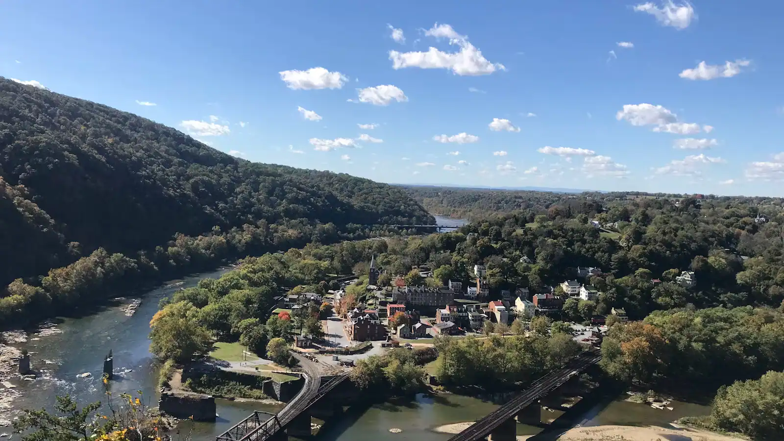
  • A small town of pale rooftops and a church spire below wooded hills and river water, seen from above

    Landmark

    Cavalier Heights Visitor Center

    The park's only real car park, the fee station and the shuttle stop. Set your navigation here, not to the town.

    20–45 minutesPark entrance at the time of writing: $20 per vehicle, $15 per motorcycle, $10 per person on foot or bicycle, each valid three consecutive days

  • Green trees lining the edge of flat, slow river water under a bright sky

    Trail

    Free

    C&O Canal Towpath

    184 miles of level crushed stone on the Maryland bank, reached by a footbridge and an awkward spiral staircase.

    1–5 hoursFree. The towpath itself carries no entrance fee

  • A whitewashed stone-walled house on a steep bank, its garden held up by a dry stone retaining wall

    Historic site

    Free

    Bolivar Heights

    Flat, open and five minutes from the car park: the battlefield where a Union garrison of 12,500 surrendered in two days.

    1–1.5 hoursNo separate charge; covered by the park entrance fee, which is valid three consecutive days

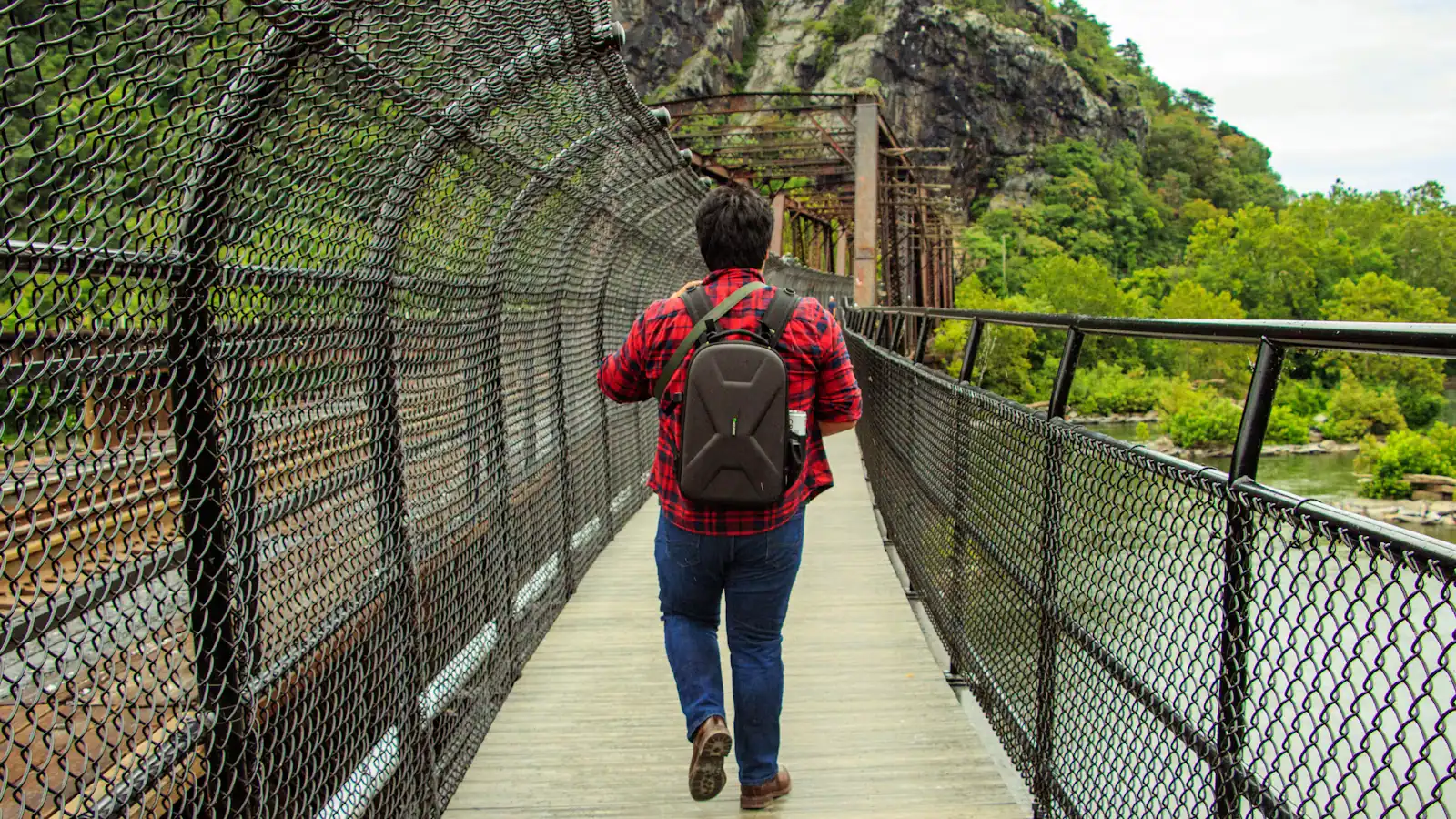
  • A walker crossing a river footbridge with a pack on their back, the far bank thick with trees

    Landmark

    Free

    Appalachian Trail Footbridge

    The walkway bolted to a working railroad bridge that carries the Appalachian Trail over the Potomac — closed since July 2026.

    10–25 minutesFree to cross when open; the park entrance fee applies to your vehicle

  • A walker carrying a full pack on a trail above a river, trees thick on the far bank

    Neighbourhood

    Free

    Bolivar

    A separate town on the ridge above the lower town, four times the size of Harpers Ferry, where the rooms and the kitchens actually are.

    1–3 hoursFree. Bolivar is a town, not a park site, and carries no entrance fee

Straight answers

Questions people actually ask

Do you need a car in Harpers Ferry?

To reach the town, almost certainly; inside it, no. The park shuttle runs between the Cavalier Heights visitor center and the lower town every ten to fifteen minutes and is included in your entrance fee, and everything in the historic town is within a fifteen-minute walk. A car earns its keep for the day trips: Antietam eleven miles north, Shepherdstown twelve, Charles Town eight west. A car-free visit by train is possible if you plan around the timetable.

How do you get around Harpers Ferry without walking uphill?

Stay on Shenandoah Street, which runs flat along the water and holds most of the park's exhibit buildings, John Brown's Fort and the path to the Point. The shuttle brings you down from the visitor center with ramps or lifts fitted, so that part is step-free. For a wide view without any climb at all, drive to Bolivar Heights, which has its own parking area and a short, largely level walk.

How long does it take to walk around Harpers Ferry?

The flat part of the lower town takes about half an hour to walk end to end with stops. Adding the 1810 stone steps and Jefferson Rock takes twenty minutes each way and a couple of hundred feet of climbing. Camp Hill and the Storer College grounds are another twenty-five minutes from the shuttle stop. A thorough day on foot, without the heights, is about four hours of walking.

Is the Appalachian Trail footbridge open at Harpers Ferry?

Not as this page was last checked. The National Park Service listed the Goodloe Byron Memorial Footbridge as closed from Monday 27 July 2026 for construction of an improved stairway, with no published reopening date, and noted that while the trail remains open, access is challenging. That bridge is the pedestrian route to the C&O towpath and the Maryland Heights trailhead, so check the park's current conditions page before planning around either.

Can you take a bike on the Harpers Ferry shuttle?

Capacity for bicycles is limited, so do not count on it. The practical approach is to ride down from the visitor center rather than carry a bike aboard. Bear in mind that a bike is a liability in the lower town itself — cobbles, gradient, pedestrians — and comes into its own on the flat C&O towpath across the river, which is reached by a spiral staircase off the footbridge.

Is there Uber or Lyft in Harpers Ferry?

Both operate in Jefferson County, with the best coverage around Charles Town and Ranson where the drivers live. A pickup from the lower town on a busy weekend afternoon usually works; one late on a weekday evening may not. Local car services take advance bookings, which is the sensible choice for an early train or an airport run, and essential if you are finishing a point-to-point hike somewhere off the map.

How do you get from Harpers Ferry to Maryland Heights?

On foot from the lower town, when the footbridge is open. The route runs from the Master Armorer's House along the Appalachian Trail to the end of Shenandoah Street, under a railroad trestle, across the footbridge, down a spiral staircase to the C&O towpath, then 0.3 miles upstream and across Harpers Ferry Road to the trailhead. There is no visitor parking at the trailhead itself; the park's advice is to park at the visitor center and ride the shuttle in.

What time does the last shuttle leave Harpers Ferry?

Seven in the evening from the lower town while daylight saving time is in force, and half past five through the standard-time season. The first bus of the day leaves the visitor center at nine. If you miss the last one, the way back up to Cavalier Heights is the Visitor Center to Lower Town Trail on foot — a couple of hundred feet of climbing that takes most people twenty-five to thirty-five minutes.