Skip to content
Menu

A booking made through these earns us a commission from Viator. The price is the same, and the commission had no bearing on what is recommended.

Neighbourhood

Bolivar

Last updated

A separate town on the ridge above the lower town, four times the size of Harpers Ferry, where the rooms and the kitchens actually are.

Photo: NyttendPublic domain

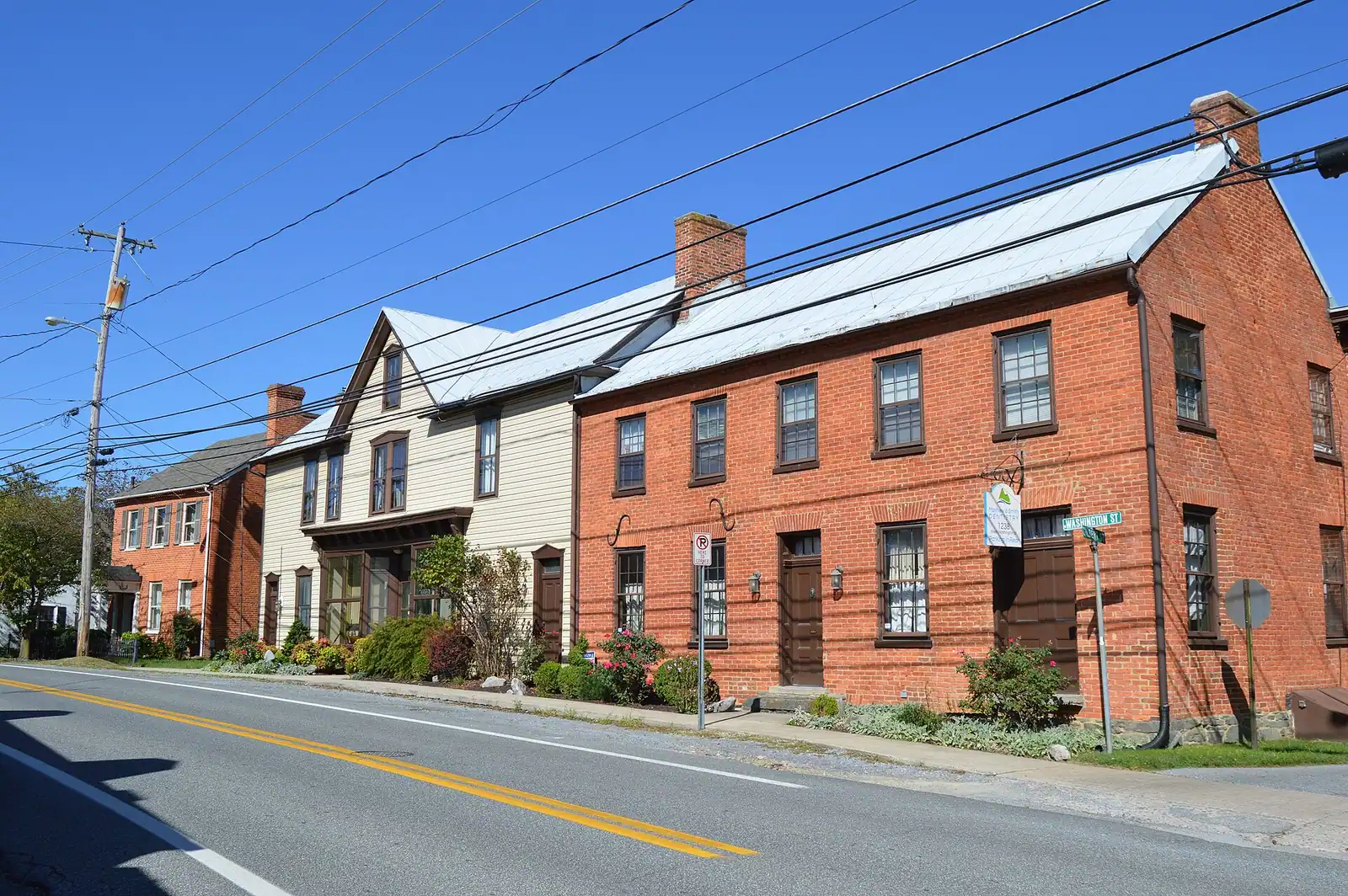
Walk up out of the lower town, past Camp Hill, and at some point without any signal you cross into a different municipality. Bolivar is not a neighbourhood of Harpers Ferry. It is its own incorporated town, laid out in 1797, incorporated in 1825 and again in 1877, named after Simón Bolívar, and with 1,036 residents at the 2020 census it is close to four times the size of the famous place below it.

Visitors almost never notice the boundary, and almost all of them end up here anyway, because this is where the useful things are. The lower town is a national historical park with a handful of shops in leased buildings. Bolivar has the inns, the bed and breakfasts, the rentals, most of the restaurants that keep evening hours, the outfitter offices, and the people. If you have booked accommodation in "Harpers Ferry", there is a good chance it is actually in Bolivar.

Washington Street is the spine, running along the ridge, and it carries something unusual for a residential street in a town of a thousand people: the Appalachian Trail. Northbound hikers coming up out of the gap walk this pavement, past houses and parked cars and a hardware shop, which is one of the more incongruous stretches of the whole trail and a large part of why Harpers Ferry and Bolivar were jointly designated an Appalachian Trail Community.

Two practical reasons to come up even if you are not sleeping here. Food, because the lower town closes with the park and Bolivar does not. And Bolivar Heights, the flat, open Civil War ridge with its own trailhead parking at the end of Whitman Avenue, which gives you a wide view over the gap for a ten-minute walk and almost none of the crowd.

It is not a pretty town in the way the lower town is pretty. It is a working one, which is the point.
Getting there and parking

On foot from the lower town: up High Street, onto the stone steps, past Jefferson Rock and across Camp Hill, then on into Bolivar. Twenty minutes or so, and a genuine climb.

By car, Bolivar sits on Washington Street along the ridge, reached from US 340. Ordinary street parking applies, which after the lower town feels like a luxury. The Bolivar Heights trailhead has its own parking at the end of Whitman Avenue, with portable restrooms and no drinking water.

The park shuttle does not serve Bolivar. It runs between the visitor center on Cavalier Heights and the lower town only, so staying up here means walking or driving.

The visitor center at 171 Shoreline Drive is a few minutes away by car and is still where you should leave the vehicle before going down the hill.

Two towns, one hill

The relationship is unusual enough to be worth understanding, because it explains several things that otherwise look odd.

Harpers Ferry proper is tiny: 269 people at the 2020 census, most of the land inside its boundary owned by the National Park Service, and a historic core that is effectively a museum town. Bolivar, immediately uphill, has about four times the population on a similar footprint of under half a square mile, and it is where ordinary life happens.

They share almost everything in practice. The same postcode, the same school run, the same fire cover, the same Appalachian Trail Community designation with the Appalachian Trail Conservancy. Residents refer to the whole hill loosely as Harpers Ferry. The two municipalities remain separately incorporated.

For a visitor the consequences are concrete. Accommodation advertised as Harpers Ferry is frequently in Bolivar. The walk between them is ten to twenty minutes and mostly uphill on the way back. The park shuttle serves the visitor center and the lower town, not Bolivar, so if you are staying up here you will be walking or driving.

And the parking rules that make the lower town impossible do not apply. Bolivar is a normal town with normal streets, which after a morning of park logistics feels like a considerable relief.

The Appalachian Trail down the middle of a residential street

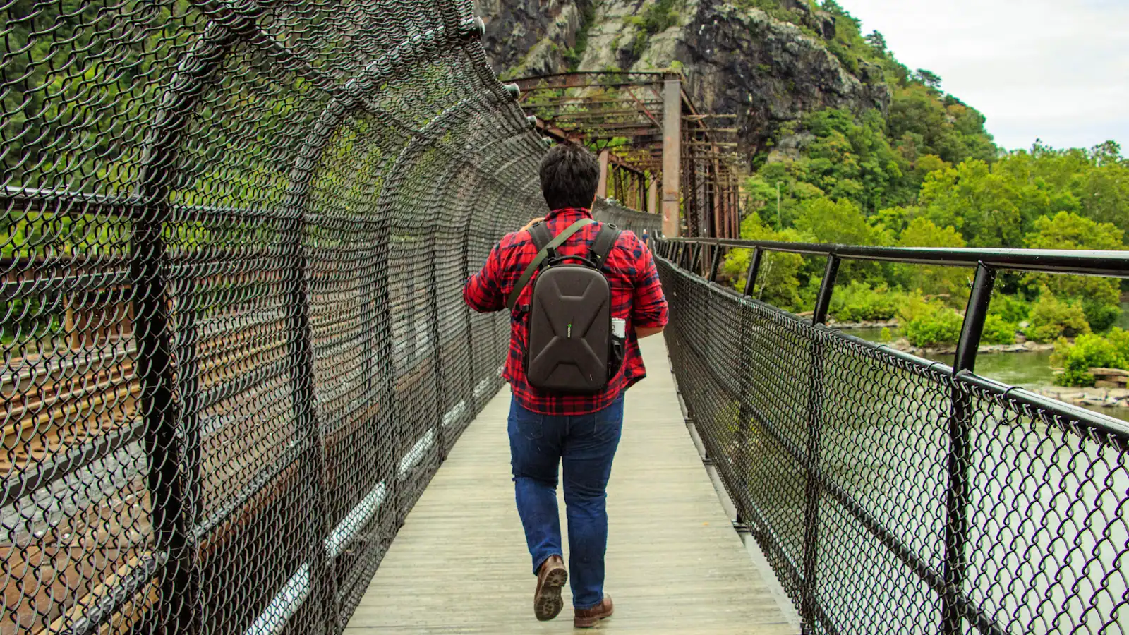
The Appalachian Trail comes into the gap over the footbridge, works up through the lower town and the Camp Hill path, and then does something it does almost nowhere else on its 2,000-odd miles: it walks along a pavement past people's front gardens.

Washington Street carries the white blazes through Bolivar. Hikers with full packs pass parked cars, a hardware shop and somebody watering a lawn. In April and May, when the northbound bubble comes through, there is a steady trickle of them all day, and the town is used to it in a way that a town does not have to be.

The Appalachian Trail Conservancy's headquarters and visitor centre sit on Washington Street, which is the other half of the explanation. Thru-hikers stop to be photographed there, and the photograph is the tradition: an archive of hikers taken over decades, and the closest thing the trail has to a register.

Harpers Ferry is the trail's psychological midpoint, and the distinction matters to the people carrying the packs. The measured halfway point is further north, in Pennsylvania near Pine Grove Furnace State Park. Congratulate a hiker on reaching the halfway mark here and they will correct you. Ask them how the first thousand miles went and you will get a better conversation.

Give way on the pavement. They have earned it.

Where the beds and the kitchens are

The single most useful thing Bolivar does for a visitor is stay open after the park shuts.

The lower town's museums close at five. The last shuttle up the hill leaves at seven under daylight saving time and half past five under standard time. High Street's handful of kitchens keep the hours a town of 269 people can support, and several cut back to weekends in winter. Bolivar has more choice and more consistency, and it is a ten to fifteen minute walk from the top of Camp Hill.

On accommodation, three honest points.

  • Supply is small. Between the two towns there are inns, bed and breakfasts and short-term rentals, and that is it. No large hotel.
  • October goes early. Peak colour and the Civil War anniversaries land in the same weeks, and rooms on the hill are booked months out.
  • Charles Town is the overflow, eight miles west, with chain hotels and actual capacity. Frederick, Maryland, twenty miles north, is the other option and has a proper restaurant scene.

We are not naming individual businesses or quoting rates, because in a town this size that information ages badly and a visitor who plans dinner around a stale listing ends up in the car to Charles Town anyway.

Bolivar Heights: the flat view, from here

The best-kept practical secret in the area is at the end of Whitman Avenue.

Bolivar Heights is the ridge on the neck of land behind the town, and in September 1862 Confederate artillery positioned on it and on the two heights across the rivers forced the surrender of a Union garrison of roughly 12,500 men, commonly cited as the largest surrender of United States troops until Bataan in 1942. Antietam was fought two days later, and the men who took this ridge marched north to it.

What makes it useful today is the shape of the ground. It is open, it is broadly level, it has its own trailhead parking with portable restrooms and no drinking water, and a short walk from the car gives you a wide view down over the gap, the rivers and the heights beyond. No steps, no switchbacks, no queue.

That combination matters in two situations. If someone in your group cannot manage the climbs, this is the landscape view they can have. And on an October Saturday when the visitor center lot has filled and the Maryland Heights overlook is queuing for the rock, this is where to go instead.

Go in the last hour of light. Interpretive panels and gun positions explain the September 1862 siege from the ground it was conducted on, which is rarer than it sounds.

Near Bolivar

Straight-line distances, so allow more on the road — the island is long and has one main parkway.

  • A whitewashed stone-walled house on a steep bank, its garden held up by a dry stone retaining wall

    Historic site

    Free

    Bolivar Heights

    Flat, open and five minutes from the car park: the battlefield where a Union garrison of 12,500 surrendered in two days.

    1–1.5 hoursNo separate charge; covered by the park entrance fee, which is valid three consecutive days0.4 mi away

  • A walker crossing a river footbridge with a pack on their back, the far bank thick with trees

    Museum

    Free

    Appalachian Trail Conservancy Visitor Center

    Where thru-hikers get photographed and numbered, in albums going back decades — and where the midpoint myth gets corrected.

    0.5–1 hoursFree to enter; the Conservancy is a non-profit and donations are welcomed0.5 mi away

  • A whitewashed stone-walled house standing on a steep bank above a dry stone retaining wall

    Neighbourhood

    Camp Hill

    The terrace above the lower town: Storer College, the 1906 Niagara Movement meeting, and the view without the queue.

    1–1.5 hoursIncluded with park entrance; the grounds carry no separate charge0.5 mi away

  • A whitewashed stone-walled house on a steep bank, its garden held up by a dry stone retaining wall

    Historic site

    Free

    Storer College

    A college founded to educate people who had been enslaved, closed in 1955 by the consequences of a civil rights victory.

    0.5–1.5 hoursFree; covered by the park entrance fee charged on your vehicle0.6 mi away

Bolivar: common questions

Is Bolivar part of Harpers Ferry?

No. Bolivar is a separately incorporated town immediately uphill from Harpers Ferry, laid out in 1797 and named after Simón Bolívar. It had 1,036 residents at the 2020 census against Harpers Ferry's 269, which makes it close to four times the size. The two share a postcode, a school run and an Appalachian Trail Community designation, and most visitors cross the boundary without noticing, but they remain separate municipalities.

Where do you eat near Harpers Ferry in the evening?

Usually in Bolivar, up the hill. The lower town's museums close at five, the last shuttle leaves at seven in summer and half past five in winter, and High Street's few kitchens keep the hours a town of 269 people can sustain, with several cutting back to weekends in winter. Bolivar has more choice and more consistency and is a ten to fifteen minute walk from Camp Hill. Charles Town, eight miles west, is the fallback.

Does the Appalachian Trail go through Bolivar?

Yes, along Washington Street, which is one of the odder stretches of the whole trail: hikers with full packs walking a residential pavement past parked cars and front gardens. The Appalachian Trail Conservancy's headquarters is on that street and photographs thru-hikers who stop in. Harpers Ferry is the trail's psychological midpoint rather than its measured one, which falls further north in Pennsylvania near Pine Grove Furnace State Park.

Where do you stay when visiting Harpers Ferry?

Mostly in Bolivar, whatever the listing says. Between the two towns there are inns, bed and breakfasts and short-term rentals and no large hotel, so supply is small and October books out months ahead as peak colour and the Civil War anniversaries land together. Charles Town, eight miles west, has chain hotels and real capacity. Frederick, Maryland, twenty miles north, is the other option and has a broader restaurant scene.