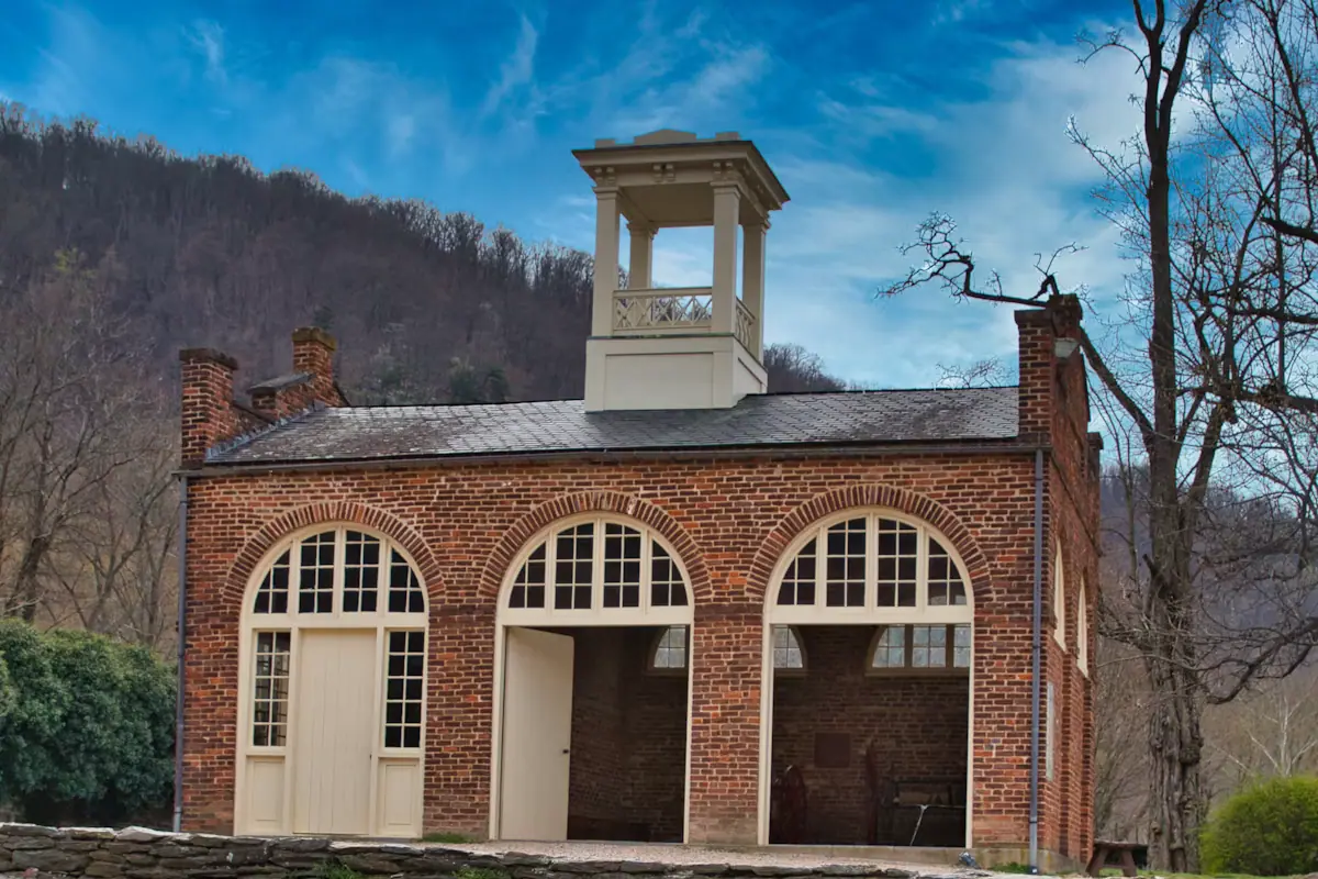
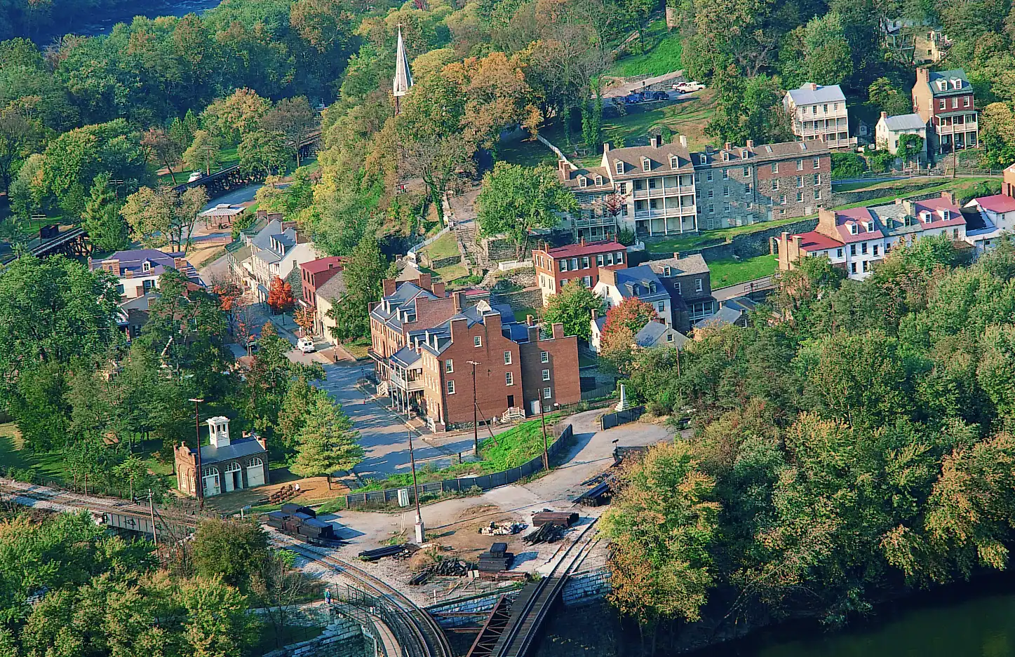
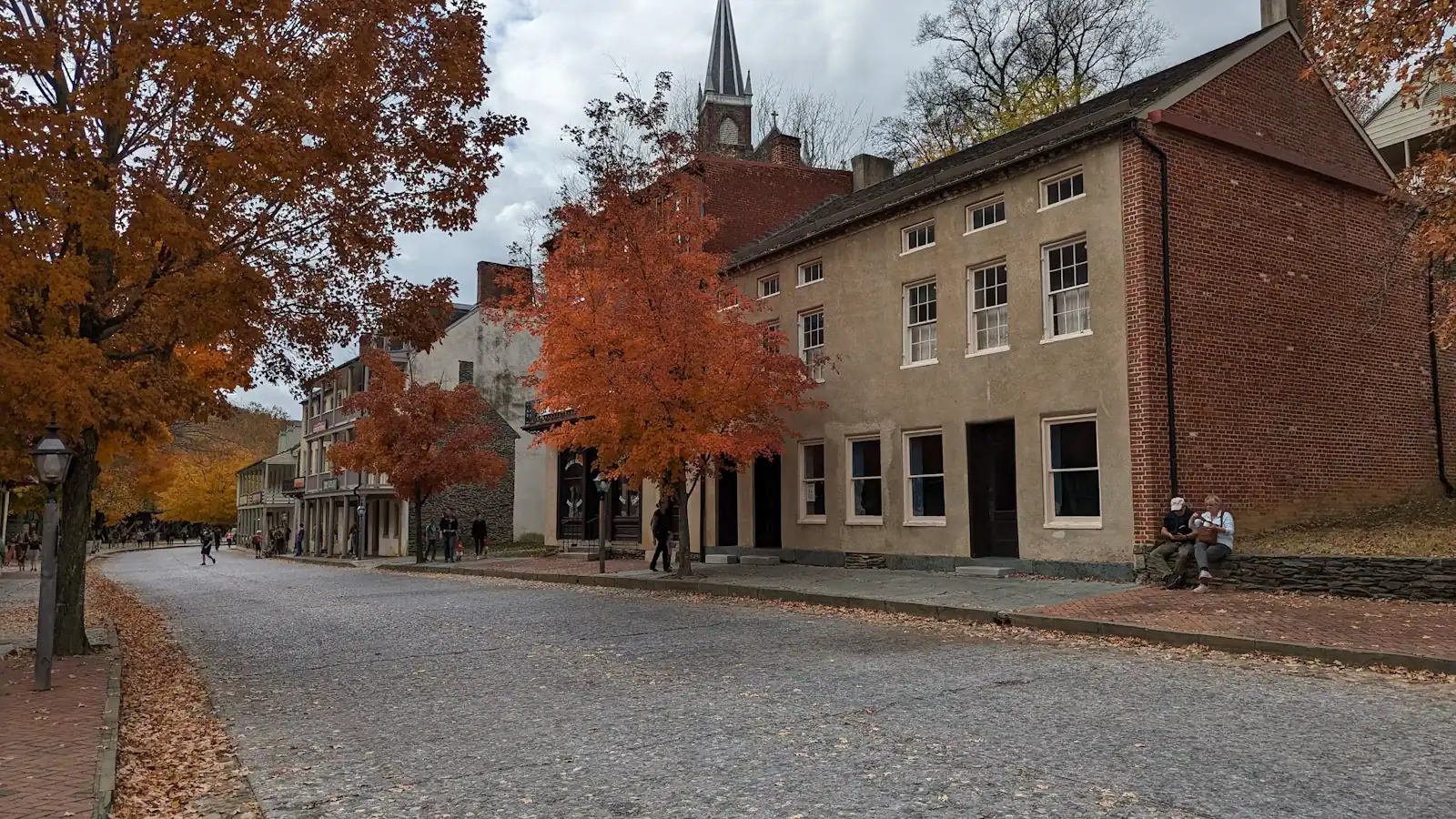
Two hundred and sixty-nine people lived here at the 2020 census. That number is the key to the whole day. Harpers Ferry is not a town with a national park attached; it is a national historical park with a few streets of residents inside it, which is why the things worth doing are concentrated, cheap, mostly outdoors, and governed by a bus timetable rather than by opening hours.
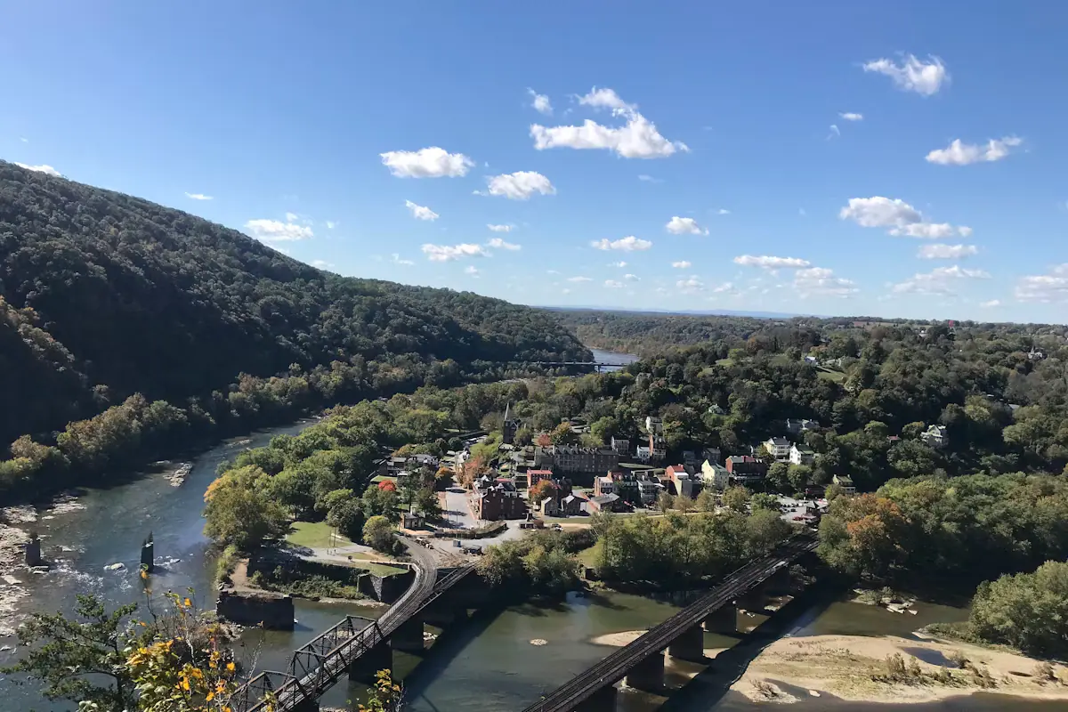
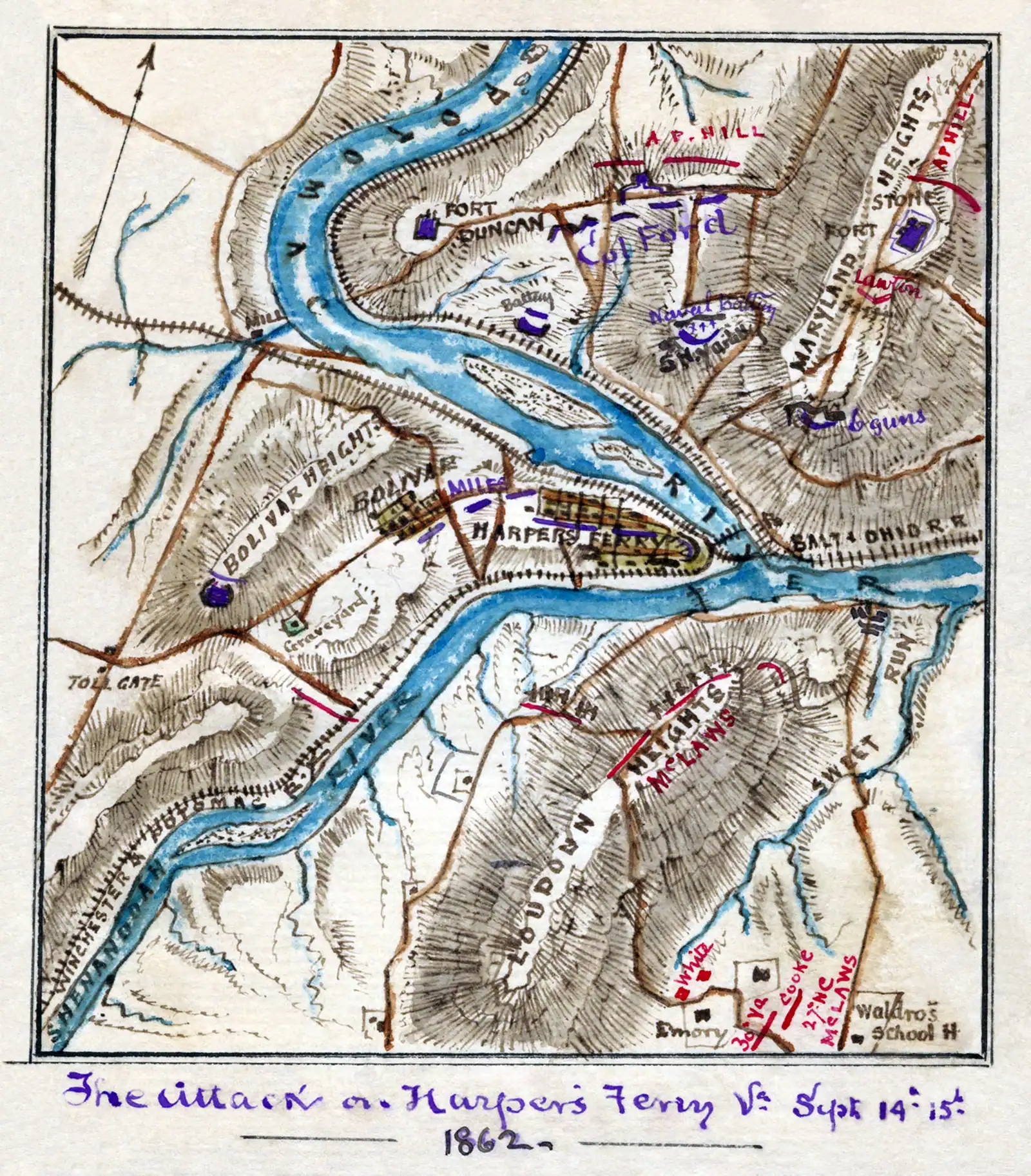
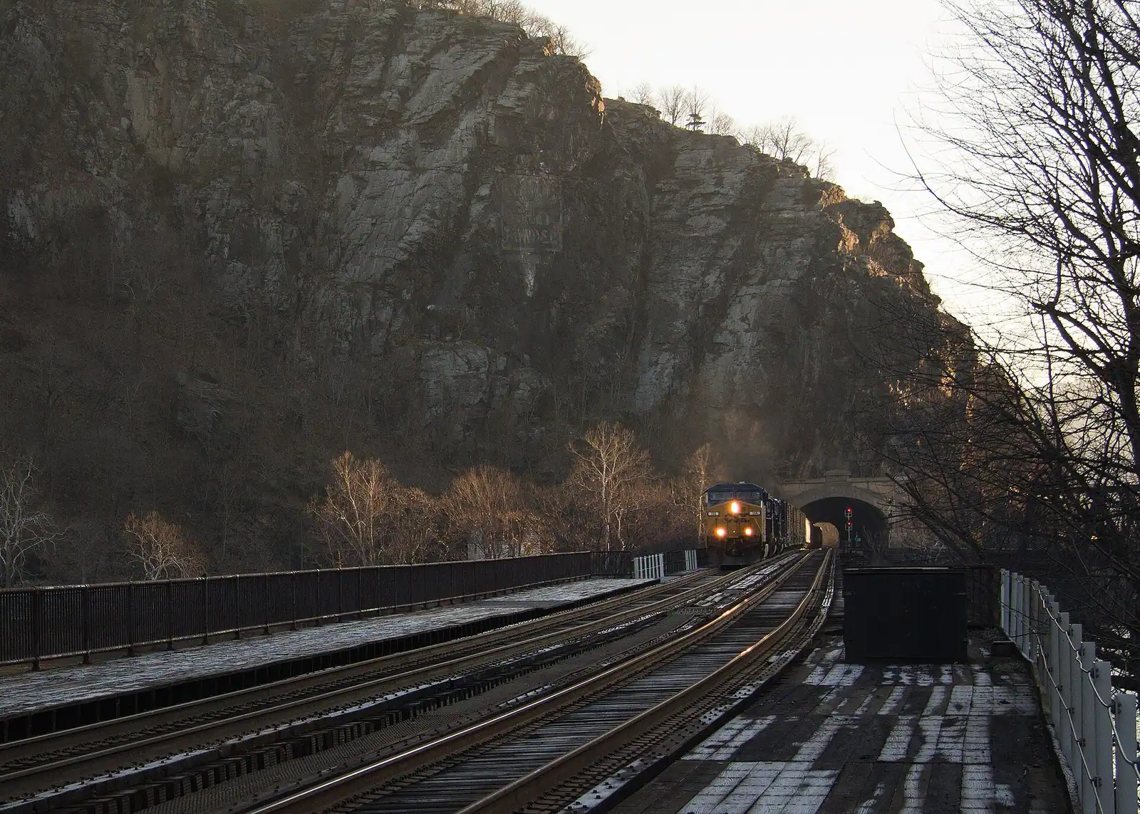
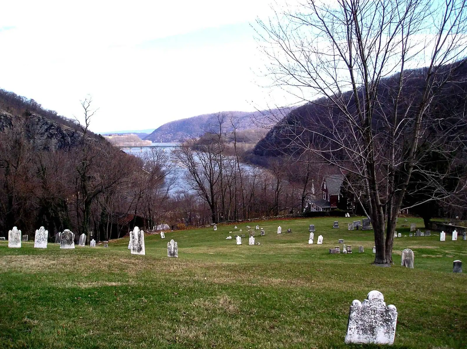
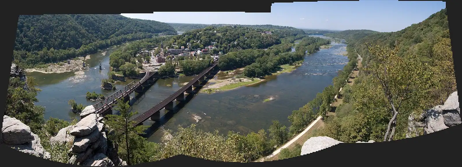
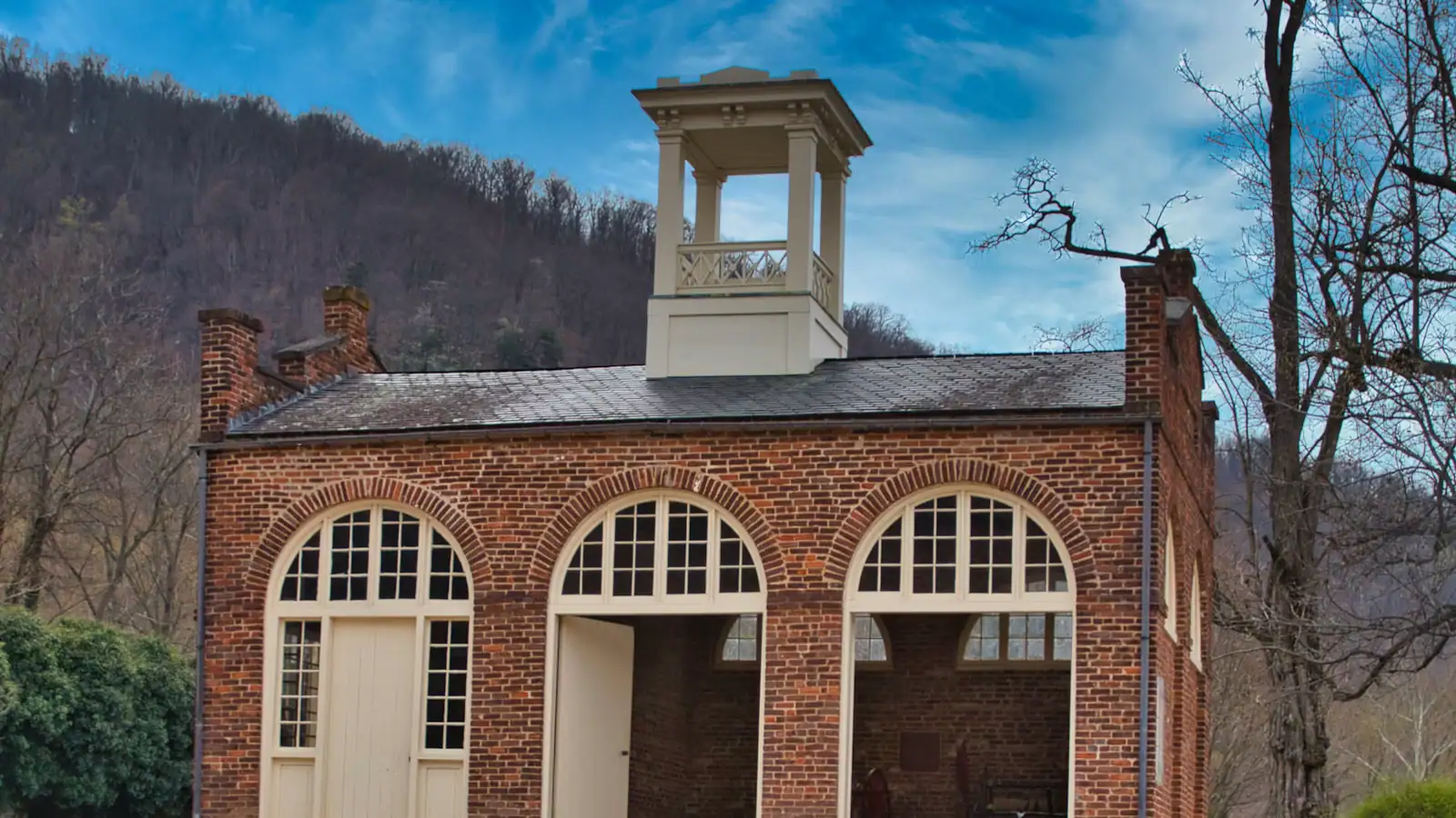
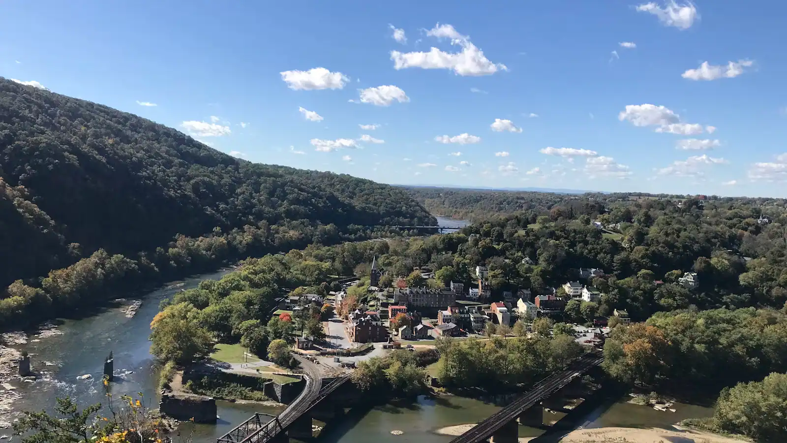
Everything sits in a bowl at about 509 feet where the Shenandoah runs into the Potomac, with ridges on three sides and three states meeting at the water. That geography wrote the history — a federal armoury on reliable water power, an armoury raid in October 1859, four years of a war in which the town changed hands again and again — and it still writes your itinerary. Nothing here is far. Almost nothing here is flat.
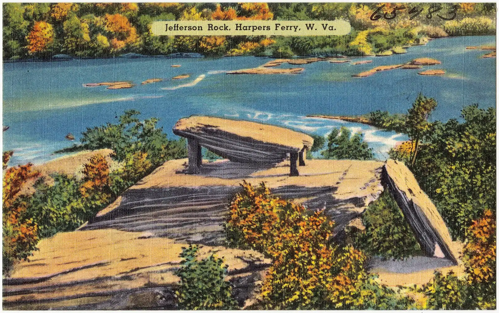
So the useful question is not what to see but in what order. The answer, worked out over enough visits to be confident about it, runs like this. Climb first, while the air in the bowl is still cool and the overlook is not queuing. Take the lower town in the middle of the day, when the exhibit buildings are open and their ceilings are the only shade. Walk up the stone steps in the afternoon. Keep the last hour of light for Jefferson Rock or the Camp Hill path, where the view runs straight down the Shenandoah gorge and the crowds have gone to find dinner.
Two mechanical facts sit under that plan. The first is the shuttle: you park up on Cavalier Heights and ride down, because the lower town has essentially nowhere to leave a car, and the last bus back leaves at seven in the evening on daylight saving time and half past five in winter. The second is that the exhibit buildings work office hours, nine to five, while the trails run from half an hour before sunrise to half an hour after sunset. Indoor Harpers Ferry and outdoor Harpers Ferry keep different clocks, and the gap between them is where a badly ordered day goes wrong.
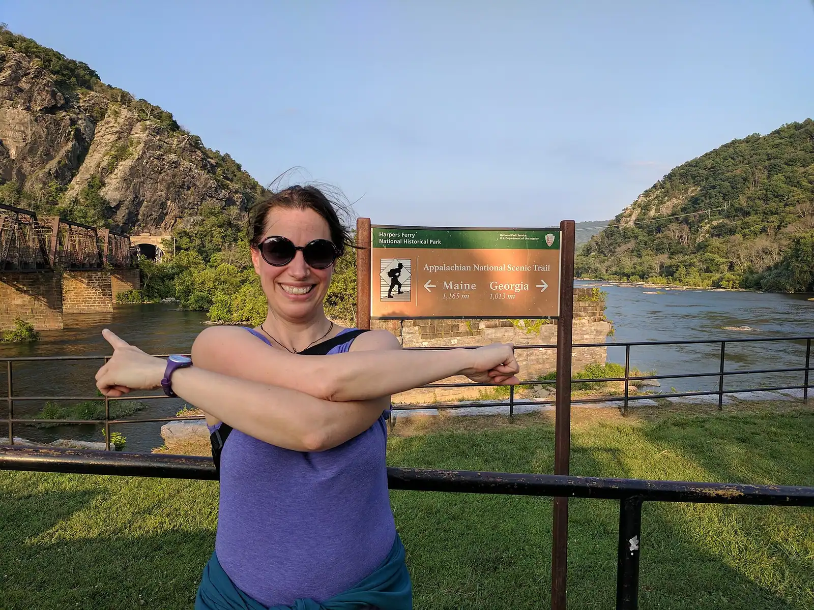
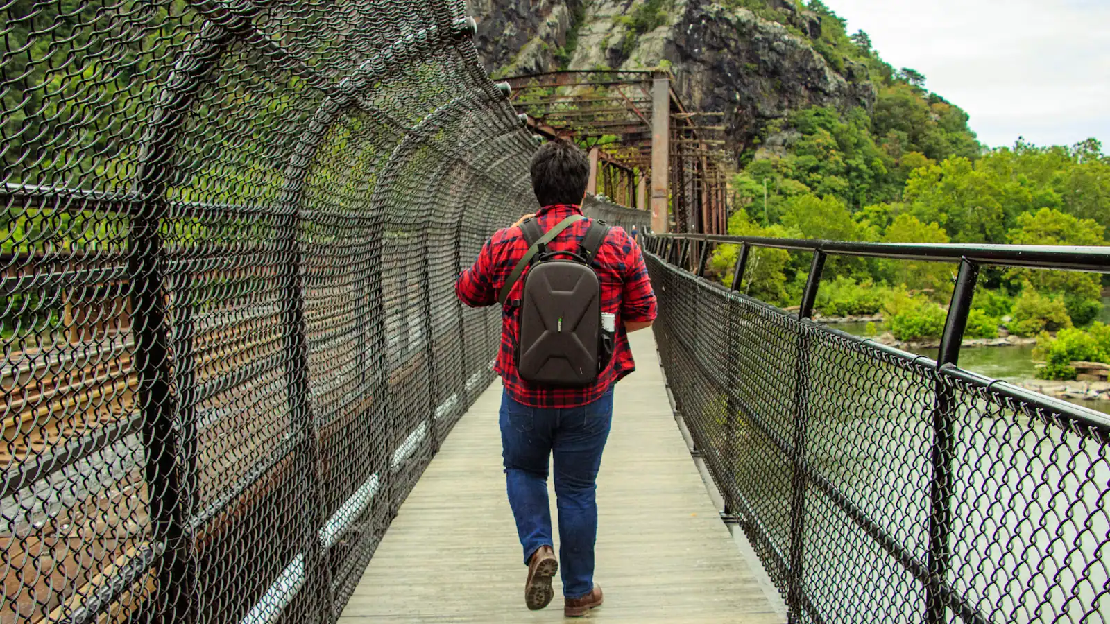
One honest caveat before you build anything around the classic photograph. The footbridge over the Potomac — the one carrying the Appalachian Trail across to the towpath and the Maryland Heights trailhead — was listed by the park as closed from 27 July 2026 while an improved stairway is built, with no reopening date published. The park says the trail itself is open but access is challenging, and suggests other walks. Check the current conditions page before you plan the climb, and have Bolivar Heights or Loudoun Heights in reserve.
What follows is the whole list, ordered and honestly labelled by effort. Some of it is a serious afternoon of history. Some of it is a rope swing and a river in July. The pages underneath go deeper on each.