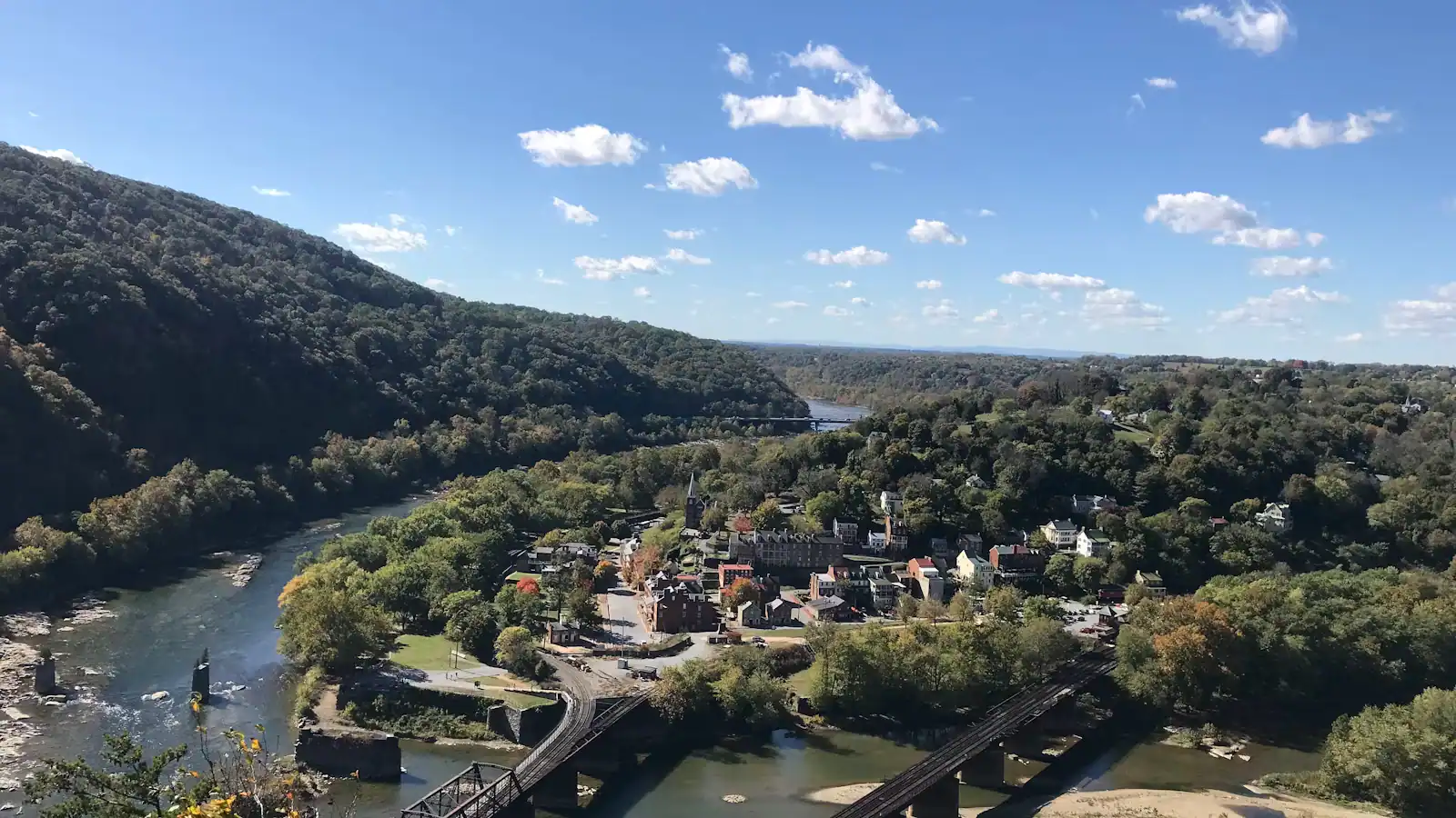
Every picture of Harpers Ferry taken from above — the town on its spit of land, two rivers folding together, the ridges running away east — was taken from a rock ledge on Maryland Heights. It is the reason a lot of people come. It is also a proper climb, and the gap between those two facts is where the trouble starts.
The park's own figures: 4.5 to 6.5 miles round trip depending on which branches you take, between 990 and 1,788 feet of elevation gain, rated moderately strenuous to strenuous, three to four hours. There is no drinking water on the trail and no toilet on it either. People set off at two in the afternoon in trainers carrying nothing, having decided over lunch that they fancy a walk.
The two destinations, which are not the same place
This is the thing most guides skip. Maryland Heights has two things worth climbing for and they are on different branches of the trail.
| The Overlook | The stone fort and batteries | |
|---|---|---|
| Round trip | about 4.5 miles | about 6.5 miles with the loop |
| Elevation gain | around 990 feet | up to about 1,788 feet |
| Time | 2.5 to 3.5 hours | 3.5 to 4.5 hours |
| What you get | the cliff ledge and the classic view down onto the confluence | Civil War earthworks, gun emplacements and a stone fort on the summit ridge |
| Underfoot | steady climbing, rocky in the upper half | as above plus a steep descent through boulders |
| Who it suits | almost everyone who is fit enough for the gain | people who came for 1862 rather than for the photograph |
Most visitors take the overlook branch, get the picture and go down. That is a perfectly good day. But the fortifications are the reason the hill matters: on 13 September 1862, Confederate brigades under Kershaw and Barksdale pushed the Union defenders off this ridge, and once the guns were up here the garrison below had no answer. Twelve thousand Federal troops surrendered two days later — the largest surrender of United States forces in the war. The earthworks and the gun positions on the summit are what that was fought over.
If you have the legs, do both. If you have to choose, choose by what you came for rather than by the distance.
Getting to the start
Do not go looking for trailhead parking. There is no useful visitor parking on the Maryland side that solves this problem, and the park directs hikers to the main lot at the visitor centre, 171 Shoreline Drive, and the free shuttle into the lower town.
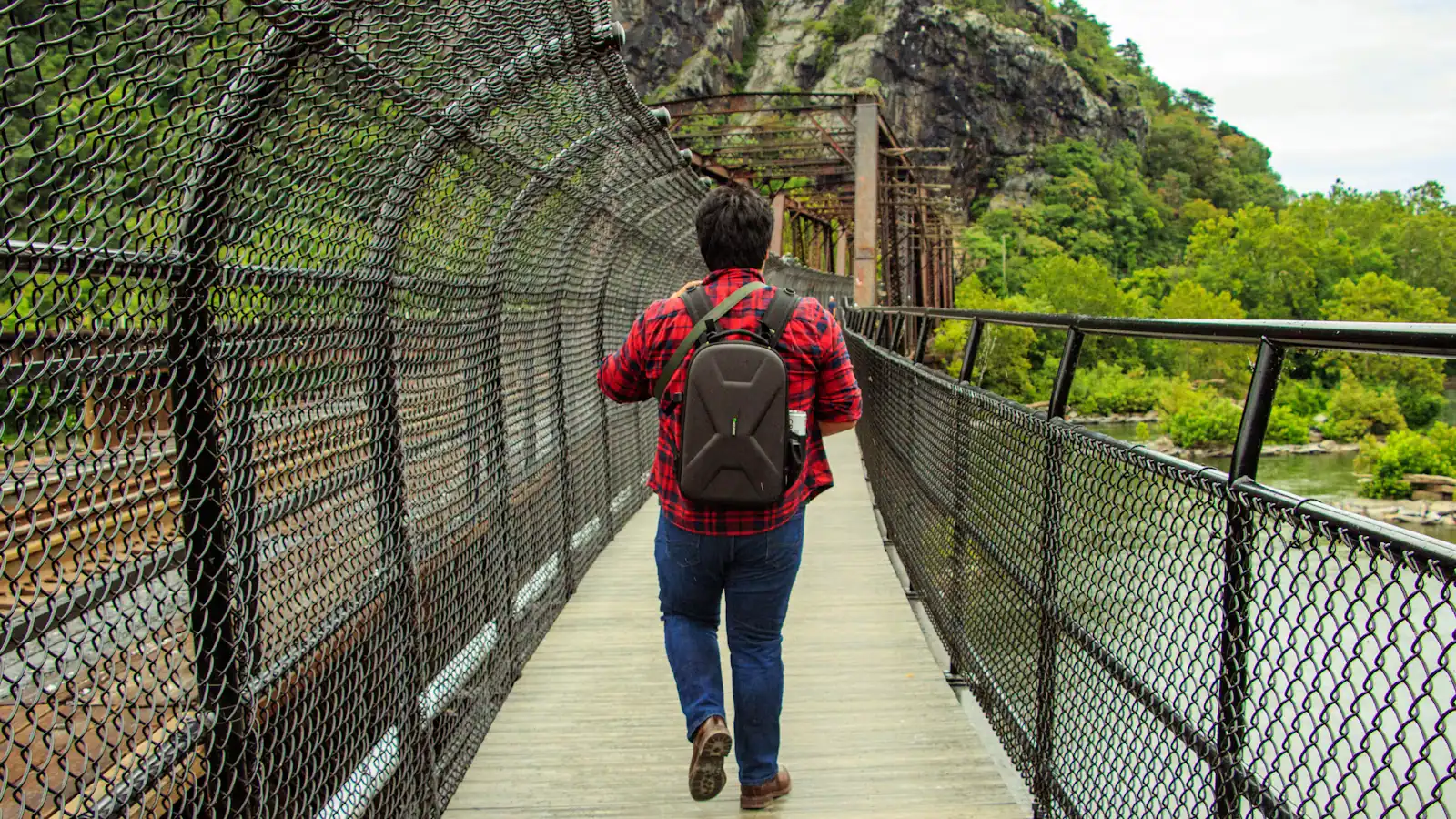
From there the route begins by the Master Armorer's House on Shenandoah Street. You walk east through the lower town, out along the Potomac, up the steps to the footbridge that carries the Appalachian Trail across the river, and drop onto the C&O Canal towpath on the Maryland bank. The signed Maryland Heights trailhead is a short walk along the towpath from the bridge, across the road. Follow the signs rather than a memory of somebody's blog — the junction arrangements change with maintenance work, and the stair access to the footbridge has been under improvement.
Add twenty to thirty minutes each way for this approach. It is not in the 4.5-mile figure in most people's heads, but it is in the park's.
What the climb is actually like
The first stretch after the road is the steepest sustained section and it comes before you are warm. It switchbacks up through mixed hardwood on an old road bed, rocky and loose in places, with no view to distract you. This is where groups discover their real pace.
The overlook branch
Higher up the gradient eases and the trail runs along the flank of the ridge. The junction for the overlook branch is signed. The overlook itself is a bare shelf of rock with a long drop off the front, no railing, and the view that you came for. It gets crowded at midday on an October weekend, people queue informally for the front of the ledge, and the rock is smooth and slopes toward the edge. Take the photograph from three feet back.
The fort loop
The summit branch keeps climbing to the earthworks and the stone fort, through ground that is quieter and, honestly, less dramatic to look at. The loop down from it is the section the park describes as a steep descent through boulder-strewn terrain, and it is the part of the day where ankles go.
Timing, which is the whole discipline
The trail is open during daylight hours and closed from sunset to sunrise. That is not advisory; there is no lighting, the upper trail is rocky, and the descent in the dark is genuinely dangerous.
The harder deadline is the bus. The last shuttle from the lower town back to the visitor centre leaves at 7 p.m. under daylight saving time and 5.30 p.m. once the clocks go back. Work backwards from that, not from sunset.
- Start no later than four hours before the last bus for the overlook route.
- Five hours if you intend to add the fort loop.
- Coming off the hill in November, that means starting by half past twelve. In November people start at two because it is light and mild, and finish the last mile in the dark with the bus gone.
What to carry
- Two litres of water per person in summer. There is none on the trail, none at the top and none on the towpath. This is the single most common mistake on this hill.
- Shoes with a proper sole. The upper trail is rock and the descent is loose.
- A head torch, even for an afternoon walk, and especially between October and March.
- Layers. The ridge is exposed and windier than the town, which sits in a sheltered bowl.
- No dog on the shuttle. Pets are not allowed on the bus, which affects how you reach the trailhead in the first place.
Who should not do this
There is no shame in the answer being you.
It is not suitable for a pushchair, and it is not a carrier-and-toddler walk unless you do this sort of thing regularly. Children who walk well manage the overlook route from around eight or nine, slowly, with plenty of water. Anyone with knee trouble should think hard about the descent rather than the ascent, because that is where it will hurt.
If you want the elevated view without the climb, Bolivar Heights has its own trailhead parking at the end of Whitman Avenue and gives you an open ridge, the 1862 surrender ground and a long view west up the valley for a fraction of the effort. It is not the same photograph. It is a real substitute rather than a consolation prize, and it is where the siege ended.
Weather, and when to skip it
Wet rock is the issue, not rain itself. The upper trail is rocky and the overlook ledge is smooth, sloping shale with a long drop and no barrier. After rain it is slick, and in freezing conditions the shaded upper sections hold ice long after the town is clear.
Summer brings a different problem. The gorge holds heat, the climb is largely under canopy with no breeze, and the humidity in July and August is serious. Heat exhaustion on this hill is a real and regular event. Go at eight in the morning or not at all.
Thunderstorms build fast over these ridges on summer afternoons. The overlook is an exposed rock shelf on a high point, which is the wrong place to be. If you can hear thunder, turn round.
Check at the visitor centre desk before you set off. Sections close for maintenance and for storm damage, and the park posts current conditions there rather than anywhere you can read from the car.
Three other ways to get height
Bolivar Heights. Trailhead parking at the end of Whitman Avenue, portable toilets, no water. Open ridge, gentle walking, interpretive panels on the September 1862 siege, and a long view west. Under an hour if you want it to be.
Loudoun Heights. Across the Shenandoah on the Virginia side, reached by the Appalachian Trail. Similar effort to Maryland Heights, far fewer people, and a different angle on the town. The views are more intermittent because the canopy is thicker.
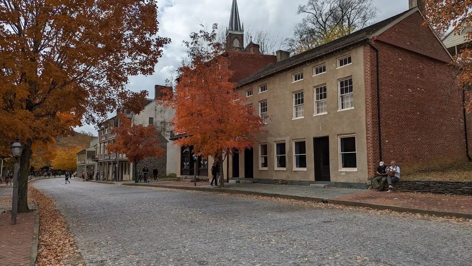
Jefferson Rock. Fifteen or twenty minutes up the 1810 stone steps from the lower town, and the only one of the four you can do in ordinary shoes. You are looking along the Shenandoah rather than down on the confluence, and Jefferson wrote about this view in 1783, which is a reasonable endorsement.
If daylight is short and you can only do one thing with a view, do Jefferson Rock and spend the saved hours in the lower town.
Last updated
Opening hours, ordinances and prices move with the season. We re-check this guide rather than rewrite it, and the date above is the last time someone did. How we research and correct.