Viewpoint
Free
The Point
Ninety seconds from the shuttle stop, level the whole way, and the only spot where the town's geography explains itself.
10–30 minutesFree; covered by the park entrance fee already charged on your vehicle640 ft away
A booking made through these earns us a commission from Viator. The price is the same, and the commission had no bearing on what is recommended.
Landmark
Last updated
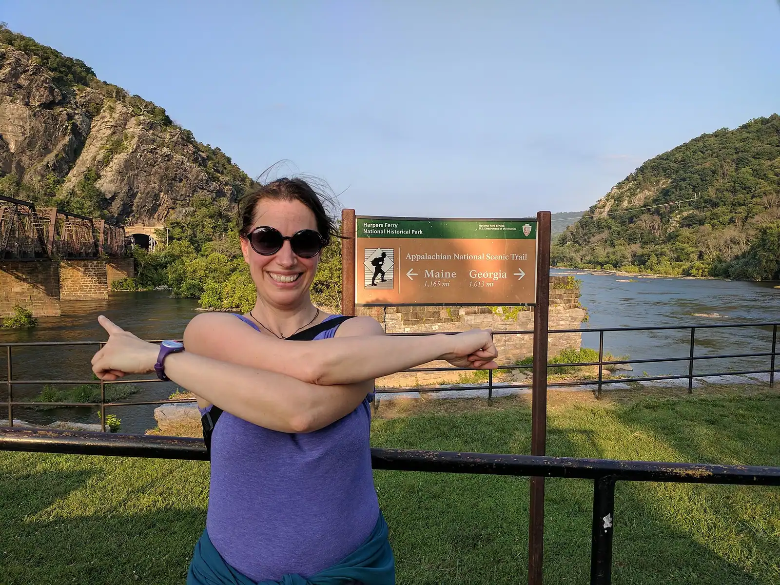
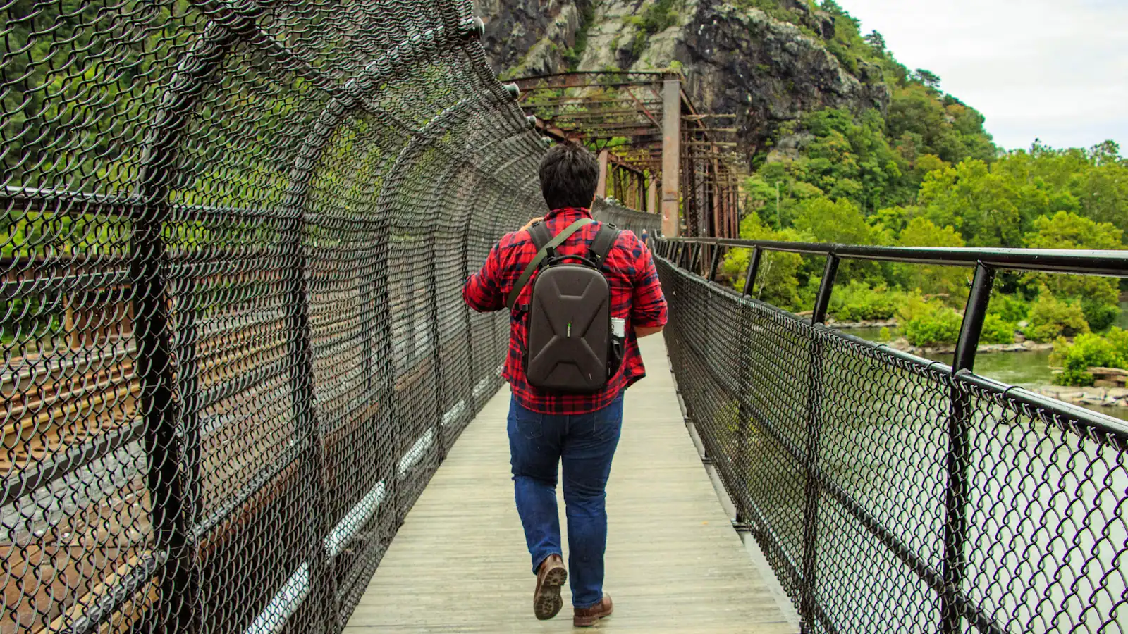
The walkway bolted to a working railroad bridge that carries the Appalachian Trail over the Potomac — closed since July 2026.
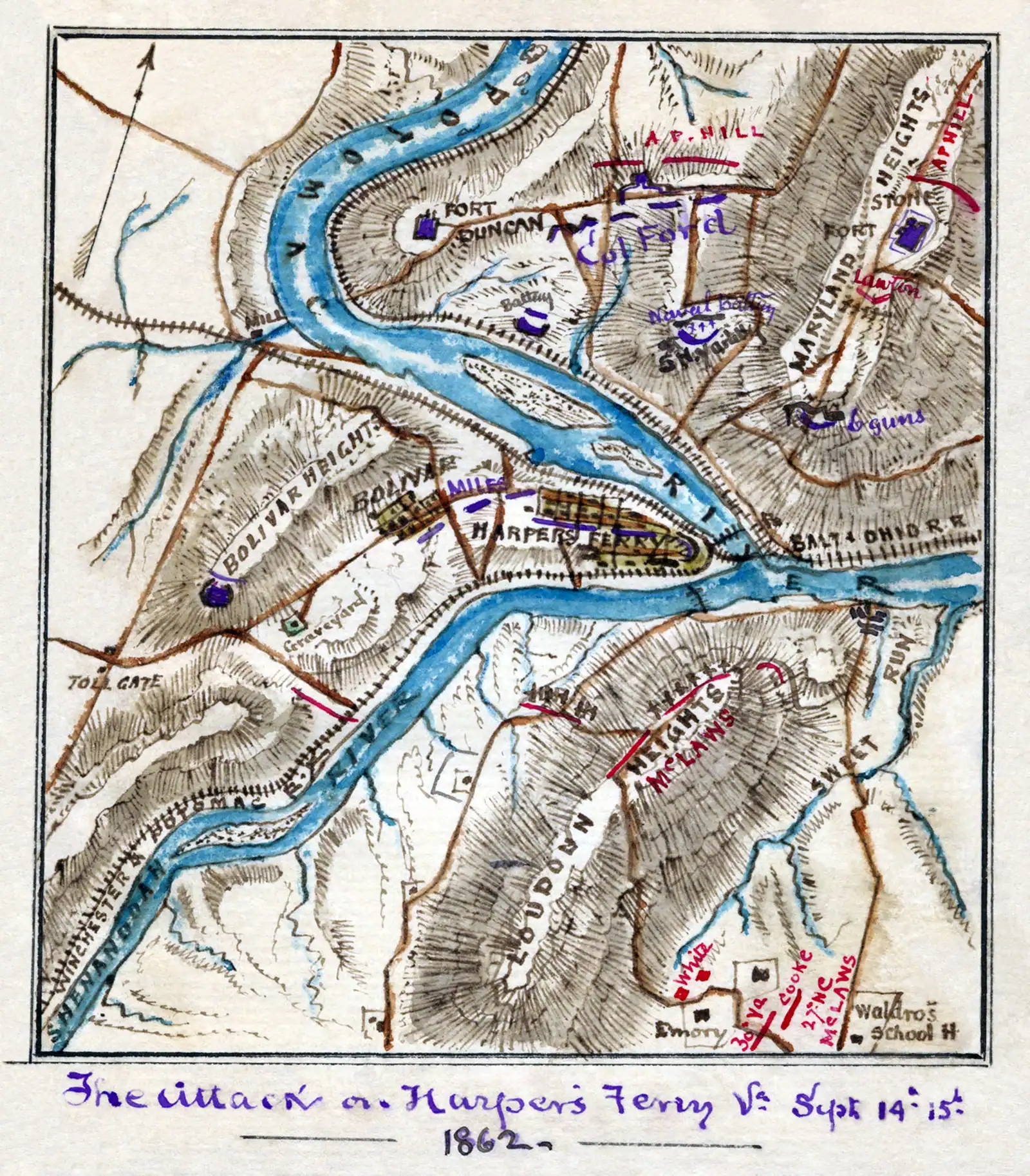
Photo: Robert Knox SnedenPublic domain
Closed since Monday 27 July 2026 for construction work to improve the stairway. The Maryland Heights Trail remains accessible and the park has been advising visitors to consider alternative routes. Check nps.gov/hafe for current conditions before you travel.
It is a narrow steel walkway hung off the side of a railroad bridge, and under ordinary circumstances nobody would think of it as an attraction. It is also the hinge the whole town turns on. The Appalachian Trail uses it to cross the Potomac. Walkers heading for Maryland Heights use it to reach the trailhead. Cyclists use it to get onto the C&O Canal towpath. Anyone who wants to stand over the middle of the Potomac and look back at the confluence uses it. Remove it and a surprising amount of Harpers Ferry stops working.
Which is what has happened. The Goodloe Byron Memorial Footbridge closed on Monday 27 July 2026 for construction work to improve its stairway. The National Park Service reports that the Maryland Heights Trail itself remains accessible and has been advising visitors to consider alternative routes to it. The completion date is not something we are going to guess at, and neither is the detour, because both are exactly the kind of detail that moves during a construction project. Check the park's current conditions page in the week you travel.
What you are missing while it is shut is worth describing, because it is unusual. The bridge runs beside a live railway. Trains cross the Potomac a few feet from the handrail and disappear straight into a tunnel bored through the cliff of Maryland Heights on the far bank, and the whole structure moves when a freight goes over. At the Maryland end a spiral staircase winds down to the towpath, which is elegant to look at and genuinely awkward with a loaded touring bicycle — something worth knowing before you plan a bike day around it.
The bridge is named for Goodloe Byron, the Maryland congressman who pushed for federal protection of the Appalachian Trail and died in 1978. Thru-hikers walking north cross here with roughly a thousand miles behind them, and the crossing is one of the small ceremonies of the trail.
The West Virginia end is at the downstream corner of the lower town, a two-minute walk from The Point and about five minutes from the shuttle stop, past the railway station and up a short ramp.
It has been closed since 27 July 2026 for construction work on its stairway, so plan on looking at it rather than crossing it until the park says otherwise.
When it is open, the crossing takes three or four minutes at a walk, and the far end delivers you to a spiral staircase down to the C&O Canal towpath at roughly mile 61 of its 184.5 miles. Bicycles have to be carried down that staircase, which is why most riders start from the visitor centre side or drive round to a towpath access point instead of trying to bring a bike through the lower town.
The practical consequences, in order of how much they will disrupt a visit.
Maryland Heights. The normal approach is: walk out of the lower town, cross the footbridge, take the spiral staircase down to the towpath, turn upstream, find the trailhead. That route is unavailable. The park says the trail is still accessible and points visitors to alternative routes, which means reaching the Maryland bank another way. Confirm the current arrangement with the park before you drive for this hike.
The C&O Canal towpath. Same problem. The footbridge is how walkers and riders in the lower town get onto the Maryland bank. Towpath access from this point is disrupted.
The Appalachian Trail. Thru-hikers and section hikers are being routed around. If you are walking through, check the Appalachian Trail Conservancy's own notices as well as the park's; they are the people who will have the current detour first.
Everything else in the lower town is unaffected. The Point, John Brown's Fort, Shenandoah Street, High Street, the stone steps, Jefferson Rock, Camp Hill and Bolivar Heights are all on the West Virginia side and none of them depend on this crossing.
We are deliberately not publishing a detour route. A wrong one costs you a morning; the park's page costs you thirty seconds.
The crossing here is really two structures doing one job. The railroad bridge dates from 1894, still carries traffic, and runs from the West Virginia bank straight into a tunnel driven through the rock of Maryland Heights. The footbridge is carried along its flank.
That makes for an experience you do not get on a normal river crossing. There is chain-link and steel between you and the track, but a freight passing at speed a few feet away is loud, physical and slightly alarming the first time. The deck vibrates. People stop mid-span to watch and then pretend they were always going to.
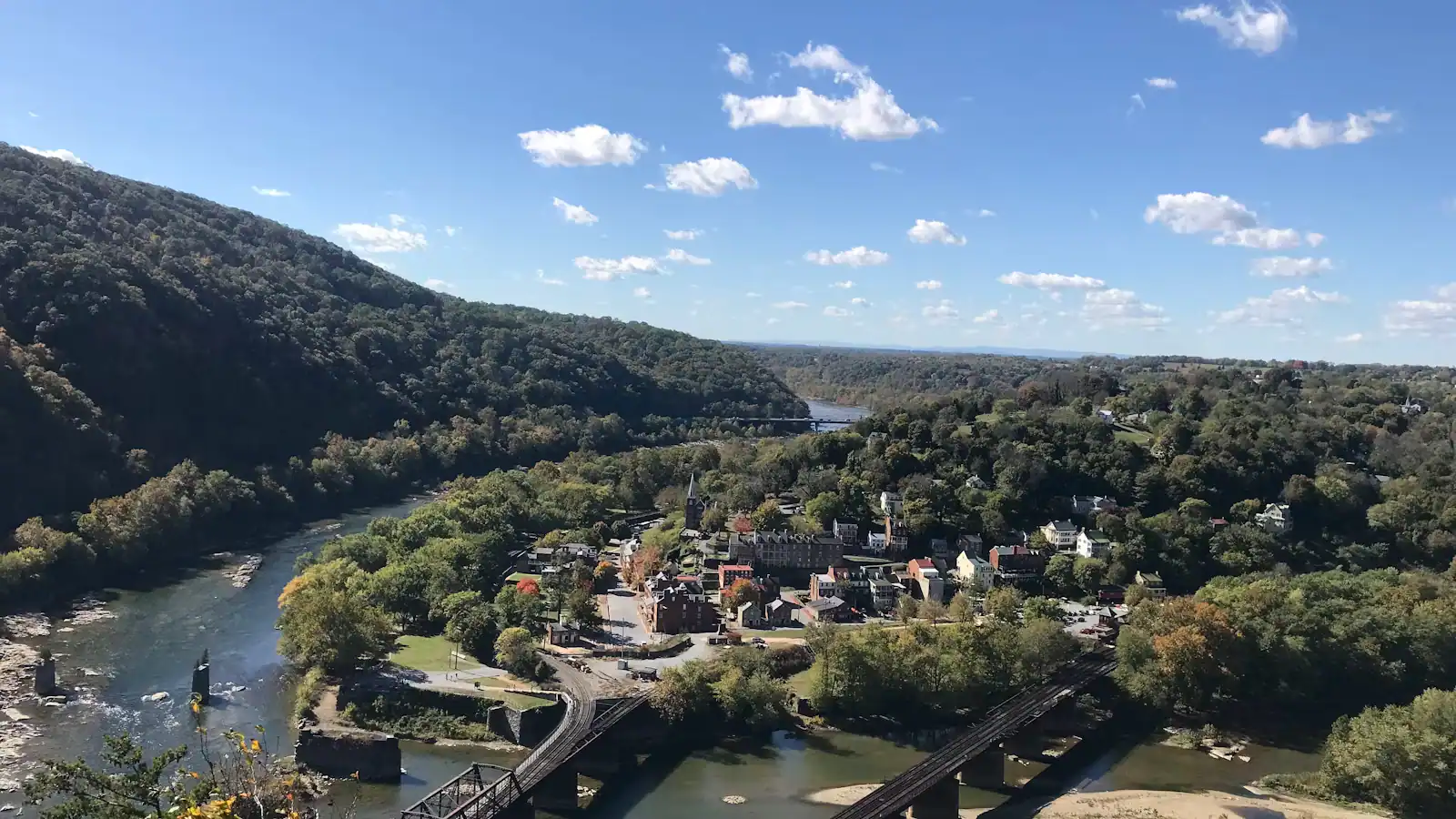
Below, the Potomac runs over ledges toward Washington. Upstream you can see the confluence, the stone piers of the bridges this one replaced, and the wedge of the lower town. It is the best angle on the town available without climbing anything, which is the other reason the closure stings.
At the Maryland end the walkway meets a spiral staircase that drops to towpath level. It is a handsome piece of engineering and a nuisance with anything bulky: a loaded touring bike is difficult and a trailer is effectively impossible. That staircase is what the current construction work is about.
For a northbound thru-hiker this bridge is arithmetic made physical. Harpers Ferry sits roughly a thousand miles from Springer Mountain in Georgia and is the traditional psychological halfway mark of the Appalachian Trail — not the measured midpoint, which lies further north in Pennsylvania and shifts with trail relocations, but the place where the walk stops feeling like a beginning.
The sequence is well established. Walk down High Street, climb to the Appalachian Trail Conservancy headquarters on Washington Street to be photographed and numbered, eat something you have been thinking about for four days, then cross this bridge into Maryland and carry on.
Day visitors who cross in spring get the benefit of that. From late May the bridge and the lower town carry a steady flow of people who have been walking since March, and they are, almost without exception, willing to talk about it.
The trail on the Maryland side follows the flat towpath for about two and a half miles before turning uphill, which after the Shenandoah valley is a genuine gift and is why you will see hikers making unusual speed along the canal.
Straight-line distances, so allow more on the road — the island is long and has one main parkway.
Viewpoint
Ninety seconds from the shuttle stop, level the whole way, and the only spot where the town's geography explains itself.
10–30 minutesFree; covered by the park entrance fee already charged on your vehicle640 ft away
Trail
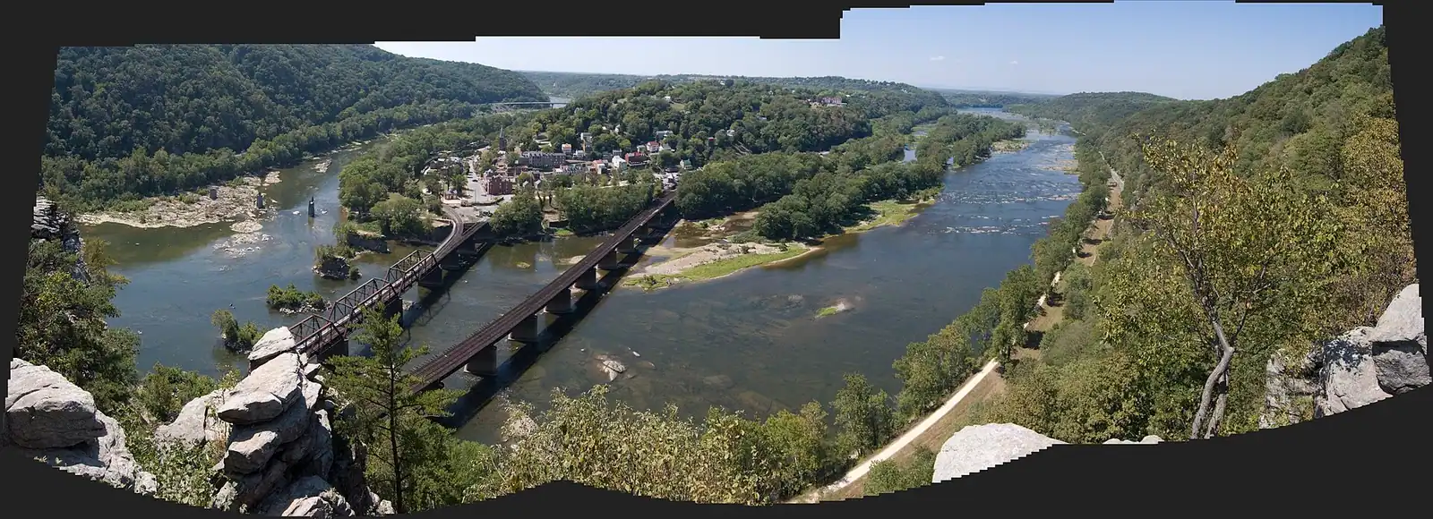
184 miles of level crushed stone on the Maryland bank, reached by a footbridge and an awkward spiral staircase.
1–5 hoursFree. The towpath itself carries no entrance fee740 ft away
Trail
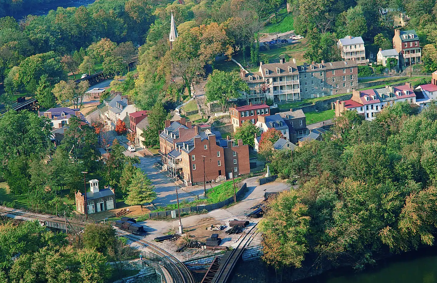
The cliff ledge that produces the photograph everyone has seen of this town, and about a thousand feet of climbing to reach it.
3–5 hoursNo charge for the trail; the park entrance fee applies to your vehicle0.3 mi away
Landmark
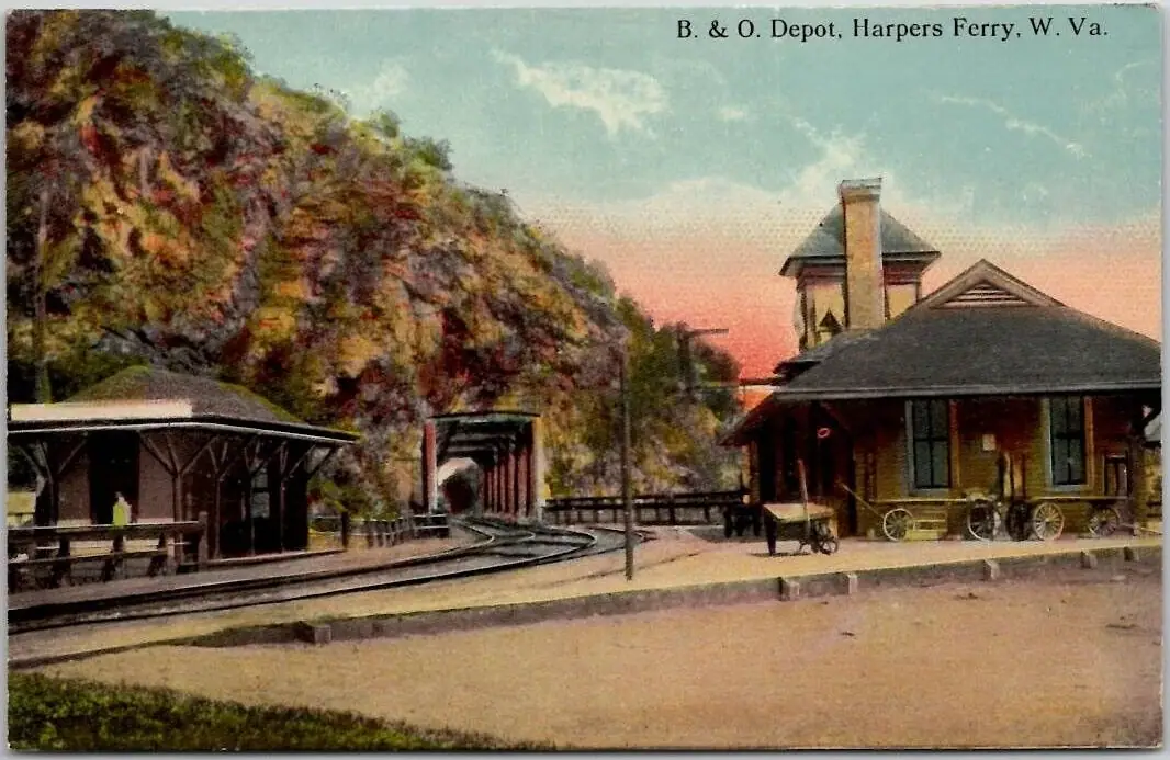
An 1894 B&O station whose platform sits inside the historic district, served by weekday MARC trains and one Amtrak each way.
10–30 minutesFree to visit. Rail fares are charged by MARC and Amtrak separately510 ft away
Where this place fits into a day, and the pages that plan one.

Guide hub
At most national parks the town is outside the gate. Here the town is the park. Harpers Ferry National Historical Park covers roughly 3,660 acres in…
Things to do
The hiking here is entirely a consequence of the geology, and ten minutes understanding that will save you picking the wrong trail. Two rivers cut…
Things to do
Most long-distance trails pass towns. This one goes through the middle of one. The Appalachian Trail comes off Loudoun Heights in Virginia, crosses…
Budget
Harpers Ferry is one of the cheapest good days out in the mid-Atlantic, and it is worth being precise about why, because the word free does two…
Things to do
Start with the correction, because it saves an afternoon. The photograph you have seen of Harpers Ferry — the whole town laid out on its spit of…
Guide
Cobbles, stone steps and a thousand-foot ridge on three sides. The flat walking is across a footbridge reached by stairs. Here is which parts of this actually work with children.
8 min readPrudence Ashby
Guide
The town sits in a bowl with high ground on three sides. You are either on a level towpath or climbing a thousand feet, and there is very little in between. Choose accordingly.
9 min readEmmett Coyle
Guide
The overlook everyone photographs is a thousand feet above the town, with no water on the way up and a descent that is harder than the ascent. Know the numbers before you start.
9 min readEmmett Coyle
No. The Goodloe Byron Memorial Footbridge closed on Monday 27 July 2026 for construction work to improve its stairway, and it was still listed as closed in late September 2026. The Maryland Heights Trail remains accessible, but the usual walking approach across this bridge does not, and the park has been advising visitors to consider alternative routes. Check the current conditions page at nps.gov/hafe in the week you travel, because construction timelines move.
On a steel walkway carried along the side of the railroad bridge at the downstream end of the lower town, named the Goodloe Byron Memorial Footbridge after the Maryland congressman who campaigned for federal protection of the trail. Trains pass a few feet away on the adjacent track and run straight into a tunnel through the cliff of Maryland Heights. A spiral staircase at the far end drops walkers onto the C&O Canal towpath.
When it is open, you can walk a bike across, but the spiral staircase at the Maryland end has to be tackled on foot with the bike carried. That is awkward with a loaded touring bike and effectively impossible with a trailer or a tandem. Most riders heading for the C&O Canal towpath start from the visitor centre side or drive round to a towpath access point instead. The bridge has in any case been closed for construction since July 2026.