Skip to content
Menu

A booking made through these earns us a commission from Viator. The price is the same, and the commission had no bearing on what is recommended.

Trail

C&O Canal Towpath

Last updated

184 miles of level crushed stone on the Maryland bank, reached by a footbridge and an awkward spiral staircase.

Photo: Mark FickettCC BY 3.0

Closed at the moment

Sections flood. Check the Chesapeake & Ohio Canal National Historical Park alerts for closures, detours and washouts before a long ride.

Cross the footbridge to Maryland and you step onto the only genuinely flat ground for miles. The Chesapeake & Ohio Canal towpath runs 184.5 miles from Georgetown in Washington up to Cumberland, and Harpers Ferry sits at roughly mile 61 of it. Mules once walked this surface hauling coal boats. Now it is crushed stone and packed dirt, no traffic, no gradient worth the name, the Potomac on one side and the old canal prism on the other.

The canal was a losing proposition almost from the start. Digging began in 1828, the same year the Baltimore & Ohio Railroad started west from Baltimore, and the two raced each other up the same narrow valley. The railroad won. The canal took until 1850 to reach Cumberland, by which point the trains had been there for eight years, and it never got over the mountains to the Ohio the name promised. It carried coal profitably enough for a few decades, then a flood in 1924 broke it beyond the point where repair made commercial sense, and the 1936 flood finished the argument. Seventy-four lift locks raised boats about 605 feet over the length of it, and you can still stand in the chambers of several within a short ride of here.

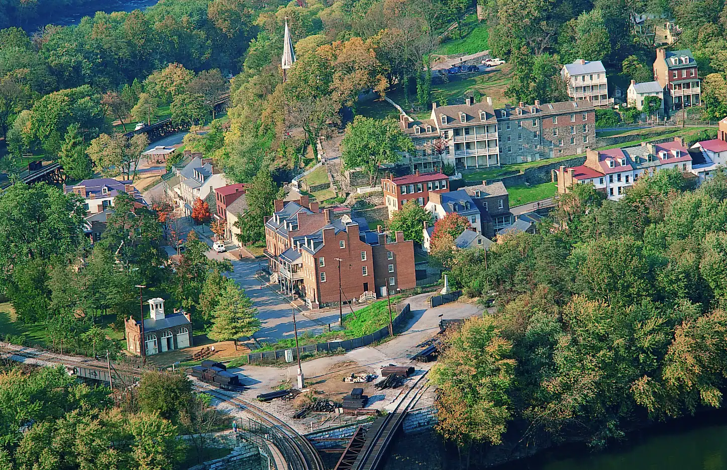
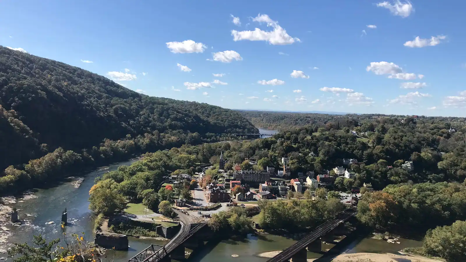
For a visitor with a couple of hours, the towpath is the antidote to the rest of Harpers Ferry. Everything on the West Virginia side is a climb. This is level, shaded for much of its length, and quiet within five minutes of the bridge. It is also where the classic view of the town comes from: look back across the water from the Maryland bank and you get the whole thing, rooftops stacked up the point between two rivers, without the 1,400-foot climb that the more famous version requires.

The catch is getting a bicycle down to it. The footbridge lands you on a spiral staircase, and carrying a loaded touring bike down that is awkward, a trailer is impossible, and a child's bike is merely annoying. Riders through-touring the towpath generally stay on the Maryland side and treat Harpers Ferry as a walk-in detour.

Getting there and parking

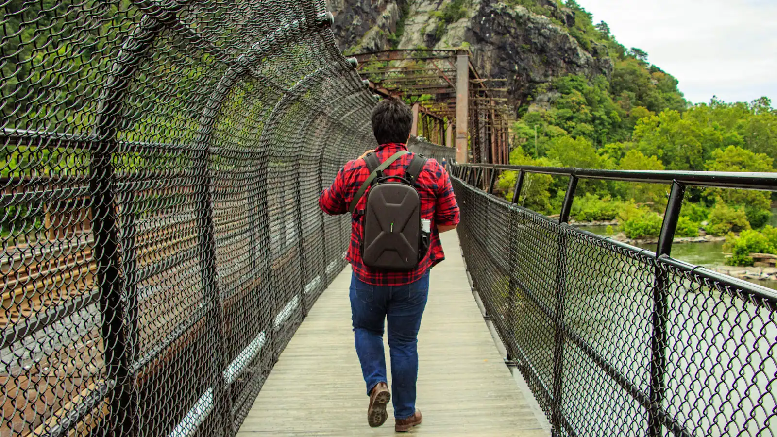
On foot from the lower town: walk to The Point, take the steps up onto the Goodloe Byron Memorial Footbridge, cross the Potomac beside the railroad bridge, and descend the spiral staircase at the far end. Ten minutes from the Shenandoah Street shuttle stop, with two flights of stairs in it.

By bicycle, the staircase is the obstacle. Carrying an unloaded bike down is possible for one person; a trailer or a loaded touring bike is not. Riders are better off reaching the towpath from access points on the Maryland bank instead, which means driving round via US 340 and Sandy Hook Road.

The park directs Maryland Heights hikers to park at the visitor center on Cavalier Heights and walk in over the footbridge rather than looking for space on the Maryland side, and the same advice applies here. There is no visitor parking at the bridge landing.

The spiral staircase, and how to avoid it

The route from the lower town is: Potomac Street, past The Point, up the steps to the Goodloe Byron Memorial Footbridge, across the river alongside the railroad bridge, and then down a tight spiral staircase onto the towpath. On foot it is fine and takes about ten minutes from the shuttle stop.

With a bicycle it is the whole problem. The spiral is narrow, the turns are tight, and you are carrying rather than wheeling. A light road or gravel bike is manageable by one person. A loaded touring rig, a tandem, a trailer or a child seat is not. Shuttle capacity for bikes is limited too, so do not plan on putting one on the bus.

The workaround, if you are riding rather than walking, is to reach the towpath from the Maryland side instead. There is towpath access in the Sandy Hook area downstream of the bridge and further access points at intervals along the Maryland bank. That means driving round, which feels like a defeat and saves a genuinely miserable ten minutes.

If you are walking, none of this applies. Take the stairs and stop worrying about it.
Which way to go from the bridge

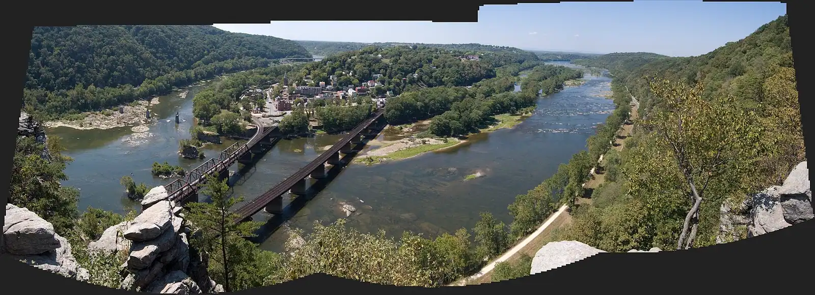
Two choices, and they are different days.

Upstream, north-west toward Antietam Creek. Turn left at the bottom of the stairs. This is the direction of the Maryland Heights trailhead, which leaves the towpath within a few minutes and climbs hard. Keep going instead and the towpath runs on toward Antietam Creek around mile 69, which is a comfortable out-and-back on a bike and a long day on foot. Fewer people, more canal structure, and the river is wide and slow alongside.

Downstream, south-east toward Brunswick. Turn right. This side is busier close to the bridge because it is where most casual walkers go, and it thins out after half a mile. Brunswick sits around mile 55, roughly six miles away, with a railroad town at the end of it and a MARC station of its own.

For most visitors the honest recommendation is smaller than either: walk fifteen minutes in whichever direction, sit down, and look back at the town. That is the payoff. The distance beyond it is for people who came to ride.

Surface, mud and what closes it

The towpath is crushed stone and compacted earth, about eight to ten feet wide, with a canal prism on the inland side that is watered in some sections and dry in others.

It drains slowly. After rain, expect soft ground and standing puddles for a day or two, and after a serious storm expect mud that will stop a road bike entirely. Wider tyres are worth having; 32mm and up is the usual advice from people who ride it regularly.

The river closes it. High water on the Potomac puts sections of towpath under, and the park posts detours and closures as they happen. Trees come down too, and a washout can take weeks to repair on a trail this long. Check the Chesapeake & Ohio Canal National Historical Park's alerts before committing to a long ride, particularly in late winter and early spring.

There is no drinking water at the bridge landing. Pumps exist at intervals along the towpath and are seasonal, so carry what you need rather than counting on one. Shade is good for most of this stretch, which matters more in July than the flat profile does.

Hiker-biker sites and the long trip

Harpers Ferry is a natural resupply and rest point for people doing the whole towpath, and a good number of them appear in the lower town looking mildly bewildered by the crowds.

The National Park Service maintains free hiker-biker campsites at intervals along the Maryland bank, first-come and basic: a spot, a picnic table, usually a privy, seasonal water. They are for people travelling under their own power rather than for car campers. Availability and the state of any individual site change, so check the canal park's own campsite listing rather than an old blog post.

The towpath also joins the Great Allegheny Passage at Cumberland, which makes a continuous traffic-free route from Washington to Pittsburgh of roughly 335 miles. Riders doing that run through here on day two or three out of Georgetown.

If you are one of them, two local notes. The spiral staircase is the only way into town from the towpath, so plan to leave the bike locked at the bottom rather than wrestle it up. And the Appalachian Trail Conservancy on Washington Street is a far better place to fill a bottle and sit down than anywhere in the lower town on a Saturday.

Near C&O Towpath

Straight-line distances, so allow more on the road — the island is long and has one main parkway.

  • A walker crossing a river footbridge with a pack on their back, the far bank thick with trees

    Landmark

    Free

    Appalachian Trail Footbridge

    The walkway bolted to a working railroad bridge that carries the Appalachian Trail over the Potomac — closed since July 2026.

    10–25 minutesFree to cross when open; the park entrance fee applies to your vehicle740 ft away

  • A wide river bending away between steep wooded slopes in full leaf, seen from high ground

    Water feature

    The Potomac River

    The larger of the two rivers, the one that cut the gap through the Blue Ridge, and legally Maryland right up to the West Virginia bank.

    0.5–2 hoursFree to look at; reaching the banks inside the park requires a park entrance fee600 ft away

  • A small town of pale rooftops and a church spire seen from above, wrapped by wooded hills and river water

    Trail

    Free

    Maryland Heights Trail

    The cliff ledge that produces the photograph everyone has seen of this town, and about a thousand feet of climbing to reach it.

    3–5 hoursNo charge for the trail; the park entrance fee applies to your vehicle720 ft away

  • A long steel bridge carrying a walkway across a wide river, with a forested ridge rising behind it

    Viewpoint

    Free

    The Point

    Ninety seconds from the shuttle stop, level the whole way, and the only spot where the town's geography explains itself.

    10–30 minutesFree; covered by the park entrance fee already charged on your vehicle0.2 mi away

C&O Towpath: common questions

How do you get to the C&O Canal towpath from Harpers Ferry?

Walk to The Point at the end of Potomac Street, climb the steps onto the Goodloe Byron Memorial Footbridge, cross the Potomac alongside the railroad bridge, then take the spiral staircase down at the Maryland end. It is about ten minutes from the shuttle stop on Shenandoah Street and involves two flights of stairs. There is no other pedestrian crossing here; the railroad bridge is a working freight line and is not a walkway.

Can you take a bike across the footbridge to the towpath?

You can carry one, but the spiral staircase at the Maryland end makes it awkward. An unloaded bike is manageable for one person. A loaded touring bike, a tandem, a child trailer or a bike with a seat fitted is a genuine struggle. Shuttle capacity for bicycles is limited as well. Riders are usually better off reaching the towpath from an access point on the Maryland bank and treating the town as a walk-in stop.

What mile of the C&O Canal is Harpers Ferry?

Roughly mile 61, measured from the canal's start at Georgetown in Washington. The full towpath runs 184.5 miles to Cumberland, Maryland. From the footbridge, Brunswick lies about six miles downstream near mile 55, and Antietam Creek about eight miles upstream near mile 69. Both make reasonable out-and-back rides; on foot, most visitors are well served by fifteen minutes in either direction.

Is the C&O Canal towpath suitable for young children?

The surface is, once you are on it. It is flat, wide, traffic-free and shaded for much of this stretch, which makes it the easiest walking anywhere near Harpers Ferry, where everything else is a climb. The obstacles are the two staircases between the lower town and the towpath and the total absence of drinking water at the bridge landing. Pushchairs will need carrying down the spiral staircase.