Skip to content
Menu

A booking made through these earns us a commission from Viator. The price is the same, and the commission had no bearing on what is recommended.

Things to Do

Harpers Ferry Views: Four Overlooks, Four Different Things to See

Last updated

Which Harpers Ferry viewpoint shows what: the Maryland Heights overlook, Jefferson Rock, the Point and Bolivar Heights, with the climb each one costs.

A river turning between steep wooded slopes in full summer leaf, seen from high groundUnsplash

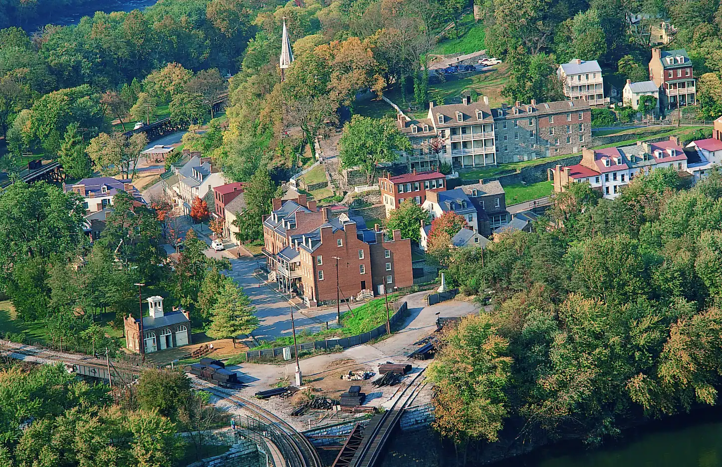
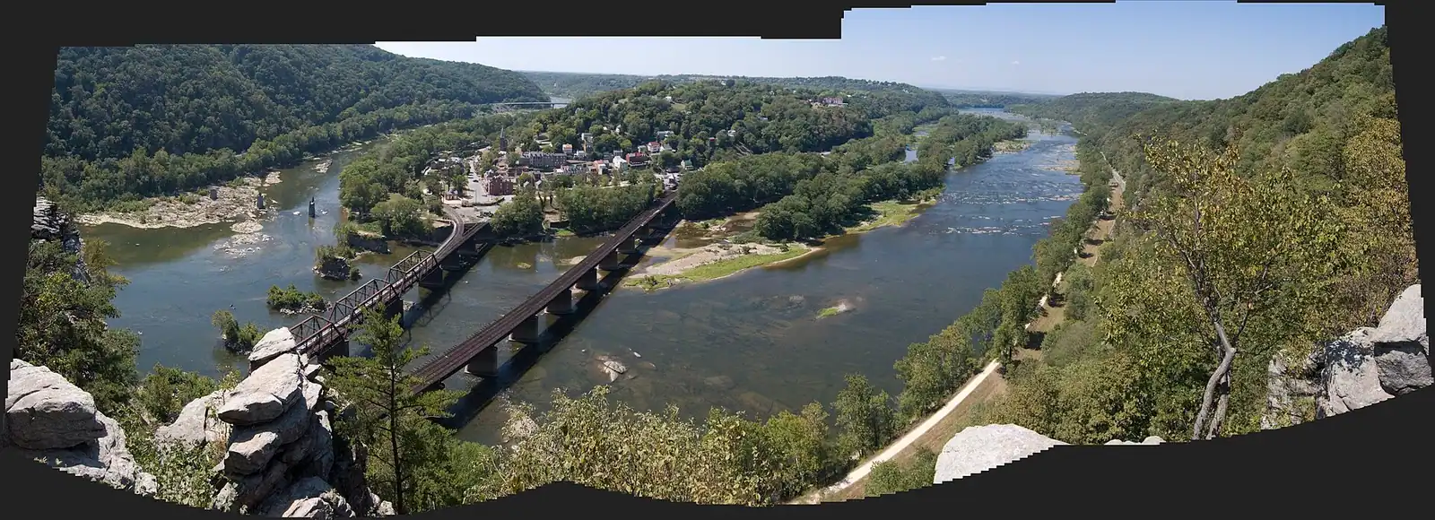
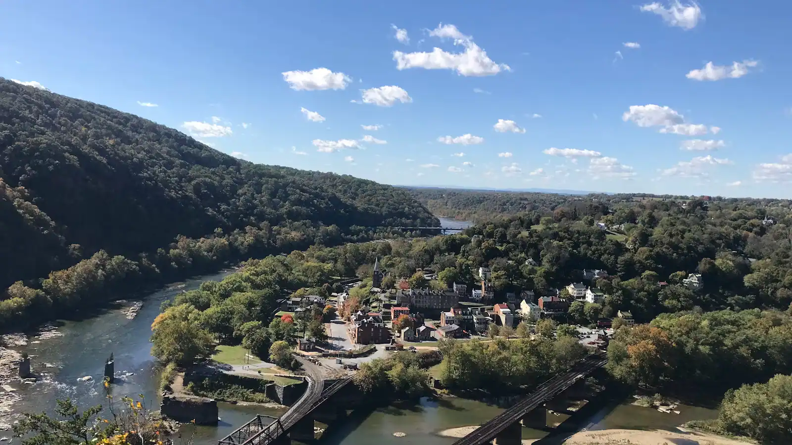
Start with the correction, because it saves an afternoon. The photograph you have seen of Harpers Ferry — the whole town laid out on its spit of land, two rivers folding together below, a railway bridge threading into a tunnel in the far cliff — is taken from Maryland Heights. That is across the Potomac, in another state, at the top of a climb of roughly a thousand feet, and getting there and back is three to four and a half hours on your feet. It is not the view from Jefferson Rock, which is where most first-time visitors go looking for it.

Four viewpoints matter here and they face four different ways. The Point is at ground level at the end of Shenandoah Street, where the rivers actually meet, and it looks downstream and east into the water gap the Potomac has cut through the Blue Ridge — with Maryland on the left bank and Virginia on the right, which is why people stand there saying "three states" to each other. Jefferson Rock is a few hundred feet up the stone steps behind the town and it looks the other way, south and upstream into the Shenandoah gorge, at almost no town at all. Maryland Heights is the aerial one. Bolivar Heights is a broad open ridge west of the town that looks out across farmland toward the Blue Ridge, and it is nearly flat, which makes it the best value in the park for anyone who does not want to climb.

Two things govern all of them and neither is on a signpost. The first is leaf cover. From May to October the hardwoods screen a good deal of what the heights can show you, and the overlooks that feel cramped in July are wide open in February. Winter here is genuinely underrated for views. The second is the closing rule: trails and car parks open half an hour before sunrise and shut half an hour after sunset, which in December means the heights close before five in the afternoon.

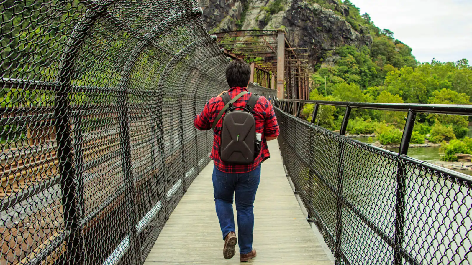
One more piece of honesty. The route to Maryland Heights crosses the Potomac on the Goodloe Byron Memorial Footbridge, and that bridge has been affected by stairway reconstruction through the second half of 2026, with closures and a substitute shuttle from C&O Canal Lock 34. Before you plan a day around the famous photograph, check the park's alerts page. Everything else on this page is reachable whatever the bridge is doing.

The Point: the one that costs nothing

Green trees crowding down to the edge of still river water under a bright skyUnsplash
Green trees crowding down to the edge of still river water under a bright sky

A paved walk of a couple of hundred yards from the shuttle stop, along flat Shenandoah Street, brings you out onto a small stone platform at the tip of the town where the Shenandoah comes in from the right and the Potomac from the left and the joined river runs away east through a gap in the Blue Ridge.

It is the most photographed spot in the park that requires no effort at all, and it is worth fifteen minutes rather than three.

Things to look for while you stand there. The two rivers are visibly different — the Shenandoah usually greener and, after rain in the valley, muddier sooner; the Potomac carrying mountain water and, in spring, running harder. On a day when one is up and the other is not, you can see the line where they meet and refuse to mix for a hundred yards downstream.

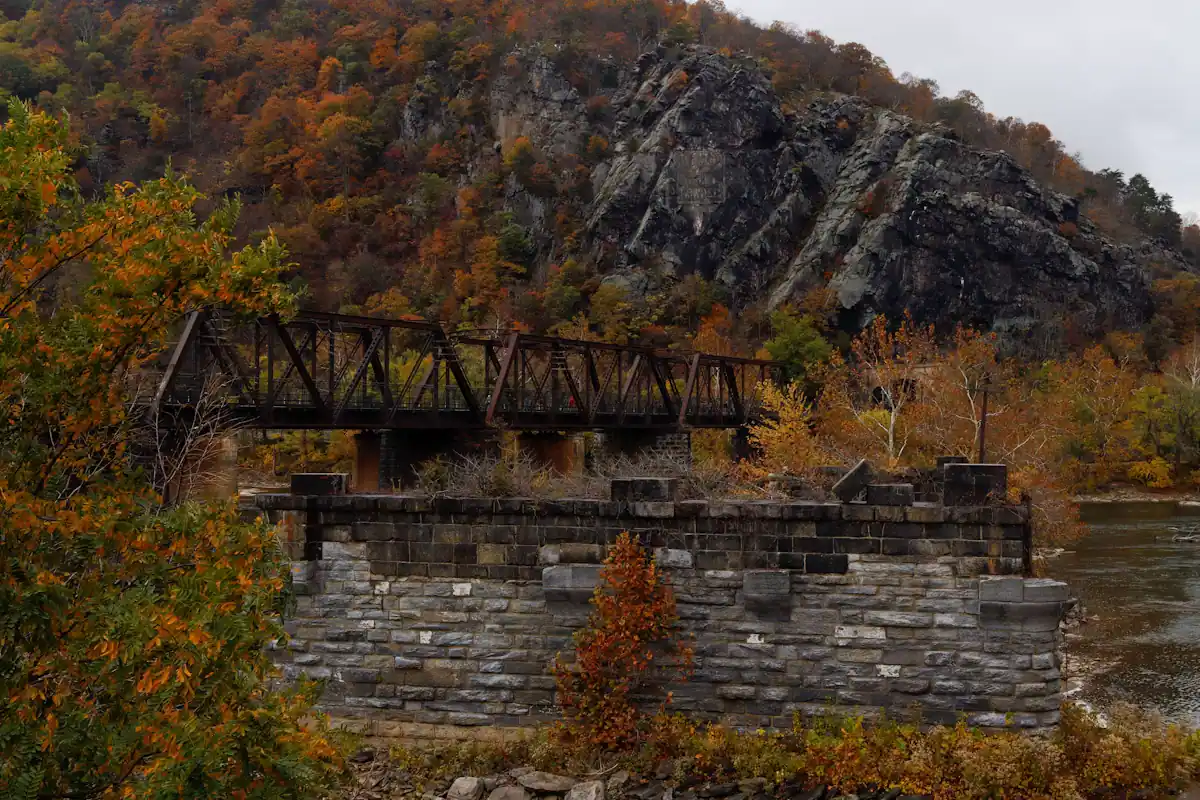
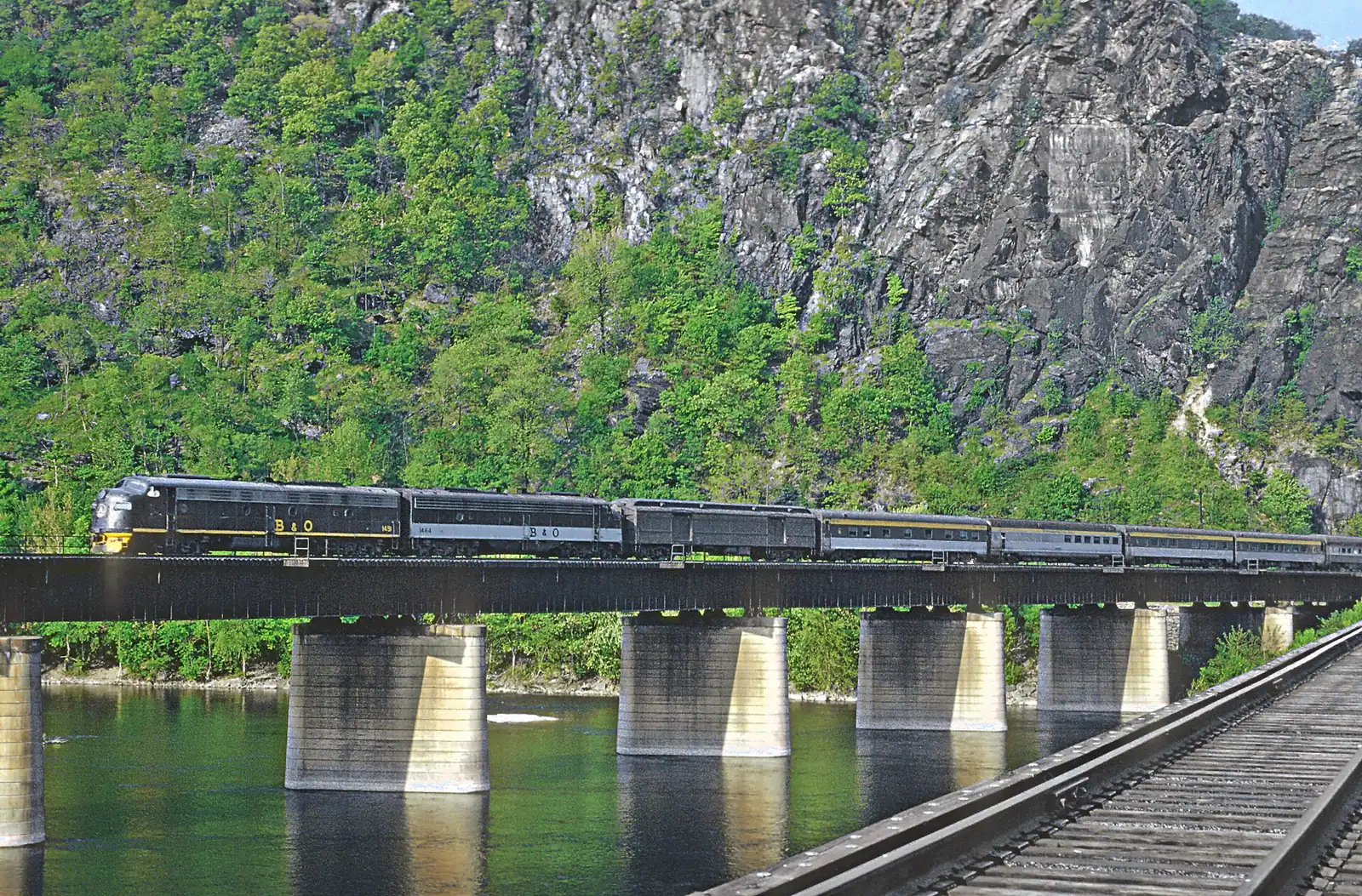
Across the Potomac the cliff face of Maryland Heights rises almost straight out of the water, and if you follow it right you will find the railway disappearing into a tunnel bored through the rock. Trains use it constantly. The B&O main line is live and busy, and standing at the Point you will hear a freight before you see it.

And the three-state claim is genuinely true: West Virginia underfoot, Maryland across the Potomac, Virginia across the Shenandoah, all within a few hundred yards. It is one of the few places in the country where you can point at three states without a map.

Best light is early. The gap faces east, so sunrise comes straight up the river at you, and in the half hour after the trails open on a September morning there is often mist sitting on the water below the bridges.

Jefferson Rock: not the view you are expecting

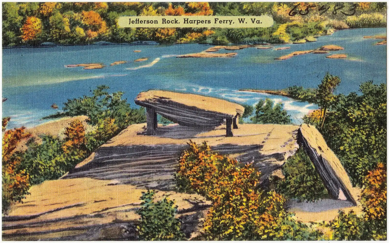
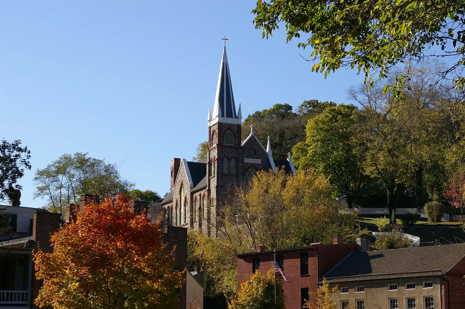
Go up High Street and take the flight of steps cut into the rock in 1810. They climb past St Peter's Catholic Church and the ruin of St John's Episcopal above it, and after ten or fifteen minutes you come out on a shelf with a stack of grey slabs on it.

This is Harpers shale, thin-bedded and splitting flat, which is why the slabs sit in a pile like badly stacked paving. Thomas Jefferson stood here on 25 October 1783 and wrote the view up two years later in Notes on the State of Virginia, and that paragraph did more for this town's visitor trade than anything else that has happened to it, including the raid.

What he was looking at is the Shenandoah water gap, upstream and to the south — the river coming down between two closing walls of ridge. He read it as evidence of a single catastrophic breach. Modern geology reverses the sequence: the rivers are older than the ridge in its present form and cut down through the rock as it rose.

What he was not looking at is the town, and neither will you be. A little of Virginius Island shows through in leaf, more in winter, but this is not an overlook of Harpers Ferry. People arrive expecting the postcard, find a gorge, and are disappointed by one of the most interesting views in the mid-Atlantic.

The top slab has stood on four masonry pillars since around 1855 to 1860, put there because the natural base had weathered away under it. Climbing on the rock is prohibited. People do it anyway, and they are the reason the pillars exist.

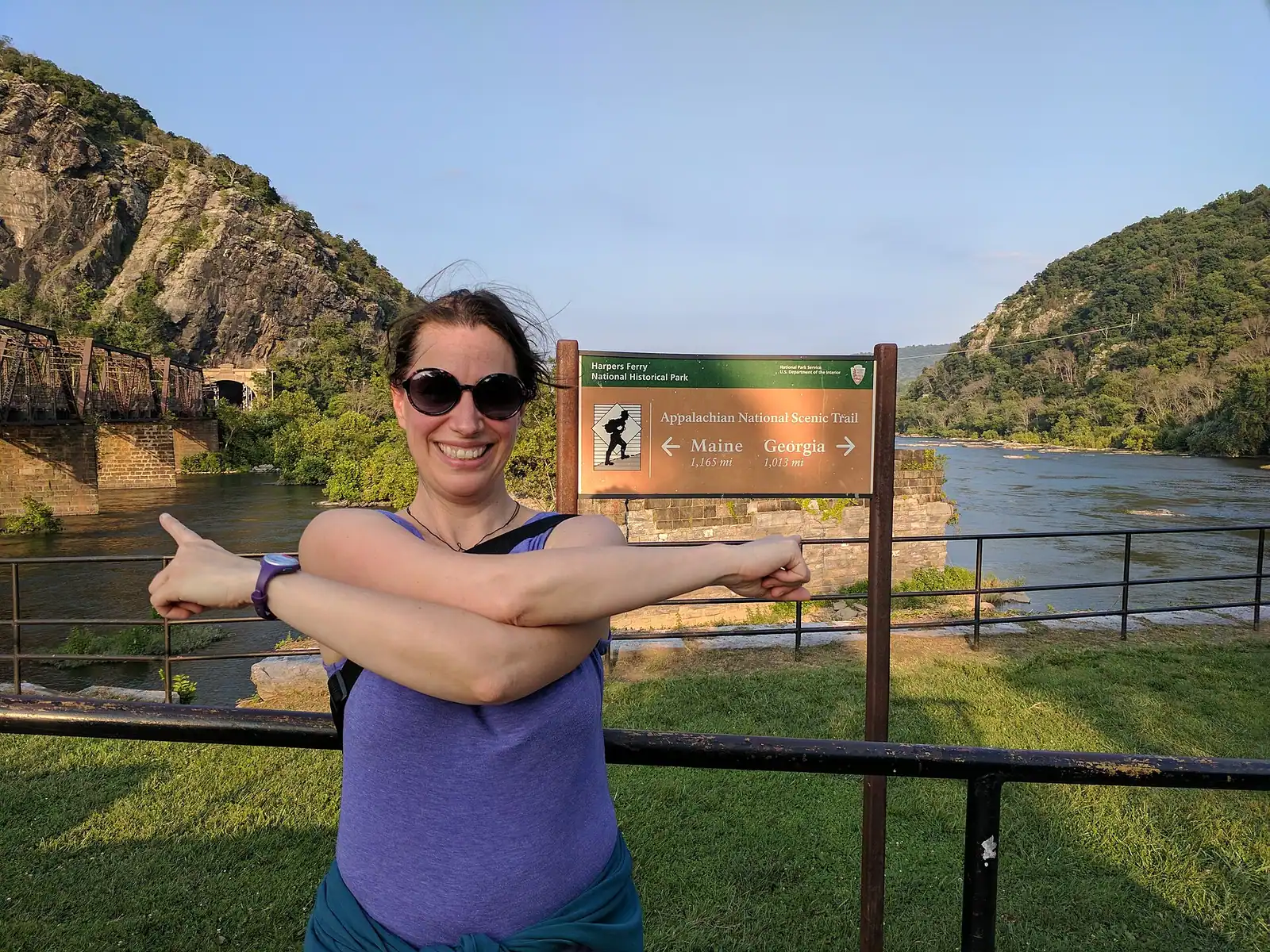
The Appalachian Trail runs past here, so on a spring evening you will share the shelf with thru-hikers eating out of a bag.

Bolivar Heights and Loudoun Heights: the easy one and the empty one

Bolivar Heights is the view nobody puts on a postcard and the one we send most people to. It is a broad open ridge west of the town with its own small car park off Whitman Avenue, a wide near-level track, and grass. From the top of it the ground falls away west across farmland to the long wall of the Blue Ridge, and north toward the Potomac. You can push a wheelchair on a good deal of it. You can take a picnic. On a clear evening the sun goes down over the valley in front of you, which is something none of the other viewpoints offers, because they all face the wrong way.

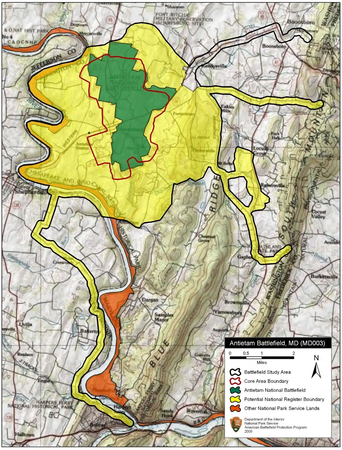
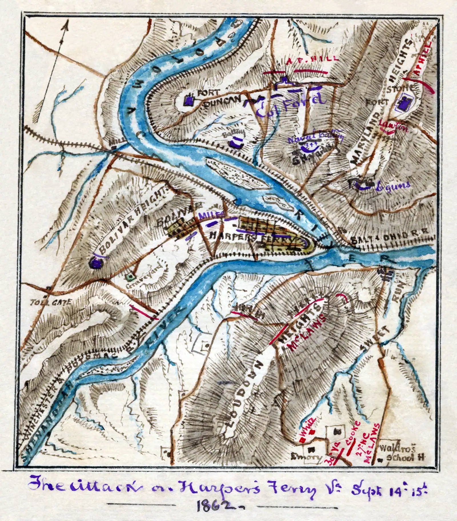
It is also the ground on which a Union garrison of about 12,500 men surrendered on 15 September 1862, after Confederate guns on Maryland Heights, Loudoun Heights and School House Ridge fired into them from three directions. Standing on the ridge and looking up at those three hills is the clearest explanation of that surrender anybody will ever give you. The interpretive panels are good.

Loudoun Heights is across the Shenandoah on the Virginia side, reached by the Appalachian Trail, and it is the quiet one. The climb is longer and steeper than Maryland Heights for a narrower version of the same view, which is precisely why there is nobody on it. If you have done Maryland Heights on a previous visit and want the town from the other side with the whole ridge to yourself, this is the walk. Give it four to five hours and treat it as a proper hike rather than a viewpoint with a path attached.

Neither has water or facilities. Bolivar Heights is fifteen minutes' drive from the lower town; there is no shuttle to it.

Leaf cover, light and time of day

When to go

Leaf is the variable nobody warns you about. These are dense eastern hardwood slopes, and between about May and mid-October the canopy closes across the edge of every high viewpoint here. The Maryland Heights overlook itself is a bare rock shelf and stays open all year, but Jefferson Rock, Loudoun Heights and the approaches to all of them are screened in summer in a way they are not in winter. A bare-branch view in late February from any of these points shows you appreciably more of the rivers and the town than the same spot in July.

Morning belongs to the climbs. The bowl the town sits in holds heat and humidity, and the Maryland Heights switchbacks in a July afternoon are genuinely unpleasant. Be walking within an hour of the trails opening and you get cool air, low sun raking across the ridges, and the car park to yourself.

The last hour of daylight belongs to Jefferson Rock and Camp Hill, because they look south-west up the Shenandoah gorge and that is where the sun goes. In October this is the best half hour of the day in Harpers Ferry and hardly anybody is up there for it.

Sunrise belongs to the Point, which faces east down the water gap, and to the towpath on the Maryland bank.

Sunset belongs to Bolivar Heights, the only one of these that faces west across open ground.

And the hard constraint on all of it: trails and car parks close thirty minutes after sunset, and the last shuttle out of the lower town goes at 7 p.m. in summer or 5.30 p.m. in winter. Evening light and the shuttle timetable are in direct conflict from November to March, and the timetable wins.
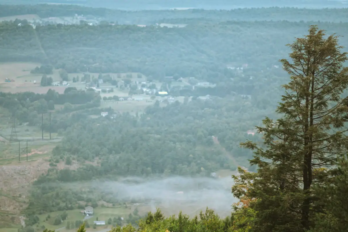
Views without a climb, and one from a train

Local tips

  • From the train. The MARC and Amtrak services cross the Potomac on the railway bridge and run straight into the tunnel through Maryland Heights. For about twenty seconds you get the confluence from the middle of the river at track height, which is a view no footpath offers. Sit on the right coming from Washington.
  • The C&O Canal towpath. Cross the footbridge, turn either way, and walk a flat mile on the Maryland bank. The town sits across the water the whole time, with the church spire above it and the cliff behind you. This is the easiest good view in the area and it is on a surfaced level path. Subject, as ever, to the bridge being open.
  • Harper Cemetery, on Camp Hill. A small burial ground above the town with a long view down the Potomac gap over the rooftops. Quiet, free, and five minutes off the path to Jefferson Rock.
  • The Camp Hill path itself, between the stone steps and the old Storer College grounds, opens out repeatedly on the way and is nearly level once you are up.
  • The overlook from the lower town end of the Shenandoah bridge, looking upstream at the ledges and rapids the rafting trips run.
  • Not the US 340 highway bridge. The view from a car crossing it is excellent and there is nowhere to stop, no footway worth the name and fast traffic. Look, do not park.

Which viewpoint shows what

How they compare

ViewpointFacesWhat you actually seeEffort
The PointEast, downstreamThe confluence at water level; the water gap; three states meeting; trains on both bridgesFlat, five minutes from the shuttle stop
Jefferson RockSouth, upstreamThe Shenandoah gorge and the ridges closing in — very little of the town1810 stone steps, about 15 minutes up from High Street
Maryland Heights overlookSouth-west, downThe whole town on its point, both rivers, the bridges, the railway tunnel4.5 miles round trip, roughly 1,150 feet of climb
Bolivar HeightsWest and northOpen farmland, the Shenandoah valley, the Blue Ridge wallNear-level track from its own car park
Loudoun HeightsNorth, downA narrower version of the Maryland Heights view, from the Virginia sideLonger, steeper, far fewer people

Read that table once before you decide anything. Two of the five cost you almost nothing and show you two entirely different things; one costs half a day and produces the image in your head; one is empty and the reason to go is that it is empty.

If you have one hour, take the Point and Jefferson Rock, in that order, and accept that you are not getting the aerial shot today. If you have four, take Maryland Heights and nothing else. Trying to do both properly in a single short winter day is how people end up hurrying the stone steps in the dark.

Maryland Heights: the photograph, and what it costs

A long steel bridge carrying a walkway across a wide river, with a forested ridge rising behind itUnsplash
A long steel bridge carrying a walkway across a wide river, with a forested ridge rising behind it

Before you book

The overlook is a bare rock shelf on the Maryland side, looking south-west and down over the whole town, both rivers, both bridges and the railway tunnel. Maryland Heights tops out around 1,448 feet against a town elevation of about 509, so you are the better part of a thousand feet above the confluence. The view is earned.

The park's own numbers, verified in September 2026:

  • Lower town to the overlook and back: 4.5 miles, about 1,154 feet of ascent, roughly 3.4 hours. Rated moderate.
  • Adding the Stone Fort loop: 6.2 miles, about 1,522 feet, roughly 4.6 hours.
  • From the visitor centre, with the Stone Fort loop: 9.5 miles, about 1,771 feet, roughly 6.5 hours. Rated strenuous.

The Stone Fort loop takes you over the summit past earthworks and gun positions that soldiers dragged artillery up this hill to build in 1862. Two extra miles, and the view is not better; go for the history.

There is no water and there are no toilets on the trail, and it is open daylight hours only. The climb is switchbacks on loose stone, unshaded at the bottom, which makes it uncomfortable in July and slippery after rain.

And the access caveat. The trailhead is reached by crossing the Goodloe Byron Memorial Footbridge from the lower town, following the C&O Canal towpath, then crossing the road on the Maryland side. Reconstruction of the stairway between bridge and towpath began on 27 July 2026, the bridge has been shut for stretches of it, and the Park Service has run a substitute shuttle between C&O Canal Lock 34 and the visitor centre, daily 9 a.m. to 6.30 p.m., with limited space and a round trip of about an hour. Check the alerts page the morning you go.

On the ground

Where to go

Every place below has its own page — hours, parking, what it costs and what to expect when you get there.

  • A plain church with a steep roof and a spire standing above a wooded slope

    Historic site

    Antietam National Battlefield

    Roughly 23,000 casualties in one September day, half an hour north of Harpers Ferry, and the same campaign that took this town.

    2.5–6 hoursAt the time of writing: $20 per private vehicle, $15 per motorcycle, $10 per person on foot or bicycle, each valid three consecutive days

  • A small town of pale rooftops and a church spire seen from above, wrapped by wooded hills and river water

    Trail

    Free

    Maryland Heights Trail

    The cliff ledge that produces the photograph everyone has seen of this town, and about a thousand feet of climbing to reach it.

    3–5 hoursNo charge for the trail; the park entrance fee applies to your vehicle

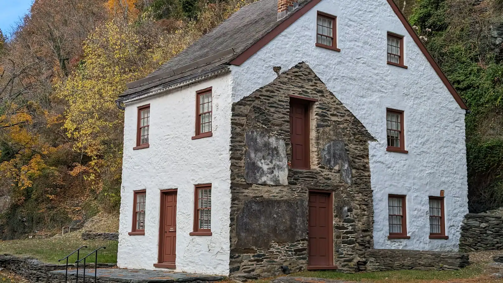
  • A whitewashed stone-walled house standing on a steep bank above a dry stone retaining wall

    Neighbourhood

    Camp Hill

    The terrace above the lower town: Storer College, the 1906 Niagara Movement meeting, and the view without the queue.

    1–1.5 hoursIncluded with park entrance; the grounds carry no separate charge

  • A river turning between steep wooded slopes in full summer leaf, seen from high ground

    Viewpoint

    Free

    Jefferson Rock

    A propped shale slab above the Shenandoah gorge, and the spot that gave American travel writing its first great sentence.

    0.5–1.5 hoursFree once you are inside the park; the park entrance fee still applies to your vehicle

  • A long steel bridge carrying a walkway across a wide river, with a forested ridge rising behind it

    Viewpoint

    Free

    The Point

    Ninety seconds from the shuttle stop, level the whole way, and the only spot where the town's geography explains itself.

    10–30 minutesFree; covered by the park entrance fee already charged on your vehicle

  • A wide river bending away between steep wooded slopes in full leaf, seen from high ground

    Water feature

    The Potomac River

    The larger of the two rivers, the one that cut the gap through the Blue Ridge, and legally Maryland right up to the West Virginia bank.

    0.5–2 hoursFree to look at; reaching the banks inside the park requires a park entrance fee

  • Green trees lining the edge of flat, slow river water under a bright sky

    Trail

    Free

    C&O Canal Towpath

    184 miles of level crushed stone on the Maryland bank, reached by a footbridge and an awkward spiral staircase.

    1–5 hoursFree. The towpath itself carries no entrance fee

  • A whitewashed stone-walled house on a steep bank, its garden held up by a dry stone retaining wall

    Historic site

    Free

    Bolivar Heights

    Flat, open and five minutes from the car park: the battlefield where a Union garrison of 12,500 surrendered in two days.

    1–1.5 hoursNo separate charge; covered by the park entrance fee, which is valid three consecutive days

  • A walker crossing a river footbridge with a pack on their back, the far bank thick with trees

    Landmark

    Free

    Appalachian Trail Footbridge

    The walkway bolted to a working railroad bridge that carries the Appalachian Trail over the Potomac — closed since July 2026.

    10–25 minutesFree to cross when open; the park entrance fee applies to your vehicle

  • A brick church with a steep slate roof and a pointed steeple standing above a hillside of trees

    Historic site

    Free

    St Peter's Catholic Church

    The spire in every aerial photograph of this town, and the only church here that came through the war standing.

    10–30 minutesFree; the park entrance fee applies to your vehicle but the church charges nothing

  • Broken ledges of rock running across a shallow river between wooded banks

    Trail

    Free

    Loudoun Heights

    The Virginia ridge across the Shenandoah: more climbing than Maryland Heights, fewer views, and almost nobody on it.

    4–5.5 hoursFree to walk; the park entrance fee applies to your vehicle at the visitor centre

Straight answers

Questions people actually ask

Where is the famous view of Harpers Ferry taken from?

Maryland Heights, across the Potomac on the Maryland side. The overlook is a bare rock shelf roughly a thousand feet above the confluence, looking south-west over the whole town, both rivers, both bridges and the railway tunnel. Reaching it is a 4.5-mile round trip from the lower town with about 1,150 feet of climbing, roughly three and a half hours. It is not the view from Jefferson Rock.

What can you see from Jefferson Rock?

The Shenandoah water gap, looking south and upstream, with the ridges closing in on the river — and very little of the town itself, which surprises most people who climb up for it. A little of Virginius Island shows through the trees, more in winter when the leaves are off. Thomas Jefferson stood here on 25 October 1783 and described the scene in Notes on the State of Virginia.

What is the easiest viewpoint in Harpers Ferry?

The Point, at the end of Shenandoah Street — a flat paved walk of a couple of hundred yards from the shuttle stop to a stone platform where the two rivers meet, with Maryland across one and Virginia across the other. For a wider view with no climb, drive fifteen minutes to Bolivar Heights, which has its own car park and a near-level track out to open ground facing the Blue Ridge.

Can you see three states from Harpers Ferry?

Yes, and it is one of the few places in the country where the claim is straightforward. Standing at the Point you are in West Virginia, Maryland is across the Potomac to your left, and Virginia is across the Shenandoah to your right, all within a few hundred yards. The boundaries meet at the confluence itself, which is why the spot has been marked and argued over since the eighteenth century.

When is the best time of day for views in Harpers Ferry?

Early morning for the climbs, because the bowl the town sits in holds heat and the Maryland Heights switchbacks are hard work in an afternoon. Sunrise for the Point, which faces east down the water gap. The last hour of daylight for Jefferson Rock and Camp Hill, which look south-west up the Shenandoah gorge. Sunset for Bolivar Heights, the only viewpoint here facing open ground to the west.

Are the views better in winter at Harpers Ferry?

From several of them, yes, and it is the least-known thing about this place. These are dense hardwood slopes, and between May and mid-October the canopy screens the edges of Jefferson Rock, Loudoun Heights and the approach paths. With the leaves off you see appreciably more river and more town. The Maryland Heights overlook is a bare rock shelf and is open all year. Winter days are short, so start early.

Do you need to pay to see the views at Harpers Ferry?

You need a park entrance pass, which was $20 a vehicle or $10 a person on foot when we checked, valid three consecutive days and covering the shuttle. Beyond that the viewpoints cost nothing — the Point, Jefferson Rock, Bolivar Heights and Maryland Heights are all inside the park and all free once you are in. The C&O Canal towpath on the Maryland bank belongs to a different national park and carries no fee.