Skip to content
Menu

A booking made through these earns us a commission from Viator. The price is the same, and the commission had no bearing on what is recommended.

Things to Do

Harpers Ferry National Historical Park: Fees, the Shuttle and How It Works

Last updated

Entrance fees, the Cavalier Heights visitor centre shuttle, opening hours and what is inside the boundary at Harpers Ferry National Historical Park.

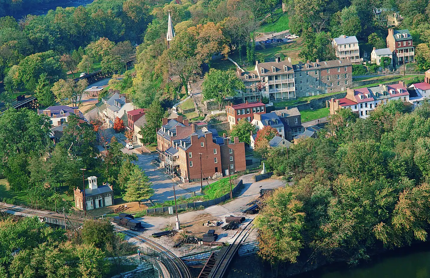
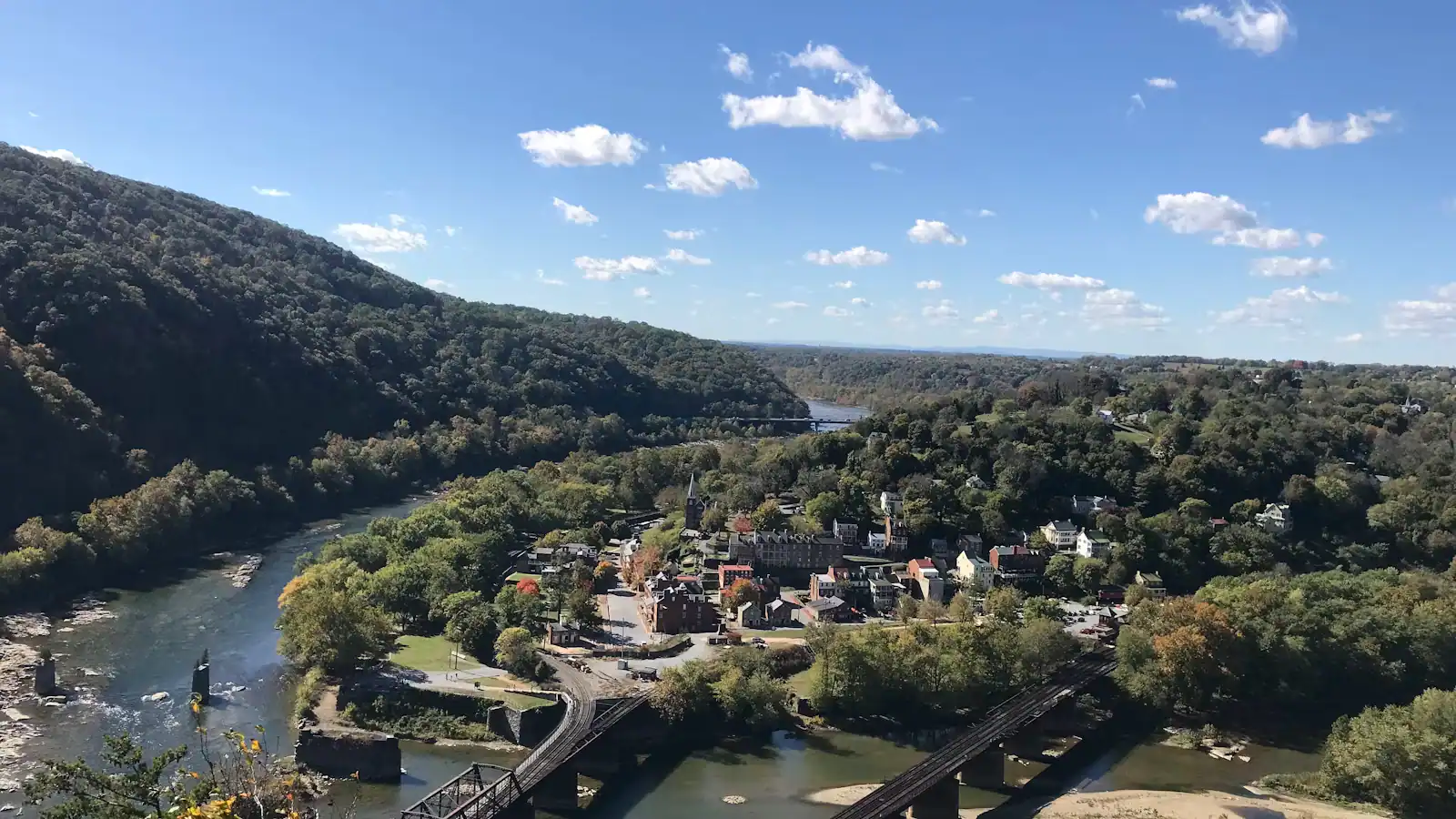
A small town of pale rooftops and a church spire seen from above, wrapped by wooded hills and river waterUnsplash

At most national parks the town is outside the gate. Here the town is the park. Harpers Ferry National Historical Park covers roughly 3,660 acres in three states, and the part everyone comes for — the stone-and-brick streets at the confluence, the armoury lawn, the engine house, the steps up to Jefferson Rock — is inside the boundary. The shops on Potomac Street trade inside a national park. The Appalachian Trail runs down the middle of it. There are 269 people living in the municipality, and about four hundred thousand visitors a year arriving to walk through their front gardens, which is a tension the park manages with a car park on a hill and a bus.

That car park is the single most useful thing on this page, so it goes near the top. You are meant to park at the visitor centre on Cavalier Heights, off US 340 at 171 Shoreline Drive, and ride the shuttle down. The lower town has almost nowhere to leave a car — a handful of bays, most of them taken by half past nine on an October Saturday — and the streets are nineteenth-century widths on a slope. Satellite navigation does not know this. Type "Harpers Ferry" into a phone and it will take you down the hill into the town, where you will circle, fail, and come back up. Enter the visitor centre address instead.

The fee is charged per vehicle, not per head, and it covers the shuttle. When we checked in September 2026 it was $20 for a private vehicle, $15 for a motorcycle and $10 a person for anyone arriving on foot or by bicycle aged sixteen or over, each valid for three consecutive days. A park annual pass was $35 and the national America the Beautiful passes are accepted. One thing catches people out every week: the park is cashless. No till in the place takes notes. Bring a card or buy the pass online before you set off.

Three different clocks run inside the boundary and they do not agree. The museums, the exhibit buildings and the lower-town toilets keep 9 a.m. to 5 p.m. The trails and the parking lots open thirty minutes before sunrise and close thirty minutes after sunset, which is why a January sunset closes the heights at four in the afternoon and a June one does not. The shuttle is its own thing again: first bus at nine, and a last return from the lower town at seven under daylight saving or half past five under standard time. If you are here on a short winter afternoon, that last figure is the one that decides your day.

The park is open every day of the year except Thanksgiving Day, Christmas Day and New Year's Day. Something is usually shut for another reason, though — this is a floodplain with a 36-foot record crest, a set of steep trails on shale, and a century-old footbridge, and closures are normal rather than exceptional. Check the park's alerts page the morning you travel. The rest of this page is what is inside the boundary, how long each piece takes, and which rules people break without meaning to.

What it costs, and why your cash is useless

What it costs

Figures below were verified on the park's own fee page on 21 September 2026. Fee schedules change; treat these as the shape of the thing and confirm before you travel.

PassPrice when checkedCovers
Private vehicle$20Everyone in the car, three consecutive days
Motorcycle$15Rider and passenger, three consecutive days
Per person, on foot or bicycle$10One person aged 16+, three consecutive days
Harpers Ferry annual pass$35One year at this park
America the Beautiful annualStandard federal priceThis park and every other federal fee area

Under-16s enter free. The three-day validity is genuinely useful here: the town rewards a second morning far more than it rewards a longer first day, and a Friday afternoon ticket is still good on Sunday.

The park takes no cash. Not at the entrance station, not at the visitor centre desk. This is a standing policy, not a temporary one, and it strands somebody at the booth most days. Bring a card, or buy an entrance pass online in advance and show the confirmation number.

Note also what the fee does not cover. The privately run museums up on High Street charge their own admission. Rafting, tubing and guided tours are commercial operations and priced separately. The C&O Canal towpath on the Maryland bank belongs to a different national park and is free. And if you arrive on foot from the trail or off the train, you are still liable for the per-person fee inside the fee area — which surprises hikers who assume the Appalachian Trail is exempt.

The shuttle, and why the park expects you to use it

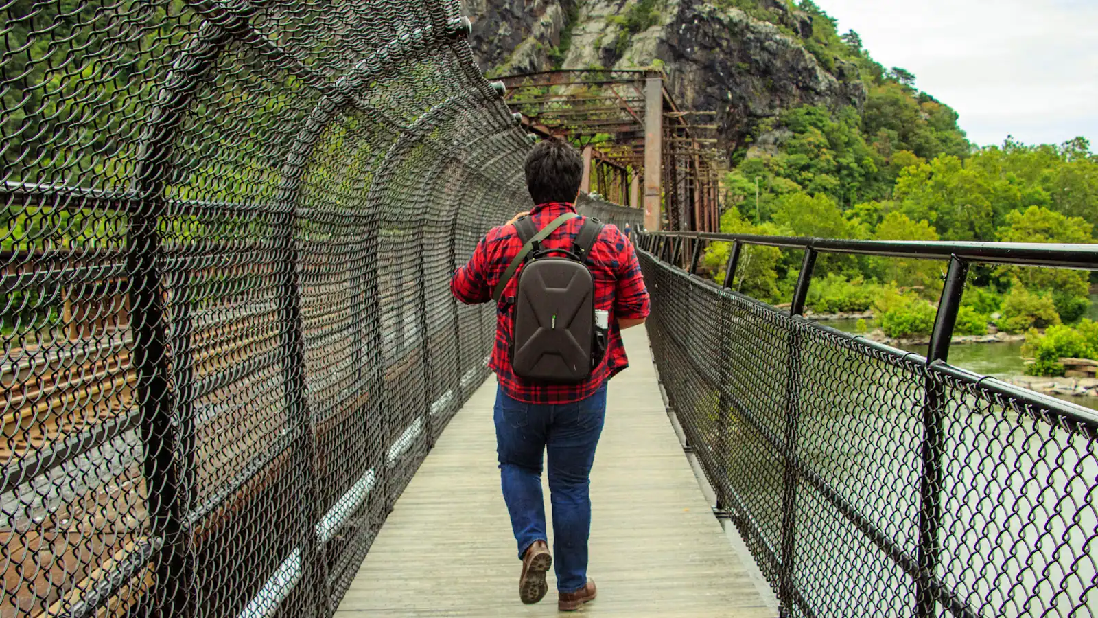
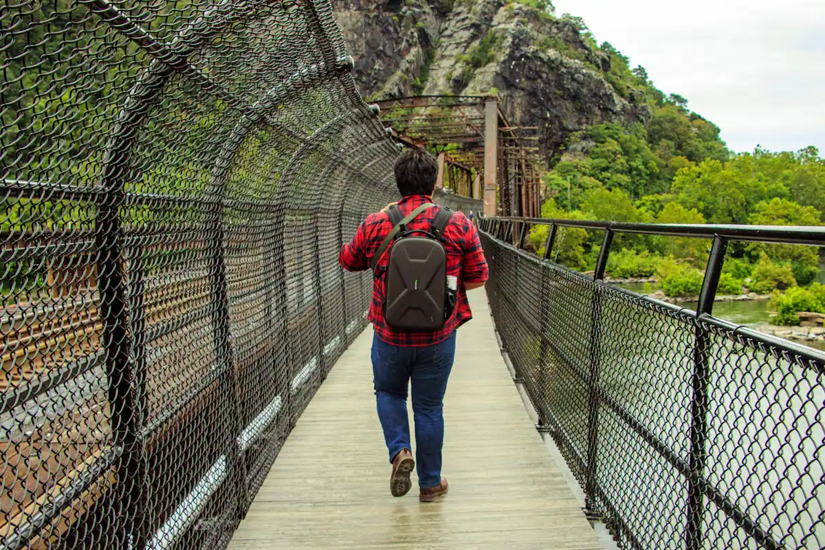
A walker crossing a river footbridge with a pack on their back, the far bank thick with treesUnsplash
A walker crossing a river footbridge with a pack on their back, the far bank thick with trees

When to go

Buses run between the visitor centre on Cavalier Heights and a stop at the bottom of Shenandoah Street in the lower town, every ten to fifteen minutes, on every day the park is open. Riding is included in your entrance fee — there is no separate ticket and nothing to show on board.

First departure is 9 a.m. The last bus back up from the lower town is where the season matters:

  • Daylight saving time, roughly 9 March to 1 November 2026: last return at 7 p.m.
  • Standard time, roughly 3 November 2025 to 8 March 2026: last return at 5.30 p.m.

Work backwards from that number rather than forwards from breakfast. A December visitor who starts the Maryland Heights climb at one o'clock will be walking back up the hill to the car park in the dark.

The buses carry ramps or lifts. Pets are not allowed aboard — service animals working in their capacity excepted — which is the detail that ruins the most days out, because plenty of people drive an hour with a dog in the back assuming a national park is a dog park. Dogs are welcome on the park's trails on a lead; they simply cannot ride the bus, so with a dog you are walking down and back up.

If you miss the last bus, you have not missed the town. The Visitor Center to Lower Town Trail connects the two on foot in roughly twenty minutes downhill and rather more coming back, and it is open as long as the trails are.

Three clocks, none of them the same

When to go

The most common planning mistake here is assuming "the park is open" is a single fact. It is three.

Museums and exhibit buildings: 9 a.m. to 5 p.m. That covers the John Brown Museum, the exhibit rooms along Shenandoah Street and the lower-town restrooms. If you arrive at half past four you will get through one building, not six.

Trails and parking lots: thirty minutes before sunrise until thirty minutes after sunset. This is the rule that governs the heights, Jefferson Rock, Bolivar Heights and the walk down from the visitor centre. It moves by more than four hours between the solstices in this latitude, and the park does enforce the evening end of it.

The shuttle: 9 a.m. to 7 p.m. in summer, 9 a.m. to 5.30 p.m. in winter, measured by the last bus leaving the lower town rather than the last bus arriving.

Put them together and the useful advice is unglamorous. In summer, come early for the climb and let the buildings fill the middle of the day. In winter, do the opposite: buildings first, because the light will be gone before you have finished them, and keep any climbing short. The park closes entirely on Thanksgiving Day, 25 December and 1 January, and reduced staffing can shut individual buildings on any day of the year.

Steep, historic and hard on wheels

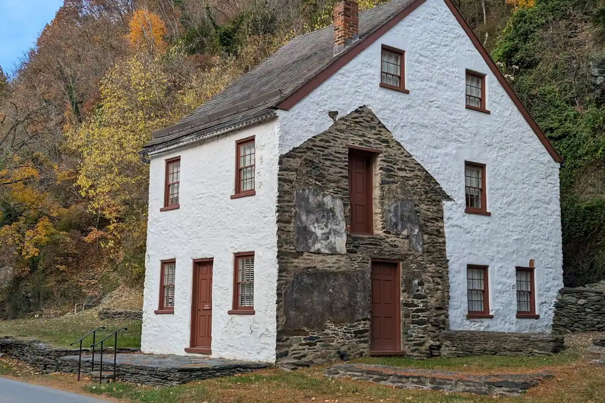
A whitewashed stone-walled house on a steep bank, its garden held up by a dry stone retaining wallUnsplash
A whitewashed stone-walled house on a steep bank, its garden held up by a dry stone retaining wall

Be realistic about the terrain before you commit. The lower town is built on a slope with nineteenth-century surfaces: worn stone, cobble, brick, uneven kerbs and steps into most doorways. Shenandoah Street, along the water, is the flat one and it is genuinely level for several hundred yards, with the shuttle stop at one end and the armoury lawn, John Brown's Fort and the Point along it. That strip is the accessible core of the park and it contains a lot of the good material.

Above it, High Street climbs hard, and the route up to Jefferson Rock is a set of stone steps cut in the early nineteenth century with no handrail on much of the run. There is no step-free way up to Camp Hill from the lower town.

The visitor centre on Cavalier Heights has designated parking, level access and modern toilets, and the shuttle buses carry ramps or lifts. Bolivar Heights has its own small car park and a wide, near-level track to open ground with long views, which makes it the best value in the park for anyone who would find the lower town hard work.

The railway station in the lower town is not step-free. If you are arriving by train with reduced mobility, check with the operator first rather than on the platform.

The rules people break without meaning to

Local tips

  • No cash, anywhere. Repeated because it is the commonest problem at the entrance station.
  • Dogs on the trails, not on the bus. Leads required, and the shuttle is closed to them. With a dog you walk down and back up.
  • Do not climb on Jefferson Rock. People have been doing it since the 1790s, which is exactly why four stone pillars were driven under the top slab in the 1850s to stop it collapsing. Climbing it is now prohibited outright.
  • Drones are not allowed to take off from, land on or be operated within the park. The temptation at the confluence is obvious and the rule is national.
  • No metal detecting and no relic collecting. This is an archaeological site along its whole length and the penalties are federal.
  • Swimming at the confluence is a bad idea and the park says so. The current where the two rivers meet is stronger than it looks and there is bedrock under it. People drown here.
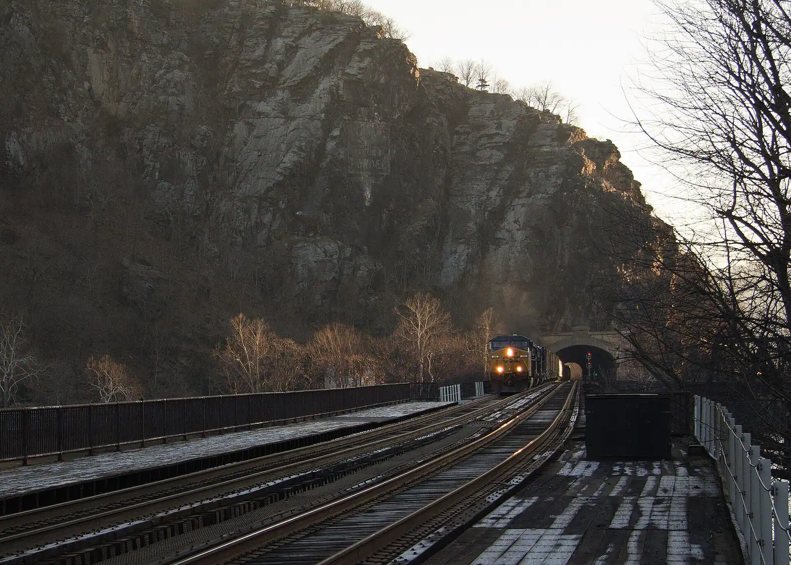
  • Stay off the railway bridge and the tracks. The B&O line is live, freight is frequent, and the pedestrian crossing is the footbridge beside it, not the rails.
  • Bicycles belong on the towpath and the roads, not on the lower-town footways or the stone steps.
  • Three consecutive days means three consecutive days, not three visits. Plan the second morning within the window.

How a town became a federal site

The park exists because the armoury did not survive and the town could not replace it. After 1865 the population fell, the floods kept coming — 1870, 1889, 1924, the record year of 1936, again in 1942 — and by the 1930s the lower town was a half-abandoned collection of damaged buildings on federal-adjacent ground with a national story attached.

Congress authorised a national monument in 1944, and land assembly took most of the following decade. Redesignation as Harpers Ferry National Historical Park came in 1963. Most of what you walk through in the lower town was reconstructed by the Park Service between the 1950s and the 1980s to approximate its 1859 appearance: exterior walls are frequently original, interiors usually are not, and the park is straightforward about the distinction on its panels if you read them.

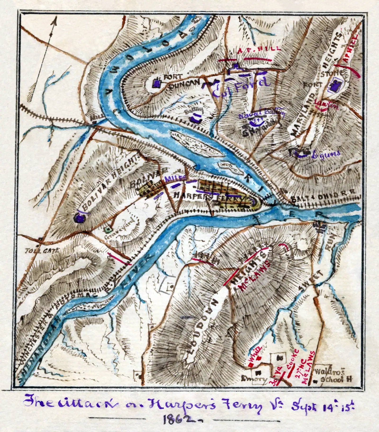
The boundary has grown since. Bolivar Heights, School House Ridge and Murphy Farm came in largely to keep the 1862 siege ground from being built on, and that campaign ran into the 1990s and 2000s against live development proposals. Storer College's campus was acquired in 1962 and has housed the Park Service's own Stephen T. Mather Training Center — one of the service's main training establishments — ever since.

Recorded visitation was 407,008 in 2022. Spread that over a municipality of 269 people and a handful of streets, and the shuttle stops looking like bureaucracy and starts looking like the only way this works at all.

Six parts of one park, and what each takes

How they compare

The boundary is not a circle around a town. It is a set of connected pieces spread over three states, and knowing which is which stops you wasting a morning.

AreaWhereTimeWhy go
Lower townThe confluence, at the shuttle stop2–4 hoursThe exhibit buildings, John Brown's Fort, the armoury lawn, the Point
Camp HillUp the stone steps behind the lower town1–2 hoursJefferson Rock, St Peter's, the Storer College grounds
Virginius IslandUpstream on the Shenandoah, flat path45–75 minIndustrial ruins of a manufacturing island the floods ended
Bolivar HeightsWest of town, its own small car park45 minOpen ridge, the September 1862 surrender ground, easy walking
Maryland HeightsAcross the Potomac, via the footbridge3–4.5 hoursThe strenuous climb and the overlook photograph
Loudoun HeightsAcross the Shenandoah, Virginia side4–5 hoursThe quiet climb. Fewer people, less reward, more solitude

Two further pieces are inside the boundary and rarely walked: Murphy Farm, on the ridge where John Brown's Fort stood between 1895 and 1909, and School House Ridge, where Confederate lines closed on the town in 1862. Both are open ground with interpretive signs and almost nobody on them.

A first visit that tries to take the lower town, Camp Hill and Maryland Heights in one day is a forced march. Take two of the three, or come back on the second day of your three-day ticket.

What was shut when we last checked

Before you book

This park keeps more of itself closed than most, for structural reasons rather than administrative ones. The lower town floods. The record crest is 36.5 feet, set in March 1936, and water has been through these buildings repeatedly since. Every exhibit room at the bottom of the hill is a nineteenth-century structure that takes damage and then waits its turn for money.

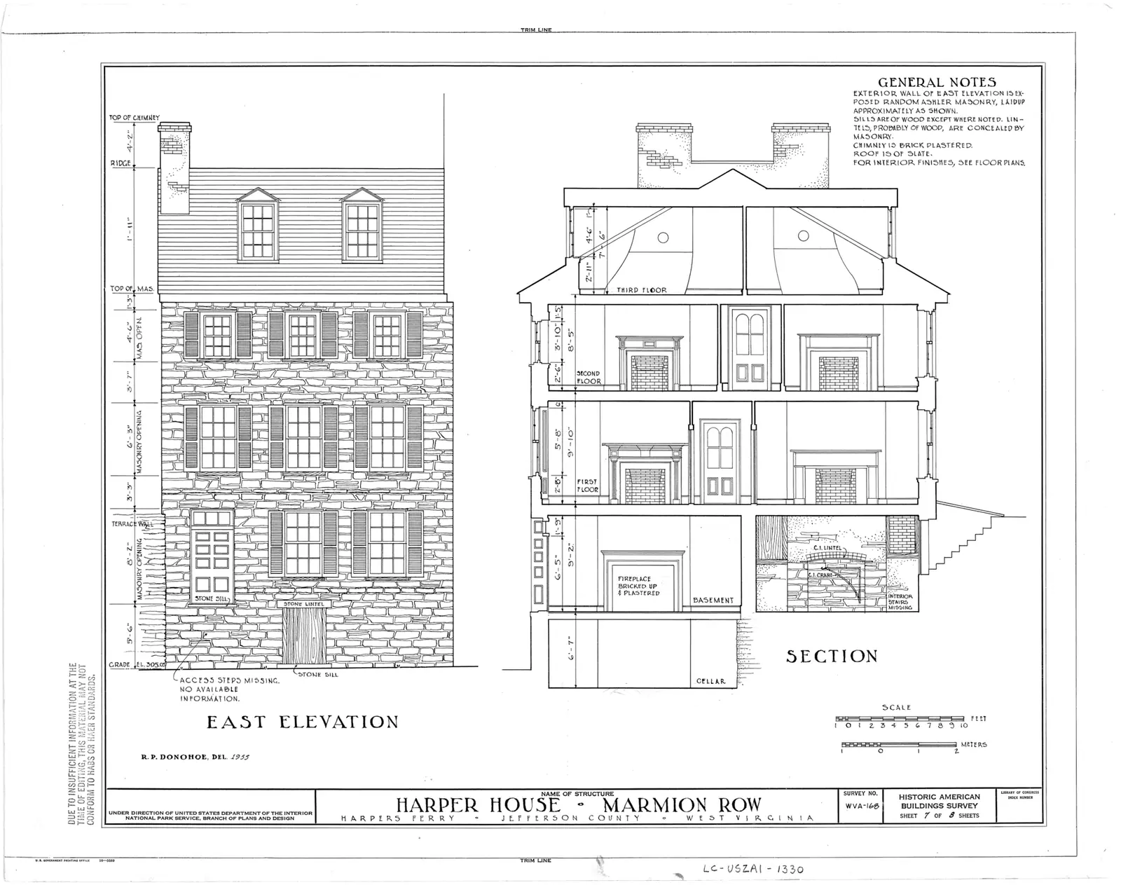
When we checked in September 2026, several lower-town buildings were closed for repairs, among them the Harper House, the Civil War Museum, the Black Voices: African American History exhibit and the Master Armorer's Quarters. Others were open. That list will not be the same when you read this, in either direction.

Separately, the Goodloe Byron Memorial Footbridge — the Appalachian Trail crossing of the Potomac, and the only walking route to Maryland Heights and the C&O towpath — has been affected by reconstruction of the metal stairway that drops from the bridge to the towpath. Work began on 27 July 2026, the bridge has been closed for stretches of it, and while it is shut the Park Service has run a shuttle between C&O Canal Lock 34 and the visitor centre, daily from 9 a.m. to 6.30 p.m., with limited space and no pets. The round trip on that shuttle takes about an hour, which is a serious bite out of a hiking day.

Do not plan a Maryland Heights climb, a towpath walk or a thru-hiker crossing without checking the park's alerts page that morning. This is the one thing on the site we would rather you verified than trusted.

On the ground

Where to go

Every place below has its own page — hours, parking, what it costs and what to expect when you get there.

  • A small town of pale rooftops and a church spire seen from above, wrapped by wooded hills and river water

    Park

    Harpers Ferry National Historical Park

    Three thousand acres across three states, with no gate and no loop road — because most of the park is a working town.

    4–10 hoursAround $20 per private vehicle, $15 per motorcycle or $10 per person on foot, valid three consecutive days

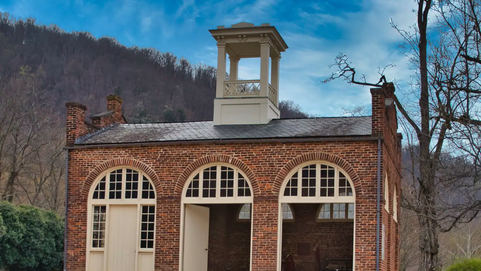
  • A squat brick building with a small square tower and an arched doorway, standing alone on open ground

    Historic site

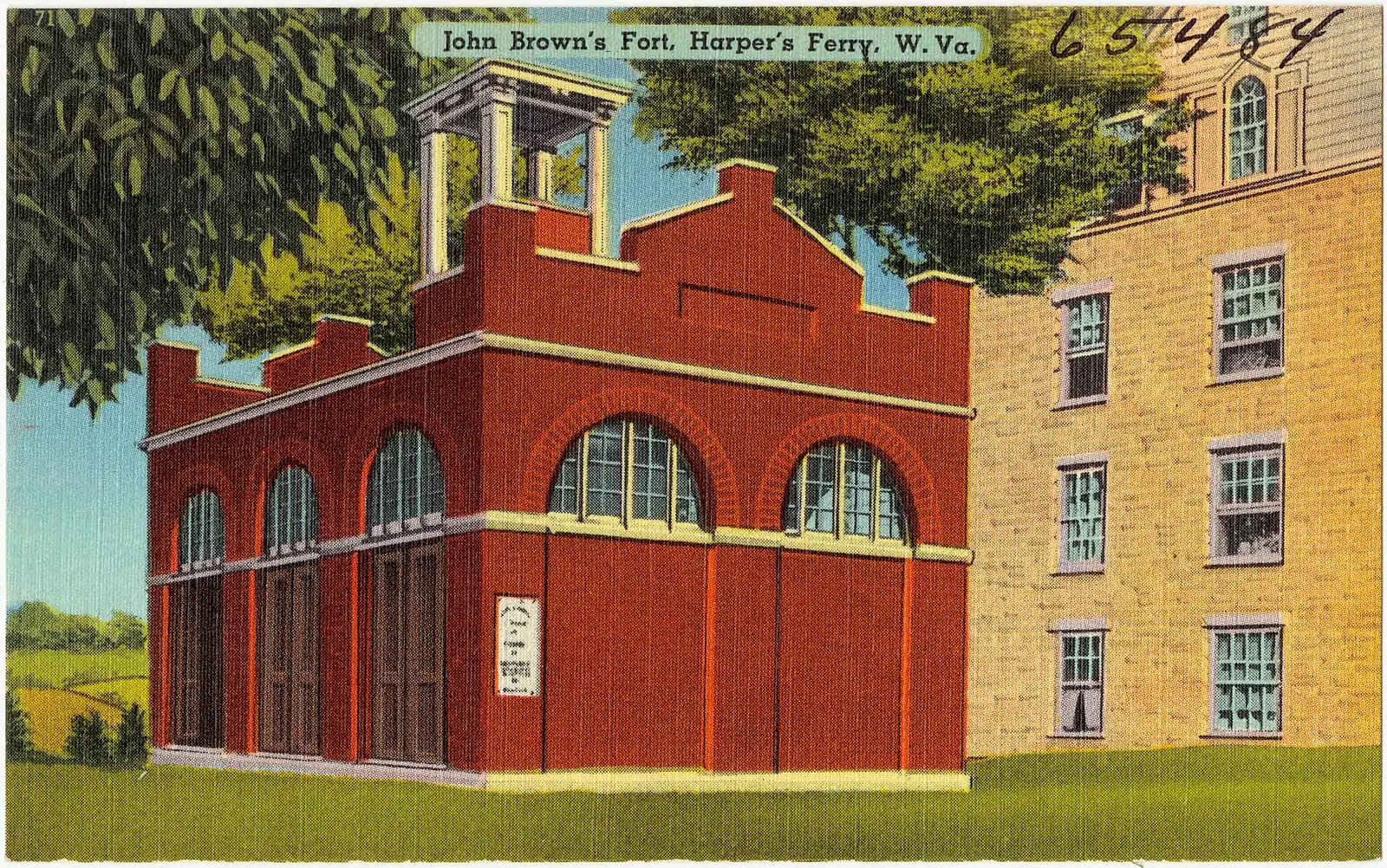
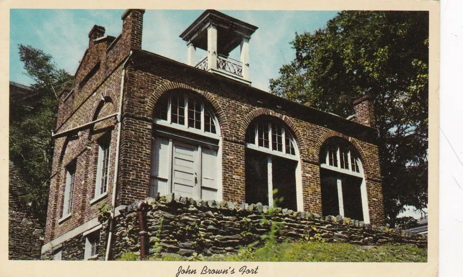
    John Brown's Fort

    An 1848 fire engine house, the only armoury building to survive the war, and it does not stand where any of this happened.

    10–30 minutesCovered by the park entrance fee; no separate charge

  • A small town of pale rooftops and a church spire seen from above, wrapped by wooded hills and river water

    Trail

    Free

    Maryland Heights Trail

    The cliff ledge that produces the photograph everyone has seen of this town, and about a thousand feet of climbing to reach it.

    3–5 hoursNo charge for the trail; the park entrance fee applies to your vehicle

  • A whitewashed stone-walled house on a steep bank, its garden held up by a dry stone retaining wall

    Historic site

    Free

    Storer College

    A college founded to educate people who had been enslaved, closed in 1955 by the consequences of a civil rights victory.

    0.5–1.5 hoursFree; covered by the park entrance fee charged on your vehicle

  • A whitewashed stone-walled house standing on a steep bank above a dry stone retaining wall

    Neighbourhood

    Camp Hill

    The terrace above the lower town: Storer College, the 1906 Niagara Movement meeting, and the view without the queue.

    1–1.5 hoursIncluded with park entrance; the grounds carry no separate charge

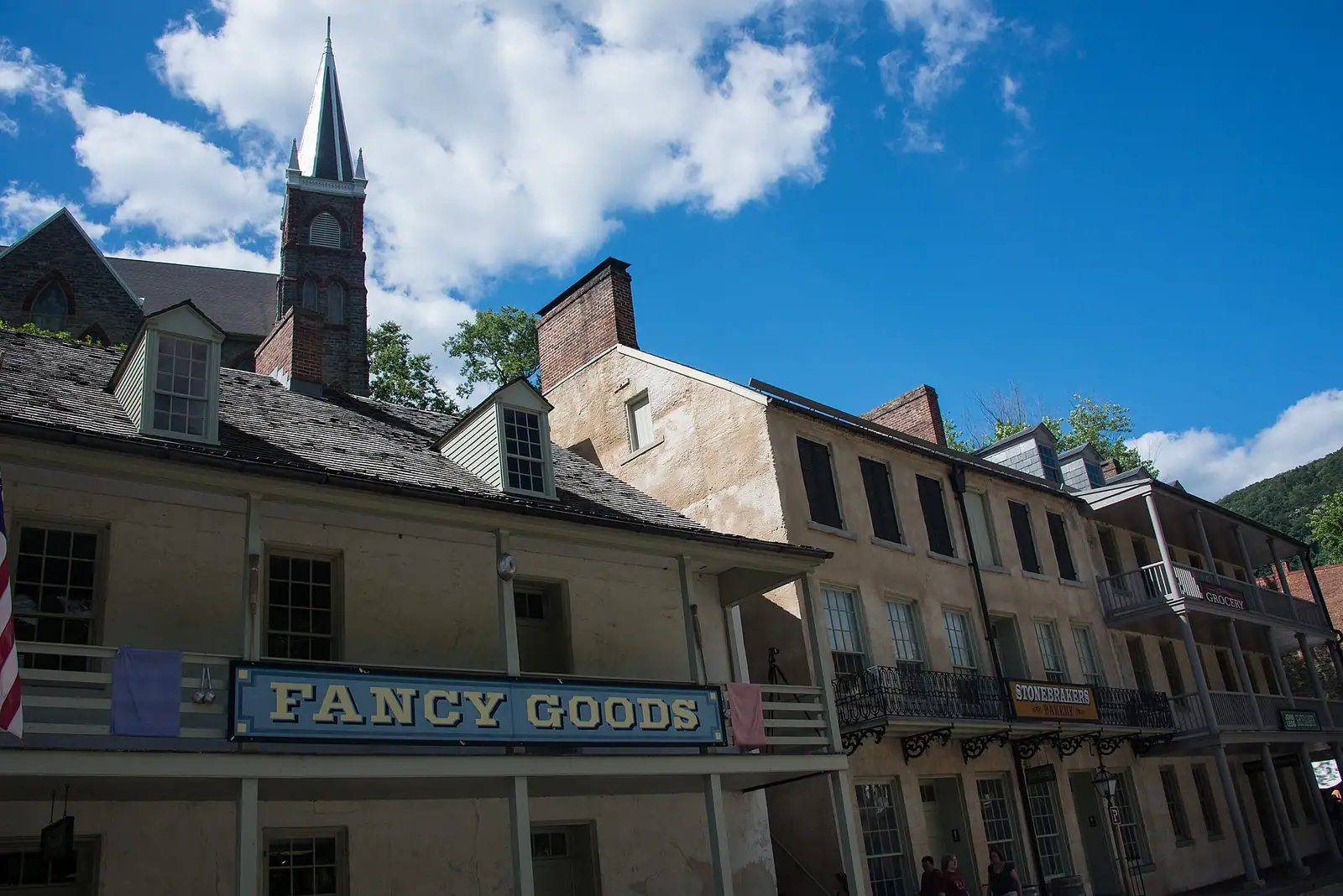
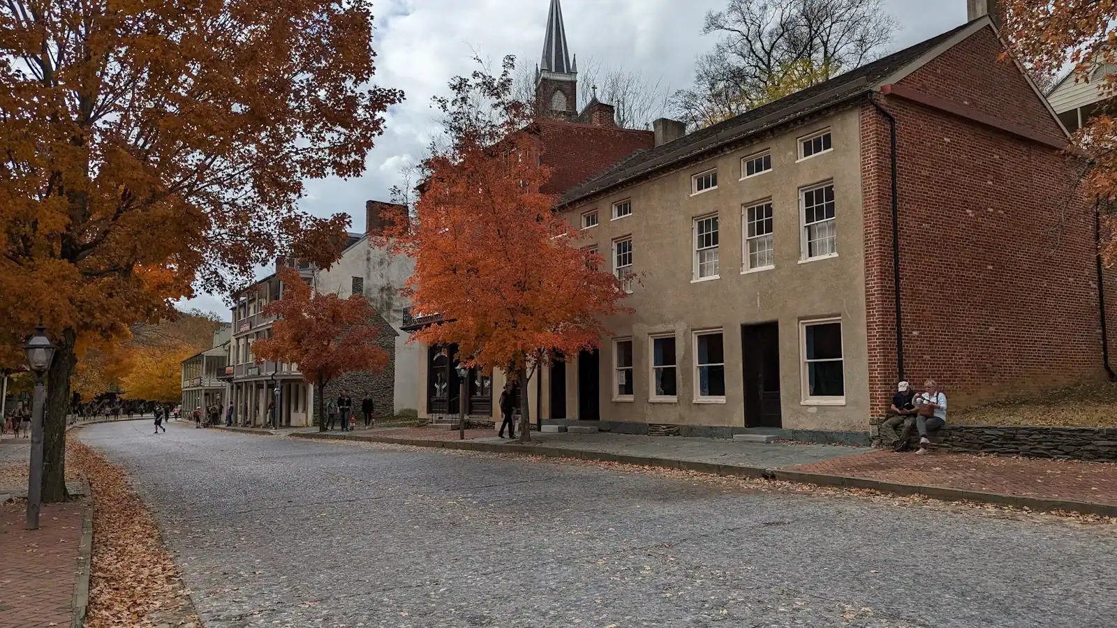
  • A narrow street of nineteenth-century shopfronts running uphill between stone kerbs

    Neighbourhood

    Lower Town Harpers Ferry

    Two streets and a flight of stone steps, all of it inside a national park, with the high-water marks still on the walls.

    2–5 hoursPark entrance fee applies; National Park Service exhibit buildings are then free to enter

  • A street of nineteenth-century shopfronts with stone kerbs running between them

    Historic site

    Shenandoah Street

    The one level street in the lower town: park museums door by door, the shuttle stop, and the restored shopfronts of an 1860s street.

    1–2.5 hoursIncluded with park entrance; the museums along the street carry no separate charge

  • A long steel bridge carrying a walkway across a wide river, with a forested ridge rising behind it

    Viewpoint

    Free

    The Point

    Ninety seconds from the shuttle stop, level the whole way, and the only spot where the town's geography explains itself.

    10–30 minutesFree; covered by the park entrance fee already charged on your vehicle

  • A wide river bending away between steep wooded slopes in full leaf, seen from high ground

    Water feature

    The Potomac River

    The larger of the two rivers, the one that cut the gap through the Blue Ridge, and legally Maryland right up to the West Virginia bank.

    0.5–2 hoursFree to look at; reaching the banks inside the park requires a park entrance fee

  • A steel railway bridge with a walkway along its side crossing a wide river below a wooded ridge

    Landmark

    Free

    Harpers Ferry Train Station

    An 1894 B&O station whose platform sits inside the historic district, served by weekday MARC trains and one Amtrak each way.

    10–30 minutesFree to visit. Rail fares are charged by MARC and Amtrak separately

  • A small town of pale rooftops and a church spire below wooded hills and river water, seen from above

    Landmark

    Cavalier Heights Visitor Center

    The park's only real car park, the fee station and the shuttle stop. Set your navigation here, not to the town.

    20–45 minutesPark entrance at the time of writing: $20 per vehicle, $15 per motorcycle, $10 per person on foot or bicycle, each valid three consecutive days

  • A squat brick building with a small square tower and an arched doorway standing alone on open ground

    Museum

    Black Voices from Harpers Ferry

    The park exhibit on African American Harpers Ferry, from the armoury town to Storer College. Confirm it is open before you plan around it.

    20–45 minutesIncluded with park entrance; no separate charge

  • A whitewashed stone-walled house on a steep bank, its garden held up by a dry stone retaining wall

    Historic site

    Free

    Bolivar Heights

    Flat, open and five minutes from the car park: the battlefield where a Union garrison of 12,500 surrendered in two days.

    1–1.5 hoursNo separate charge; covered by the park entrance fee, which is valid three consecutive days

  • A stone-walled building on a steep bank with a dry stone retaining wall holding up the ground beside it

    Historic site

    Virginius Island

    A vanished factory town on the Shenandoah: mill walls, a canal race and 180 residents, all of it taken by flood.

    0.5–1.5 hoursIncluded with park entrance; no separate charge for the island

  • A walker crossing a river footbridge with a pack on their back, the far bank thick with trees

    Landmark

    Free

    Appalachian Trail Footbridge

    The walkway bolted to a working railroad bridge that carries the Appalachian Trail over the Potomac — closed since July 2026.

    10–25 minutesFree to cross when open; the park entrance fee applies to your vehicle

  • A whitewashed stone-walled house on a steep bank, its garden held up by a dry stone retaining wall

    Historic site

    Free

    Harper House

    The stone house the ferryman never finished, the oldest building in town — and shut for repairs at the moment.

    15–40 minutesNo separate charge when open; covered by the park entrance fee

Straight answers

Questions people actually ask

How much does it cost to enter Harpers Ferry National Historical Park?

When we checked in September 2026 it was $20 for a private vehicle, $15 for a motorcycle and $10 per person arriving on foot or by bicycle aged sixteen and over. Each is valid for three consecutive days and covers the shuttle. A park annual pass was $35 and America the Beautiful passes are accepted. Children under sixteen are free. Confirm current pricing on the park's fee page before you travel.

Does Harpers Ferry National Historical Park take cash?

No. The park is cashless at the entrance station and the visitor centre, and has been for some time. Bring a debit or credit card, or buy an entrance pass online in advance and have the confirmation number ready. This strands somebody at the booth most days, and there is no cash machine at the visitor centre to solve it.

Where do you park at Harpers Ferry?

At the park visitor centre on Cavalier Heights, 171 Shoreline Drive, off US 340. That is the main car park and the shuttle terminus, and the entrance fee covers both. Parking in the lower town is a handful of bays that fill early, on nineteenth-century streets that are not built for it. Enter the visitor centre address into your navigation rather than "Harpers Ferry", which will send you down the hill.

Do you have to take the shuttle at Harpers Ferry?

Not strictly, but the park is designed around it and it is included in your entrance fee. Buses run every ten to fifteen minutes between the Cavalier Heights visitor centre and the lower town, from 9 a.m. until the last return at 7 p.m. in summer or 5.30 p.m. in winter. The alternative is the Visitor Center to Lower Town Trail, about twenty minutes down on foot and a real climb coming back.

What are the opening hours at Harpers Ferry National Historical Park?

Three different sets. Museums, exhibit buildings and lower-town restrooms run 9 a.m. to 5 p.m. Trails and parking lots open thirty minutes before sunrise and close thirty minutes after sunset. The shuttle runs 9 a.m. to 7 p.m. under daylight saving time and 9 a.m. to 5.30 p.m. under standard time, measured by the last bus out of the lower town. The park closes on Thanksgiving, 25 December and 1 January.

Can you bring a dog to Harpers Ferry National Historical Park?

Dogs are welcome on the park's trails and grounds on a lead, but they are not allowed on the shuttle buses — only service animals working in their capacity may board. That is the catch. With a dog you park at the visitor centre and walk down the Visitor Center to Lower Town Trail and back up, which is fine in cool weather and hard work in July. Dogs cannot go inside the exhibit buildings.

How long do you need at Harpers Ferry National Historical Park?

Four to five hours covers the lower town exhibit buildings, John Brown's Fort, the armoury grounds and the Point at a reading pace. Add the Camp Hill climb to Jefferson Rock and Storer College and you are at a full day. Maryland Heights is three to four and a half hours on its own. Your ticket is good for three consecutive days, and two half-days here beat one forced march.

Is the Harpers Ferry footbridge open?

Check before you go. Reconstruction of the metal stairway connecting the Goodloe Byron Memorial Footbridge to the C&O Canal towpath began on 27 July 2026, and the bridge has been closed for stretches of that work. While it is shut, the Park Service has run a shuttle between C&O Canal Lock 34 and the visitor centre, daily 9 a.m. to 6.30 p.m., with limited space and no pets. That bridge is the only walking route to Maryland Heights.

Is Harpers Ferry National Historical Park wheelchair accessible?

Partly. Shenandoah Street along the water is level for several hundred yards and takes in the armoury lawn, John Brown's Fort and the Point, and the shuttle buses carry ramps or lifts. Above that the town is steep, with stone steps and no step-free route to Camp Hill or Jefferson Rock. Bolivar Heights, with its own car park and a wide near-level track to open views, is the easiest ground in the park.

Is the national park the same as the town of Harpers Ferry?

Almost, and that is the unusual thing about the place. The park covers about 3,660 acres in West Virginia, Maryland and Virginia, and the historic lower town at the confluence sits inside the boundary, shops and all. The residential municipality of 269 people and the neighbouring town of Bolivar are separate, and shops and restaurants up the hill are outside the fee area.