Skip to content
Menu

A booking made through these earns us a commission from Viator. The price is the same, and the commission had no bearing on what is recommended.

Park

Harpers Ferry National Historical Park

Last updated

Three thousand acres across three states, with no gate and no loop road — because most of the park is a working town.

Photo: Robert Knox SnedenPublic domain

Closed at the moment

The Goodloe Byron Memorial Footbridge closed on 27 July 2026 for stairway construction, which affects the walking route to the C&O towpath and the Maryland Heights trailhead. Several lower-town exhibit buildings are also shut for repairs. Check the park's current conditions page the week you travel.

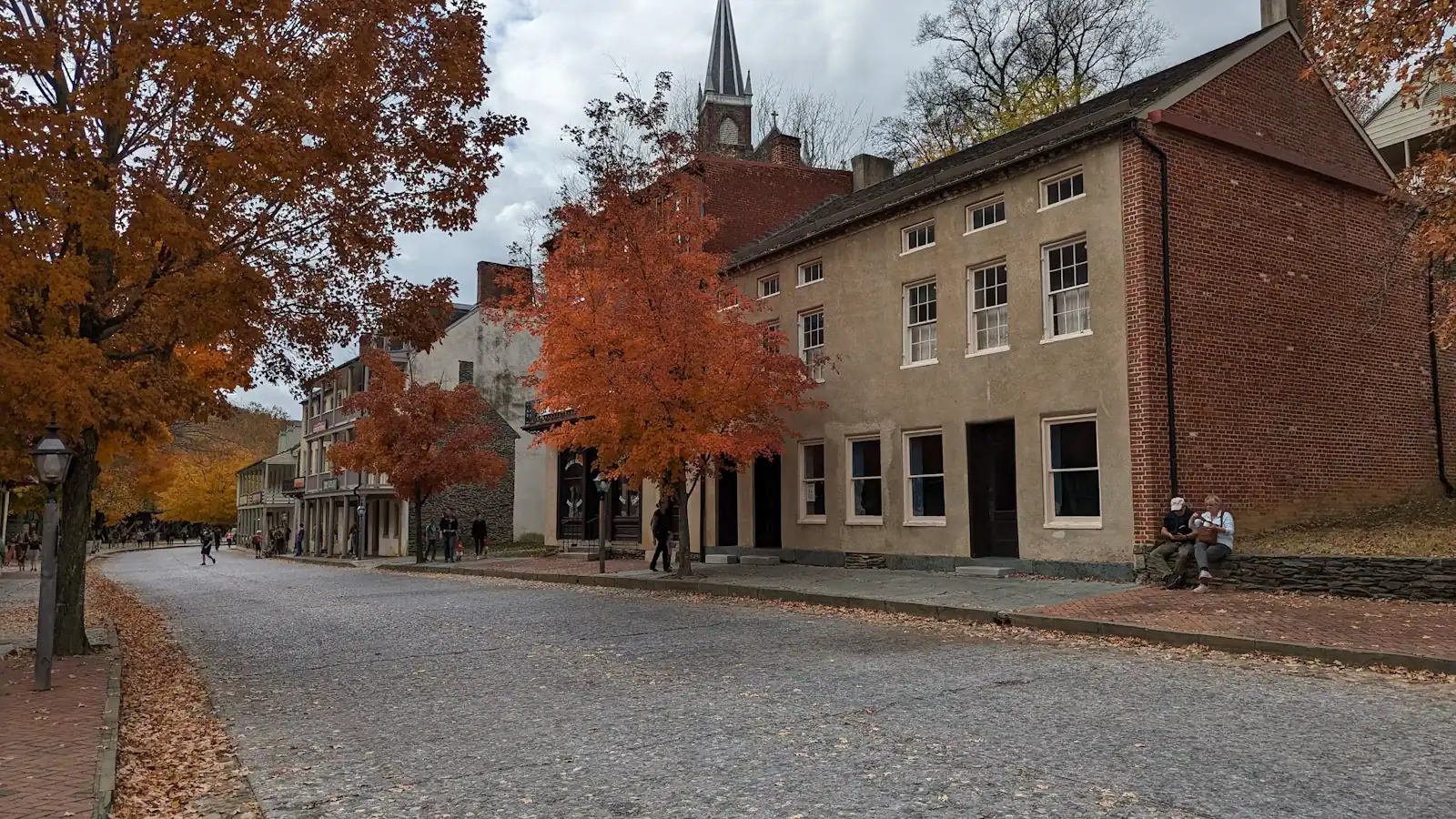
Most national parks are somewhere you drive into. This one is a town you walk around in, and that difference decides the whole day. The park covers roughly 3,660 acres across West Virginia, Maryland and Virginia, but very little of it reads as parkland. The shopfronts on Shenandoah Street sit inside the boundary. So do the stone steps up to Jefferson Rock, the old Storer College buildings on Camp Hill, the earthworks out at Bolivar Heights and Schoolhouse Ridge, and a long strip of the Maryland bank on the far side of the Potomac. There is no entrance arch and no scenic drive. There is a bus.

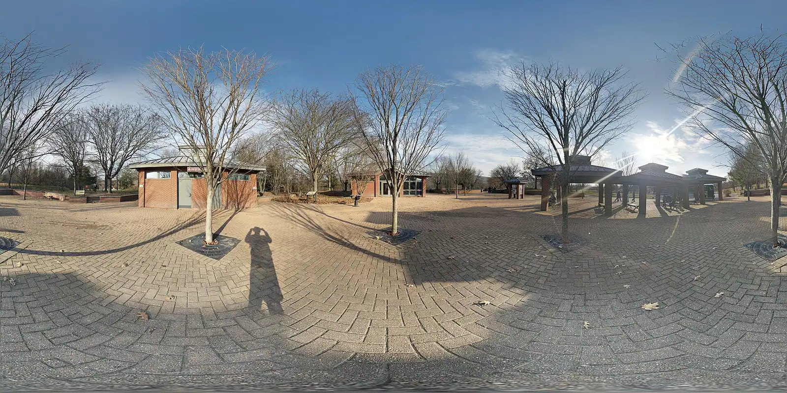
Which is the thing to get right before you set off. The lower town has almost no visitor parking, and the handful of private lots down there fill early and are not a plan. The park's own visitor centre stands up on Cavalier Heights at 171 Shoreline Drive, straight off US 340, and shuttle buses run from it to the lower town every ten to fifteen minutes on every day the park is open. Satellite navigation routinely ignores all of this and routes people down the hill into streets with nowhere to stop; the park warns about it on its directions page. Set the destination to Shoreline Drive, park once, and ride down.

The fee is charged per vehicle rather than per person and is currently good for three consecutive days. The park is cashless — card or digital payment only, stated plainly on its fee page, and it catches out more visitors than any other rule here. Museums and lower-town restrooms keep nine to five. Trails and parking lots open half an hour before sunrise and shut half an hour after sunset. The gates close entirely on Thanksgiving, Christmas Day and New Year's Day.

It was declared a national monument on 30 June 1944 and redesignated a national historical park by Congress in 1963. Just over 407,000 people came through in 2022 — modest against Shenandoah or Great Smoky Mountains, enormous for a place with 269 residents. What they come for is layered and uncomfortable: a federal armoury that turned out more than 600,000 firearms, the raid that tried to seize it, the largest surrender of a United States garrison until the Second World War, and a college founded here to educate people who had been enslaved.

Getting there and parking

Drive to the visitor centre, not to the town. From Frederick, Maryland, take US 340 south-west for about twenty miles, cross the Potomac and then look for the park entrance signed on the right at Cavalier Heights. From Leesburg and northern Virginia, Route 9 to Keys Gap and then US 340 north. From Charles Town it is eight miles east on US 340.

Set your satellite navigation to 171 Shoreline Drive, Harpers Ferry. Set it to the town and it will take you down the hill into the lower town, where there is nowhere to leave a car. The park says so on its own directions page and it remains the commonest mistake made here.

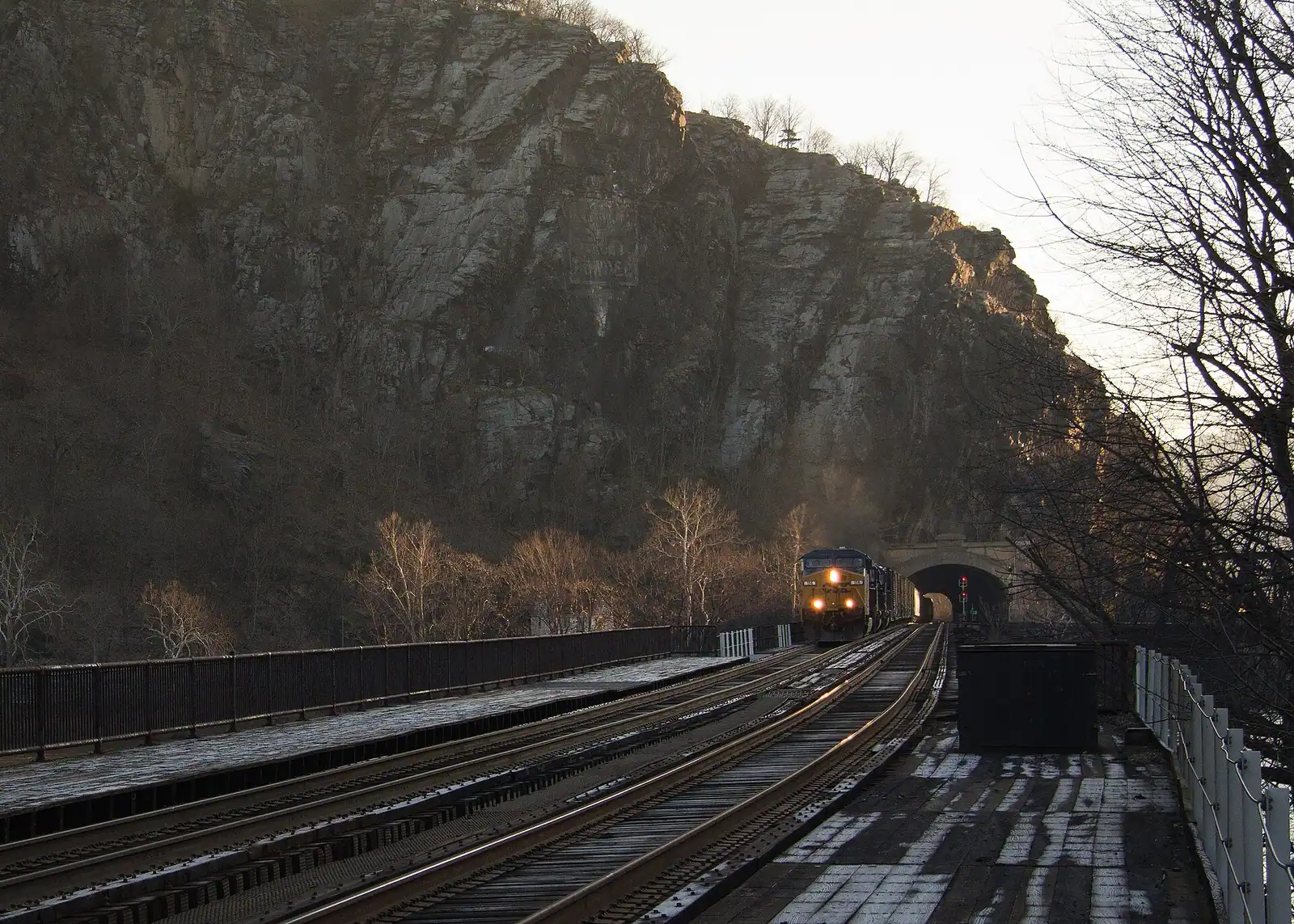
Arriving by rail, the station platform is in the lower town itself at the West Virginia end of the railroad bridge, so you skip the shuttle entirely and pay the per-person entrance rate. MARC's Brunswick Line runs on weekdays only and largely in the commuter peak direction; Amtrak's Floridian calls once each way daily. Check the current timetable before you build a day around it.

Park once, on Cavalier Heights

The visitor centre lot on Cavalier Heights is the park's main parking area and, for practical purposes, the only one sized for visitors. It sits directly off US 340 at 171 Shoreline Drive, about two miles by road from the lower town and several hundred feet above it.

Shuttles run between that lot and the lower town every ten to fifteen minutes on every day the park is open. First departure is at nine in the morning. The last bus back up from the lower town leaves at seven under daylight saving time and at half past five under standard time, which is the detail people miss when they visit in December and assume they have until dark. There are only two stops on the route, so there is nothing to work out.

Riding it is covered by the entrance fee. The buses carry ramps or lifts. Pushchairs must be folded before boarding, pets other than service animals are not allowed aboard, and neither are coolers or open food and drink.

On summer Saturdays and through October the lot fills by the middle of the morning and a queue forms behind it. Arriving on the nine o'clock bus is worth a great deal more here than it sounds.

If you would rather not take the bus at all, the Visitor Center to Lower Town Trail walks down instead. It is a pleasant descent and an honest climb coming back.

What the fee covers, and the cashless rule

Entrance is currently $20 for a private vehicle, $15 for a motorcycle, or $10 per person arriving on foot or by bicycle. Each of those is valid for three consecutive days rather than one, which makes a two-day visit considerably better value than most people assume. Under-16s enter free. A park-specific annual pass runs $35, and the America the Beautiful interagency passes are accepted.

The park does not accept cash. Card or digital payment only, at the entrance station and at the visitor centre. This is published on the park's fee page and it is the single most common way an arrival goes wrong.

The fee covers the shuttle, every National Park Service exhibit building in the lower town, John Brown's Fort, all the trails, and the battlefield sites out at Bolivar Heights and Schoolhouse Ridge. It does not cover the privately run museums and attractions in town, which charge separately, or anything you book with a river outfitter.

Arriving by train you pay the per-person rate rather than the vehicle rate, which is one of several small ways the rail option works out cheaper than it looks.

Fee schedules get revised. Check the park's own page before you travel rather than trusting any figure quoted on a site like this one, including ours.
Five parts of one park

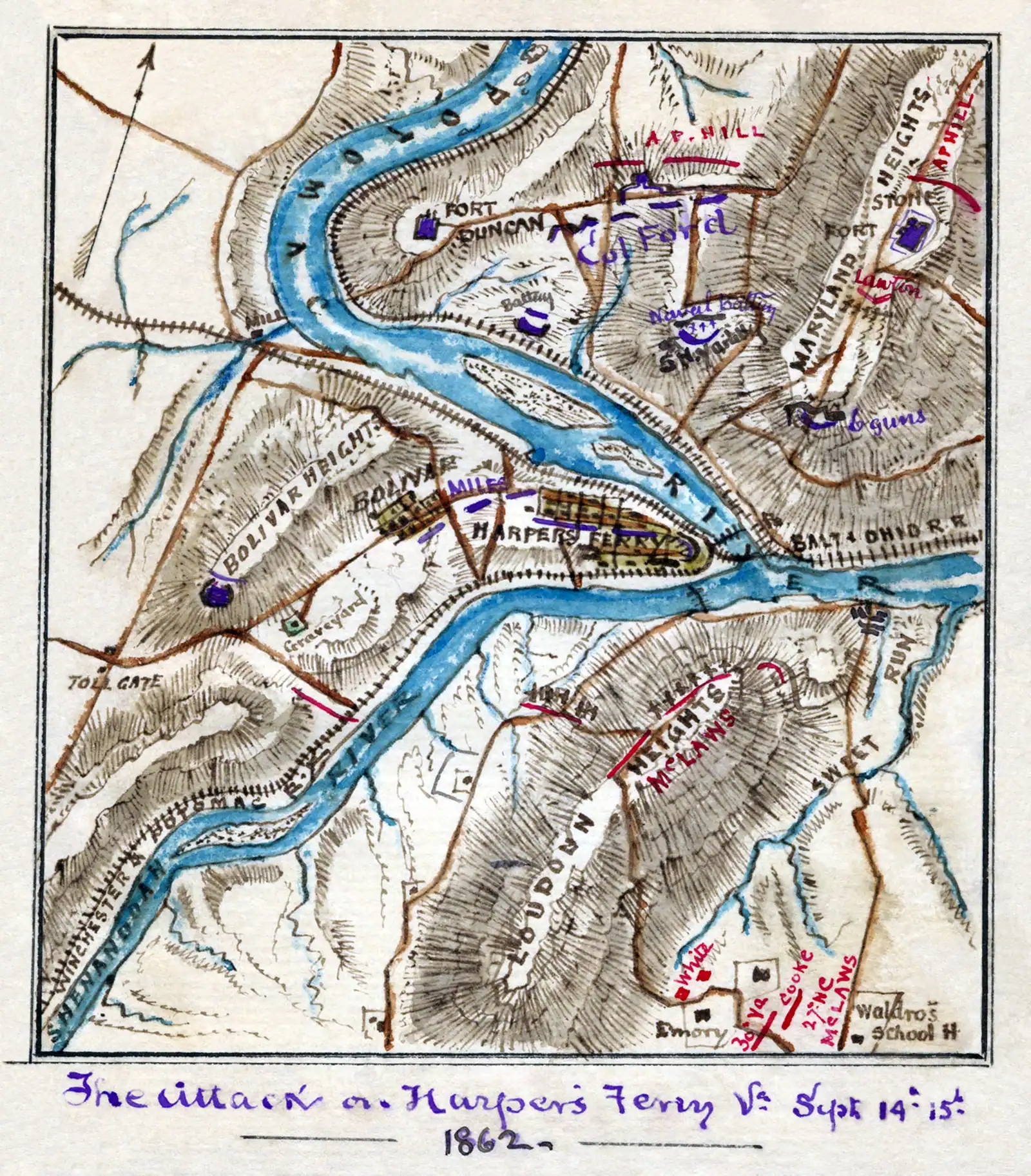
The lower town. Shenandoah Street, High Street and the ground at the confluence. Museums, exhibit buildings, John Brown's Fort and the ruins along the water. This is where the shuttle drops you and where most visitors spend the bulk of the day.

Camp Hill. The terrace above the lower town, reached by stone steps past St Peter's. The old Storer College campus, the Lockwood House, and the quietest ten minutes in the park.

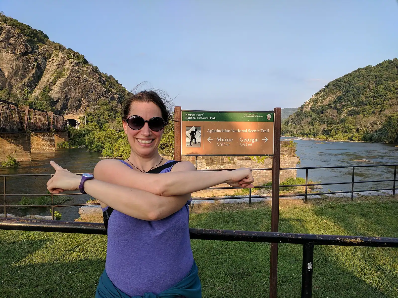
The Maryland side. Across the Potomac: the C&O Canal towpath running along the bank, and the Maryland Heights trail climbing from it to the overlook that produces the photograph everyone has seen of this town.

The western ground. Bolivar Heights, Schoolhouse Ridge and Murphy Farm, out past the visitor centre. Open, flat, mostly empty, and where the 1862 surrender happened. You drive to these rather than walking.

Loudoun Heights. The Virginia ridge across the Shenandoah, climbed by the Appalachian Trail and by far the least visited of the three heights.

Nobody does all five in a day. A first visit that covers the lower town, Camp Hill and one set of heights has done the place properly.

What is shut right now, and why that matters here

This park closes things more often than most, because it is a collection of nineteenth-century buildings in a river gorge with a railway running through it. Assume something on your list is unavailable and check the park's current conditions page the week you go.

As of late September 2026 the park listed the Harper House, the Civil War Museum, the Black Voices: African American History exhibit and the Master Armorer's House as closed for repairs. Fifteen other lower-town exhibit spaces were open, including John Brown's Fort, the Industry Museum and White Hall Tavern.

The Goodloe Byron Memorial Footbridge over the Potomac closed on 27 July 2026 for construction work on its stairway. That is the crossing the Appalachian Trail uses and the usual walking route to the C&O towpath and the Maryland Heights trailhead. The Maryland Heights trail itself stays open; the approach to it does not, and the park has been directing walkers to alternative routes.

The southern loop at Schoolhouse Ridge South is closed for sinkholes, and the Lower Town Information Center has been running without a ranger on duty, with maps available at the Place in Time exhibit instead.

High water shuts the lower town and the towpath outright, sometimes for days. That is not unusual here. It is the normal behaviour of this valley.

Why so little of the original town survives

Walk the lower town and you will notice how much of it is foundations, retaining walls and gaps. The armoury that made this place has effectively vanished; its ground is under a railroad embankment. The explanation is water.

The Potomac crested at 36.5 feet here in March 1936, the record, and at 33.8 feet in October 1942. The 1936 flood finished off habitation on Virginius Island, the industrial island in the Shenandoah that had carried mills, a rifle factory, a tannery and around 180 residents at its peak. A further flood in 1996 shut the island to visitors until 2003.

This is why the National Park Service stabilises ruins here rather than rebuilding. Reconstructing a mill that the river has taken three times is not preservation, it is optimism. What you are looking at on Virginius Island and along the Shenandoah bank is a deliberate decision to keep the wreckage legible.

It also explains the town's population curve: 1,747 residents in 1850, 269 at the 2020 census. The armoury never came back after the Civil War, the floods kept arriving, and what was left became first a college town and then a park.

Near The National Park

Straight-line distances, so allow more on the road — the island is long and has one main parkway.

  • A small town of pale rooftops and a church spire below wooded hills and river water, seen from above

    Landmark

    Cavalier Heights Visitor Center

    The park's only real car park, the fee station and the shuttle stop. Set your navigation here, not to the town.

    20–45 minutesPark entrance at the time of writing: $20 per vehicle, $15 per motorcycle, $10 per person on foot or bicycle, each valid three consecutive days1.4 mi away

  • A narrow street of nineteenth-century shopfronts running uphill between stone kerbs

    Neighbourhood

    Lower Town Harpers Ferry

    Two streets and a flight of stone steps, all of it inside a national park, with the high-water marks still on the walls.

    2–5 hoursPark entrance fee applies; National Park Service exhibit buildings are then free to enter510 ft away

  • A long steel bridge carrying a walkway across a wide river, with a forested ridge rising behind it

    Viewpoint

    Free

    The Point

    Ninety seconds from the shuttle stop, level the whole way, and the only spot where the town's geography explains itself.

    10–30 minutesFree; covered by the park entrance fee already charged on your vehicle1,000 ft away

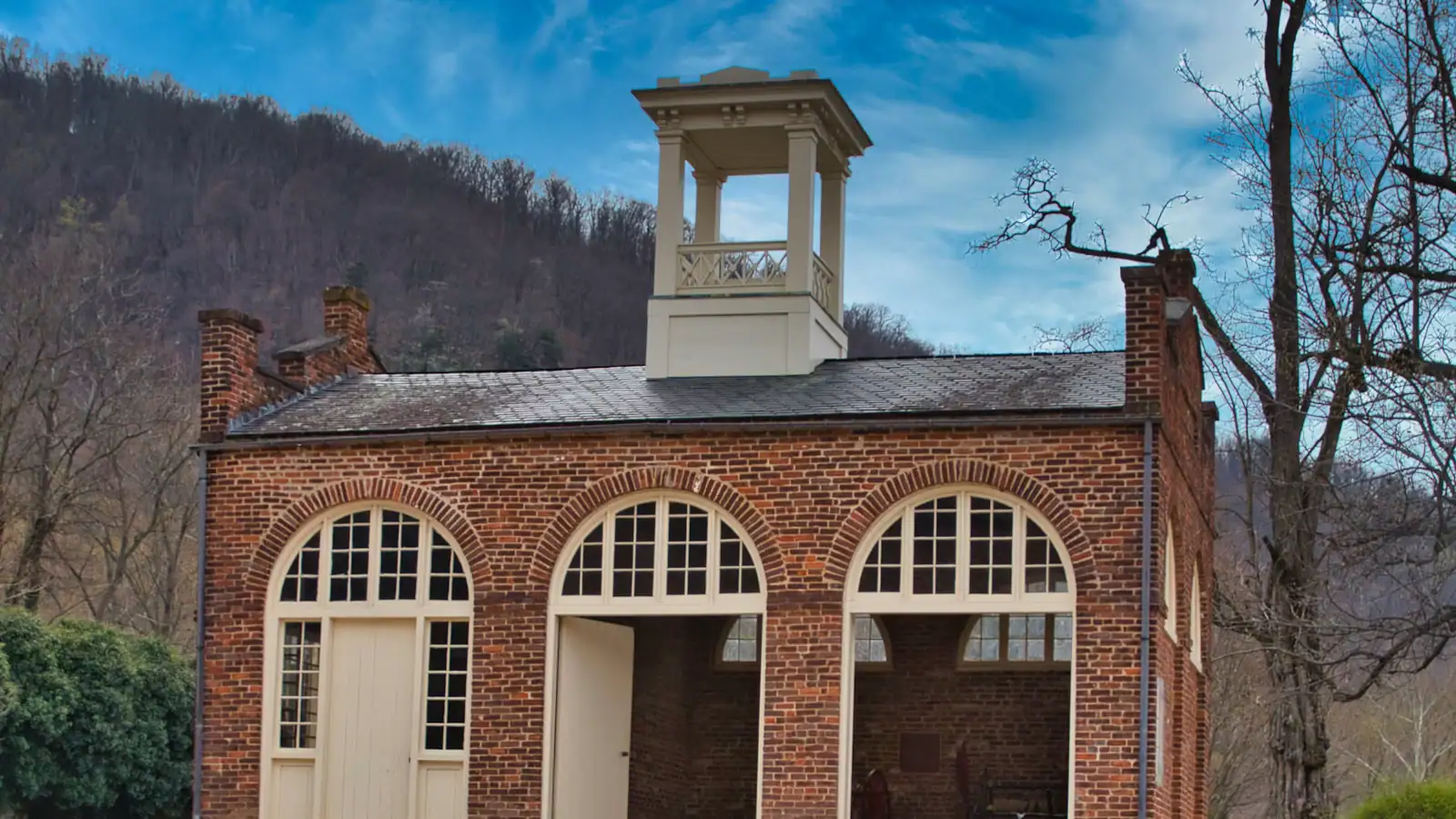
  • A squat brick building with a small square tower and an arched doorway, standing alone on open ground

    Historic site

    John Brown's Fort

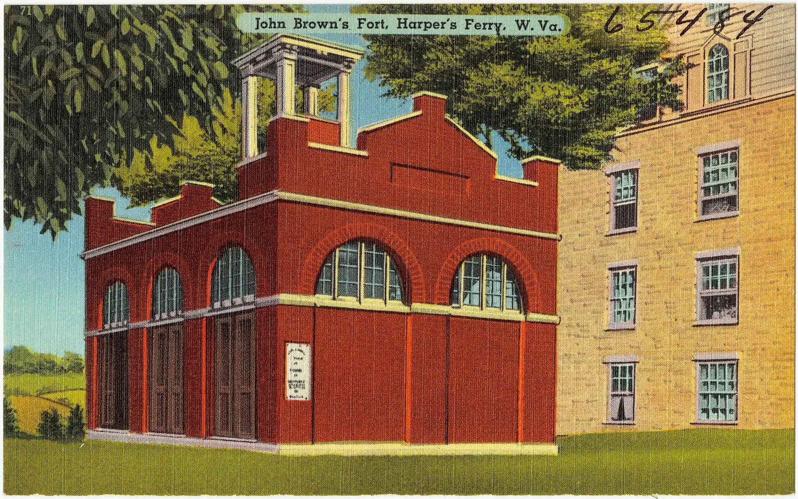
    An 1848 fire engine house, the only armoury building to survive the war, and it does not stand where any of this happened.

    10–30 minutesCovered by the park entrance fee; no separate charge590 ft away

The National Park: common questions

How much does it cost to get into Harpers Ferry National Historical Park?

Currently $20 for a private vehicle, $15 for a motorcycle, or $10 per person arriving on foot or by bicycle, and each of those is good for three consecutive days rather than one. Under-16s are free. A park annual pass is about $35 and the America the Beautiful passes are accepted. The important operational detail is that the park is cashless: card or digital payment only, at the entrance station and the visitor centre. Fee schedules change, so check nps.gov/hafe before you set off.

Where do you park at Harpers Ferry?

At the visitor centre on Cavalier Heights, 171 Shoreline Drive, directly off US 340. That lot is the park's main parking area and effectively the only one built for visitors. From there a shuttle runs down to the lower town every ten to fifteen minutes, included in your entrance fee, with the first bus at nine in the morning. The lower town itself has almost no visitor parking. Type the street address into your navigation rather than the name of the town, or it will route you down the hill.

How long do you need at Harpers Ferry?

Four to five hours covers the lower town, John Brown's Fort, the stone steps up to Jefferson Rock and a walk along Camp Hill. Add a strenuous climb such as Maryland Heights and you are looking at a full day, eight hours or more including the shuttle at both ends. Because the entrance fee runs three consecutive days, splitting it across two mornings costs nothing extra and is the more comfortable way to do it in July heat.

Is Harpers Ferry National Historical Park open in winter?

Yes. The park runs year-round and closes only on Thanksgiving, Christmas Day and New Year's Day. Museums keep nine to five through the season and the shuttle switches to its standard-time schedule, with the last bus back from the lower town at half past five rather than seven. Winter is genuinely a good time to come — the leaves are off, so the view from Jefferson Rock and the ridgelines above the town open up in a way they never do in August. Ice on the stone steps and the switchbacks is the real hazard.

Can you visit Harpers Ferry without a car?

More easily than at almost any other American national park. The 1894 station platform sits inside the lower town at the West Virginia end of the railroad bridge, so you step off the train into the historic district and never need the shuttle. MARC's Brunswick Line serves it on weekdays only and mostly in the commuter peak direction, and one Amtrak Floridian calls in each direction daily. Read the current timetable first: the service is real, the frequency is not. Arriving on foot you pay the per-person entrance rate.