Skip to content
Menu

A booking made through these earns us a commission from Viator. The price is the same, and the commission had no bearing on what is recommended.

Neighbourhood

Lower Town Harpers Ferry

Last updated

Two streets and a flight of stone steps, all of it inside a national park, with the high-water marks still on the walls.

Photo: jpmueller99 from Shenandoah Valley of VA, USACC BY 2.0

Closed at the moment

Four park exhibit spaces were closed for repairs in late September 2026: the Harper House, the Civil War Museum, the Black Voices exhibit and the Master Armorer's House. Fifteen others remained open.

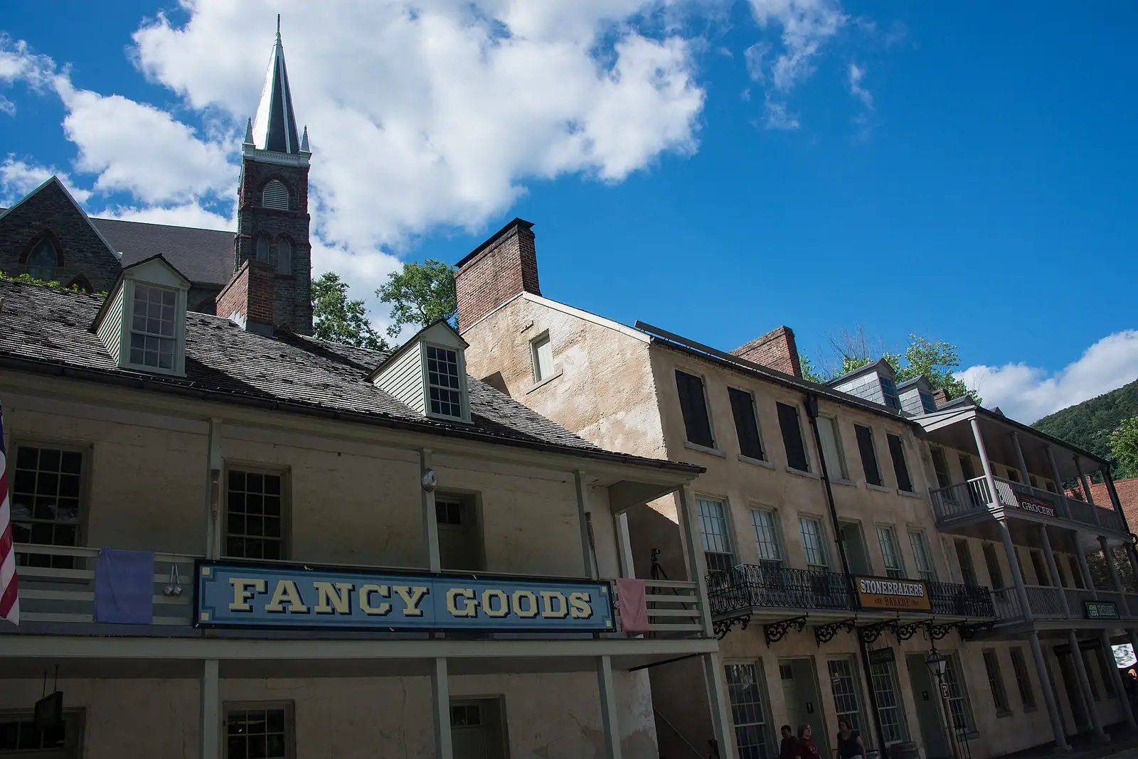
The historic district of Harpers Ferry is smaller than its reputation and stranger in arrangement. You can walk it end to end in fifteen minutes. It is also, almost entirely, inside a national park — which means the nineteenth-century shopfront selling you an ice cream is a private business operating within a federal boundary, on a street where the building next door is a National Park Service exhibit you enter on your entrance fee. There are not many places in the country set up this way.

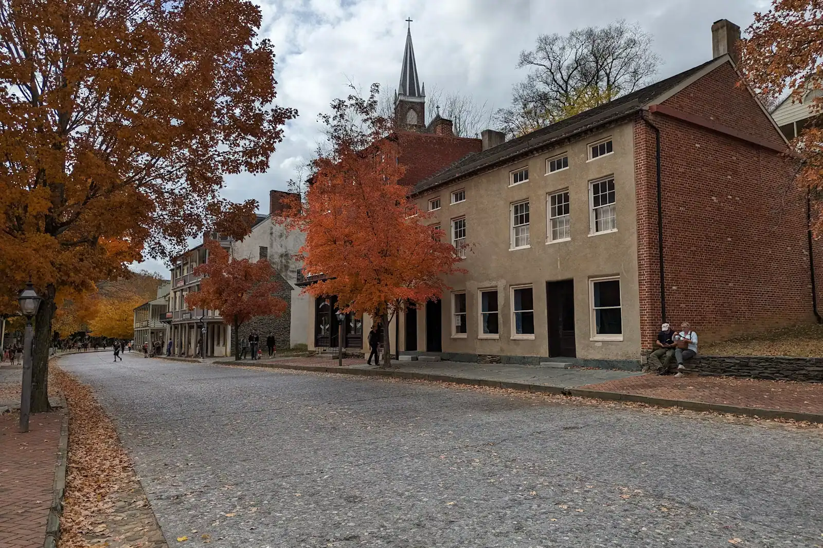
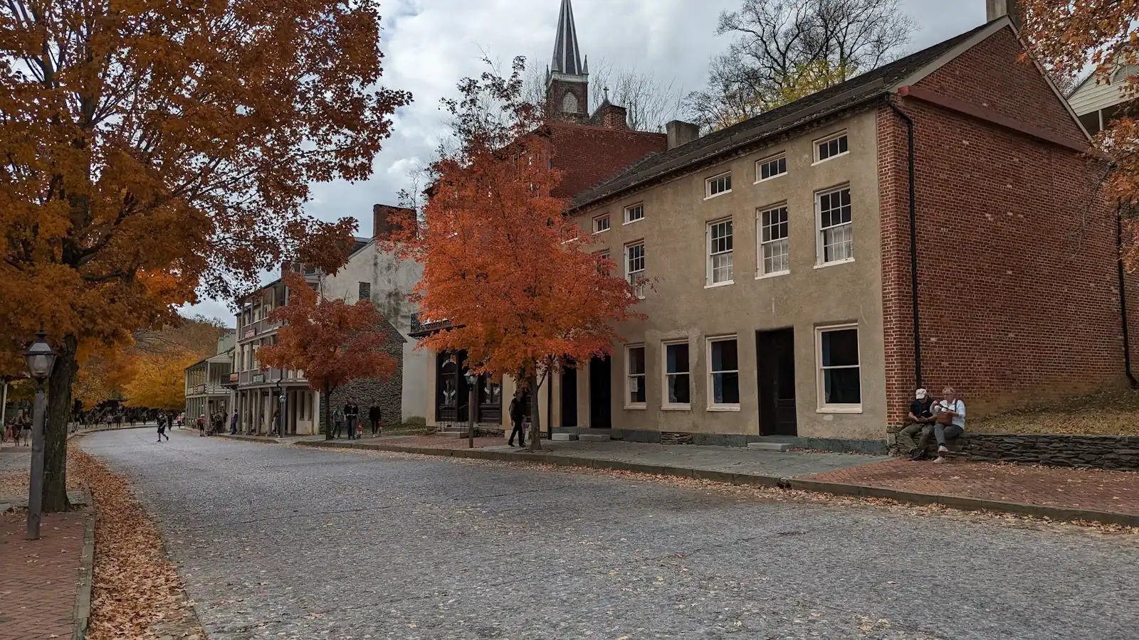
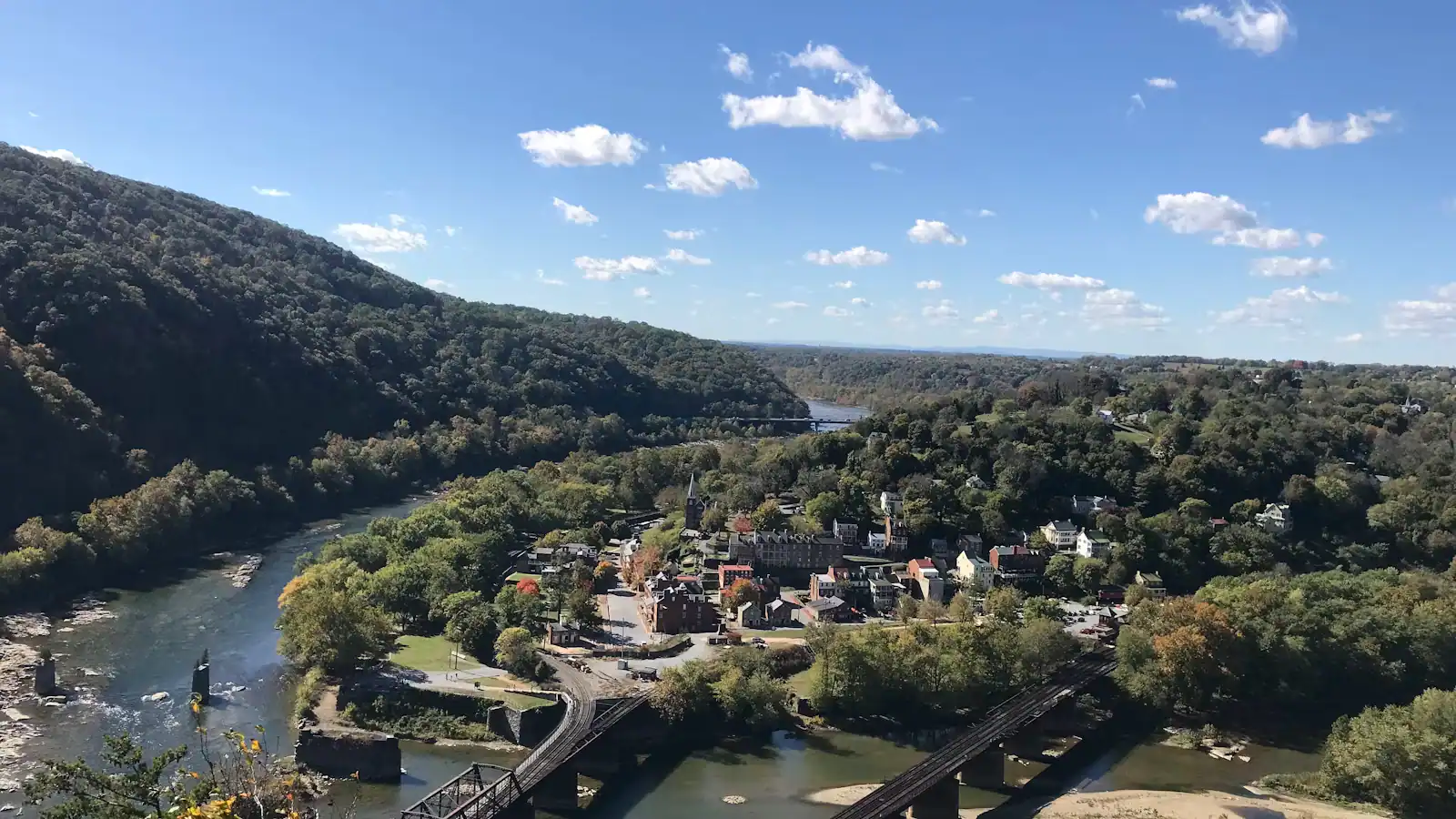
The layout is simple once you see it. Shenandoah Street runs flat along the water from the shuttle drop-off to The Point at the confluence, and carries most of the exhibit buildings. High Street climbs steeply away from it, lined with shops, cafés and the privately run museums. At the top of High Street, stone steps cut in 1810 take you up past St Peter's Catholic Church, the roofless shell of St John's Episcopal, Jefferson Rock and out onto Camp Hill. That is the whole thing: one flat street, one steep street, one staircase.

The surfaces are the age they look. Worn stone, brick, cobble, uneven kerbs, no consistent gradient and, on High Street, a slope that surprises people who have only seen photographs. Proper shoes matter far more here than distance does.

What makes the lower town worth slow walking rather than quick ticking is how much of it is absence. Foundations without buildings. Retaining walls holding up ground that no longer carries anything. Gaps between houses where the armoury stood. The river has taken this town repeatedly — the Potomac crested at 36.5 feet in March 1936 and 33.8 feet in October 1942 — and the high-water marks recorded on the walls tell you the story faster than any panel.

There were 1,747 people living here in 1850. There were 269 at the 2020 census. Everything you are walking past is what is left after an armoury closed, a war came through, and the water kept arriving.
Getting there and parking

The shuttle from the visitor centre on Cavalier Heights, which is how the park expects you to arrive and how most visitors should. Buses run every ten to fifteen minutes and drop you at the edge of the district; the whole of the lower town is then on foot.

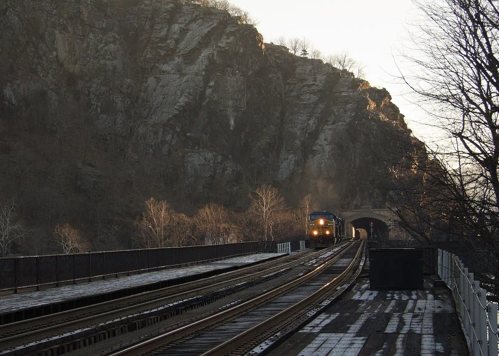
By train, straight onto the platform at the West Virginia end of the railroad bridge, which is inside the district. MARC's Brunswick Line runs weekdays only and largely in the commuter peak direction, and one Amtrak Floridian calls each way daily. The platform is not step-free.

On foot from the visitor centre, the Visitor Center to Lower Town Trail descends through the woods. Pleasant going down, a genuine climb coming back.

By car, do not. Visitor parking in the lower town is close to non-existent and the small private lots fill early. Satellite navigation will still try to take you down the hill; the park warns about it, and it is the commonest way a day here starts badly.

Read the walls before you read the panels

The most efficient piece of interpretation in Harpers Ferry is not a sign. It is the set of high-water marks recorded on building walls in the lower town, each one showing where the river reached in a given flood.

Find them and look up. Then look at where you are standing. The March 1936 crest of 36.5 feet is above adult head height in places — the whole of Shenandoah Street under water, shopfronts submerged, the ground floor of the district gone. October 1942 reached 33.8 feet. Another flood in 1996 shut Virginius Island to visitors until 2003.

This is not a nineteenth-century problem that got solved. It happens on a current schedule, usually after sustained rain in the Shenandoah valley upstream, and the park closes the lower town and the towpath when it does.

It also explains the architecture. Buildings here were rebuilt, raised, abandoned and rebuilt again, and the National Park Service stabilises ruins rather than reconstructing them, because putting a mill back on ground the river has cleared three times is not preservation.

Once you have seen the marks, the gaps in the streetscape stop reading as neglect and start reading as a record.

What is open, and what is shut

This is a district of old buildings in a flood plain with a railway through it, so something is usually closed. Check the park's current conditions page in the week you visit.

As of late September 2026, four exhibit spaces were shut for repairs: the Harper House, the Civil War Museum, the Black Voices: African American History exhibit and the Master Armorer's House. Fifteen others were open, including John Brown's Fort, the Industry Museum and White Hall Tavern.

The Lower Town Information Center has been running without a ranger on duty. Maps and information have been available at the Place in Time exhibit instead, and the staffed desk is up at the visitor centre on Cavalier Heights — worth knowing if you like to start with a conversation.

Park exhibit buildings keep nine to five. The streets themselves are open from half an hour before sunrise to half an hour after sunset, so an early or late walk through an empty lower town is entirely possible and is the best hour of the day here.

Private shops, cafés and museums set their own hours, and several cut back to weekends between January and March. Do not build an afternoon around a specific one without checking.

A shopping street inside a national park

High Street is where the town earns a living, and the arrangement is genuinely unusual: independent businesses trading out of historic buildings inside a national park boundary, with park exhibits interleaved among them.

What you find is small-scale and mostly what you would expect of a place with 269 residents and several hundred thousand annual visitors: cafés, ice cream, outfitter storefronts, antiques and second-hand books, candy, a couple of restaurants, and privately run attractions including a wax museum and ghost-tour operators who muster on the street in the evening.

Two honest notes. Volume is limited — this is not a place to plan a long lunch for eight people on an October Saturday without a reservation, and several kitchens are small. And winter hours contract sharply, with some businesses down to weekends only from January to March.

The upside of the scale is that the whole street is walkable in both directions in twenty minutes, so you can look at everything before choosing, which is not true of most tourist high streets.

Ghost tours and guided history walks are the one thing in the lower town that regularly appears in the bookable market here, and they start down here in the evening after the day crowd has gone up the hill.

Footwear, timing and the last shuttle

  • Shoes with grip. Worn stone, cobble and brick, plus a steep High Street. This is the most common mistake made in this town and it is made in sandals.
  • Fifteen minutes end to end, four hours to do properly. The distances are tiny; the density is not.
  • The first shuttle at nine gets you an empty Shenandoah Street for about twenty minutes. On an October Saturday that is worth more than any other planning decision.
  • Watch the last shuttle. Seven in the evening under daylight saving time, half past five under standard time. Missing it means walking back up to Cavalier Heights, which is a real climb in the dark.
  • Restrooms are in the lower town exhibit area and keep park museum hours, nine to five.
  • The station is here. If you came by train you can walk off the platform straight into the district, which is why a car-free day from Washington or Baltimore genuinely works.
  • No cars. Visitor parking down here effectively does not exist, and this is not a rule worth testing.

Tours that visit Lower Town

Operators run these trips past Lower Town, or stop there as part of a longer route. We list what the booking data supports — not everything that mentions the name.

A booking made through these earns us a commission from Viator. The price is the same, and the commission had no bearing on what is recommended.

Shared departurespriced per seat, best value for one or two

  • New River Gorge ATV Adventure Tour

    Curated Catalog

    Likely to sell outInstant confirmation

    New River Gorge ATV Adventure Tour (opens in a new tab)

    127 reviews

    With over 100 miles of trails ranging from beginner to expert, incredible guides, and top of the line ATV's, riders of all skill levels…

    3–4 hours

    Prices checked

    from $195

Private and small-group optionsoften cheaper per head for a family or a group of six

Near Lower Town

Straight-line distances, so allow more on the road — the island is long and has one main parkway.

  • A street of nineteenth-century shopfronts with stone kerbs running between them

    Historic site

    Shenandoah Street

    The one level street in the lower town: park museums door by door, the shuttle stop, and the restored shopfronts of an 1860s street.

    1–2.5 hoursIncluded with park entrance; the museums along the street carry no separate charge370 ft away

  • A narrow street of nineteenth-century shopfronts climbing between stone kerbs

    Shopping

    High Street

    The lower town's one commercial street: a stone climb of shopfronts ending at the steps up to St Peter's and Jefferson Rock.

    0.5–1.5 hoursThe street is free to walk; reaching it means entering the national historical park490 ft away

  • A long steel bridge carrying a walkway across a wide river, with a forested ridge rising behind it

    Viewpoint

    Free

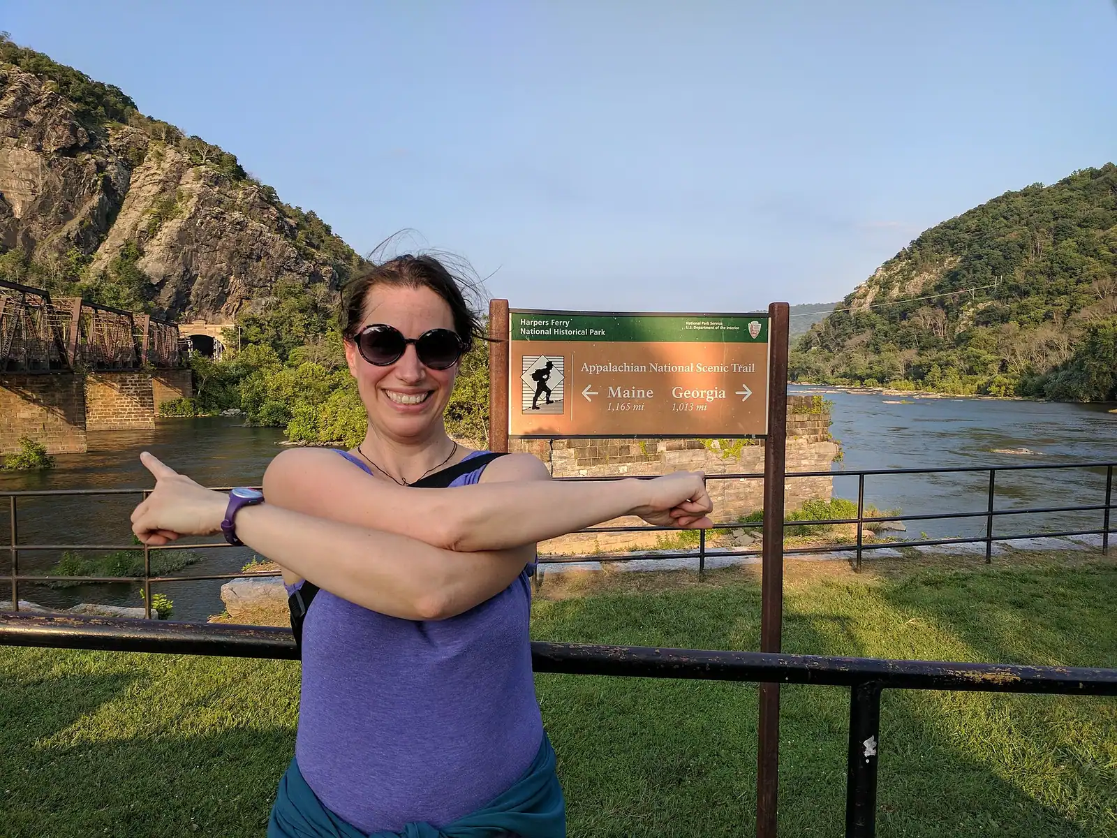
    The Point

    Ninety seconds from the shuttle stop, level the whole way, and the only spot where the town's geography explains itself.

    10–30 minutesFree; covered by the park entrance fee already charged on your vehicle530 ft away

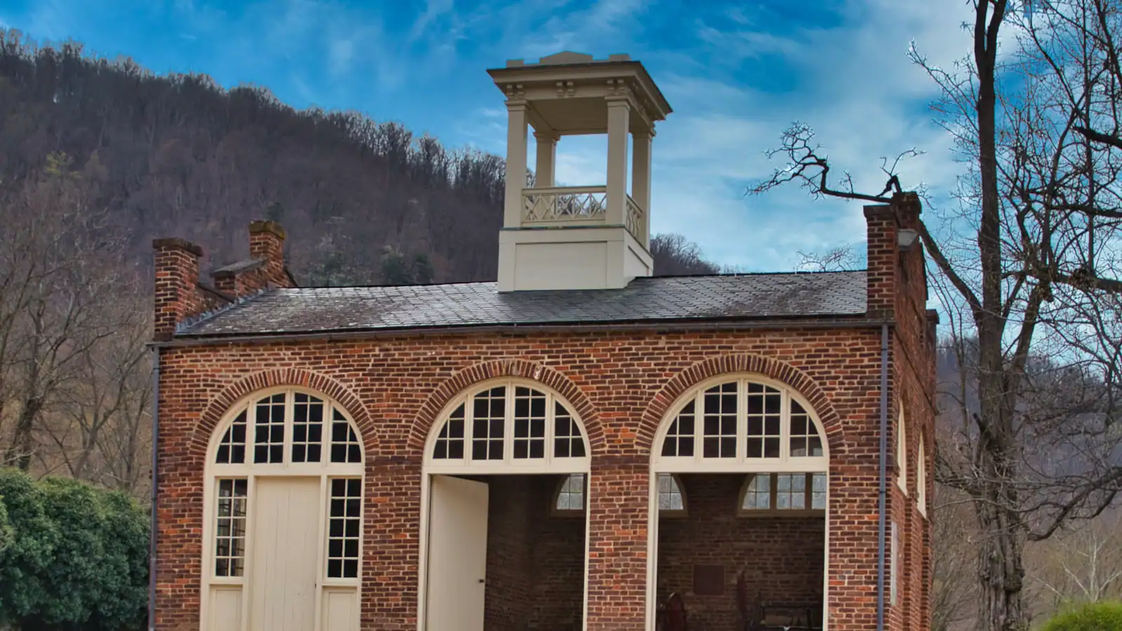
  • A squat brick building with a small square tower and an arched doorway, standing alone on open ground

    Historic site

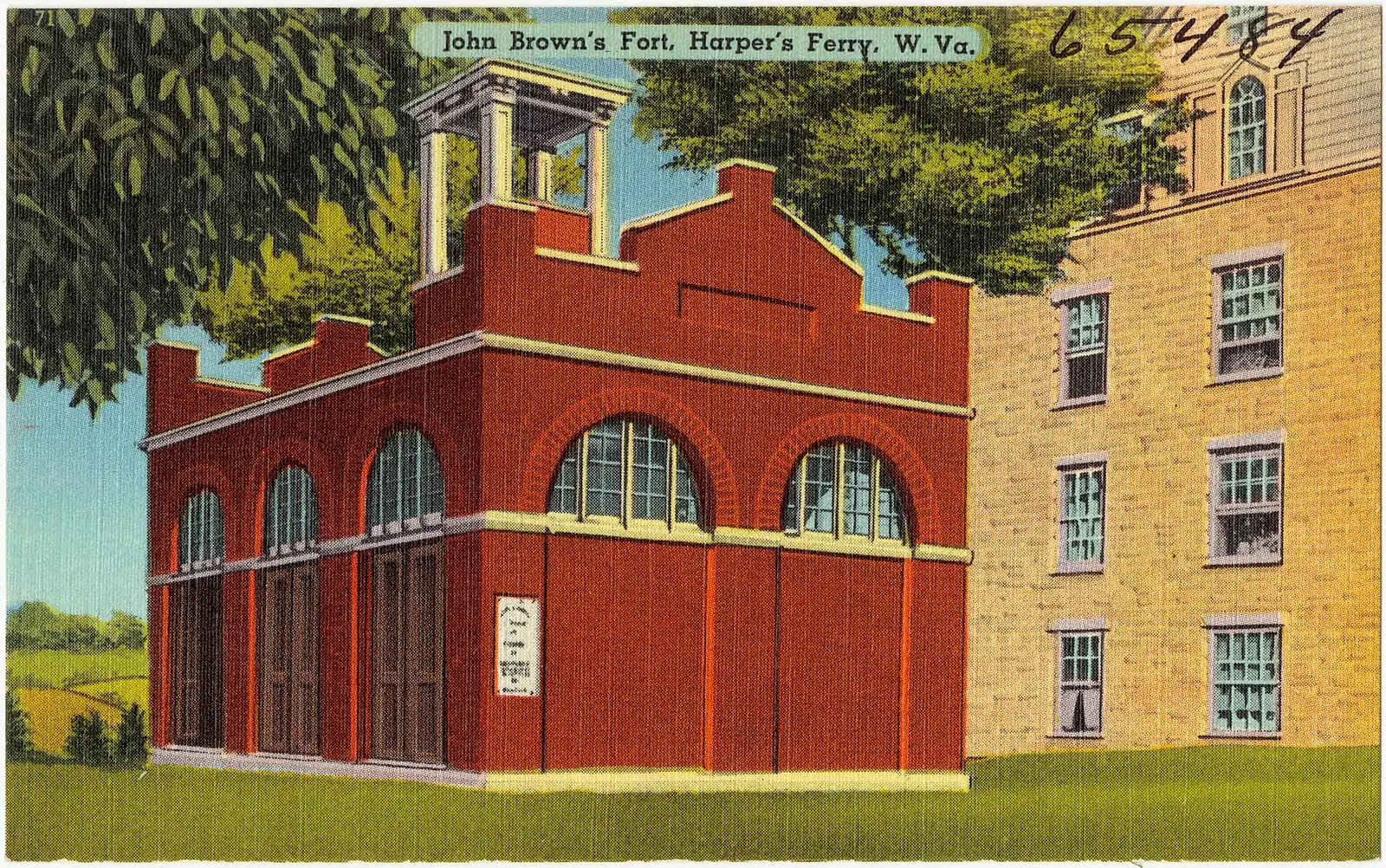
    John Brown's Fort

    An 1848 fire engine house, the only armoury building to survive the war, and it does not stand where any of this happened.

    10–30 minutesCovered by the park entrance fee; no separate charge360 ft away

Lower Town: common questions

How long does it take to walk around lower town Harpers Ferry?

Fifteen minutes to cross it, four hours to do it properly. The historic district is two streets and a staircase: Shenandoah Street runs flat along the water to the confluence, High Street climbs steeply away from it, and the 1810 stone steps go up from the top of High Street toward Jefferson Rock. The distances are tiny. What takes the time is the exhibit buildings, the ruins along the river and the climb to the upper town.

Can you park in lower town Harpers Ferry?

Effectively no, and it is the single thing most first visits get wrong. Visitor parking in the historic district barely exists, the handful of private lots fill early in the day, and what space there is belongs to residents and deliveries. Park at the visitor centre on Cavalier Heights, 171 Shoreline Drive, and take the shuttle down — it runs every ten to fifteen minutes and is included in the entrance fee. Satellite navigation will still try to route you into the town.

Is there anywhere to eat in Harpers Ferry lower town?

Yes, mostly on High Street: cafés, ice cream, a couple of restaurants and a candy shop, all independent businesses trading inside the national park boundary. The scale is small — this is a town of 269 residents — so an October Saturday lunch for a large group is worth arranging ahead, and several kitchens contract to weekends only between January and March. Nobody here publishes hours you can rely on a season in advance, so check on the day.

What is free to see in lower town Harpers Ferry?

Once your vehicle entrance fee is paid, every National Park Service exhibit building in the district is included, along with the shuttle, John Brown's Fort, the Industry Museum, White Hall Tavern and the walk out to The Point at the confluence. The streets themselves, the ruins along the Shenandoah and the climb to Jefferson Rock cost nothing further. The privately run museums, the ghost tours and the shops are separate businesses with their own prices.