Historic site
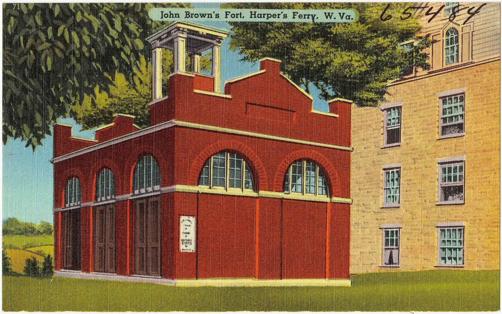
John Brown's Fort
An 1848 fire engine house, the only armoury building to survive the war, and it does not stand where any of this happened.
10–30 minutesCovered by the park entrance fee; no separate charge30 ft away
A booking made through these earns us a commission from Viator. The price is the same, and the commission had no bearing on what is recommended.
Historic site
Last updated
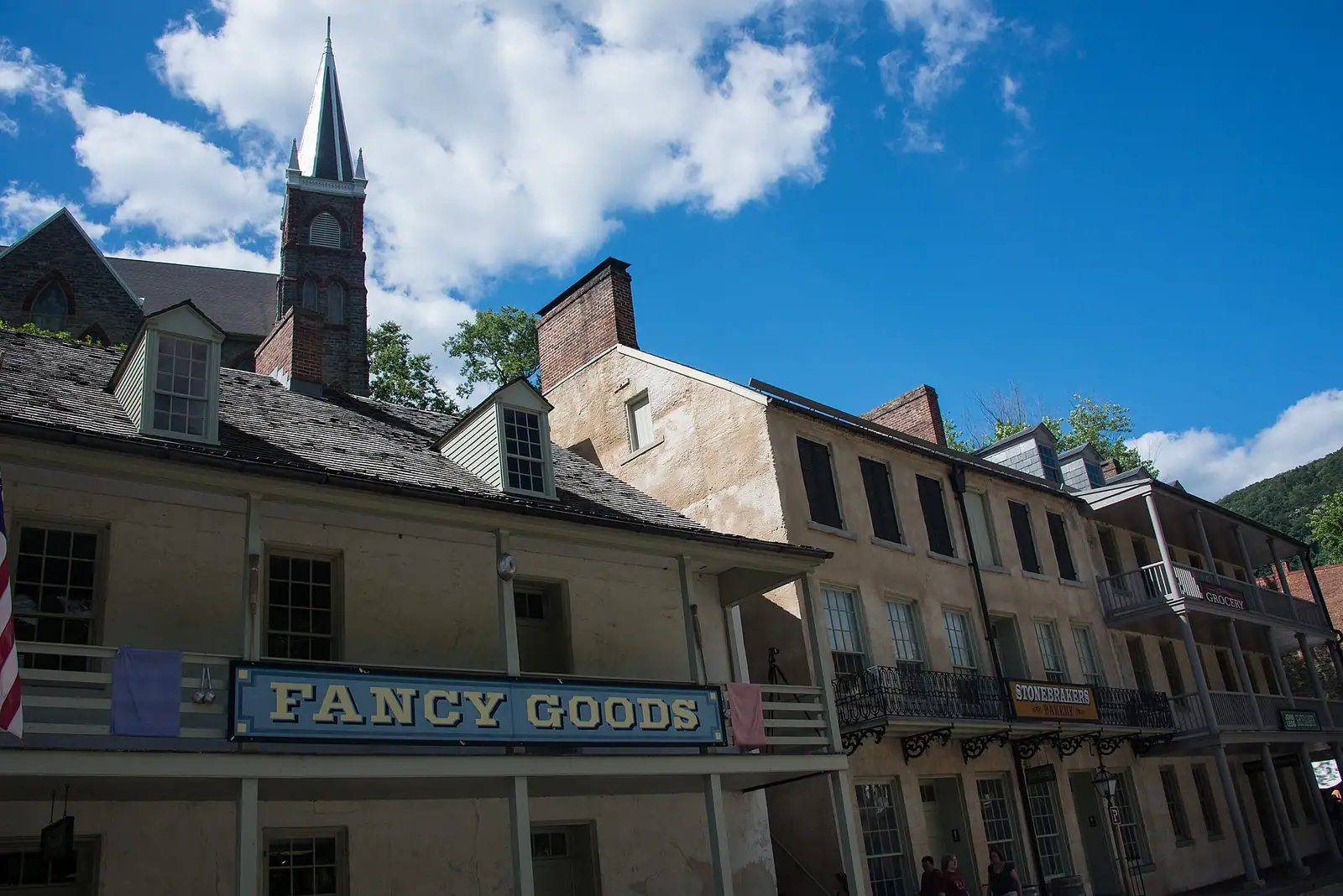
The one level street in the lower town: park museums door by door, the shuttle stop, and the restored shopfronts of an 1860s street.
Photo: HarpersFerryNPSCC BY 2.0
Individual exhibits close and reopen. Black Voices and the Civil War Museum have both been listed as closed while the rest of the street stayed open. Confirm at the visitor center desk.
Everything in Harpers Ferry is uphill except this. Shenandoah Street runs along the flat ground between the river and the base of the slope, and it is where a visit to the lower town begins, because the shuttle from Cavalier Heights sets you down on it and because the National Park Service has put most of its indoor interpretation along it.
What you are walking through is a restored working street of the 1850s and 1860s. The buildings are park-owned and furnished as what they were: a dry goods store, a confectionery, a tavern, a boarding house, a provost marshal's office from the occupation years. Several are open to walk into, with the interiors dressed rather than roped off, and they do something no display case manages, which is to make the scale of the place obvious. These are small rooms. A town that changed hands repeatedly through four years of war was conducted in rooms about the size of a modern kitchen.
Interleaved with them are the park's exhibit museums, and this is the part that requires checking rather than assuming. The park lists them individually, and more than one has been shut for stretches: Black Voices and the Civil War Museum have both appeared as closed while the rest of the street carried on. Ask at the visitor center desk before you get on the bus, and treat any list you find online, including ours, as a description of the street rather than a guarantee of the doors.
At the western end the street runs on towards the armoury canal ruins and Virginius Island. At the eastern end it opens onto the armoury grounds, John Brown's Fort and the point where the rivers meet.
Museums and restrooms run nine to five. The street itself is open as long as the park is.
The shuttle from the visitor center on Cavalier Heights sets down on Shenandoah Street, so for most visitors this is simply where you arrive. Buses run every ten to fifteen minutes from nine in the morning.
Arriving by train, walk up Potomac Street from the station and turn along Shenandoah Street; two or three minutes on the flat.
Walking down from Cavalier Heights on the Visitor Center to Lower Town Trail brings you in from the western end, past the armoury canal ruins.
Do not drive down. There is no visitor parking on the street and the surrounding lanes are not built for turning a car round.
Treat this as a map of what exists rather than a promise of what is unlocked today.
The John Brown Museum is the park's main treatment of the raid: exhibits, film and artefacts, staffed, and included in your entrance fee. This is the one to do first, and it is not the privately run wax museum up on High Street.
The Industry Museum covers the armoury, the water power, the mills and the machine work that made this a manufacturing town before it was a battlefield. It pairs directly with a walk out to Virginius Island.
Black Voices from Harpers Ferry covers the town's African American history. It has been listed as closed.
The Civil War Museum covers the occupation years and the town changing hands. It has also been listed as closed.
The restored commercial buildings — the Dry Goods Store, the Confectionery, White Hall Tavern, the Boarding House and others — are furnished interiors rather than exhibit halls, and they are the quickest way to understand what the street was.
Allow two hours to do the open ones properly, or forty minutes to walk the street and look into whatever is unlocked. Both are reasonable visits.
Walk east and the buildings stop. What opens up is a long flat area between the street and the Potomac, and that emptiness is the point: this was the United States Armoury at Harpers Ferry, a complex of workshops and storehouses that employed the town, and it is gone.
It went in stages. Federal troops burned the arsenal in April 1861 to keep it out of Confederate hands as Virginia seceded. The war finished the rest, floods took what followed, and the Baltimore & Ohio built over much of the ground. What you see now is grass, a rail embankment and interpretive panels marking where buildings stood.
John Brown's Fort stands here, and the thing to know is that it is not standing where it happened. The building is the armoury's 1848 fire engine house, the only armoury structure to survive the war. It was dismantled and shipped to Chicago for the 1893 exposition, returned to a farm outside town in 1895, moved to the Storer College campus on Camp Hill in 1909, and set on its present site by the National Park Service in 1968, about 150 feet from where it was built. The original ground lies under the railroad embankment.
The Heyward Shepherd monument stands nearby, with interpretive panels that explain who erected it in 1931 and why that is contested. Read those as well as the inscription.
If mobility is a consideration, this street is the reason a visit to Harpers Ferry is possible at all.
The chain works like this. The visitor center on Cavalier Heights has accessible parking and restrooms. The shuttle buses carry ramps or lifts for wheelchairs and mobility devices, so the journey down the hill is step-free by design. The bus sets you down on Shenandoah Street, which is broadly level along its length. Several ground-floor museum spaces along it can be entered, and the lower-town restrooms are here.
What is not available from here is the rest of the town. High Street is a sustained climb on worn stone. Jefferson Rock is reached by stone steps with no alternative route. Maryland Heights and Loudoun Heights are strenuous. The railroad station platform is not step-free.
Two honest caveats about the street itself. Several historic interiors have a step at the door and floors that predate any building code, so enterable does not mean uniformly easy. And the surface, while level, is a nineteenth-century street rather than a modern pavement.
For a wide landscape view without any of this, Bolivar Heights has its own trailhead parking and a short, open, largely level ridge walk.
The street has two rhythms, and they are worth playing against each other.
Before ten in the morning it is nearly empty. The first shuttle runs at nine, the museums open at nine, and for the first hour you have the interiors more or less to yourself. On an October Saturday this single hour is the difference between a good day and a queue.
Between eleven and three is when the coaches, the school groups and the day-trippers are all here at once, and the street compresses. This is the time to be somewhere else: Virginius Island upstream, the towpath across the river, or Camp Hill above.
After four it clears again, but the museums close at five and the last shuttle up the hill leaves at seven under daylight saving time and half past five under standard time. Watch that, because the winter cutoff catches people.
Weather note. The street is in the bottom of a river gorge with ridges on three sides. It holds heat in July and it is genuinely cold and shaded in January well after the ridge above has warmed. Dress for the bowl rather than the forecast.
Straight-line distances, so allow more on the road — the island is long and has one main parkway.
Historic site
An 1848 fire engine house, the only armoury building to survive the war, and it does not stand where any of this happened.
10–30 minutesCovered by the park entrance fee; no separate charge30 ft away
Neighbourhood
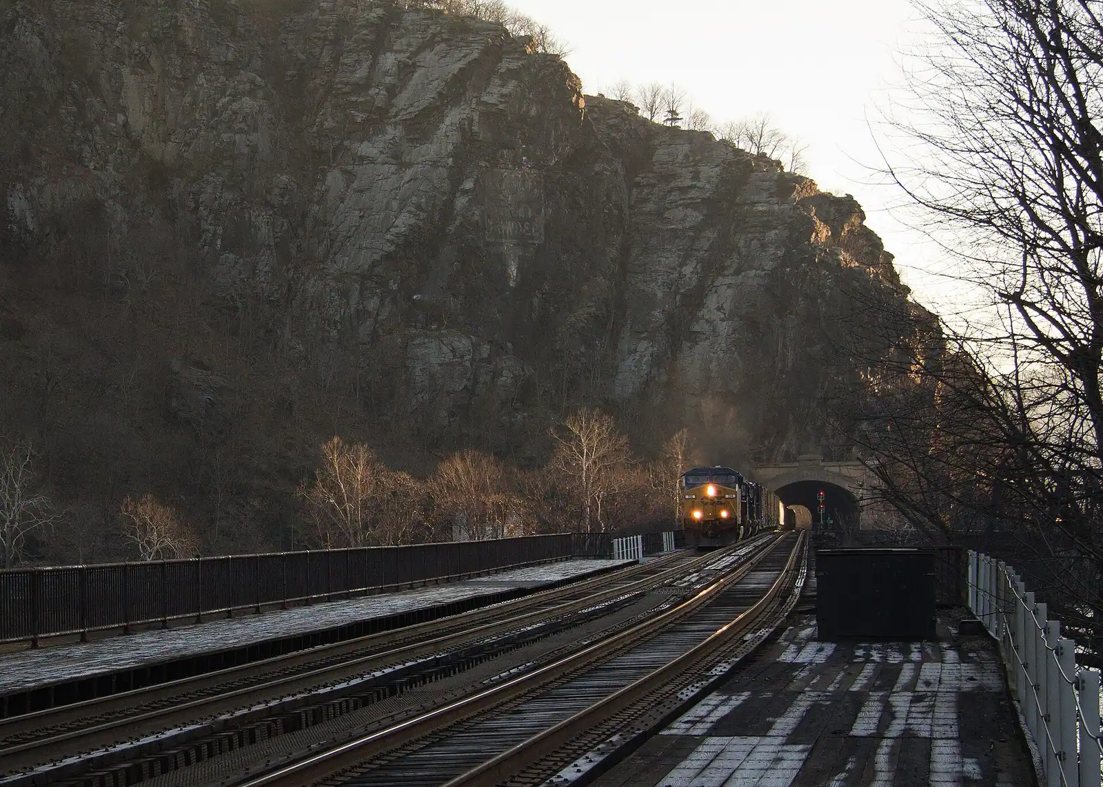
Two streets and a flight of stone steps, all of it inside a national park, with the high-water marks still on the walls.
2–5 hoursPark entrance fee applies; National Park Service exhibit buildings are then free to enter370 ft away
Shopping
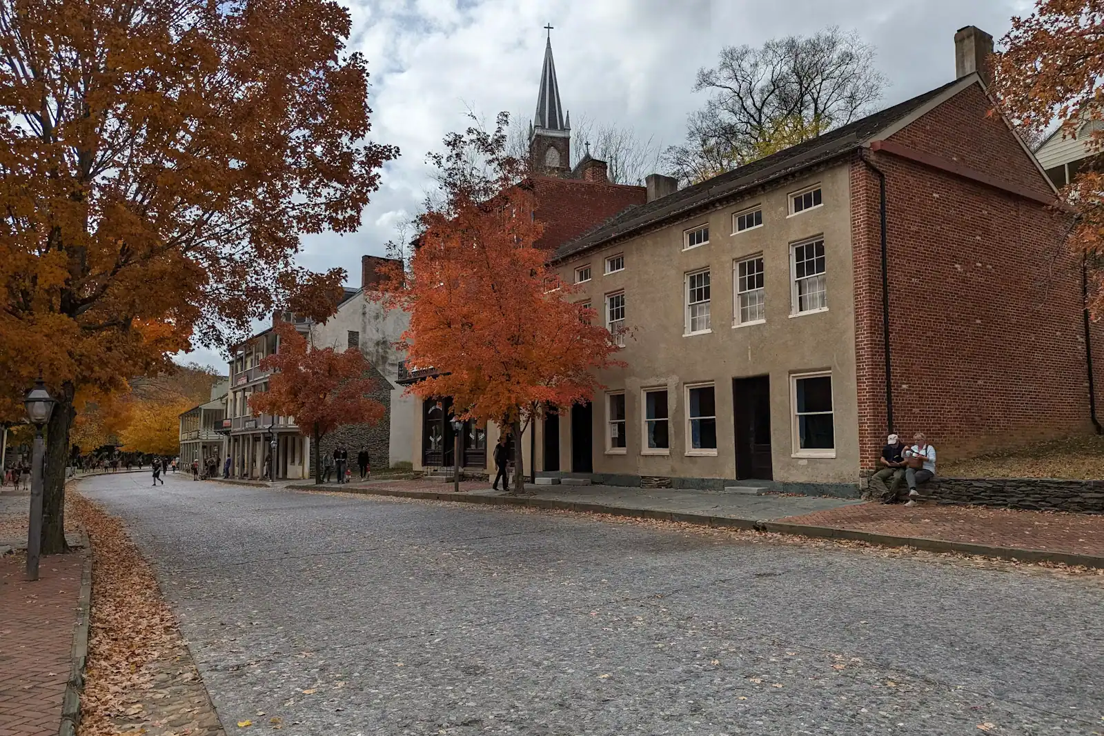
The lower town's one commercial street: a stone climb of shopfronts ending at the steps up to St Peter's and Jefferson Rock.
0.5–1.5 hoursThe street is free to walk; reaching it means entering the national historical park520 ft away
Viewpoint
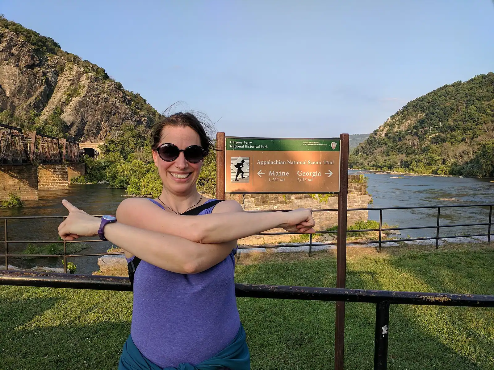
Ninety seconds from the shuttle stop, level the whole way, and the only spot where the town's geography explains itself.
10–30 minutesFree; covered by the park entrance fee already charged on your vehicle530 ft away
Where this place fits into a day, and the pages that plan one.
Things to do
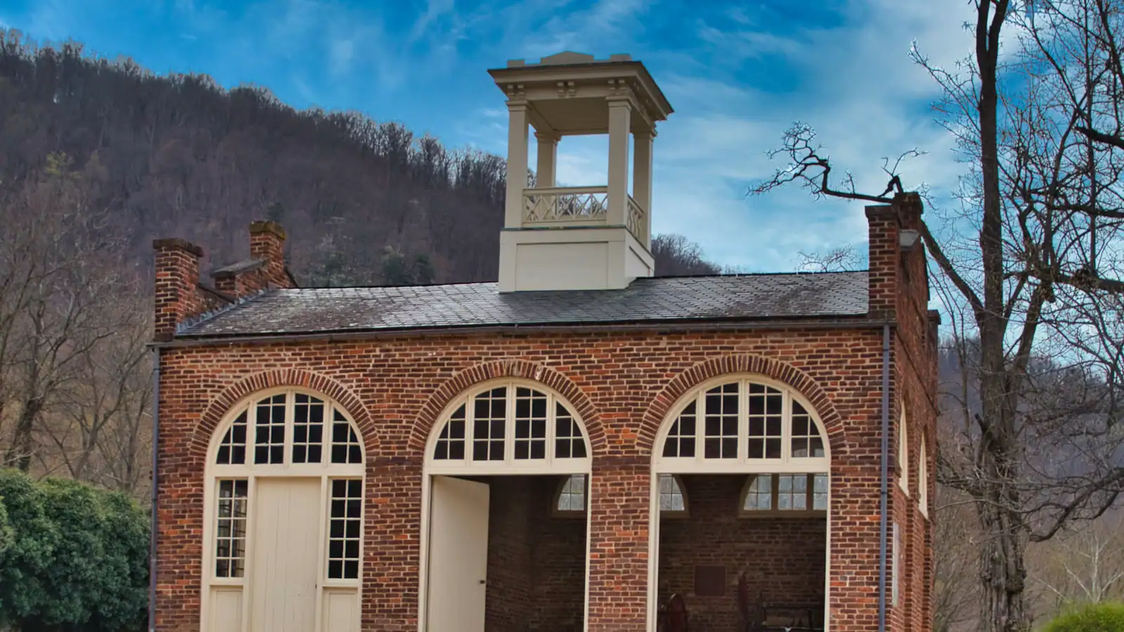
The United States built its second national armoury on this ground in 1799 because the ground did the work. Two rivers arrive at the same corner…

Guide hub
At most national parks the town is outside the gate. Here the town is the park. Harpers Ferry National Historical Park covers roughly 3,660 acres in…
Things to do
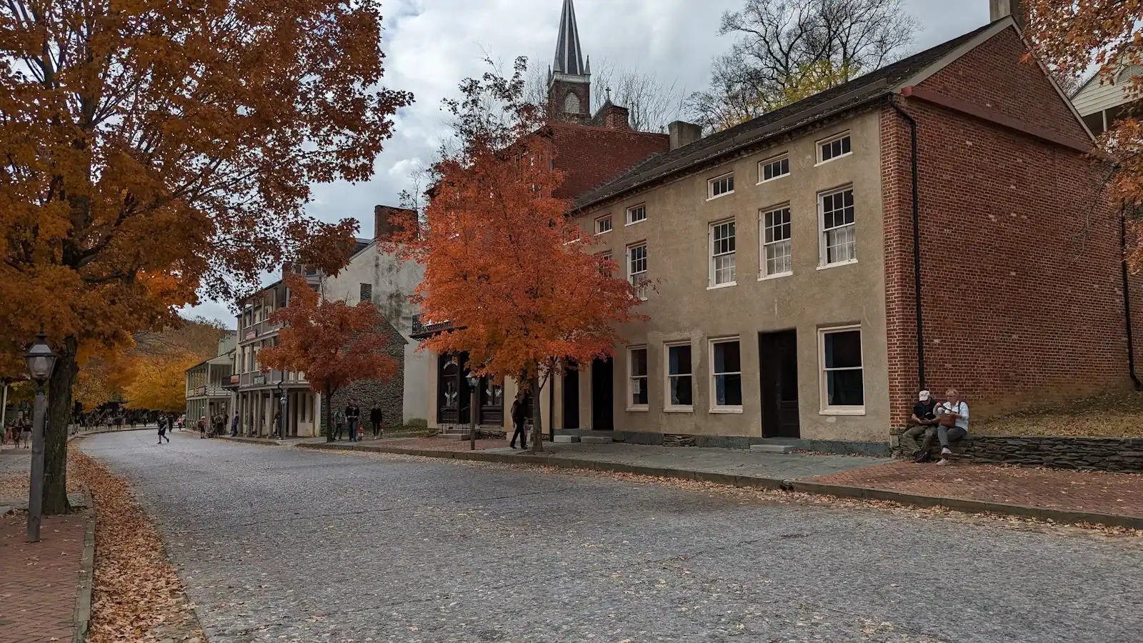
Adjust the expectation before you arrive and this becomes one of the best hours in the park. There is no Harpers Ferry Museum. There is no hall with…
Who it suits
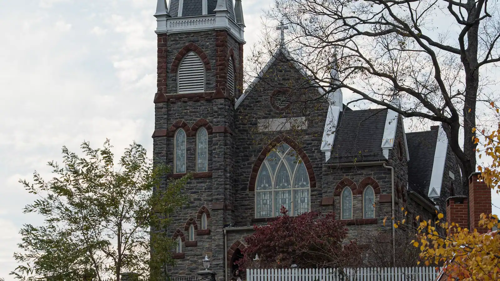
Start with the truth, because it saves you a disappointing morning: Harpers Ferry is an outdoor destination and rain genuinely changes the plan. The…
Guide
The platform is inside the national historical park. No lot, no shuttle, no hill. The catch is that the commuter timetable runs the wrong way for a day-tripper, and the workaround is worth knowing.
9 min readPrudence Ashby
Guide
The lower town read in geographical order tells the story backwards. Here is the day arranged chronologically instead, from the armoury grounds at nine to Jefferson Rock at dusk.
9 min readLoretta Sims
Guide
The lower town has nowhere to leave a car. Park at 171 Shoreline Drive off US 340, pay at the entrance station, and ride the bus down. The last bus back is the only deadline that matters.
8 min readPrudence Ashby
The park's lower-town exhibits are strung along it: the John Brown Museum on the raid, the Industry Museum on the armoury and the mills, Black Voices from Harpers Ferry on the town's African American history, and a Civil War Museum, plus restored and furnished buildings including a dry goods store, a confectionery, a tavern and a boarding house. Individual exhibits close for stretches, so confirm which are open at the visitor center desk before you ride down.
Park museums and the lower-town restrooms open daily from 9 a.m. to 5 p.m., the same hours as the visitor center on Cavalier Heights. The park closes on Thanksgiving, 25 December and 1 January. The first shuttle down runs at nine, so arriving for it gives you roughly an hour in the interiors before the street fills, which on an autumn Saturday is worth the early start.
Shenandoah Street is, largely. The shuttle buses from Cavalier Heights carry ramps or lifts, the street is broadly level, several ground-floor museum spaces can be entered and the restrooms are here. Beyond it the town is not: High Street climbs on worn stone, Jefferson Rock is reached only by stone steps, and the station platform is not step-free. For a wide view without any climbing, Bolivar Heights has its own parking and a short level ridge walk.
On the armoury grounds at the eastern end of Shenandoah Street, where the open ground now runs down to the Potomac. The engine house Brown's men were pinned in survives as John Brown's Fort, but it does not stand on its original site. It went to Chicago for the 1893 exposition, came back to a farm in 1895, moved to the Storer College campus in 1909, and was put on its present spot in 1968 about 150 feet away. The original ground is under a railroad embankment.