Trail
Free
Maryland Heights Trail
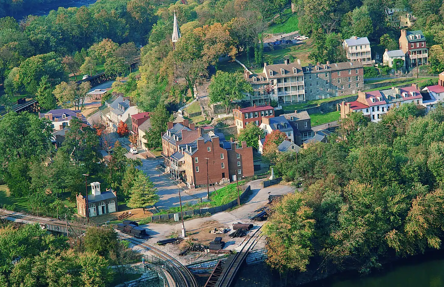
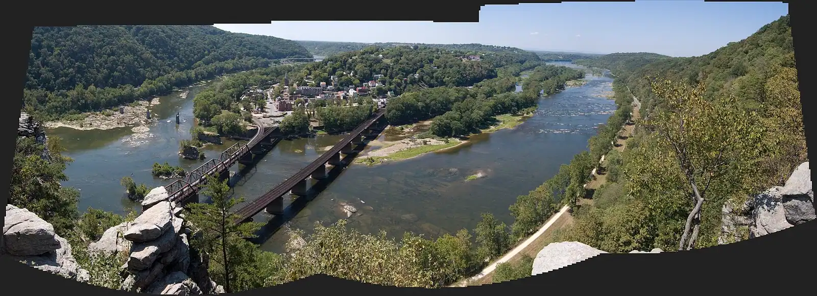
The cliff ledge that produces the photograph everyone has seen of this town, and about a thousand feet of climbing to reach it.
3–5 hoursNo charge for the trail; the park entrance fee applies to your vehicle
A booking made through these earns us a commission from Viator. The price is the same, and the commission had no bearing on what is recommended.
Things to Do
Hiking trails in Harpers Ferry with the park's own distances and elevation: Maryland Heights, Bolivar Heights, Loudoun Heights, Virginius Island, the towpath.
 Unsplash
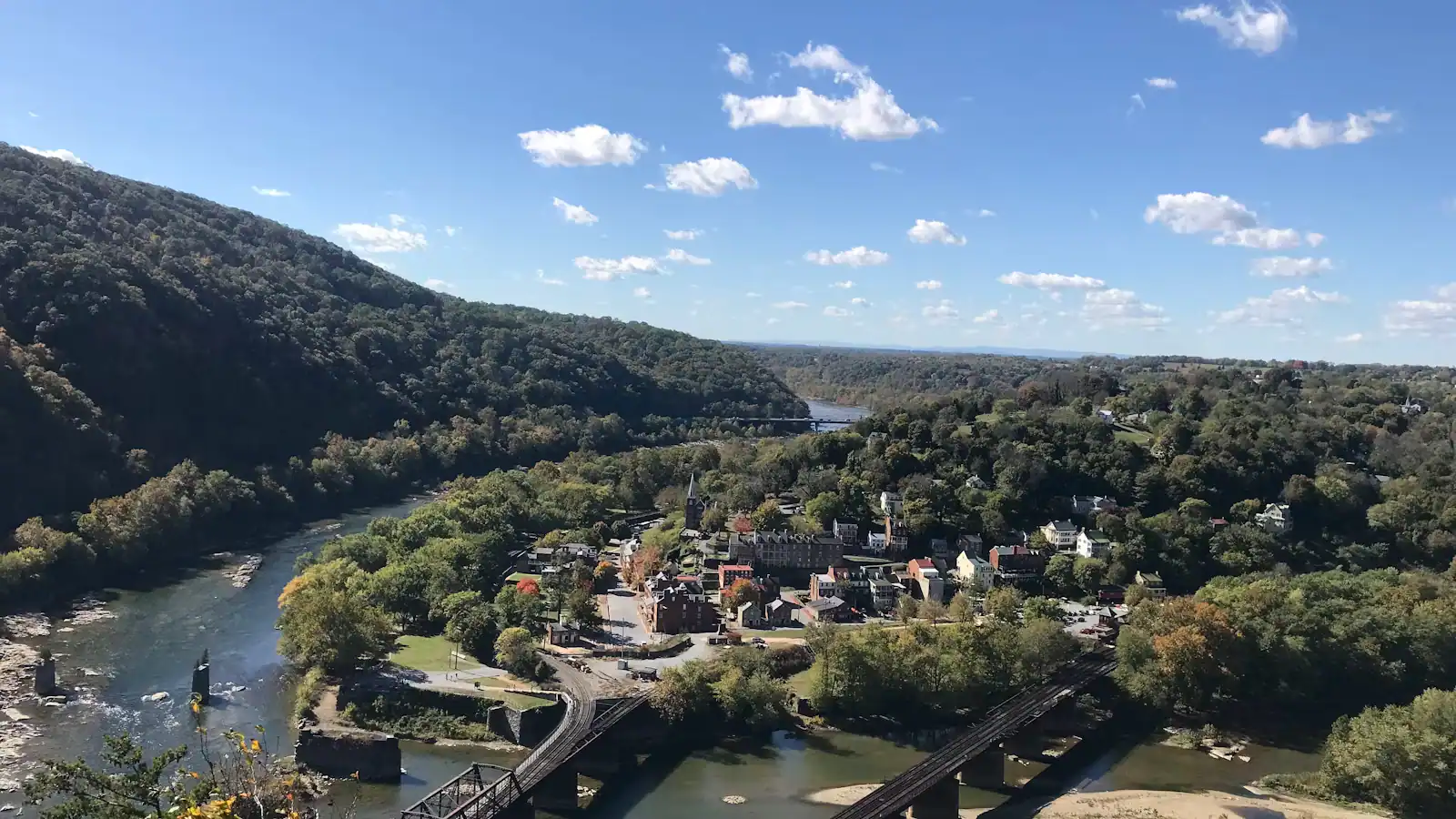
The hiking here is entirely a consequence of the geology, and ten minutes understanding that will save you picking the wrong trail. Two rivers cut through the Blue Ridge at the same place, which left three separate ridges standing over a town at about 509 feet: Maryland Heights across the Potomac, Loudoun Heights across the Shenandoah, and Bolivar Heights on the neck of land behind. Every serious walk in Harpers Ferry National Historical Park goes up one of those three, and every easy one follows water at the bottom. There is very little in between. The park counts over twenty miles of trail across roughly 3,660 acres in three states, and the range within it runs from a third of a mile on the flat to a nine-and-a-half-mile day with 1,771 feet of climbing.
Maryland Heights is the one people mean when they say they are going hiking in Harpers Ferry. It produces the photograph — the town on its spit of land, the rivers meeting, the railroad bridge — and on an October Saturday there is a queue for the rock. The park publishes three ways of doing it, from 4.5 miles and 1,154 feet up to 9.5 miles and 1,771 feet, and the difference between choosing well and choosing badly here is two hours and a great deal of enthusiasm.
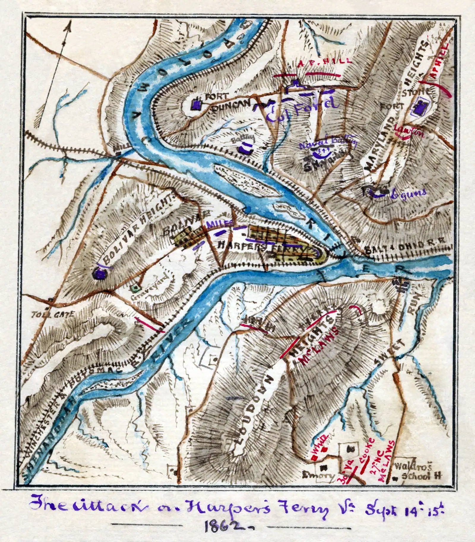
Bolivar Heights is the opposite and the most under-rated walk in the park. Its main loop is about a third of a mile, it has its own parking at the end of Whitman Avenue, and it gives you the Blue Ridge, the Potomac water gap and the Shenandoah Valley from a level ridge top with cannon and earthworks along it. Anyone who cannot manage steps should go straight there. Anyone who can should still go, because it is where you can actually see why the September 1862 surrender happened the way it did.
Loudoun Heights and Murphy-Chambers Farm are the quiet side. Loudoun is up to 7.5 miles and 1,377 feet, four to five and a half hours, and holds the only eastward view here, into Pleasant Valley. Almost nobody walks it, because almost everybody walks the other one.
Down at river level, Virginius Island is two flat miles through the ruins of a water-powered industrial town that the floods eventually ended, and the C&O Canal towpath across the Potomac is level crushed stone running as far as you have legs for.
Two things are true of every trail on this list and neither is optional. There is no drinking water and there are no restrooms out there — you fill up at the visitor center or in the lower town, and nowhere else. And they are open daylight hours only, closed from sunset to sunrise, which is enforced.
 Unsplash
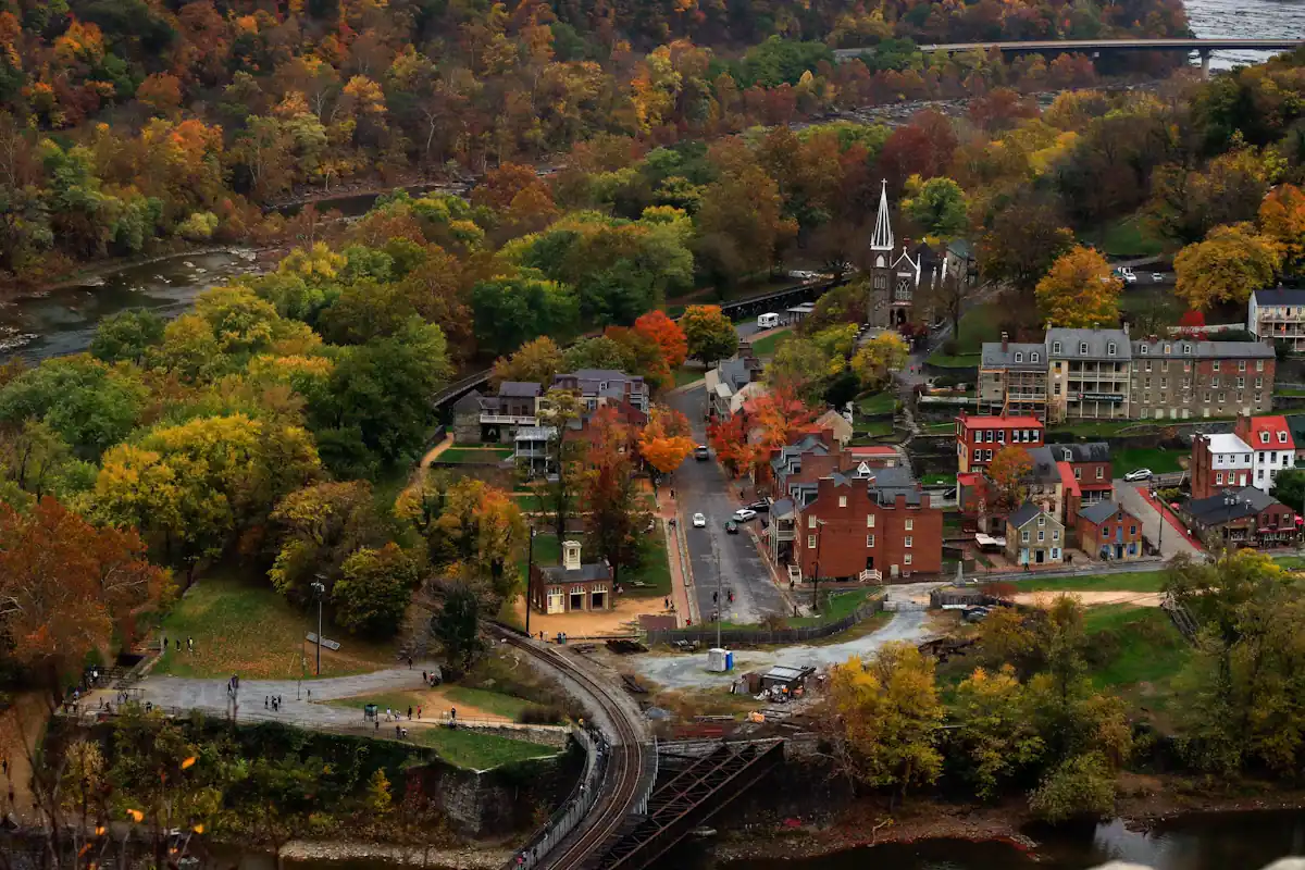
Harpers Ferry sits in a water gap. The Potomac and the Shenandoah meet here and cut through the Blue Ridge together, and the ridges they left standing are the reason there is a town, an armory, a battle, and a hiking guide.
That gives you a very particular kind of walking. The town is at about 509 feet. Maryland Heights, directly across the Potomac, rises to roughly 1,448 feet. There is no gentle approach to any of it: you are at river level or you are climbing, and the climbing starts within a few hundred yards of the trailhead on every one of the heights.
It also means the views are earned in a specific way. From the bottom you see two rivers and a wall of trees. From the top you see the whole geometry — the spit of land the lower town sits on, the confluence, the bridges, the Shenandoah Valley opening away to the south-west. That transformation is the point of hiking here, and it is why a two-hour climb feels different from a two-hour climb elsewhere.
The last consequence is military and it is written into the trail names. Whoever held the heights held the town, which is why there are earthworks on Bolivar Heights, a stone fort on Maryland Heights and rifle pits on Loudoun Heights. You are walking on the terrain that decided a garrison of roughly 12,500 Union soldiers would surrender in September 1862. The trails are, in a real sense, the battlefield.
If there is one under-used trail in this park it is Bolivar Heights, and the reason is that it looks too easy to bother with. The park's figures: 0.3 to 2.4 miles round trip, 4 to 263 feet of elevation gain, easy to moderate, ten minutes to an hour and a half depending on how far you go. The main loop is a third of a mile.
For that you get views the park itself rates among its best — the Blue Ridge, the Potomac water gap, the Shenandoah Valley — from an open ridge with cannon, earthworks and wayside exhibits strung along it. It has its own trailhead parking at the end of Whitman Avenue in Bolivar, so it does not depend on the shuttle at all, and there are portable restrooms there. There is no drinking water.
Two reasons to go beyond the view. The first is that this is where the ground makes the history legible: standing on the ridge with the heights visible on three sides, the September 1862 surrender of roughly 12,500 Union troops stops being a statistic and becomes obvious. The second is practical. On a peak October Saturday when the Maryland Heights overlook is queueing and the visitor centre lot is full, Bolivar Heights is quiet.
From the same area, trails run on toward Schoolhouse Ridge for a longer and flatter walk over open ground. It is the right answer for a group with mixed legs, and the right answer when the steps and switchbacks are simply not an option.
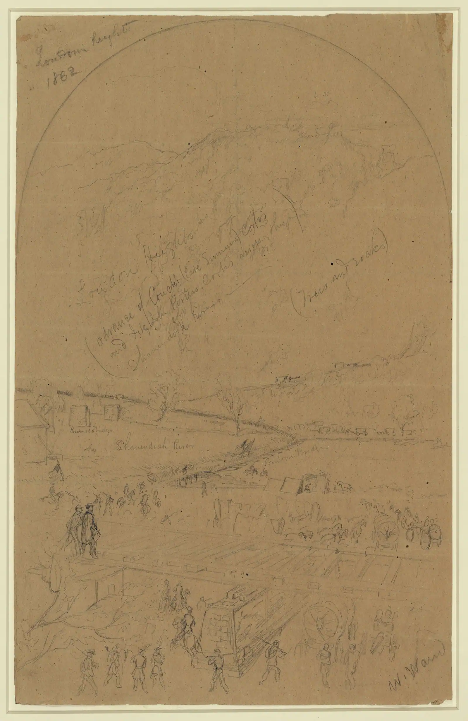
Across the Shenandoah, Loudoun Heights is the third of the three ridges and the one almost nobody walks. The park's figures are up to 7.5 miles round trip and 1,377 feet of climbing, moderately strenuous, four to five and a half hours. There are three ways onto it, all of them converging at the highway bridge over the Shenandoah, which means the first part of your day involves walking a bridge footway beside traffic. Accept that and the rest is a ridge to yourself.
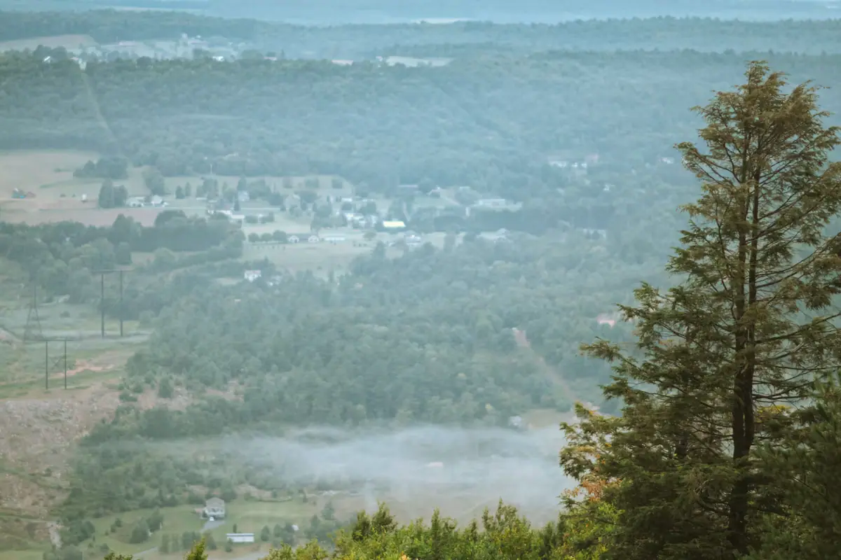
What it gives you that the others do not is the view east, into Pleasant Valley and beyond — the only one in the park that looks that way. You also pick up the Appalachian Trail itself along the ridge, which is the same tread the thru-hikers are on.
Murphy-Chambers Farm, up on the Virginia-facing side of Camp Hill, is the gentle alternative: an overlook walk on open farm ground with a view down the Shenandoah, much less climbing, and a good deal less company than anything in the lower town.
Neither has water or a restroom. Both close at sunset. And both are far enough from the shuttle that you should think about the last bus before you commit — seven in the evening on daylight saving time, half past five on standard time, from the lower town.
 Unsplash
Not every walk here is a climb, and the two flat ones are among the most interesting.
Virginius and Hall's Islands is up to two miles round trip with all of 45 feet of elevation gain, rated easy, fifteen minutes to an hour. It starts from the lower town shuttle stop, goes under the railroad trestle and turns along the Shenandoah, then crosses a wooden footbridge onto the island. What you walk through is the skeleton of a water-powered industrial town: mill ruins, turbine housings, waterworks, and the site of John Hall's Rifle Works, all of it slowly being taken back by forest. The 1936 flood ended habitation here and a 1996 flood closed the island to visitors until 2003, which is the plainest illustration in the park of what the rivers actually do.
One hard rule on that walk. The Winchester & Potomac tracks running through it are active every day. They are not a footpath and the park says so in writing.
The C&O Canal towpath is across the Potomac on the Maryland bank: 184.5 miles of level crushed stone from Georgetown to Cumberland, with Harpers Ferry at roughly mile 61. Turn either way and walk as far as you like, with the river on one side and the old canal prism on the other. It is the most accessible long trail in the region and the flattest hour you will spend here.
Local tips
Most visitors here are on a day trip with a train or a drive at the end of it. Match the walk to the clock rather than to ambition.
Whatever you pick, work backwards from the last shuttle — 7 p.m. on daylight saving time, 5:30 p.m. on standard time — rather than forwards from the first one.
How they compare
This is the classic and it is harder than its reputation. The park rates it moderately strenuous to strenuous across a range of 4.5 to 6.5 miles round trip and 990 to 1,788 feet of climbing, three to four hours. The variation is not noise — it is three genuinely different days out.
| Route | Distance | Elevation gain | Time | Park's rating |
|---|---|---|---|---|
| Lower town to the overlook and back | 4.5 miles | 1,154 ft | about 3.4 hours | Moderate |
| Overlook plus the Stone Fort loop | 6.2 miles | 1,522 ft | about 4.6 hours | Moderate |
| From the visitor center, with the Stone Fort | 9.5 miles | 1,771 ft | about 6.5 hours | Strenuous |
The overlook is the reason most people come: an unfenced rock ledge looking straight down on the town, the confluence and the bridges. The Stone Fort loop goes higher and takes you through Civil War fortifications almost nobody sees, and it is the better half of the mountain if you have the legs.
Getting there catches people out. There is no dedicated visitor parking at the trailhead. The park's advice is to park on Cavalier Heights, take the shuttle or the connector trail down to the lower town, then walk out across the Goodloe Byron Memorial Footbridge onto the C&O Canal towpath. That is why the figure above starts at 4.5 miles rather than at the foot of the climb.
In summer, start before ten: the river bowl holds heat and the climb is steep from the first switchback. In winter, ice sits on those switchbacks long after the streets are clear.
Before you book
Read this once and you will not need it again.
No water. Not on Maryland Heights, not on Loudoun Heights, not on Bolivar Heights. The park states it on every trail page. Drinking water is at the visitor center and in the lower town, and that is the whole list. On a July climb that is two litres a person, carried.
No restrooms, with the exception of portable ones at the Bolivar Heights trailhead.
Daylight only. Every trail is closed from sunset to sunrise, and the parking lots open thirty minutes before sunrise and close thirty minutes after sunset. Plan the descent, not just the climb.
Unfenced edges. The Maryland Heights overlook is a rock ledge above a long drop with nothing between you and it. In winter, ice holds on the switchbacks and on the 1810 stone steps to Jefferson Rock long after the streets have cleared, and the descent is when people come unstuck. Microspikes in January are not an overreaction.
Ticks, in the grass and scrub on all three heights, and tick-borne illness is a real local concern rather than a theoretical one. Check yourself after any walk off pavement.
One pedestrian river crossing. The Goodloe Byron Memorial Footbridge is the only way across the Potomac on foot, and its staircase was open during construction of a replacement at the time of writing. Check the park's alerts before any hike that depends on it, which includes every version of Maryland Heights.
On the ground
Every place below has its own page — hours, parking, what it costs and what to expect when you get there.
Trail
The cliff ledge that produces the photograph everyone has seen of this town, and about a thousand feet of climbing to reach it.
3–5 hoursNo charge for the trail; the park entrance fee applies to your vehicle
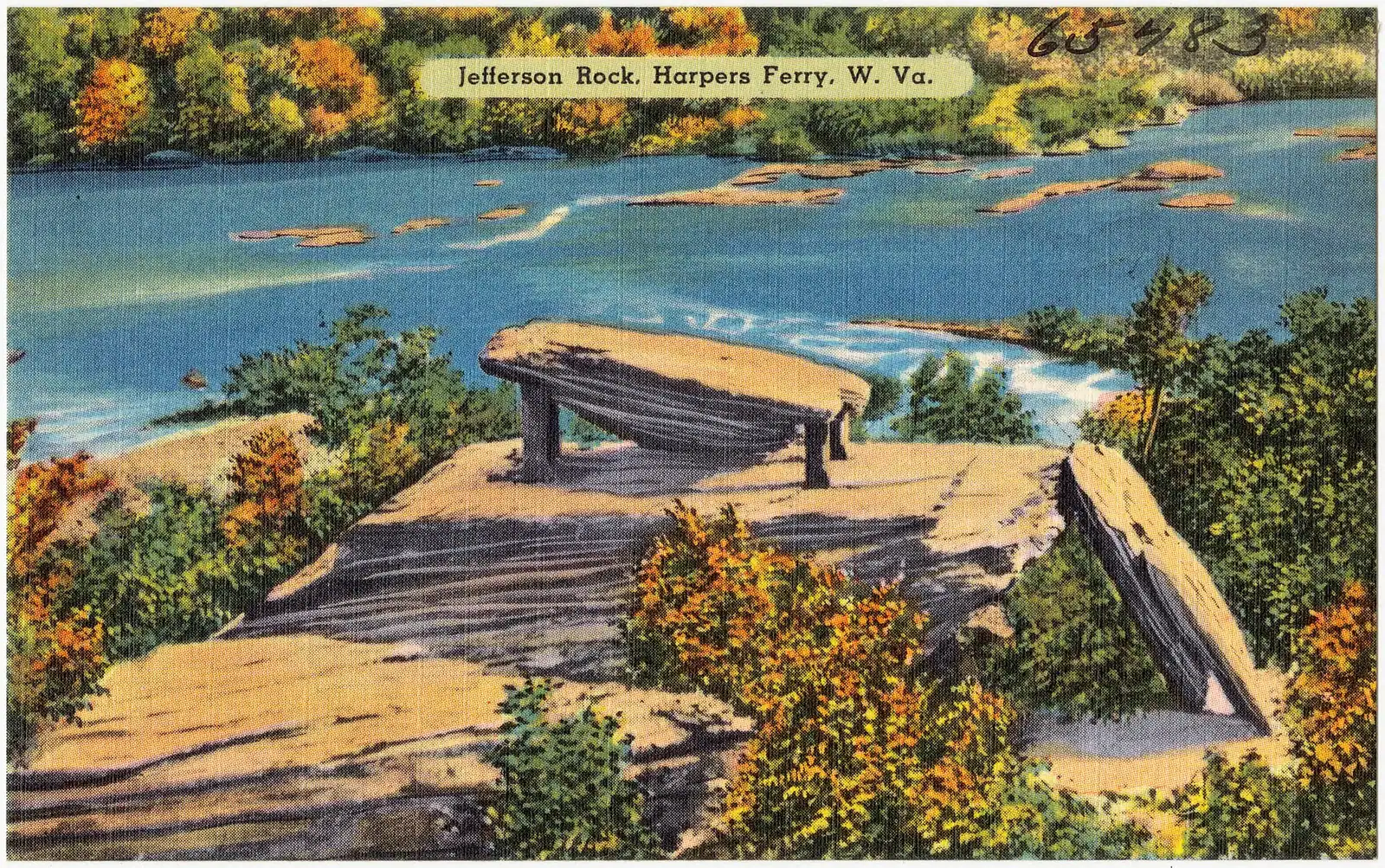
Viewpoint
A propped shale slab above the Shenandoah gorge, and the spot that gave American travel writing its first great sentence.
0.5–1.5 hoursFree once you are inside the park; the park entrance fee still applies to your vehicle

Museum
Where thru-hikers get photographed and numbered, in albums going back decades — and where the midpoint myth gets corrected.
0.5–1 hoursFree to enter; the Conservancy is a non-profit and donations are welcomed
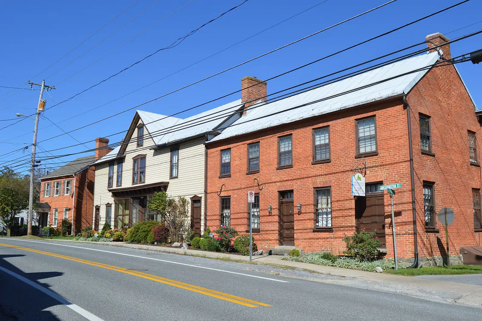
Trail
184 miles of level crushed stone on the Maryland bank, reached by a footbridge and an awkward spiral staircase.
1–5 hoursFree. The towpath itself carries no entrance fee
Historic site
Flat, open and five minutes from the car park: the battlefield where a Union garrison of 12,500 surrendered in two days.
1–1.5 hoursNo separate charge; covered by the park entrance fee, which is valid three consecutive days
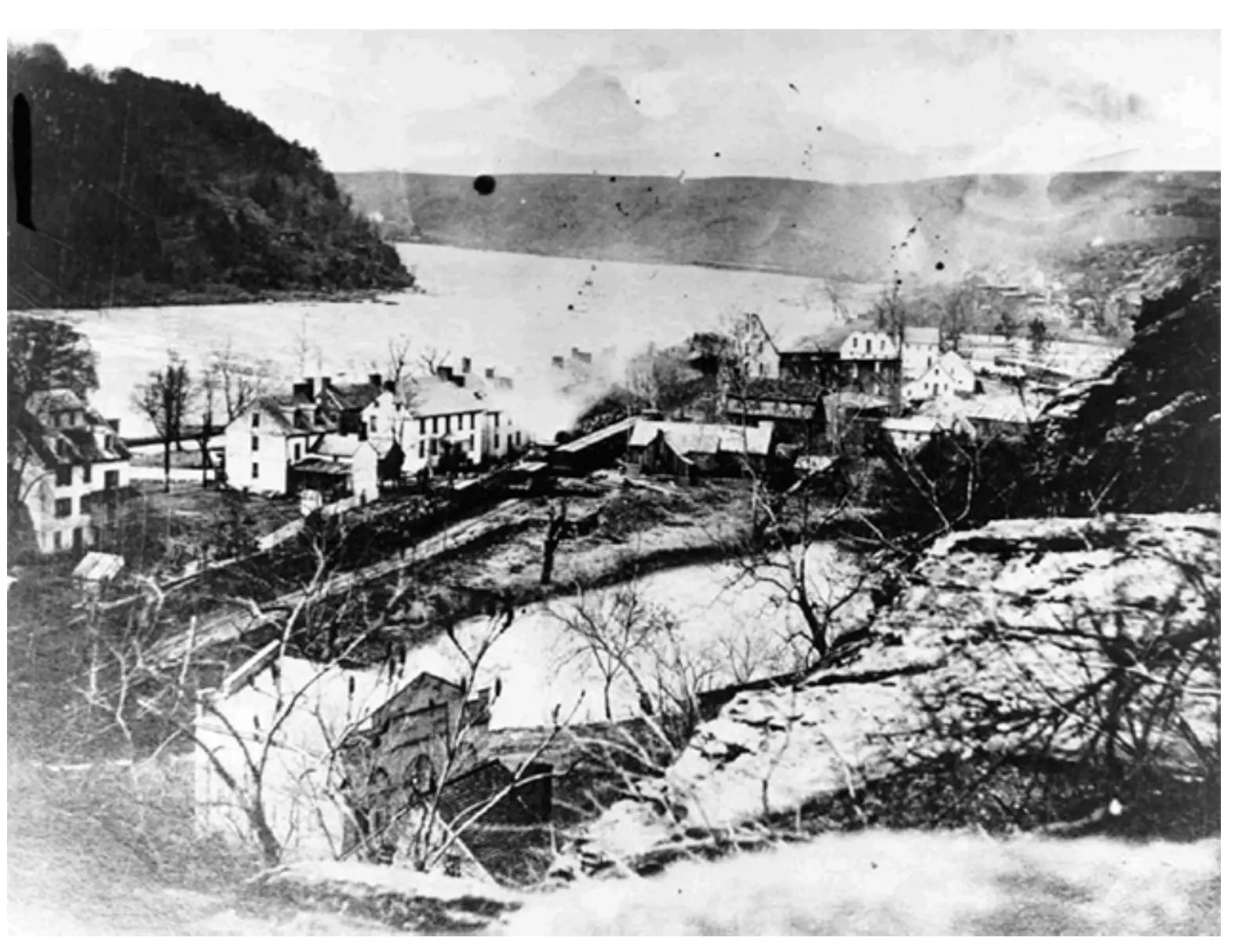
Historic site
A vanished factory town on the Shenandoah: mill walls, a canal race and 180 residents, all of it taken by flood.
0.5–1.5 hoursIncluded with park entrance; no separate charge for the island
Landmark
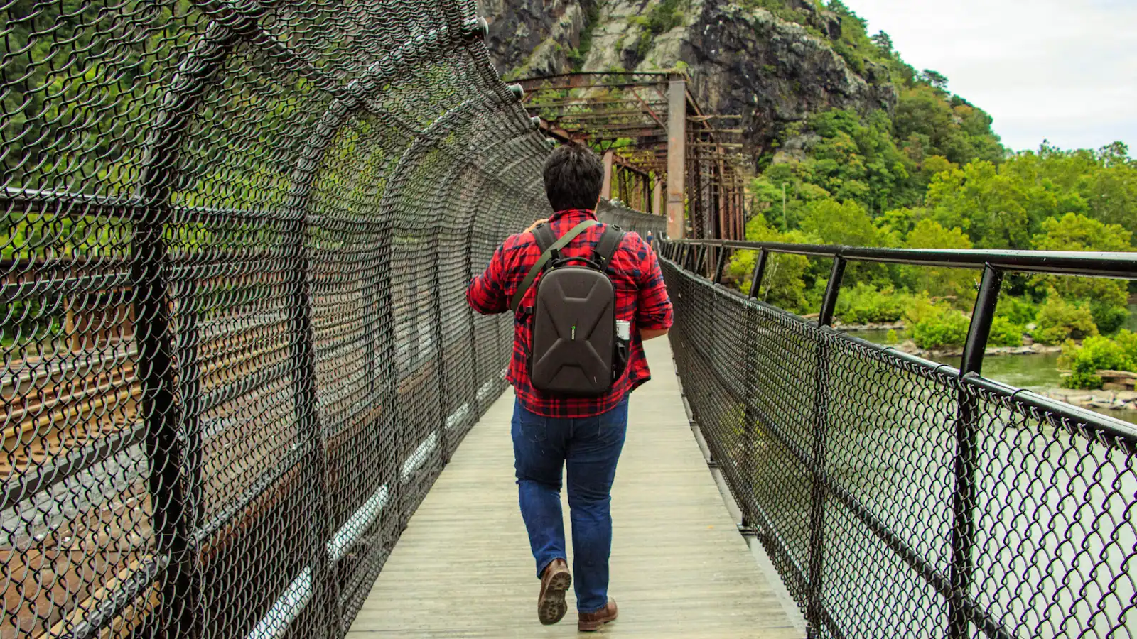
The walkway bolted to a working railroad bridge that carries the Appalachian Trail over the Potomac — closed since July 2026.
10–25 minutesFree to cross when open; the park entrance fee applies to your vehicle
Trail
The Virginia ridge across the Shenandoah: more climbing than Maryland Heights, fewer views, and almost nobody on it.
4–5.5 hoursFree to walk; the park entrance fee applies to your vehicle at the visitor centre
Straight answers
The park rates it moderately strenuous to strenuous: 4.5 to 6.5 miles round trip with 990 to 1,788 feet of climbing, three to four hours. From the lower town to the overlook and back is 4.5 miles and 1,154 feet. Adding the Stone Fort loop makes it 6.2 miles and 1,522 feet. Starting from the visitor center with the fort is 9.5 miles and 1,771 feet. There is no water on the trail.
Maryland Heights for the view, if you have three to four hours and can manage a sustained climb — it produces the classic photograph of the town at the confluence. If you have less time or less appetite for elevation, Bolivar Heights gives you the Blue Ridge, the Potomac water gap and the Shenandoah Valley from a level ridge in under an hour, with Civil War earthworks along it and its own parking.
Several. Virginius Island is up to two miles with 45 feet of climbing through nineteenth-century mill ruins, rated easy, starting from the lower town shuttle stop. The C&O Canal towpath across the footbridge is level crushed stone with no gradient at all. Bolivar Heights has a main loop of about a third of a mile. All three are more interesting than their difficulty rating suggests.
No. The park states on every trail page that drinking water is not available on Maryland Heights, Loudoun Heights or Bolivar Heights. Water is at the visitor center on Cavalier Heights and in the lower town, and nowhere else. Restrooms are the same, apart from portable ones at the Bolivar Heights trailhead. On a summer climb, carry roughly two litres a person from the bottom.
For almost everything, the visitor center lot at 171 Shoreline Drive on Cavalier Heights, then the shuttle or the connector trail down. There is no dedicated visitor parking at the Maryland Heights trailhead — the park directs hikers to the visitor center and out across the footbridge. Bolivar Heights is the exception: it has its own trailhead parking at the end of Whitman Avenue in Bolivar.
The National Park Service describes over twenty miles of hiking trails across a park of roughly 3,660 acres in West Virginia, Maryland and Virginia. They range from a third of a mile on the Bolivar Heights loop to a 9.5-mile day taking in Maryland Heights and the Stone Fort from the visitor center. The Appalachian Trail and the C&O Canal towpath add considerably more in both directions.
Yes, and the sightlines are better with the leaves off — Jefferson Rock and the Camp Hill path show you terrain that August hides completely. The constraint is ice. It holds on the Maryland Heights switchbacks and the 1810 stone steps long after the streets have cleared, and the descent is where people fall. Microspikes are sensible in January, and the parking lots close thirty minutes after a very early sunset.
The trails sit inside Harpers Ferry National Historical Park, which charges entry: at the time of writing $20 per private vehicle, $15 per motorcycle or $10 per person on foot or bicycle, each valid three consecutive days, with under-16s free. The shuttle to the trailheads is included. The park does not take cash, so pay online or by card. Confirm current fees before you travel.
Keep exploring
Things to do
Most long-distance trails pass towns. This one goes through the middle of one. The Appalachian Trail comes off Loudoun Heights in Virginia, crosses…
Things to do
Start with the correction, because it saves an afternoon. The photograph you have seen of Harpers Ferry — the whole town laid out on its spit of…

Guide hub
At most national parks the town is outside the gate. Here the town is the park. Harpers Ferry National Historical Park covers roughly 3,660 acres in…
By season
Harpers Ferry in October is the version of this place that ends up on other people's walls, and it is worth understanding both why it works and what…
Budget
Harpers Ferry is one of the cheapest good days out in the mid-Atlantic, and it is worth being precise about why, because the word free does two…
Plan your trip
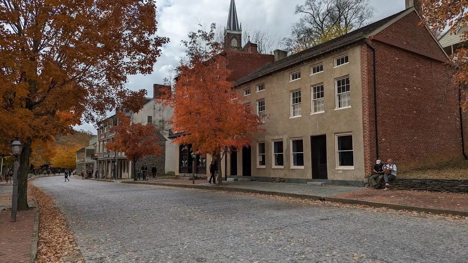
Learn one thing before you set off and the rest of the day looks after itself: you do not drive into the lower town. The streets that John Brown's…
Read next
Guide
The town sits in a bowl with high ground on three sides. You are either on a level towpath or climbing a thousand feet, and there is very little in between. Choose accordingly.
9 min readEmmett Coyle
Guide
The overlook everyone photographs is a thousand feet above the town, with no water on the way up and a descent that is harder than the ascent. Know the numbers before you start.
9 min readEmmett Coyle
Guide
The colour reaches the ridge tops before it reaches the streets, the crowd arrives at eleven, and on the first weekend of November the last bus back moves ninety minutes earlier overnight.
9 min readEmmett Coyle
Guide
The lower town read in geographical order tells the story backwards. Here is the day arranged chronologically instead, from the armoury grounds at nine to Jefferson Rock at dusk.
9 min readLoretta Sims