Skip to content
Menu

A booking made through these earns us a commission from Viator. The price is the same, and the commission had no bearing on what is recommended.

Historic site

Virginius Island

Last updated

A vanished factory town on the Shenandoah: mill walls, a canal race and 180 residents, all of it taken by flood.

Photo: Unknown authorUnknown authorPublic domain

Closed at the moment

The island floods. The trail closes during and after high water on the Shenandoah, sometimes for extended periods.

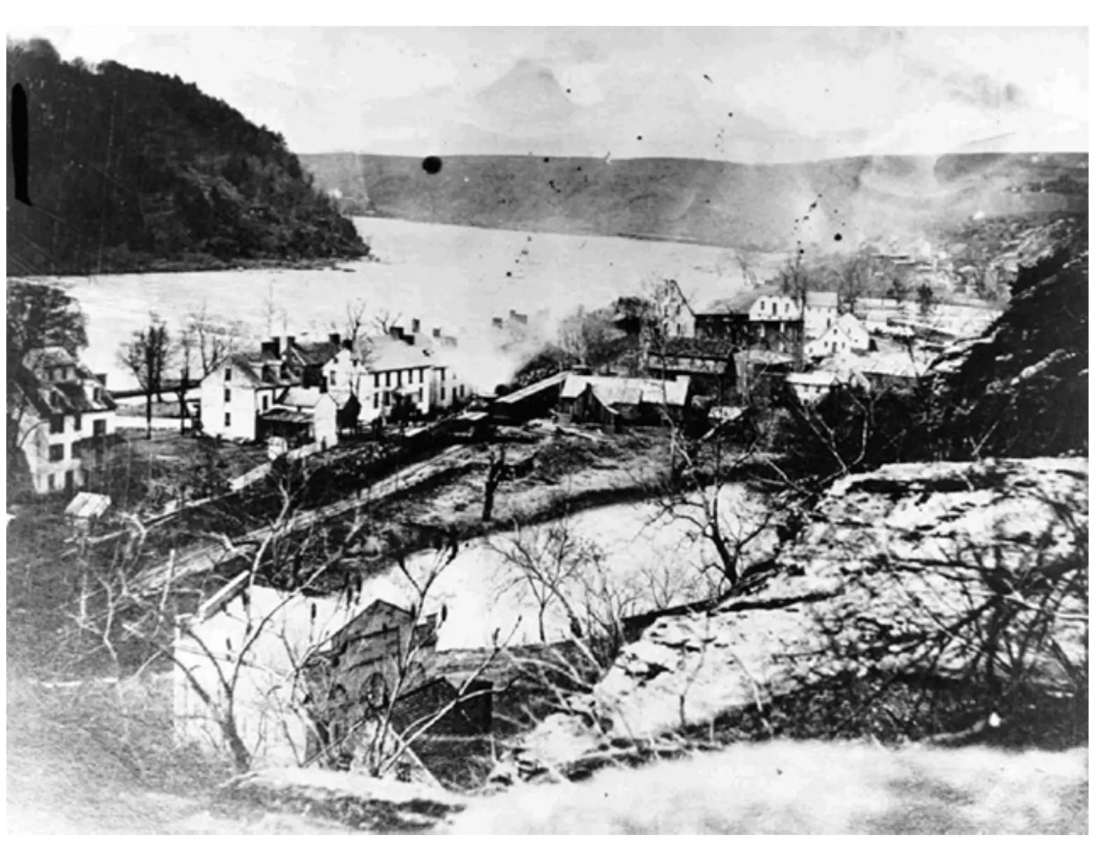
Ten minutes upstream from the shuttle stop, past the point where most visitors stop walking, the ground opens into scattered stone walls and a dry channel running through the trees. This was Virginius Island, and for most of the nineteenth century it was the industrial half of Harpers Ferry: a cotton mill, a flour mill, a sawmill, a machine shop, an iron foundry, a tannery, workers' housing and, on the adjacent Hall's Island, the rifle works.

The island was as much a piece of engineering as a piece of geography. A canal cut off the Shenandoah drove the wheels and turbines, and the whole settlement existed because of the head of water the river drops here. About 180 people lived on it before the Civil War, which in a town this size was a substantial share of the population. They were millwrights, machinists, weavers and their families, and they lived a few feet above a river that rose without much warning.

Hall's Rifle Works, on the island next door, is the part of this that historians of manufacturing care about. John H. Hall built breech-loading rifles there for the federal armoury from the 1820s using machines that cut parts to gauge, which is one of the foundations of interchangeable-parts production in America. The armoury on the Potomac side got John Brown and the headlines. The workshops on the Shenandoah side got the machine tools.

Then the river took it, not once but repeatedly. Floods in 1870 and 1889 did serious damage. The 1924 flood that killed the C&O Canal hurt here too. The record crest of 36.5 feet in March 1936 ended habitation for good, and what the water left standing the National Park Service later stabilised as ruins. A 1996 flood closed the island to visitors altogether until 2003.

What is left is walls, foundations, the line of the old canal race, and a great deal of quiet. On an October Saturday when the lower town is shoulder to shoulder, you can have this entirely to yourself.
Getting there and parking

From the shuttle stop on Shenandoah Street, turn upstream and follow the street past the armoury canal ruins until the pavement gives out and the trail continues along the Shenandoah. The island is straight on from there, and the walk in takes about ten minutes.

It is flat the whole way, which makes it the least strenuous thing in the lower town, though the surface is packed earth and stone rather than pavement and it holds water after rain.

Coming from the visitor center on Cavalier Heights, take the shuttle down as normal. There is no separate parking for the island and no vehicle access to it.

What actually stood on the island

Reading ruins is easier with a list, and this one is longer than visitors expect from a site the size of a few football pitches.

  • The cotton mill, a substantial multi-storey building, later repurposed. Its footings are among the clearest surviving structures.
  • Flour and grist milling, which outlasted most of the rest and is the reason parts of the site were still working after the Civil War.
  • A machine shop and iron foundry, serving both the armoury and the private works.
  • A sawmill and a tannery, the unglamorous trades that any industrial settlement needed.
  • Workers' housing, in rows, which is why the population figure is as high as it is.
  • The canal race, a cut channel that carried Shenandoah water to the wheels and turbines. Its line is still legible on the ground and is the single most useful thing to look for, because everything else was arranged around it.

The interpretive panels along the trail do a better job than most park signage of explaining what a water-powered factory town actually was. Give yourself time to read them rather than photographing them to read later.

Hall's Rifle Works and the machines that mattered

The federal armoury at Harpers Ferry had two halves. The musket factory sat on the Potomac side, where John Brown's raid happened. The rifle works sat here on the Shenandoah, on Lower Hall's Island, and it is arguably the more consequential of the two.

John H. Hall came to Harpers Ferry in 1819 to manufacture a breech-loading rifle of his own design under federal contract. To do it he built machinery that cut components to fixed gauges, so that a part made on one day would fit a rifle assembled on another. That principle, uniformity, is the basis of industrial mass production, and Harpers Ferry is one of the places in America where it was worked out in practice rather than in theory.

The works were burned in 1861 as the Civil War opened and never returned to federal use. The site was flooded and reflooded afterwards, and what you see today is foundations and stabilised walls rather than a building.

It is a strange thing to stand in. A ruin in the woods, off the main path, with a genuine claim to be one of the birthplaces of the modern factory.

How the river ended it

Virginius Island was abandoned in stages rather than in one night, and each stage has a date.

The flood of 1870 wrecked buildings and drowned the island's economics. 1889 did it again. The 1924 flood that finished commercial navigation on the C&O Canal across the river damaged what was left here. By the 1930s the island held a handful of operations and not much else.

March 1936 ended it. The Potomac crested at 36.5 feet, the highest ever recorded here, and the island went under. Nobody rebuilt. The National Park Service acquired the ground, cleared the undergrowth in places, stabilised the masonry and left it as ruins, which is the right decision and an unusual one.

The river has not finished. A flood in 1996 closed the island to the public for seven years, until 2003, and high water still shuts the trail. If it has rained hard upstream in the previous two days, check the park's alerts before you plan on walking here. The ground you would be standing on is the floodplain, which is the whole point of the place.

Walking it, and why it is the quiet option

From the shuttle stop on Shenandoah Street, walk upstream past the ruins of the armoury canal and keep going. The trail through Virginius and Hall's Islands is roughly a mile of loop and spur walking, essentially flat, on packed earth and gravel with some uneven stone.

Allow forty-five minutes to do it properly with the panels, or twenty if you are moving. Add it to a lower-town morning rather than treating it as a separate outing.

Two reasons to prioritise it. First, it is where the crowd is not. The lower town concentrates people into about four streets, and almost nobody walks upstream. Second, it explains the town in a way the museums cannot: Harpers Ferry was a manufacturing settlement first and a battleground second, and the mill walls make that obvious in a way a display case does not.

Conditions to expect: mud after rain, mosquitoes in high summer, and ticks in the grass on either side of the path. Check yourself afterwards. Tick-borne illness is a real local concern here rather than a theoretical one.

Near Virginius Island

Straight-line distances, so allow more on the road — the island is long and has one main parkway.

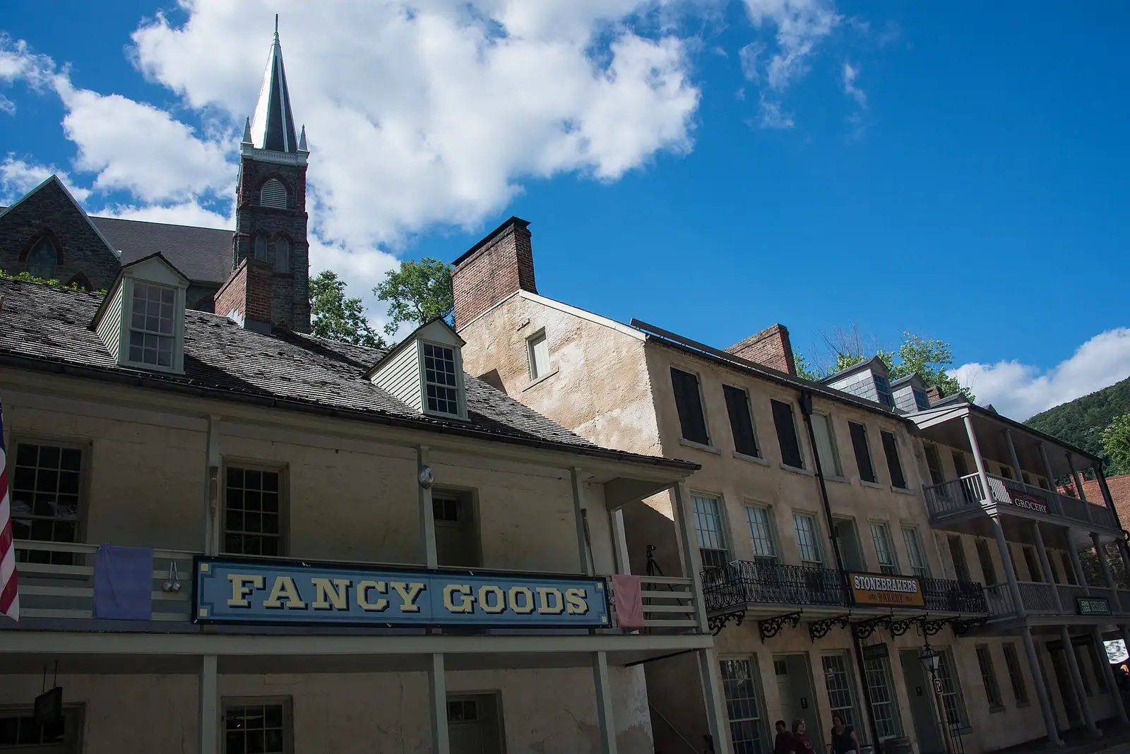
  • A street of nineteenth-century shopfronts with stone kerbs running between them

    Historic site

    Shenandoah Street

    The one level street in the lower town: park museums door by door, the shuttle stop, and the restored shopfronts of an 1860s street.

    1–2.5 hoursIncluded with park entrance; the museums along the street carry no separate charge0.2 mi away

  • Broken ledges of rock running across a shallow river between wooded banks

    Water feature

    Free

    The Shenandoah River

    Class I to III through the Staircase, Bull Falls at the bottom, and the only thing in this town with much to book.

    2–5 hoursFree to look at and walk beside; guided rafting, tubing and kayak trips are priced by the outfitter150 ft away

  • A narrow street of nineteenth-century shopfronts running uphill between stone kerbs

    Neighbourhood

    Lower Town Harpers Ferry

    Two streets and a flight of stone steps, all of it inside a national park, with the high-water marks still on the walls.

    2–5 hoursPark entrance fee applies; National Park Service exhibit buildings are then free to enter0.3 mi away

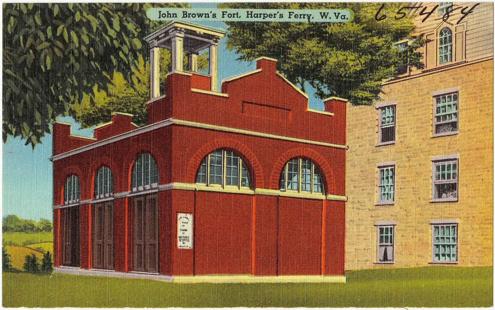
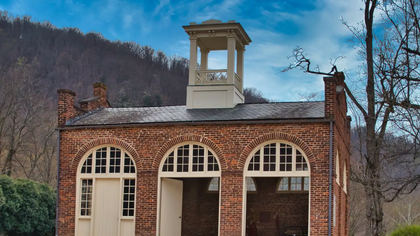
  • A squat brick building with a small square tower and an arched doorway, standing alone on open ground

    Historic site

    John Brown's Fort

    An 1848 fire engine house, the only armoury building to survive the war, and it does not stand where any of this happened.

    10–30 minutesCovered by the park entrance fee; no separate charge0.2 mi away

Virginius Island: common questions

What is there to see on Virginius Island?

Ruins rather than buildings. Stone foundations and stabilised walls from a cotton mill, flour milling, a machine shop, a foundry and workers' housing, plus the legible line of the canal race that drove the wheels. Interpretive panels along the trail explain what stood where. It is a site to read rather than to photograph, and it rewards the twenty minutes most visitors do not give it.

How long does the Virginius Island walk take?

Allow about forty-five minutes from the Shenandoah Street shuttle stop and back, including time at the panels, or half an hour if you are moving briskly. The trail through Virginius and Hall's Islands is roughly a mile of loop and spur walking on flat ground. It fits neatly into a lower-town morning rather than needing a slot of its own.

Why was Virginius Island abandoned?

Flooding, repeatedly. Serious floods in 1870, 1889 and 1924 progressively destroyed the mills and the housing, and the record crest of 36.5 feet in March 1936 ended habitation altogether. Nobody rebuilt. The National Park Service later stabilised what masonry survived and left it as ruins. Another flood in 1996 closed the island to visitors until 2003, and high water still shuts the trail.

Is Virginius Island wheelchair accessible?

Partly. The route is flat, which is unusual in Harpers Ferry, but the surface is packed earth, gravel and uneven stone rather than pavement, and it holds water for a day or two after rain. There are no restrooms, benches or drinking water on the island. Some visitors using wheels manage the first section along the Shenandoah comfortably and turn back where the surface deteriorates.