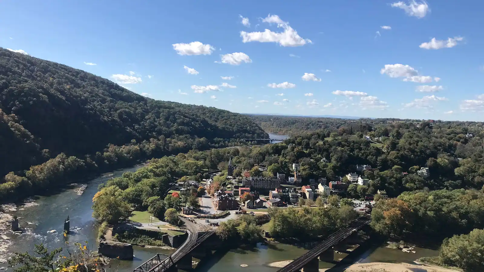
Harpers Ferry has more than twenty miles of trail inside the park boundary and almost none of it is gently rolling. The town occupies a triangle of flat ground at a river confluence with ridges rising on three sides, which means the walking divides cleanly into two kinds: a level towpath along the water that runs as far as you have patience for, or a climb of roughly a thousand feet. Visitors keep asking for the two-mile loop with a view. It does not exist.
That is not a complaint. It makes choosing easy, as long as you choose before you are halfway up something.
Everything, compared
| Walk | Round trip | Climb | Time | Underfoot |
|---|---|---|---|---|
| C&O Canal towpath | as far as you like | none | any | flat crushed stone, shaded |
| Jefferson Rock and the stone steps | under 1 mile | about 150 ft | 30–45 min | 1810 stonework, worn, steep |
| Virginius Island loop | about 1 mile | negligible | 45 min | flat, gravel and grass, ruins |
| Bolivar Heights | 1–2 miles | modest | 1 hour | open ridge, mown paths |
| Appalachian Trail, footbridge to Weverton area | about 6 miles | gentle then steep at the end | 3 hours | towpath then trail |
| Loudoun Heights | about 7 miles | around 1,200 ft | 4 hours | rocky, rooty, few people |
| Maryland Heights, overlook route | about 4.5 miles | around 990 ft | 3 hours | old road bed, rocky above |
| Maryland Heights, with the fort loop | about 6.5 miles | up to 1,788 ft | 4 hours+ | as above plus a boulder descent |
Trails and parking areas are open from thirty minutes before sunrise to thirty minutes after sunset. Nothing here is lit.
The flat walking, which is better than it sounds
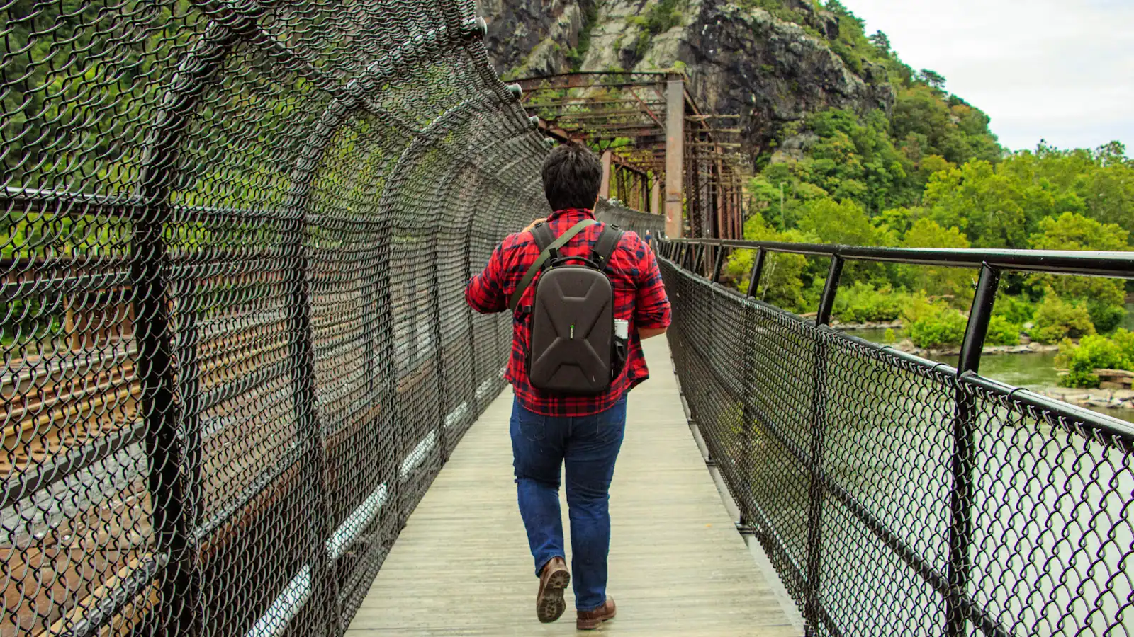
The C&O Canal towpath runs along the Maryland bank of the Potomac, reached by the footbridge from the lower town. It is level, shaded, unpaved, and it goes for a very long way in both directions — toward Washington one way and toward Cumberland the other. You do not need a plan. Walk out for as long as you feel like and turn round.
Twenty minutes out gets you past the noise and gives you the best ground-level view back at the town stacked up its hillside. An hour out on a bicycle, which is the better way to use it, gets you into genuinely empty country. It is the only place here where a pushchair works, and the only walking that suits someone who cannot manage steps — with the caveat that the footbridge itself is reached by stairs.
Virginius Island is the other flat option and a stranger one. It is the industrial ground on the Shenandoah side: a cotton mill, a flour mill, a machine shop, a small workers' settlement, all of it wrecked by repeated flooding and finally emptied out. The 1936 flood destroyed what remained. What is left is foundations and mill races in the trees, half a mile from the shopfronts, with almost nobody on it. It takes forty-five minutes and it is the best thing on this list per unit of effort.
The climbs, honestly ranked
Bolivar Heights
The easy one, and the most underrated. Its own trailhead parking at the end of Whitman Avenue means you drive to the top rather than walking to it, there are portable toilets and no water, and the walking on the ridge is open and gentle. It is also where the September 1862 siege ended, with over twelve thousand Union troops surrendering — the largest surrender of United States forces in the entire war. An hour, interpretive panels, and a long view west up the Shenandoah Valley.
Maryland Heights
This is the one everyone has seen a photograph from, and it is a serious walk: the park rates it moderately strenuous to strenuous, with no water on it at all. It has its own guide on this site and you should read it before committing to a route.
Loudoun Heights
The one nobody does. It climbs the Virginia side from the Shenandoah, follows the Appalachian Trail up onto the ridge, and delivers a comparable amount of effort to Maryland Heights with a fraction of the company. The views are intermittent rather than panoramic because the canopy is heavier, and that is precisely why it is quiet. If you have walked Maryland Heights before and want a second day, this is it.
The Appalachian Trail, from a day-walker's point of view
The trail comes off Loudoun Heights, crosses the Shenandoah, runs through the lower town along the streets, climbs briefly, then crosses the Potomac on the footbridge beside the railway bridge and turns onto the towpath. You can walk on the AT here in ordinary shoes without meaning to, which is unusual.
Three facts are worth having straight.
This is the psychological midpoint, not the halfway mark. The park uses that exact phrase, and it is precise rather than coy. The Appalachian Trail Conservancy has its headquarters here, at 799 Washington Street on Camp Hill, which makes the town the administrative centre of the trail and the place northbound hikers count down to through Virginia. The official halfway point is in southern Pennsylvania and it moves a little each year as sections are rerouted. Anyone who tells you Harpers Ferry is exactly halfway is repeating a story rather than a measurement.
The photograph is a real custom. Thru-hikers stop at the Conservancy to be photographed, and the photographs are numbered in the order hikers arrive and kept. Being number 400 for the year means something to the person holding it.
The hiker season is spring. Northbound thru-hikers come through in the window from roughly April into July, with the bulk of them in May and June. If you want to see the trail as a working thing rather than as a line on a map, come then, and be pleasant to people carrying everything they own.
For a day walk on it: cross the footbridge, turn along the towpath, and follow the AT where it leaves the canal and climbs toward the Weverton cliffs. Around six miles round trip from the lower town, flat for most of it and steep at the end, with a view south over the river bend that rivals Maryland Heights for a third of the crowd.
Picking by the time you have
One hour. The stone steps to Jefferson Rock and back, or twenty minutes out on the towpath and back. Both are doable in ordinary shoes.
Two hours. Virginius Island and the towpath together, or drive to Bolivar Heights and walk the ridge.
Three hours. Maryland Heights overlook, starting early, carrying water. Or the towpath on a bicycle, which covers far more ground.
Four hours plus. Maryland Heights with the fort loop, Loudoun Heights, or the Appalachian Trail out to the Weverton cliffs.
A second day. Loudoun Heights, because you will have done Maryland Heights on the first and everybody stops there.
Whatever you pick, remember the last shuttle back up to the visitor centre: 7 p.m. under daylight saving time, 5.30 p.m. once the clocks go back. Nothing on this list is worth walking up the road in the dark for.
What the ridges do not have
- No water. Not on Maryland Heights, not on Loudoun Heights, not at Bolivar Heights. Fill up at the visitor centre. Two litres a head in summer.
- No toilets beyond portable ones at the Bolivar Heights trailhead.
- No shade on the exposed ridge tops, and a good deal of unbroken canopy on the way up, which is the worst combination for humidity.
- No reliable phone signal in the gorge or on the far side of the ridges.
- No lighting anywhere. Carry a head torch even in June.
- Ticks, which are a genuine and year-round issue in this part of West Virginia. Long trousers on trail, check afterwards.
- No dogs on the shuttle, which shapes how you get to a trailhead in the first place.
Boots or trail shoes with a real sole. The rock up high is smooth where feet have polished it, and the descents are where people get hurt.
Last updated
Opening hours, ordinances and prices move with the season. We re-check this guide rather than rewrite it, and the date above is the last time someone did. How we research and correct.