Two hundred and sixty-nine people lived in Harpers Ferry at the 2020 census. On a Saturday in October there will be several thousand in it.
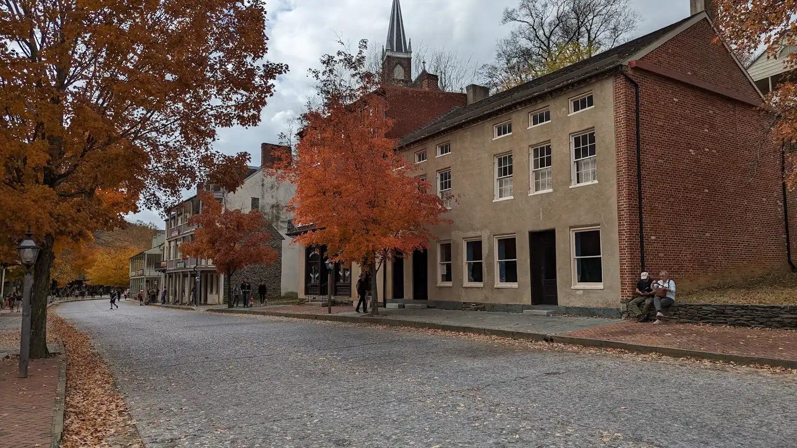
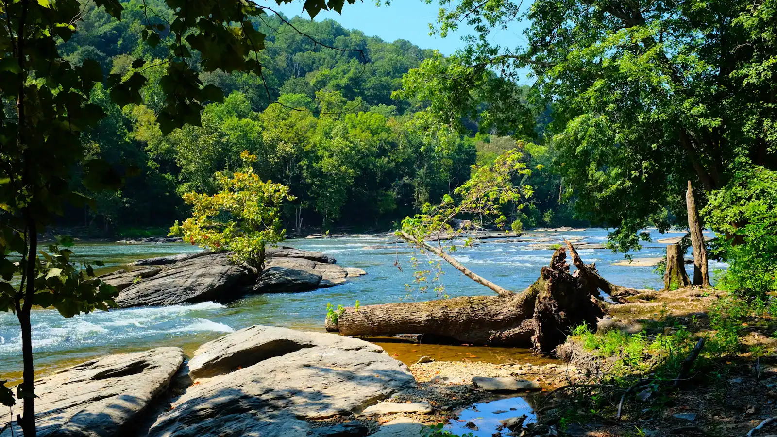
That imbalance explains almost everything about how a first visit goes. This is a very small town on a very small piece of flat ground — a triangle where the Shenandoah runs into the Potomac at a gap in the Blue Ridge, with West Virginia underfoot, Maryland across one river and Virginia across the other. Most of that triangle is Harpers Ferry National Historical Park. The streets are exhibits. The shops are in buildings the Park Service maintains. There is nowhere to put a car and there never was.
Three crowds, one square mile
The thing nobody tells first-timers is that three quite different sets of people come here, want different days, and keep bumping into each other on the same set of stone steps.
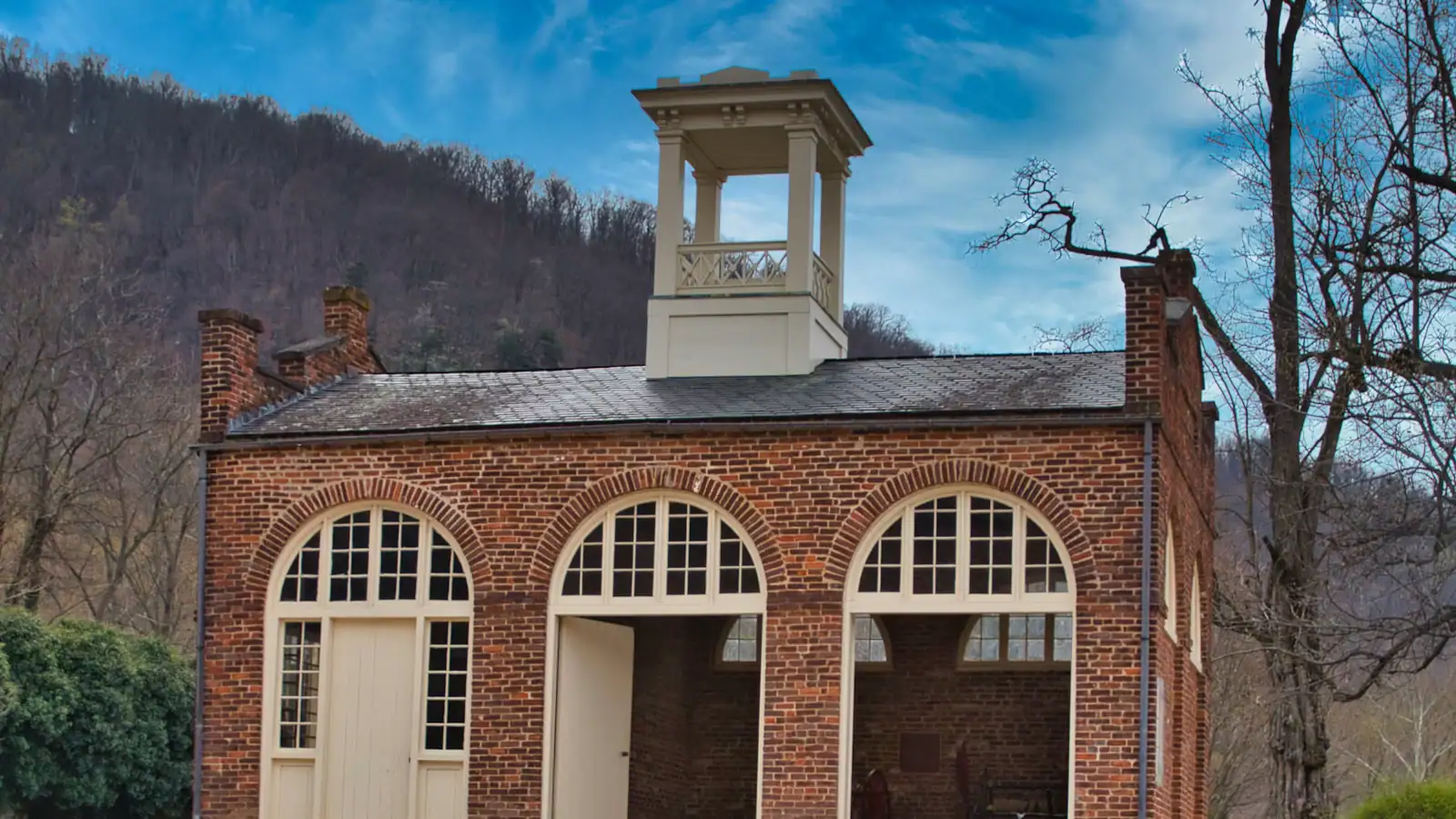
People who came for 1859. John Brown seized the federal armoury here in October 1859 and was hanged for it at Charles Town that December. That raid is why the name is known. This group wants exhibit buildings, John Brown's Fort, Storer College on Camp Hill, and time to read.
People who came to walk. The Appalachian Trail comes down the hill, along the streets and over the footbridge into Maryland. The Appalachian Trail Conservancy has its headquarters up on Camp Hill. Maryland Heights, on the far bank, is the strenuous climb that produces the photograph everyone recognises. This group wants boots, water and daylight.
People who came for the water. The lower Shenandoah runs class I to III in season and higher in the spring melt, and rafting, tubing and kayaking are a genuine local industry between roughly April and October. This group wants a shuttle bus to a put-in and a dry bag.
You can combine any two of the three in a day. All three is a weekend. Trying to do all three in six hours is the classic first-timer's mistake and it produces a day of hurrying.
How the place is laid out
- Lower town. The historic streets — Shenandoah Street, Potomac Street, the bottom of High Street — on the flat ground at the confluence. Nearly all the exhibit buildings, John Brown's Fort, the train station and the Point are here.
- Camp Hill. Up a set of stone steps cut in 1810. Jefferson Rock, St Peter's Roman Catholic Church, the old Storer College campus and the Appalachian Trail Conservancy. Ten to fifteen minutes of climbing from the bottom.
- Bolivar. The ordinary town above the park, where a good share of the restaurants and guesthouses are.
- Cavalier Heights. The plateau off US 340 where the visitor centre and the main parking lot sit, a couple of miles above the lower town.
- The heights. Maryland Heights across the Potomac, Loudoun Heights across the Shenandoah, Bolivar Heights behind the town. High ground on three sides, which is exactly why the place was indefensible in 1862.
The one piece of mechanics to get right
Park at the visitor centre, 171 Shoreline Drive off US 340, and take the free shuttle down. It runs every ten to fifteen minutes from 9 a.m., and the last bus back is 7 p.m. in summer and 5.30 p.m. once the clocks go back. Driving into the lower town to look for a space does not work and never has.
Entrance fees at the time of writing are $20 a vehicle, $15 a motorcycle or $10 a head on foot, each valid three consecutive days, with under-16s free. The park takes no cash at all. Museums and the visitor centre open 9 a.m. to 5 p.m.; trails and the lots run from half an hour before sunrise to half an hour after sunset. The full mechanics are in our parking and shuttle guide, and it is worth ten minutes before you drive.
How long you need
| You have | Do this | Skip |
|---|---|---|
| 2 hours | Lower town only: Shenandoah Street exhibits, John Brown's Fort and the obelisk, the Point | every climb |
| 4 hours | The above plus the stone steps to Jefferson Rock, and either the footbridge and towpath or Camp Hill | Maryland Heights |
| A full day | Lower town, Camp Hill and Storer College, and Maryland Heights or a half-day on the river | trying to fit both |
| A weekend | All of the above, plus Antietam 17 miles north or Charles Town for the courthouse | nothing |
Four hours is the honest minimum for a place that takes an hour and a half to reach from Washington. Two hours gets you the raid without its consequences.
What first-timers consistently get wrong
Wearing the wrong shoes
Almost nothing here is flat. The lower town is cobbled and uneven, the steps to Jefferson Rock are 1810 stonework worn smooth, and the heights are proper climbs. Trainers at minimum.
Assuming the town is the park
The park boundary runs through the streets in a way that is not obvious on the ground. Some buildings are federal exhibits with rangers in them; the one next door is a private bookshop. Both are worth your time and only one keeps park hours.
Underestimating Maryland Heights
It is 4.5 to 6.5 miles round trip with somewhere between 990 and 1,788 feet of climb depending on the route, and it is rated moderately strenuous to strenuous. There is no water on it. It is not an after-lunch stroll and people attempt it as one every weekend.
Coming at 11 a.m. on an October Saturday
The single busiest hour of the year. Come at half past eight or after three.
Skipping Camp Hill
Storer College was founded in 1867 to educate people freed by the Thirteenth Amendment, and in 1906 the Niagara Movement held its first meeting on American soil on that campus. Most day-trippers never climb the steps. It is the part that changes what the raid means.
Why the town looks the way it does
Harpers Ferry has been half-abandoned more than once. The armoury that made the place — begun in 1799, better than 600,000 muskets, rifles and pistols turned out between 1801 and 1861 — was burned in 1861 to keep it from Confederate hands and never rebuilt. The Civil War changed hands here repeatedly. Then the rivers went to work: the flood of 1936 left the lower town shabby and nearly uninhabited, and finished off what was left of the industrial buildings on Virginius Island, with more loss in 1942.
What you are walking through is not a preserved nineteenth-century town. It is a town that failed, flooded, emptied out, and was then rebuilt as an exhibit by the Park Service from 1944 onwards. That is a more interesting thing to be standing in, and it explains why the buildings look older and better kept than the economy that once supported them.
The first twenty minutes, in order
- Park at 171 Shoreline Drive. Pay at the entrance station by card.
- Use the visitor centre's toilets before you board. The ones in the lower town exist but queue.
- Ask the ranger on the desk two questions: which exhibit buildings are open today, and whether anything on the heights is closed.
- Take the shuttle. Ten to fifteen minutes between buses, a few minutes to ride.
- Get off and walk downhill to the Point first, not up High Street. Two rivers, three states, the whole geography in one look, and it takes four minutes.
- Then work back up through Shenandoah Street with the buildings in front of you.
Doing the Point first costs nothing and orients everything that follows. Doing it last, which is what happens if you follow the crowd off the bus, means you have already looked at six exhibits without knowing where you are.
What a first visit costs
The park fee is the only compulsory cost: $20 a vehicle, $15 a motorcycle or $10 a head on foot at the time of writing, each covering three consecutive days. The shuttle, every exhibit building, the trails, the towpath and the footbridge are all included. Under-16s are free and an America the Beautiful pass covers the lot.
That makes a history day here close to free once you have arrived, which is unusual. A family of four can spend six hours and pay $20.
What costs money is the water. Guided rafting and tubing on the Shenandoah are a separate commercial business run by outfitters outside the park boundary, priced per person and booked direct. Ghost walks and guided history tours in the evening are the other paid option and a small market.
If a fee-free day suits your calendar, the park waives entrance on eight dates in 2026. Note that from this year the waiver applies to US citizens and residents only, and that free days are also the busiest days.
Last updated
Opening hours, ordinances and prices move with the season. We re-check this guide rather than rewrite it, and the date above is the last time someone did. How we research and correct.