Skip to content
Menu

A booking made through these earns us a commission from Viator. The price is the same, and the commission had no bearing on what is recommended.

Viewpoint

The Point

Last updated

Ninety seconds from the shuttle stop, level the whole way, and the only spot where the town's geography explains itself.

Shenandoah Street runs out of buildings and ends on a paved apron above the water, and that is The Point. It takes ninety seconds to reach from the shuttle stop, it is flat, it costs nothing beyond the park entrance fee, and it is the most useful two minutes anyone spends here. Every argument this town has ever been part of — the ferry, the armoury, the raid, the surrender of a garrison, the floods — starts with the shape of the ground you can see from it.

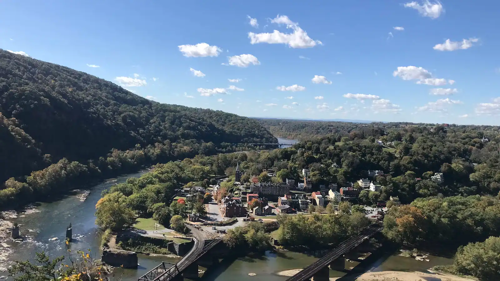
The Shenandoah arrives from your left, having run north-east up its valley for a hundred and fifty miles. The Potomac arrives from your right. They join directly in front of you and leave together through the gap in the Blue Ridge, heading for Washington and eventually Chesapeake Bay. Three states meet at the confluence: you are standing in West Virginia, the cliff across the Potomac is Maryland, and the ridge across the Shenandoah is Virginia. Very few places in the country let you see three states without turning your head more than ninety degrees.

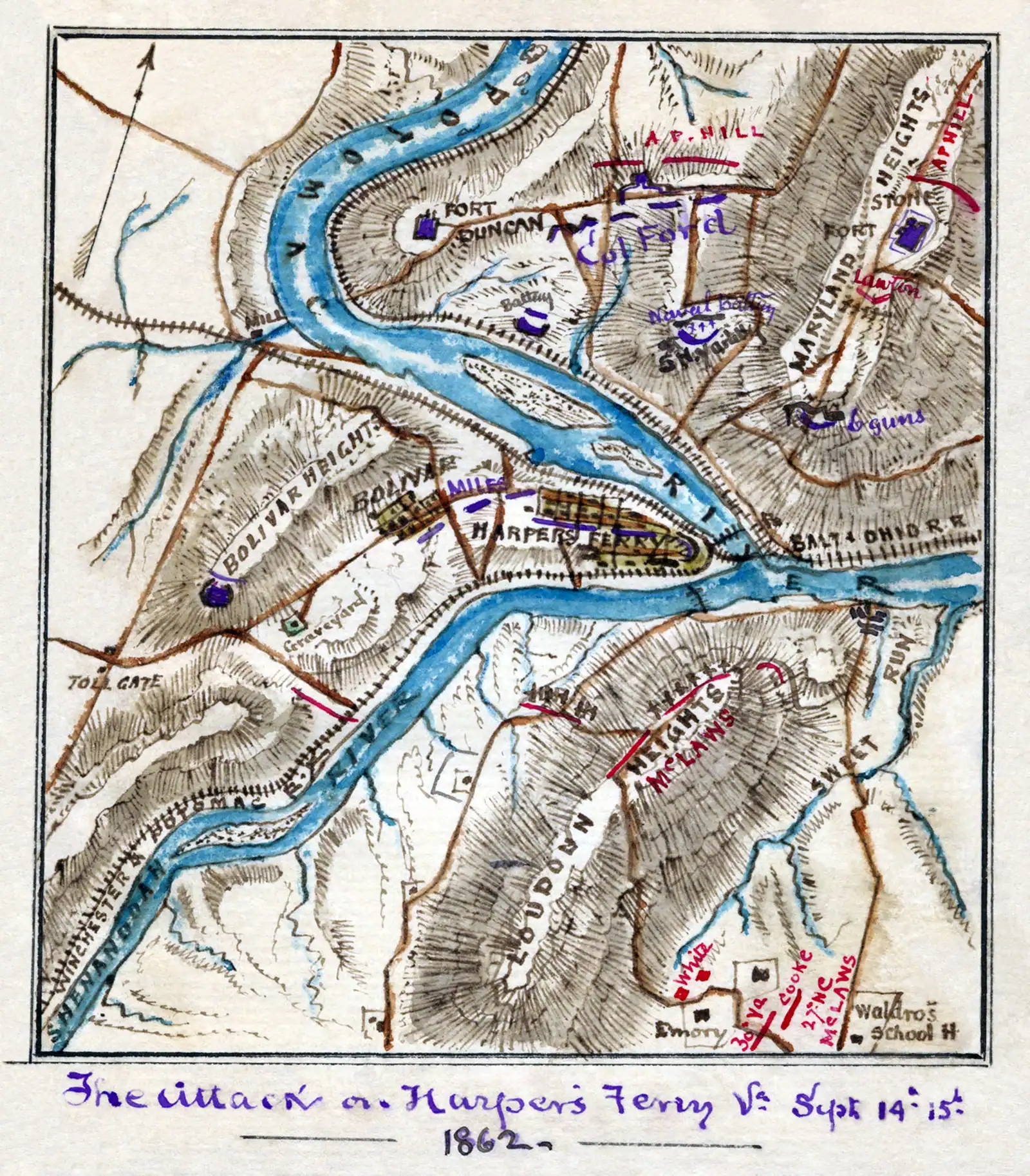
The high ground is the other half of the story. Maryland Heights rises to about 1,448 feet directly opposite, nearly a thousand feet above where you are standing, and Loudoun Heights stands over the Virginia side. Harpers Ferry itself sits at roughly 509 feet — the lowest point in West Virginia. Look at those three ridges and the reason the town was indefensible becomes obvious without anybody explaining it. In September 1862 Confederate artillery on all three heights forced a Union garrison of about 12,500 men to surrender in something under two days.

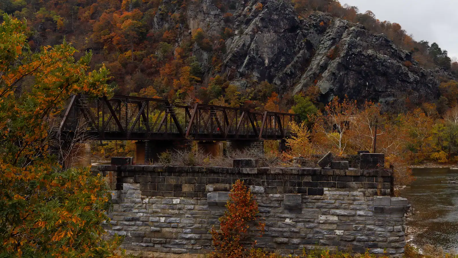
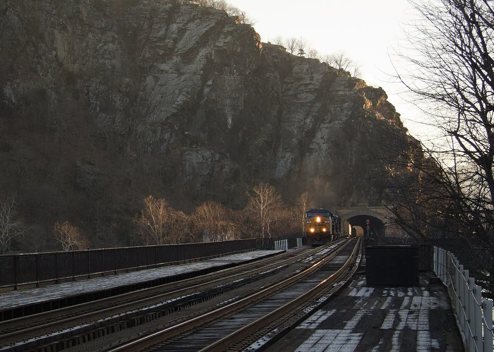
Then look at the bridges. The steel railroad bridge in front of you dates from 1894 and is still in daily use; the trains cross the Potomac and vanish straight into a tunnel bored through the cliff opposite. Beside it, standing in the water, are the stone piers of earlier bridges that the river and the war took away. The piers are the honest monument here. They are what is left of every attempt to cross this particular water.

Getting there and parking

Get off the shuttle in the lower town, walk to the end of Shenandoah Street with the river on your right, and keep going until the buildings stop. Ninety seconds, level, paved.

From the railway station platform it is a two-minute walk down the ramp and along the same street.

This is the most accessible major viewpoint in the park by a wide margin — no steps, no gradient worth the name, and a hard surface all the way from the bus. If somebody in your group cannot manage the stone steps to Jefferson Rock or the climb to Maryland Heights, this is where you take them, and they are not getting a consolation prize. The confluence view is the one the whole town is arranged around.

Reading the view, left to right

Left, upstream on the Shenandoah. The water comes down over broken ledges — the tail of the run that rafting parties finish on. The wooded ridge above the far bank is Loudoun Heights, in Virginia. The ruins along the near bank, half swallowed by trees, are Virginius Island: mills, a rifle works and a tannery, emptied for good by the 1936 flood.

Centre, the confluence itself. The two rivers often arrive different colours after rain, because they drain different country: the Shenandoah runs off limestone valley farmland, the Potomac off a longer and more varied catchment. On a good day you can watch the line between them hold for a hundred yards downstream before it mixes.

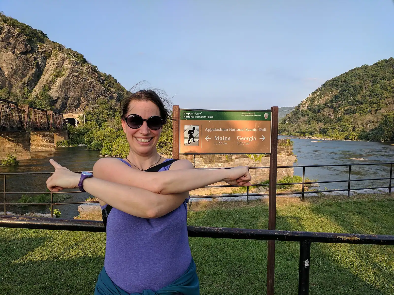
Right, downstream on the Potomac. The 1894 railroad bridge, the stone piers of its predecessors, and the footbridge cantilevered alongside carrying the Appalachian Trail. Behind and above, the cliff of Maryland Heights with the railway tunnel mouth in it.

Straight up. The wooded slope behind you climbs to St Peter's spire, Jefferson Rock and Camp Hill. Everything in this town is stacked vertically, and The Point is the floor of it.

What the river does to this spot

The apron you are standing on has been under water more times than the park cares to count. The Potomac crested at 36.5 feet here in March 1936, the record, and at 33.8 feet in October 1942. The lower town floods, the towpath floods, and the park closes both when it happens.

That is not a historical curiosity. It happens on a modern schedule, usually after heavy rain in the Shenandoah valley, and the warning sign is upstream weather rather than what is falling on you. If it has rained hard for two days west of here, check the park's conditions page before you drive.

Practical consequences at the confluence itself. Do not swim here. The water at a confluence of two substantial rivers is doing complicated things, there are ledges and old industrial ironwork on the bed, and the flow is much stronger than the flat surface suggests. There is no lifeguard, no designated swimming area and no easy exit.

Fishing is permitted in the park with the appropriate state licence, and the confluence is popular for smallmouth bass, but be aware you may be standing on the state line and licence rules differ either side of it.
When it is worth being here

First light. The Point faces roughly east down the Potomac gap, which makes this the sunrise spot in town. Trails and lots open thirty minutes before sunrise, so you can be here for it, though the shuttle does not start until nine — a sunrise visit means walking down or arriving by car and using the private lots.

Mid-morning, on the first shuttle. Nine o'clock buys you twenty quiet minutes before the coaches and school parties. By eleven on an October Saturday there are forty people on an apron built for ten.

After rain. The best day to see the two rivers running different colours, and the noisiest the Shenandoah ledges ever get.

Winter. Bare trees mean you can actually see Virginius Island's ruins from here, and the shape of Loudoun Heights, instead of a green wall.

Five minutes is enough to look. Fifteen is better, because the trains come through often enough that waiting for one is a reasonable plan, and a freight crossing the 1894 bridge and disappearing into the rock face is the single best photograph in the lower town.

Near The Point

Straight-line distances, so allow more on the road — the island is long and has one main parkway.

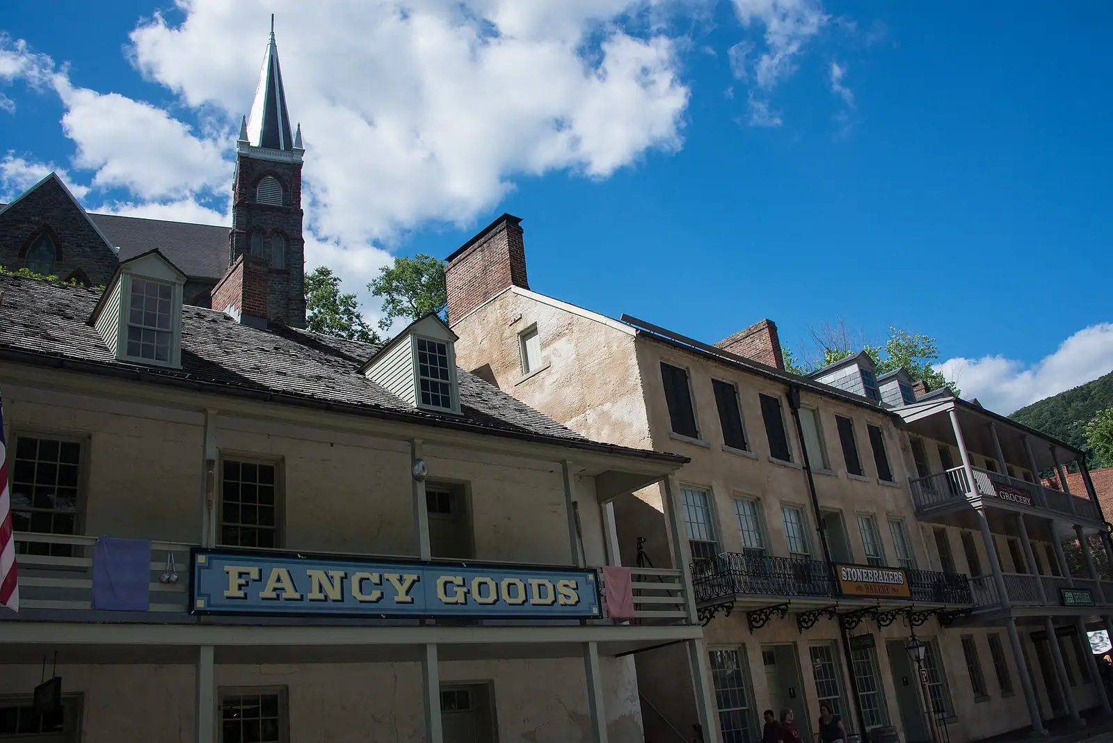
  • A narrow street of nineteenth-century shopfronts running uphill between stone kerbs

    Neighbourhood

    Lower Town Harpers Ferry

    Two streets and a flight of stone steps, all of it inside a national park, with the high-water marks still on the walls.

    2–5 hoursPark entrance fee applies; National Park Service exhibit buildings are then free to enter530 ft away

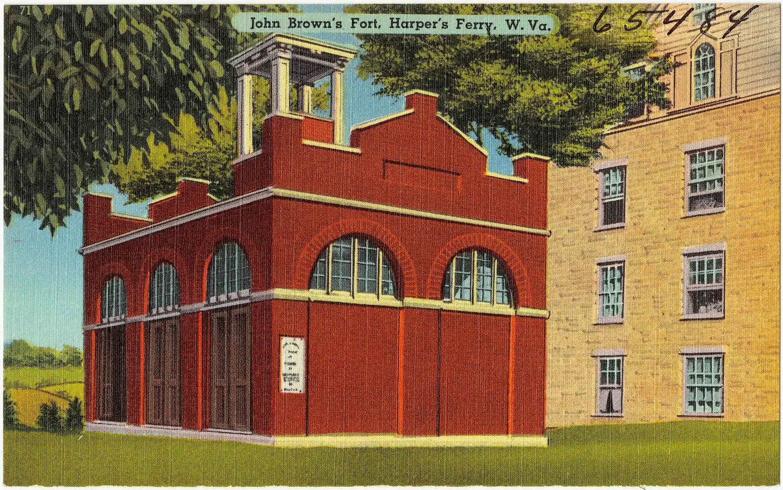
  • A squat brick building with a small square tower and an arched doorway, standing alone on open ground

    Historic site

    John Brown's Fort

    An 1848 fire engine house, the only armoury building to survive the war, and it does not stand where any of this happened.

    10–30 minutesCovered by the park entrance fee; no separate charge500 ft away

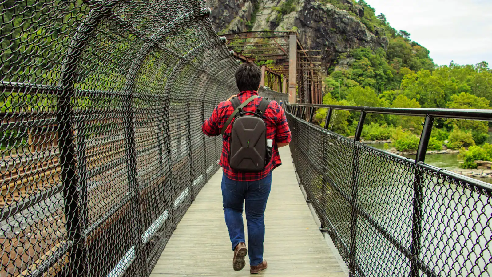
  • A walker crossing a river footbridge with a pack on their back, the far bank thick with trees

    Landmark

    Free

    Appalachian Trail Footbridge

    The walkway bolted to a working railroad bridge that carries the Appalachian Trail over the Potomac — closed since July 2026.

    10–25 minutesFree to cross when open; the park entrance fee applies to your vehicle640 ft away

  • A street of nineteenth-century shopfronts with stone kerbs running between them

    Historic site

    Shenandoah Street

    The one level street in the lower town: park museums door by door, the shuttle stop, and the restored shopfronts of an 1860s street.

    1–2.5 hoursIncluded with park entrance; the museums along the street carry no separate charge530 ft away

The Point: common questions

Can you see three states from The Point in Harpers Ferry?

Yes. You stand in West Virginia, the cliff across the Potomac is Maryland, and the ridge across the Shenandoah is Virginia, and all three are in view without moving your feet. The three state lines meet at the confluence itself. It is one of very few places in the United States where three states are visible in a single glance, and it takes about ninety seconds to walk there from the shuttle stop.

Which rivers meet at Harpers Ferry?

The Shenandoah and the Potomac. The Shenandoah arrives from the south-west after running north-east up its valley, joins the Potomac at the foot of the town, and the combined river leaves east through a gap in the Blue Ridge on its way to Washington and Chesapeake Bay. The town sits at about 509 feet at the junction, which is the lowest elevation in West Virginia.

Can you swim at the confluence in Harpers Ferry?

No, and it is a bad idea rather than merely a prohibited one. The water where two substantial rivers meet moves in complicated ways, the bed carries rock ledges and nineteenth-century industrial ironwork, and the current is far stronger than the flat surface suggests. There is no lifeguard and no designated swimming area. If you want to be in the water here, book a guided float or tubing trip on the Shenandoah upstream, where outfitters run within the section they know.

Is The Point wheelchair accessible?

Yes, and it is the most accessible significant viewpoint in the park. The route from the shuttle stop runs along Shenandoah Street on a hard, effectively level surface with no steps, and the viewing apron at the end is paved with railings at the water's edge. The shuttle buses from the visitor centre carry ramps or lifts. Accessible restrooms are in the lower town exhibit area, open nine to five.