Skip to content
Menu

A booking made through these earns us a commission from Viator. The price is the same, and the commission had no bearing on what is recommended.

Historic site

Bolivar Heights

Last updated

Flat, open and five minutes from the car park: the battlefield where a Union garrison of 12,500 surrendered in two days.

Photo: NyttendPublic domain

Everything else worth seeing in Harpers Ferry involves going up or down a hill. Bolivar Heights does not, and that single fact makes it the most underrated ground in the park.

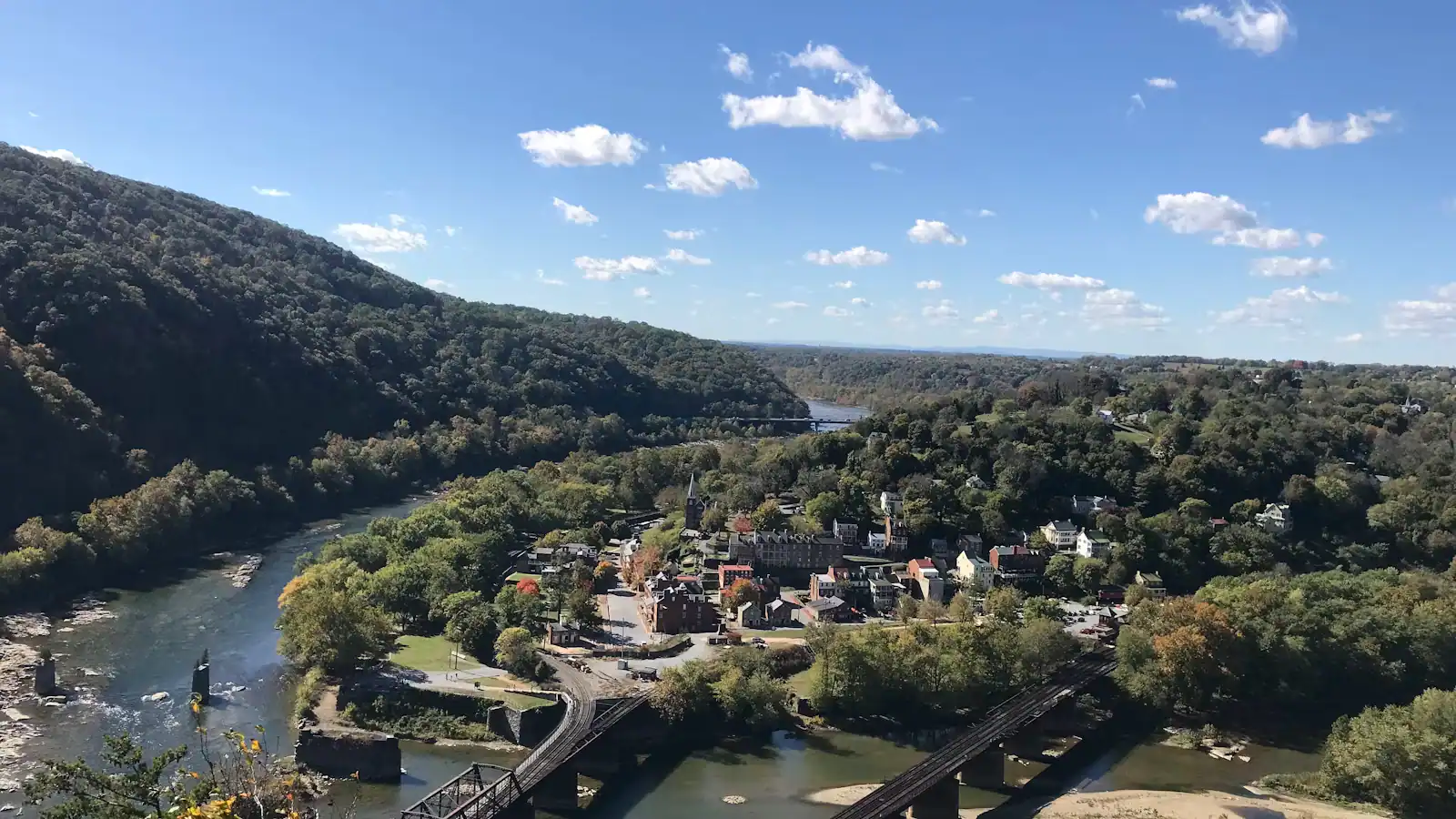
It is a low ridge lying across the neck of land between the Potomac and the Shenandoah, a mile or so west of the lower town, and its shape is the reason it matters. Water protects the town on two sides. Bolivar Heights is the third side — the only way an army can walk in. Every commander who ever had to hold this place drew his line here, faced west, and hoped.

In September 1862 that was not enough. Stonewall Jackson, moving ahead of Lee's invasion of Maryland, split his force and put artillery on all three heights at once: McLaws on Maryland Heights across the Potomac, Walker on Loudoun Heights across the Shenandoah, and Jackson himself closing from the west onto this ridge. The Union garrison under Colonel Dixon Miles was dug in facing him with its back to the rivers and enemy guns a thousand feet above both flanks. After a day and a half of bombardment it surrendered. Roughly 12,500 men went into captivity, which is generally cited as the largest surrender of United States troops until Bataan in 1942. Miles was mortally wounded by one of the last shells fired, after the white flag went up. Antietam was fought two days later, thirteen miles north.

What is here now is a mown field on a broad ridge with a short walking route, cannon, a handful of interpretive panels and a genuinely wide view — the Blue Ridge to the east, the folded ridges of the Shenandoah valley to the west, and the gap where the rivers leave. It has its own parking area, so no shuttle is involved. In late October it gives you as much colour as the heights do, for the cost of a five-minute walk.

Most visitors never come. On an October Saturday when the Maryland Heights overlook has a queue, you can have this ridge more or less to yourself.

Getting there and parking

Drive. This is one of the few parts of the park where that is the right answer, because Bolivar Heights has its own parking area and the shuttle does not come here.

From the visitor centre on Cavalier Heights it is a few minutes by road, heading into Bolivar and following the park signs for the battlefield. From the lower town it is a mile and a half uphill on foot through Bolivar, which is a perfectly good walk and one almost nobody does.

Keep your entrance receipt or pass on the dashboard; it covers this unit as well as the lower town, and it runs three consecutive days.

If you are already driving on to Antietam, Shepherdstown or Charles Town afterwards, this is the natural last stop on the way out of town — you are heading west anyway, and you finish the day on the ground that explains what happened at Antietam two days later.

Why the line was always drawn here

Stand on the ridge facing west and the tactical problem is laid out in front of you. Harpers Ferry sits in a bowl at the meeting of two rivers, which is excellent for water power and terrible for defence. The Potomac closes the north side, the Shenandoah the south. The only ground an army can march in on is this neck, and Bolivar Heights runs straight across it.

So a garrison holding the town faces west from here, and that is what the Union did in 1861, in 1862 and again for most of the rest of the war. The earthworks and the gun positions follow the crest.

The catastrophic weakness is behind you. Turn around and look east: Maryland Heights on the left, Loudoun Heights on the right, both of them the better part of a thousand feet above the town. A defender on Bolivar Heights with hostile artillery on those two ridges is not holding a position, he is standing in a box.

Union commanders understood this perfectly well. The garrison was there because the Baltimore & Ohio Railroad and the C&O Canal ran through the town and Washington wanted them held. It is a clean example of a position occupied for political and logistical reasons against the plain advice of the terrain.

Two days in September 1862

Lee crossed into Maryland in early September and could not leave a Union garrison of twelve thousand sitting on his supply line. Jackson was sent to remove it, and he did it by geometry rather than by assault.

Three columns, three ridges. McLaws took Maryland Heights on 13 September after a sharp fight in the woods. Walker occupied Loudoun Heights. Jackson brought his own divisions round from the west and formed on the ground you are standing on.

By the morning of 15 September the Confederate batteries could reach every part of the Union position from above and from both flanks. The bombardment converged. Miles, out of options and with his artillery ammunition failing, raised the white flag. He was hit by a shell fragment as the surrender was being arranged and died the next day.

Around 12,500 men, 13,000 small arms and 73 pieces of artillery were taken. Jackson left A. P. Hill to process the surrender and marched the rest of his force north through the night, arriving at Sharpsburg in time for 17 September — and Hill's division came up from here later that afternoon at the moment that arguably saved Lee's army.

Two days, thirteen miles, and the two events are usually taught separately. Standing here, they are obviously one story.

The walk, and who it suits

This is the easiest significant site in the park and the answer to several awkward planning problems.

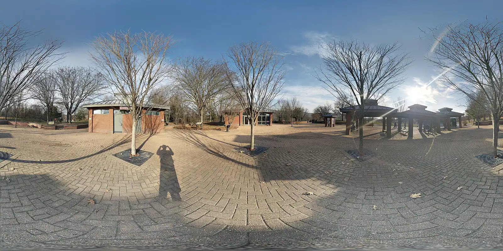
There is a parking area at the site itself, west of the lower town, so no shuttle is required and no hill is involved. From the car it is a few minutes on mown grass and gravel to the crest, with cannon, panels and the view.

Take people here who cannot manage the stone steps or the switchbacks. The surface is grass rather than paving, so it is not formally accessible in the way The Point is, but the gradient is gentle and the distances are short.

Take children here. Open field, cannon they can walk around, room to run, and the story is legible from the ground in a way it is not in a museum room.

Come in late October. You get the same colour the climbers get, from a ridge, without the climb.

Come at the end of the day. West-facing, so the evening light across the valley is the best of it, and you are not tied to the last shuttle.

Bring water and a hat. The ridge is open with very little shade, which is pleasant in April and hard work at two in the afternoon in July.
Reading the view from the crest

East. The gap in the Blue Ridge where the combined river leaves, with Maryland Heights on the left and Loudoun Heights on the right. Those are the guns that ended the siege, and from here you can see exactly how completely they overlook the bowl.

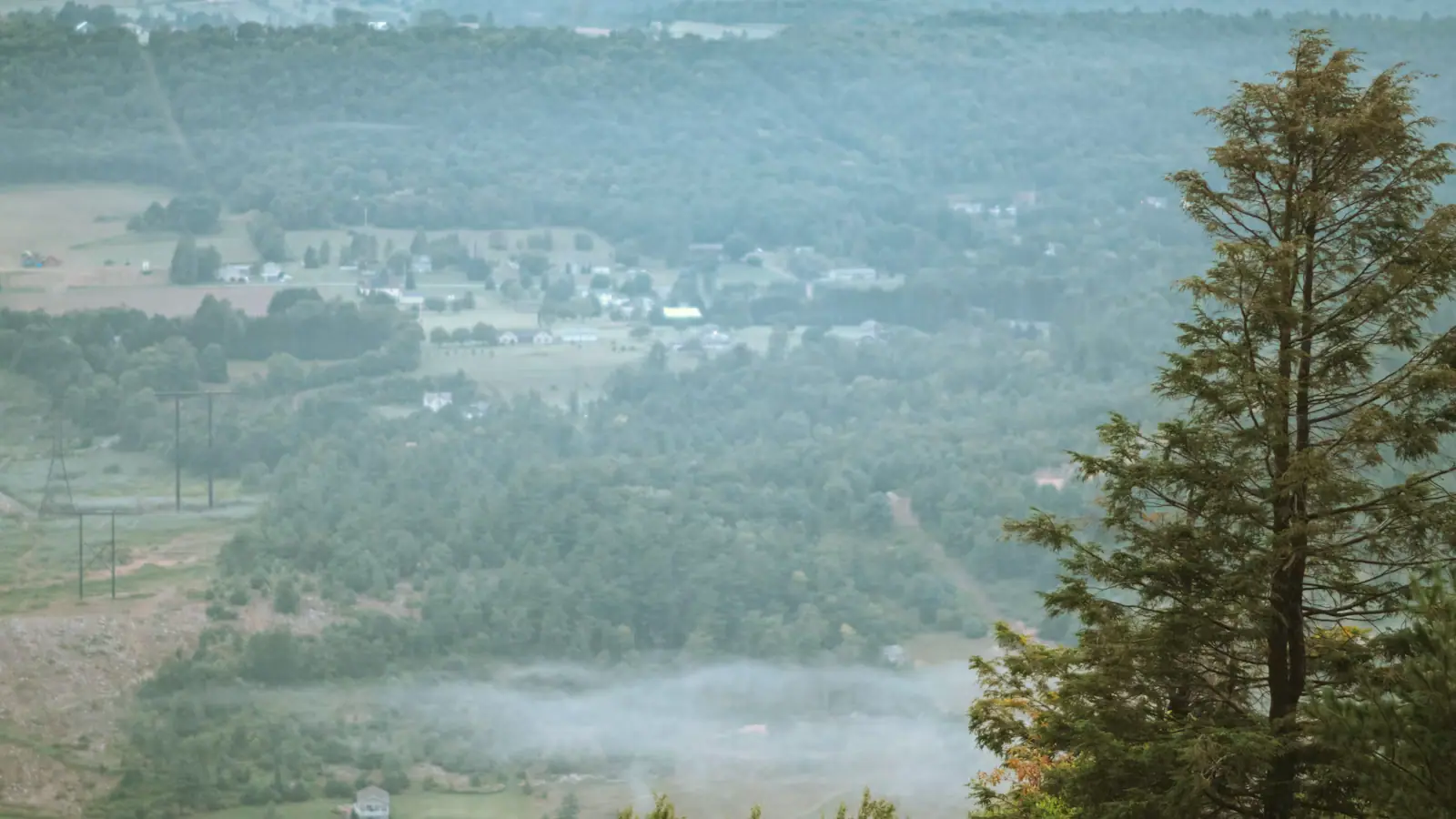
West. The Shenandoah valley opening out, ridge behind ridge, which is the direction Jackson came from and the direction every threat to this town arrived from.

Underfoot. The crest carries the remains of earthworks and gun positions, weathered and grassed over. The park's cannon are placed to indicate the line rather than to mark exact wartime pieces.

South. Schoolhouse Ridge, the next parallel ridge west, where Jackson's own line formed. Part of that site is also in the park, though the southern loop there has been closed for sinkholes.

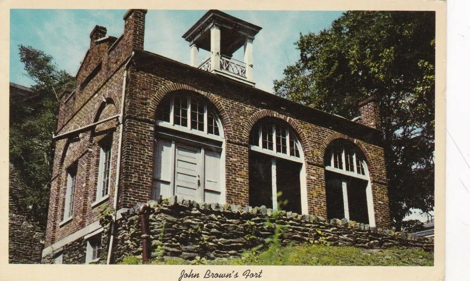
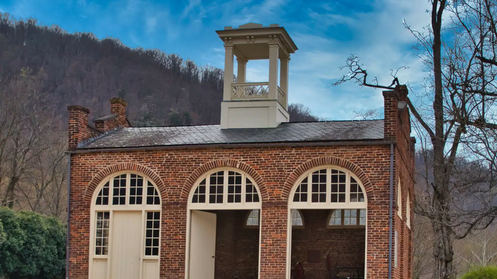
North-west. Murphy Farm, another park unit on this side, which is where John Brown's Fort stood between 1895 and 1909 after it came back from Chicago. The building's fourth home and the only one of its five locations you can walk to from here.

Near Bolivar Heights

Straight-line distances, so allow more on the road — the island is long and has one main parkway.

  • A walker carrying a full pack on a trail above a river, trees thick on the far bank

    Neighbourhood

    Free

    Bolivar

    A separate town on the ridge above the lower town, four times the size of Harpers Ferry, where the rooms and the kitchens actually are.

    1–3 hoursFree. Bolivar is a town, not a park site, and carries no entrance fee0.4 mi away

  • A small town of pale rooftops and a church spire below wooded hills and river water, seen from above

    Landmark

    Cavalier Heights Visitor Center

    The park's only real car park, the fee station and the shuttle stop. Set your navigation here, not to the town.

    20–45 minutesPark entrance at the time of writing: $20 per vehicle, $15 per motorcycle, $10 per person on foot or bicycle, each valid three consecutive days0.4 mi away

  • A whitewashed stone-walled house on a steep bank, its garden held up by a dry stone retaining wall

    Historic site

    Free

    Storer College

    A college founded to educate people who had been enslaved, closed in 1955 by the consequences of a civil rights victory.

    0.5–1.5 hoursFree; covered by the park entrance fee charged on your vehicle1 mi away

  • A whitewashed stone-walled house standing on a steep bank above a dry stone retaining wall

    Neighbourhood

    Camp Hill

    The terrace above the lower town: Storer College, the 1906 Niagara Movement meeting, and the view without the queue.

    1–1.5 hoursIncluded with park entrance; the grounds carry no separate charge0.9 mi away

Bolivar Heights: common questions

What happened at Bolivar Heights?

In September 1862 a Union garrison of roughly 12,500 men, dug in along this ridge facing west, was surrounded by Confederate artillery placed on all three heights around the town at once. After a day and a half of converging bombardment the garrison surrendered — generally cited as the largest surrender of United States troops until Bataan in 1942. Its commander, Colonel Dixon Miles, was mortally wounded by a shell after the white flag went up. Antietam was fought two days later, thirteen miles north.

Is Bolivar Heights worth visiting?

Yes, particularly if anyone in your group cannot manage the climbs. It has its own parking area a few minutes from the visitor centre, the walking is flat and short on mown grass, and the ridge gives a wide view east to the river gap and west up the Shenandoah valley. It is also the ground where the town's largest single event happened, and it is almost always quiet — even on the October Saturdays when Maryland Heights is queueing.

Do you need to take the shuttle to Bolivar Heights?

No. Bolivar Heights has its own parking area west of the lower town and the shuttle does not serve it, so you drive there directly. Your park entrance pass covers it and is valid for three consecutive days. If you would rather walk, it is about a mile and a half uphill from the lower town through the village of Bolivar, which is a pleasant route and one hardly anybody uses.

Where is the best view of Harpers Ferry without hiking?

Bolivar Heights for the wide ridge-and-valley view, and The Point in the lower town for the confluence itself. Bolivar Heights needs a short walk on grass from its own car park and gives you the Blue Ridge, the river gap and the Shenandoah valley. The Point is level paving ninety seconds from the shuttle stop and puts you at the junction of the two rivers with three states in sight. Neither involves a single step.