Skip to content
Menu

A booking made through these earns us a commission from Viator. The price is the same, and the commission had no bearing on what is recommended.

Trail

Loudoun Heights

Last updated

The Virginia ridge across the Shenandoah: more climbing than Maryland Heights, fewer views, and almost nobody on it.

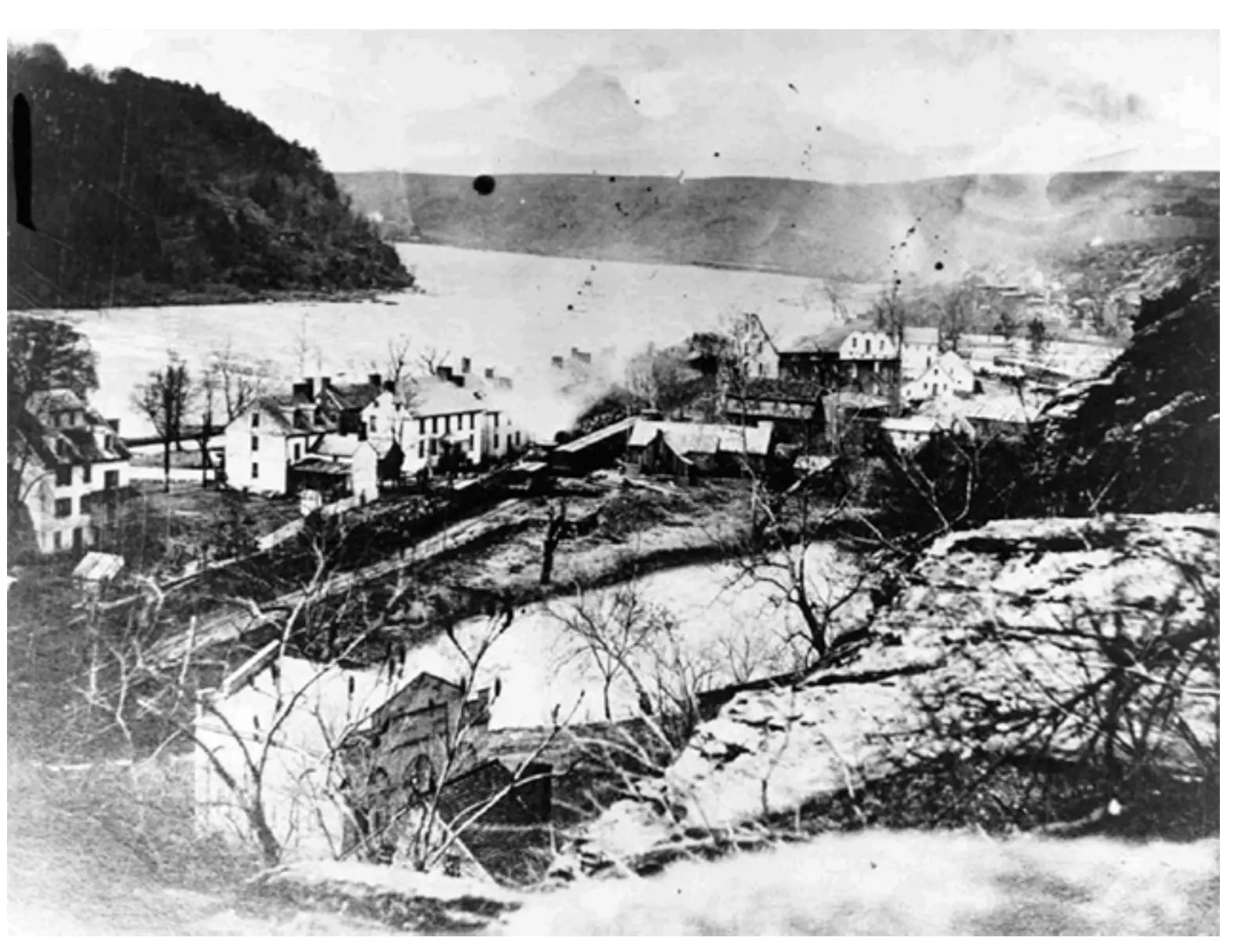
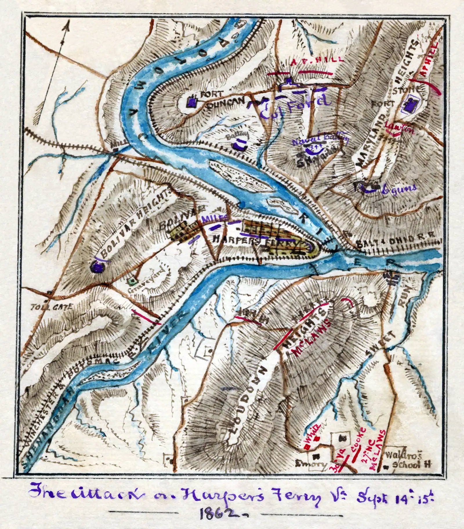
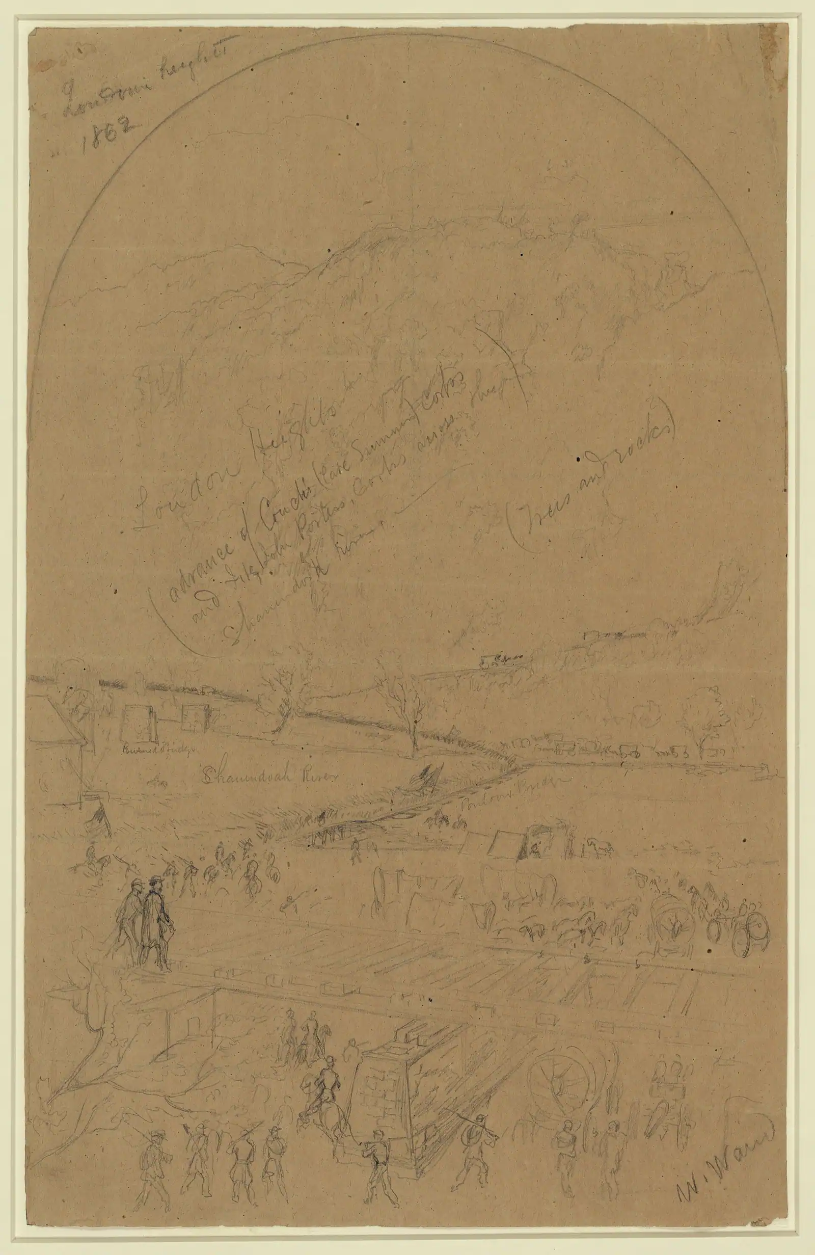
Photo: Waud, William, -1878, artistPublic domain

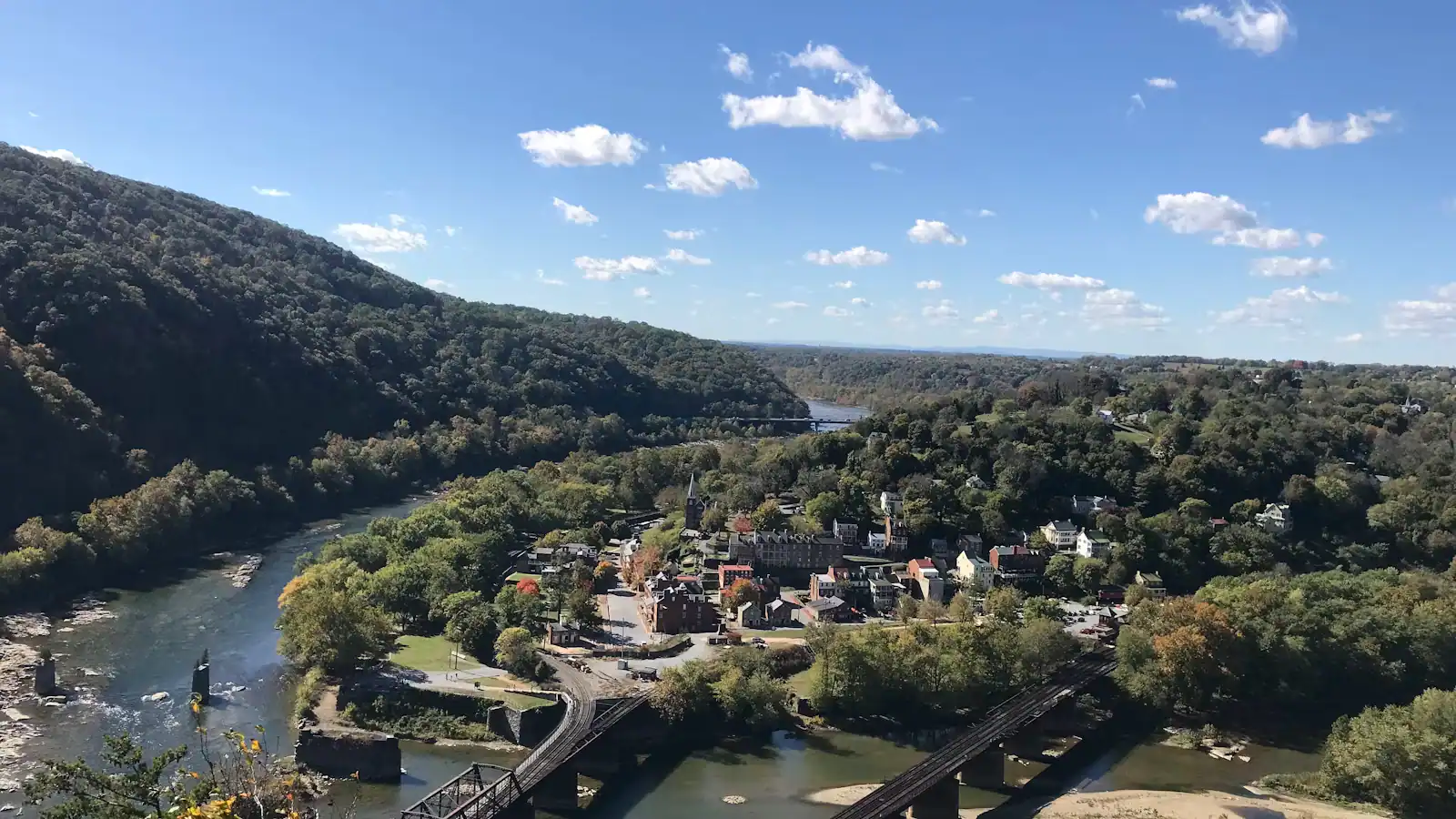
Three ridges stand over Harpers Ferry and the town's whole military history comes down to who held them. Two of them get visitors. Maryland Heights gets everyone, because of the photograph. Bolivar Heights gets families, because it is flat and you can drive to it. Loudoun Heights, the Virginia one across the Shenandoah, gets almost nobody, and this page is going to be straightforward about why.

It is the longest of the three walks and the least rewarded with views. Figure on seven to eight miles round trip if you start in the lower town, with something over a thousand feet of climbing and four to five hours on your feet. The Appalachian Trail does the work: leaving town southbound it crosses the Shenandoah on the walkway of the US 340 highway bridge — a genuinely odd stretch of the AT, with traffic a yard away — then turns uphill and climbs onto the ridge in a long series of switchbacks. From the ridge, a blue-blazed trail runs out along the crest to the old Confederate gun positions.

What is up there is real and it is mostly not visual. The ridge is wooded almost throughout. There are gaps and rock outcrops that open toward the confluence and the town, and in winter with the leaves down some of them are excellent, but there is no equivalent of the Maryland Heights overlook ledge and anybody expecting one will come back disappointed. What there is instead is solitude, which on an October Saturday when three hundred people are queueing for a photograph on the other side of the river is worth a great deal.

The history is the other argument for going. In September 1862 Stonewall Jackson put artillery on all three heights at once. John G. Walker's division took this ridge while McLaws took Maryland Heights and Jackson closed on Bolivar Heights from the west. With guns on Loudoun, a garrison in the bowl below had nowhere left to stand. The earthworks are still findable along the crest, and you will very likely have them to yourself.

Getting there and parking

On foot from the lower town, which is how almost everyone does it. Pick up the Appalachian Trail heading south-east along the Shenandoah past the Virginius Island ruins, cross the river on the pedestrian walkway of the US 340 highway bridge, and follow the white blazes uphill into Virginia. The climb starts as soon as you are off the bridge.

Add roughly a mile and a half each way for the town-to-bridge section on top of the ridge walking itself, which is why the round trip from the shuttle stop runs to seven or eight miles.

Anyone hoping to shorten the day by parking closer on the Virginia side should confirm current arrangements with the park before setting out. Roadside space near a trail crossing is limited, informal and not something worth driving on the assumption of. Park at the visitor centre on Cavalier Heights, take the shuttle, and walk it.

How the walk goes

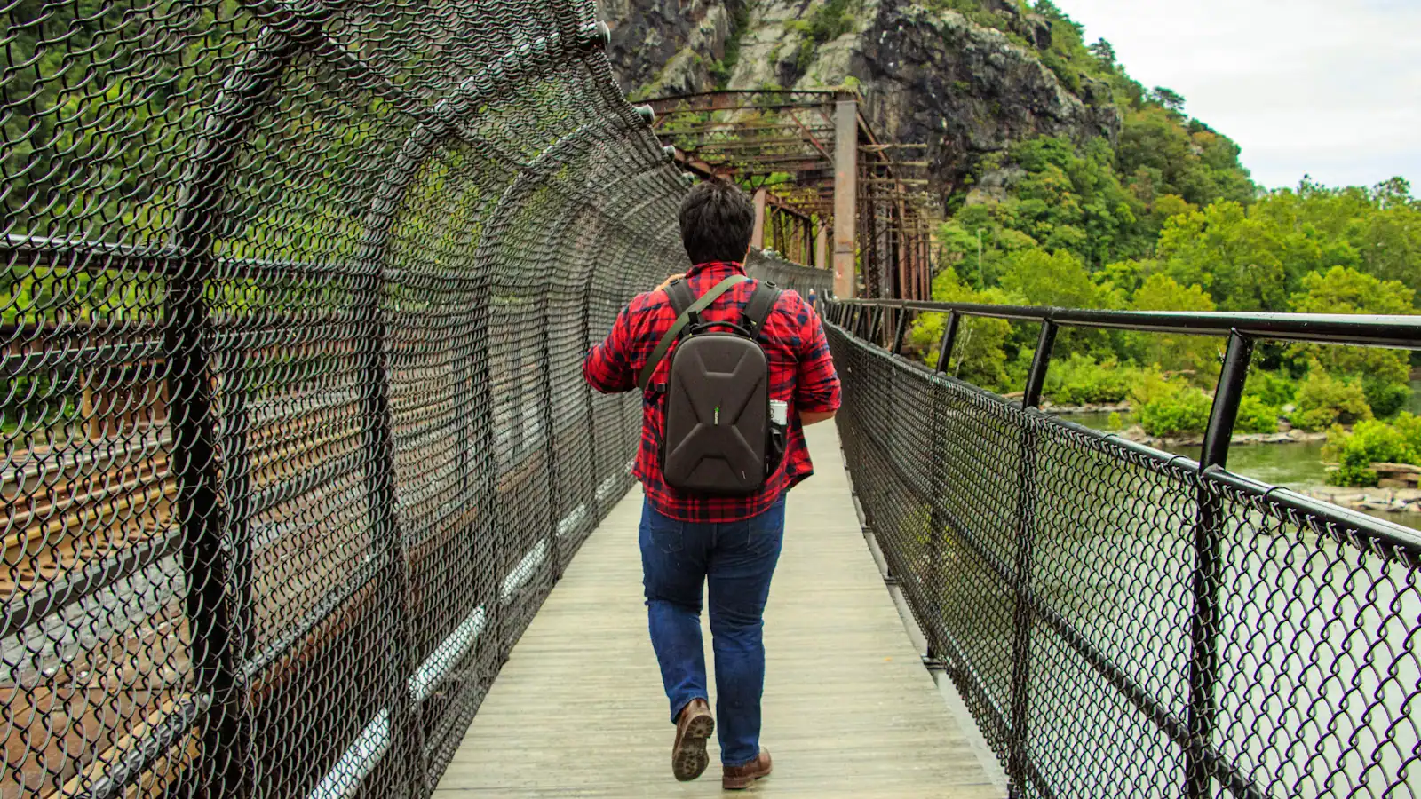
From the lower town the Appalachian Trail runs east along the Shenandoah, past the Virginius Island ruins, and reaches the US 340 bridge. You cross on the pedestrian walkway. It is fenced and perfectly safe, and it is also loud, exposed and about as far from a wilderness experience as a national scenic trail gets. Thru-hikers grumble about this crossing; it is part of the texture.

On the Virginia bank the trail leaves the road and climbs. The ascent is long rather than steep in any single place, working up through hardwood on switchbacks with decent footing. This is the pleasant part of the day.

At the ridge, junctions are signed. The white-blazed Appalachian Trail carries on south toward the Blue Ridge. The blue-blazed Loudoun Heights Trail branches north along the crest toward the old gun positions and the outcrops above the confluence.

Turn around at the end of the blue-blazed section and retrace. There is no loop and no sensible shuttle arrangement back into town, which is the second reason this walk stays quiet.

Navigation is straightforward if you pay attention at junctions. Carry a map or a downloaded track anyway. Phone signal on this ridge is unreliable.

Loudoun Heights against the other two

If you want the photograph, go to Maryland Heights. That is not a close call. The Overlook Cliff is the only place that produces the classic image of the town, and no amount of walking on the Virginia side substitutes for it.

If you want a view with almost no effort, go to Bolivar Heights. Flat, mown, its own parking area, and a wide look at the ridges from the middle of the 1862 battlefield.

Come to Loudoun Heights if you have already done the other two, if you are walking the Appalachian Trail anyway, if you want four hours in the woods within sight of a town of 269 people, or if you specifically want the Confederate artillery ground rather than the Union works across the river.

Come in winter. With the canopy off, the outcrops on this crest open toward the confluence and the town in a way they simply do not in July, and the walk turns from a good forest outing into a genuinely scenic one.

Do not come here first. A visitor with one day and one climb in them should spend it on the Maryland side.
The guns, and Mosby's night attack

September 1862 is the reason this ridge is in the history books. Jackson's three-way encirclement put Walker's division here, and the Confederate batteries on the three heights converged on a garrison of about 12,500 men in the bowl below. The surrender that followed was the largest of United States troops until Bataan in 1942, and Antietam was fought two days afterwards.

The lesser-known episode happened at the foot of these heights in January 1864, when Mosby's Rangers attacked the camp of Cole's Maryland Cavalry in a night raid and were driven off with losses on both sides. Accounts of the fight differ in their details, as accounts of Mosby's operations generally do, but the camp ground and the approach are on this hillside.

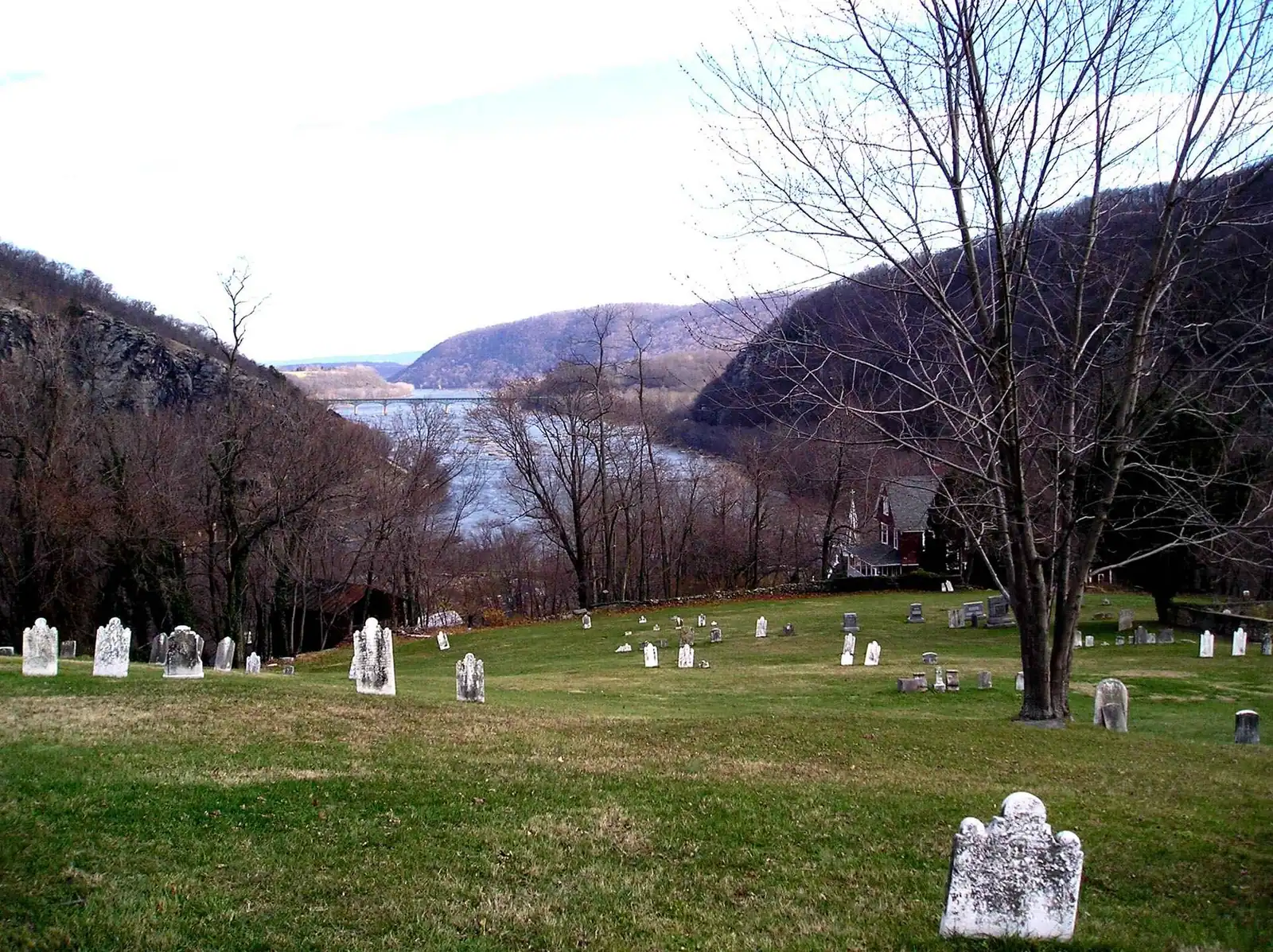
What survives is modest: earthworks, cut platforms, the outline of positions along the crest, all of it softened by 160 years of leaf litter and second-growth forest. There is little formal interpretation up here compared with the Maryland side.

That is part of the appeal for some people and a reason to skip it for others. If you want the story explained on a panel, the park does that better elsewhere. If you want to stand on a wooded ridge and work out for yourself why the guns went exactly there, this is the place.

What to carry and what to expect

  • Water for four to five hours. There is none on the ridge and no reliable source anywhere on the route.
  • A downloaded map or track. Signal is patchy on the crest and the blue-blazed spur has junctions that matter.
  • Boots or trail shoes. Rocky sections, roots and loose leaf cover on the descent.
  • Tick precautions between April and October. This is thick second-growth hardwood in a region where ticks are a genuine issue; long trousers and a check afterwards are sensible.
  • A start time, not an intention. Trails in the park are daylight hours only, and you want to be back down the switchbacks before dusk rather than during it.
  • Nothing to book. There is no outfitter, no ranger station and no facility of any kind on this ridge.

Parking is the awkward part. Most walkers start from the lower town via the shuttle and the highway bridge crossing, which adds the town-to-bridge mileage at both ends. Anyone planning to shorten it from the Virginia side should check current arrangements with the park first, because informal roadside parking near a trail crossing is not something we will point you at without confirmation.

Near Loudoun Heights

Straight-line distances, so allow more on the road — the island is long and has one main parkway.

  • Broken ledges of rock running across a shallow river between wooded banks

    Water feature

    Free

    The Shenandoah River

    Class I to III through the Staircase, Bull Falls at the bottom, and the only thing in this town with much to book.

    2–5 hoursFree to look at and walk beside; guided rafting, tubing and kayak trips are priced by the outfitter0.6 mi away

  • A stone-walled building on a steep bank with a dry stone retaining wall holding up the ground beside it

    Historic site

    Virginius Island

    A vanished factory town on the Shenandoah: mill walls, a canal race and 180 residents, all of it taken by flood.

    0.5–1.5 hoursIncluded with park entrance; no separate charge for the island0.6 mi away

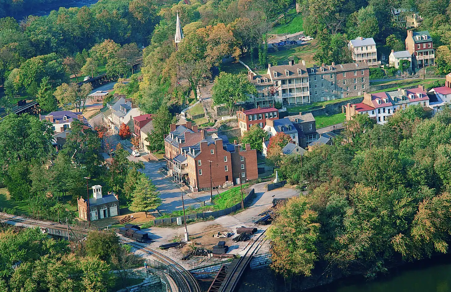
  • A small town of pale rooftops and a church spire seen from above, wrapped by wooded hills and river water

    Trail

    Free

    Maryland Heights Trail

    The cliff ledge that produces the photograph everyone has seen of this town, and about a thousand feet of climbing to reach it.

    3–5 hoursNo charge for the trail; the park entrance fee applies to your vehicle1.1 mi away

  • A walker crossing a river footbridge with a pack on their back, the far bank thick with trees

    Landmark

    Free

    Appalachian Trail Footbridge

    The walkway bolted to a working railroad bridge that carries the Appalachian Trail over the Potomac — closed since July 2026.

    10–25 minutesFree to cross when open; the park entrance fee applies to your vehicle0.8 mi away

Loudoun Heights: common questions

Is Loudoun Heights worth hiking?

It depends what you want. It is longer than Maryland Heights, climbs a comparable amount, and gives you far less view because the ridge is wooded throughout with no equivalent of the Overlook Cliff ledge. What it gives instead is solitude, Confederate artillery ground that almost nobody visits, and a good four hours in the woods. Come here after you have done Maryland Heights, not instead of it, and come between December and March when the leaves are down.

How long is the Loudoun Heights hike from Harpers Ferry?

Figure on seven to eight miles round trip from the lower town and four to five hours on your feet, with something over a thousand feet of climbing. About three miles of that total is the approach along the Shenandoah and the crossing of the US 340 bridge before the climbing starts. There is no loop option and no practical shuttle back, so it is an out-and-back on the same route.

Does the Appalachian Trail go over Loudoun Heights?

Yes. Heading south out of Harpers Ferry the Appalachian Trail crosses the Shenandoah on the pedestrian walkway of the US 340 highway bridge and climbs onto the Loudoun Heights ridge in Virginia before continuing along the Blue Ridge. A separate blue-blazed trail branches off the crest and runs out toward the old gun positions above the confluence, which is the section most day walkers come for.

Which Harpers Ferry hike has the best view?

Maryland Heights, without much argument. Its Overlook Cliff is the ledge that produces the classic aerial-looking photograph of the town between two rivers. Bolivar Heights gives you a wide ridge view for almost no effort and is the right answer for families and anyone short of time. Loudoun Heights is the walk you do for the quiet and the history rather than the panorama, and its best views only appear once the winter canopy is gone.