Skip to content
Menu

A booking made through these earns us a commission from Viator. The price is the same, and the commission had no bearing on what is recommended.

Attraction directory

Attractions in Harpers Ferry: What Stands Where

Last updated

A gazetteer of Harpers Ferry attractions: the lower town, John Brown's Fort, Jefferson Rock, the three heights, Storer College and what lies beyond town.

  • 28Places listed
  • 16Free to visit
  • 9Areas
A squat brick building with a small square tower and an arched doorway, standing alone on open groundUnsplash

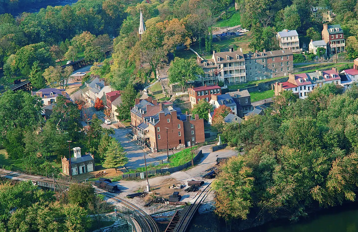
An attractions list usually ranks things. This one maps them, because in Harpers Ferry the only question that matters is what altitude a place sits at and which bank of which river it is on. Everything here is within about a mile of everything else, and the walk between two of them can be flat and four minutes long or four hundred steep feet and forty.

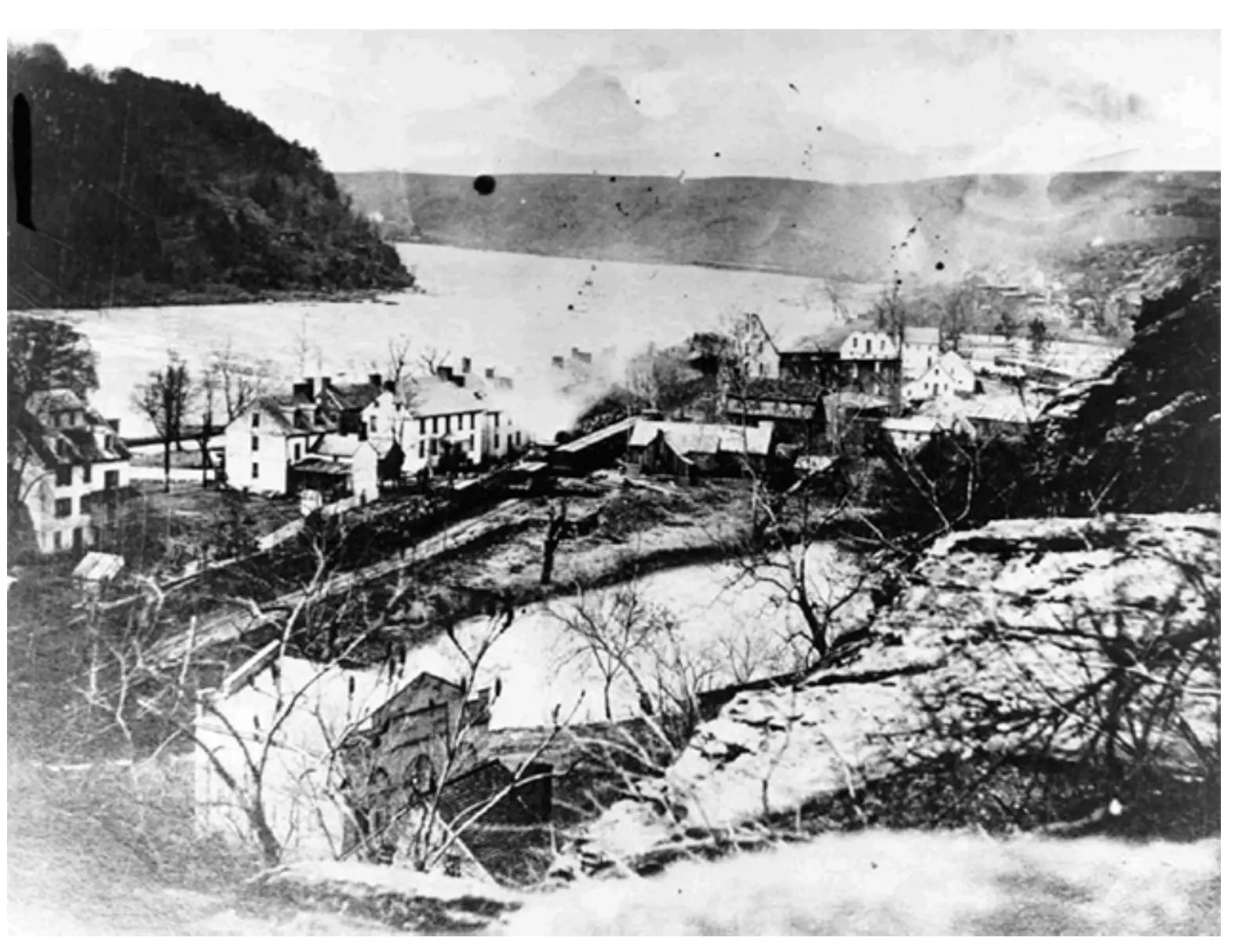
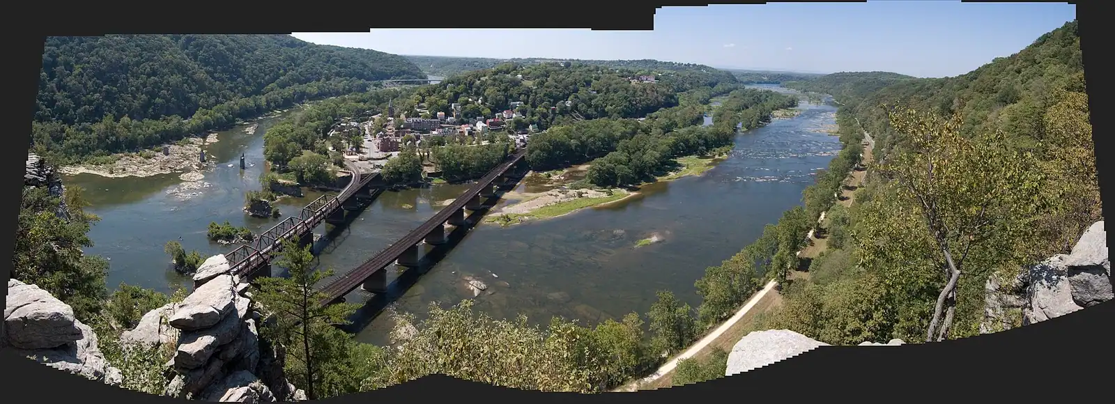
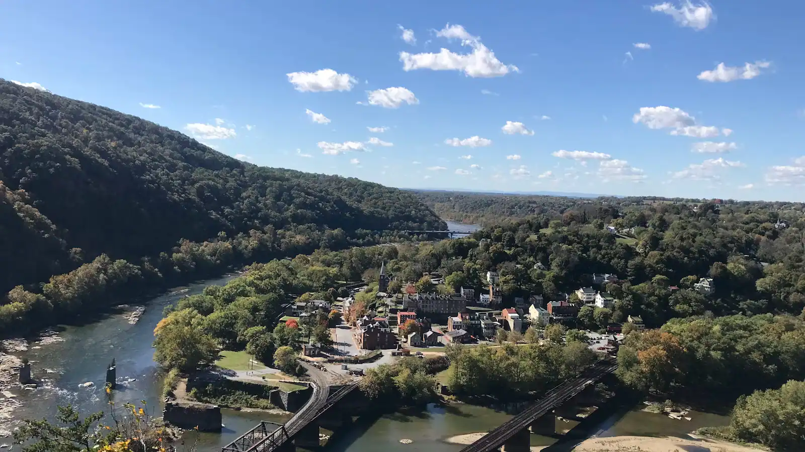
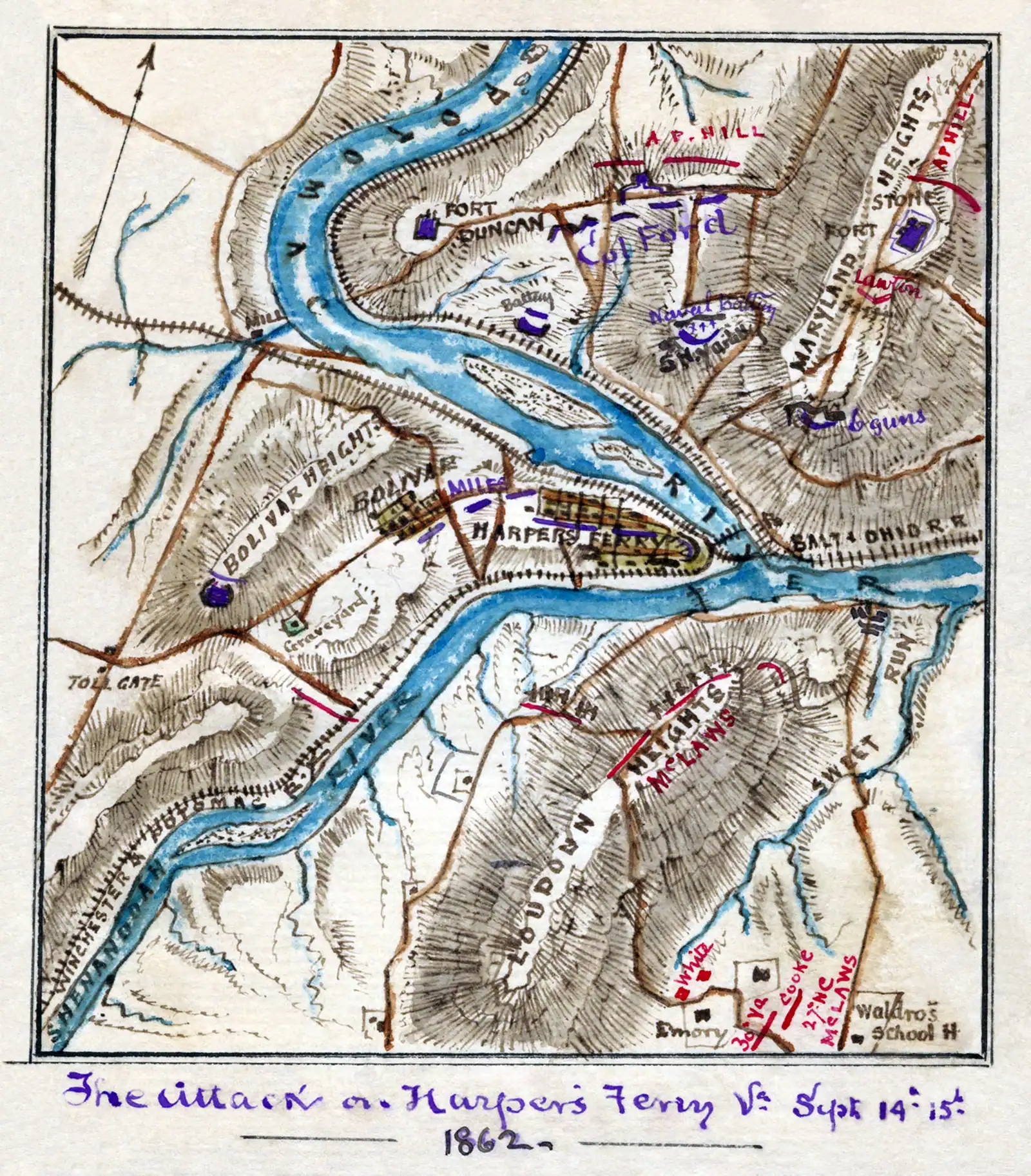
Start with the shape. The lower town occupies a wedge of flat ground where the Shenandoah runs into the Potomac. Behind and above it the land climbs through High Street to Camp Hill, and above that again to Bolivar. Across the Potomac stands Maryland Heights; across the Shenandoah, Loudoun Heights; behind the town, Bolivar Heights. Nearly all of it — about 3,660 acres spread across West Virginia, Maryland and Virginia — is Harpers Ferry National Historical Park, declared a national monument in 1944 and redesignated a historical park by Congress in 1963. One entrance fee covers the lot.

What that means in practice is unusual. The exhibit buildings are not separate ticketed attractions; they are rooms in a preserved commercial block, most of them free to walk into once you are inside the park, most of them a fifteen-minute visit. There is no queue for a headline building because the headline building is a one-room fire engine house. The park recorded 407,008 visits in 2022, which for a town of 269 residents is a ratio that explains both the shuttle and the residents' patience.

Three kinds of place sit on this page. There are the buildings and sites inside the park, which is most of it. There are the handful of privately run attractions and the Appalachian Trail Conservancy, which are in the town rather than the park and keep their own hours. And there are the entities just beyond the county line — Antietam, Shepherdstown, Charles Town — which are close enough that a second half of a day is the sensible way to use them.

A word on names, because they trip people up in search and on the ground. A good half of what is worth seeing here is not a building at all: the Point is a paved corner of land, Camp Hill is a hill with a path along it, Virginius Island is a wood with foundations in it, and Bolivar Heights is a field with a view. The park signs them by their historic names rather than by anything a visitor would guess, so if you are looking for something and cannot see it, you are probably standing on it. Likewise, "Lower Town" is the park's own term for the historic core and appears on every sign and shuttle announcement, while the town's residential streets above it are simply Harpers Ferry and Bolivar.

One caveat, stated up front rather than buried. Several lower-town exhibit spaces were listed closed as this page was last checked in September 2026, among them Harper House, the Civil War Museum, the Master Armorer's Quarters and the Black Voices exhibit, and the footbridge over the Potomac was closed for stairway construction. Closures here are normal rather than exceptional — this is a small park in a flood-prone gorge with nineteenth-century buildings in it — so treat any specific interior as something to confirm on the day, and treat the outdoors as the reliable part.
On the flat: the lower town

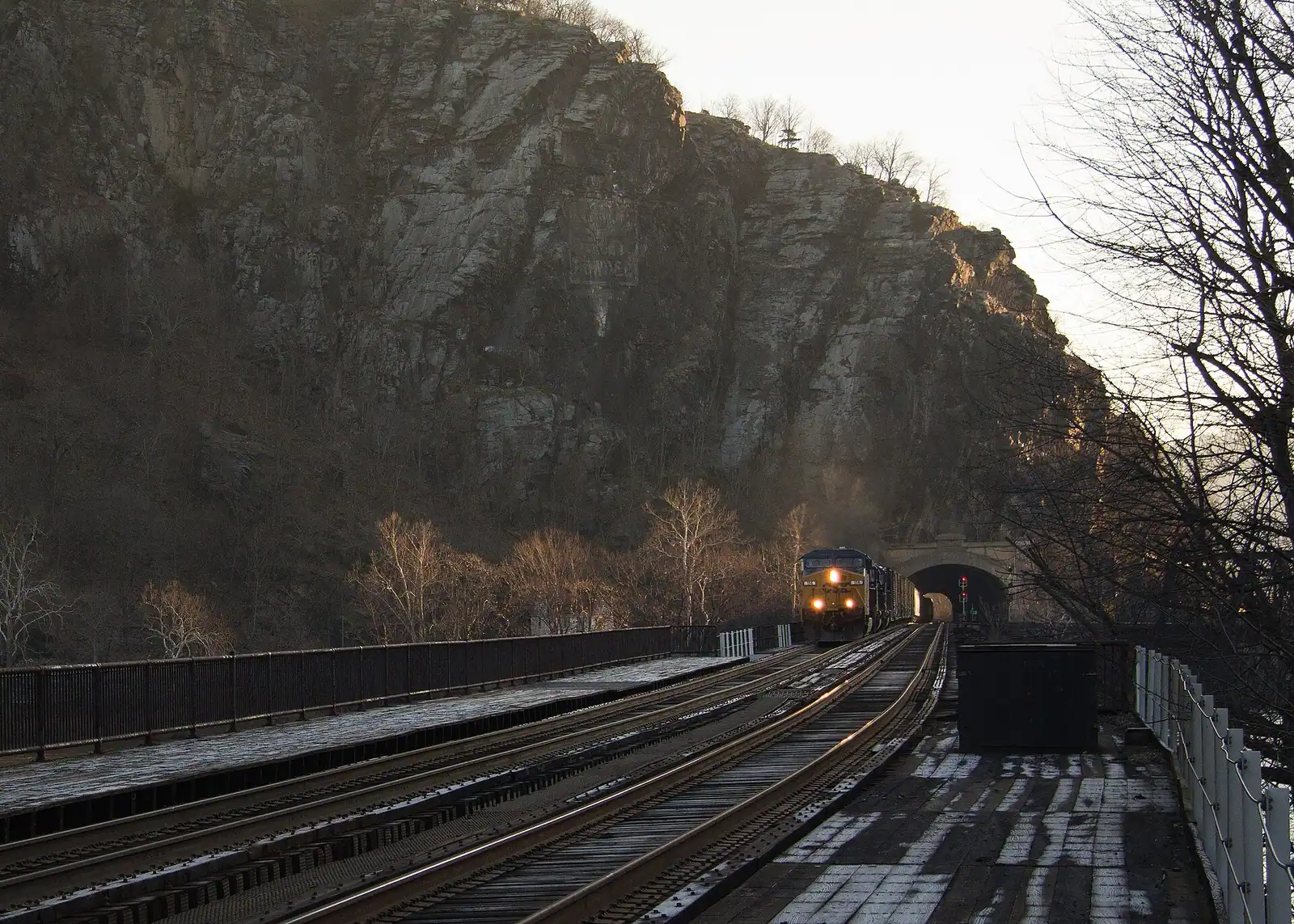
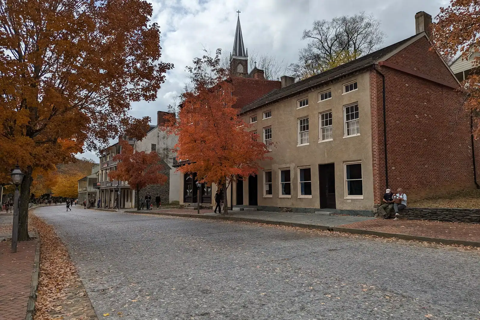
The Point. Four minutes from the shuttle stop, and the single best explanation of the town. Two rivers meeting, three states in one sweep, the railroad bridge on your right and the water gap ahead. Free, level, and the place to stand first.

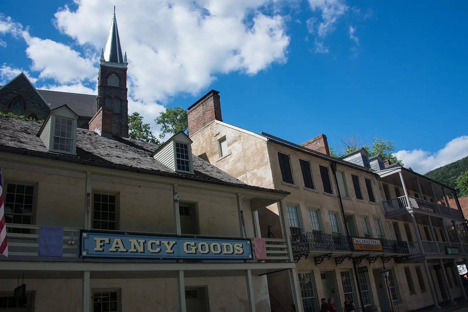
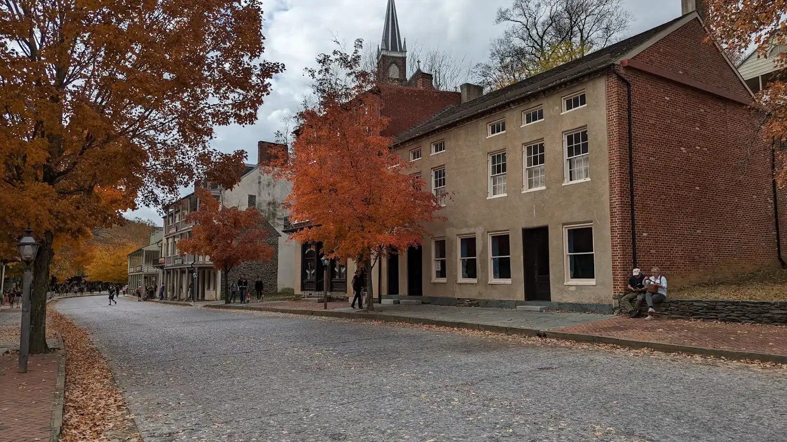
Shenandoah Street. The preserved commercial block, and where the park keeps its interpretation: the armoury story, the raid, the trades, the rebuilding after the war. Small rooms, short visits, open nine to five.

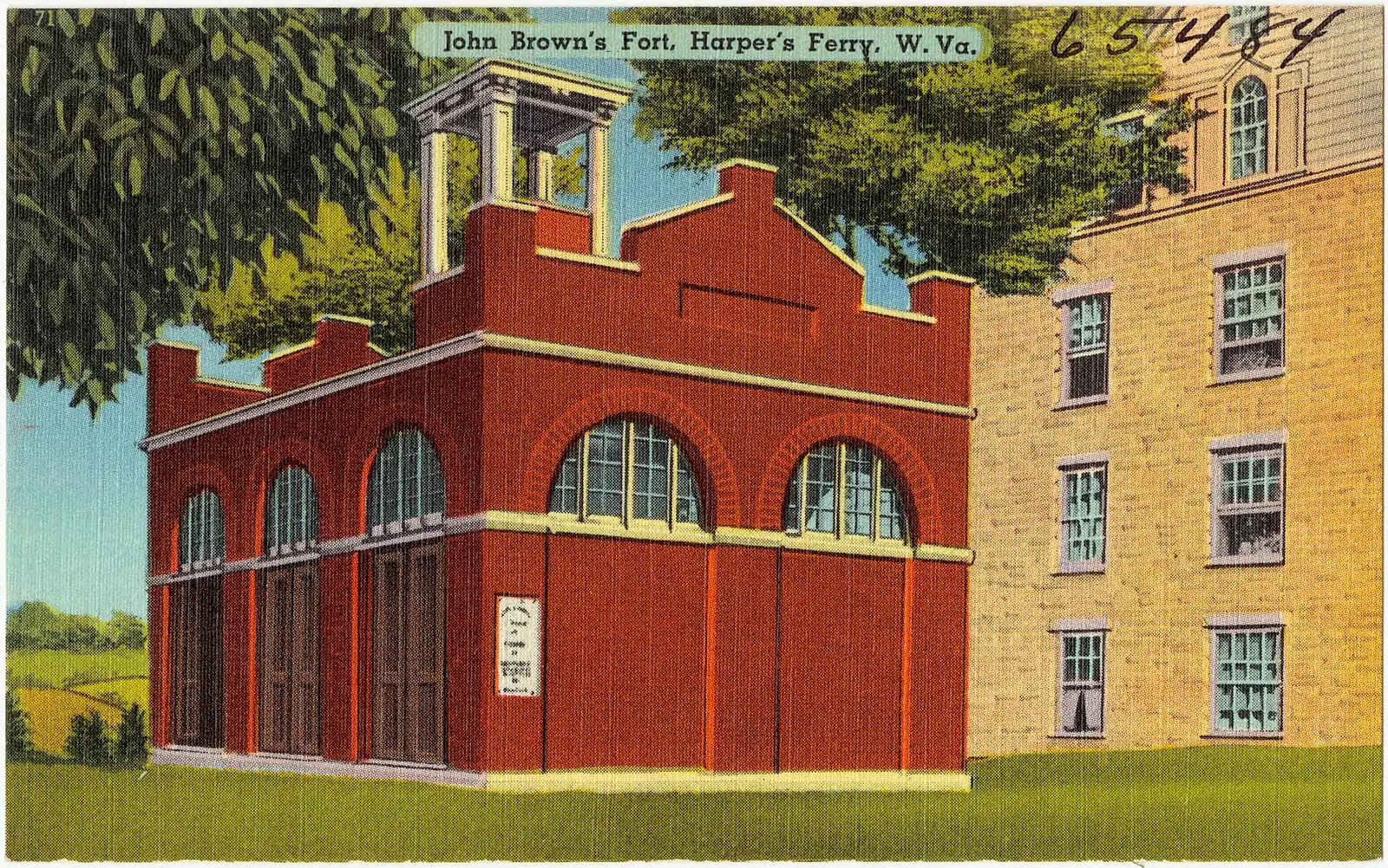
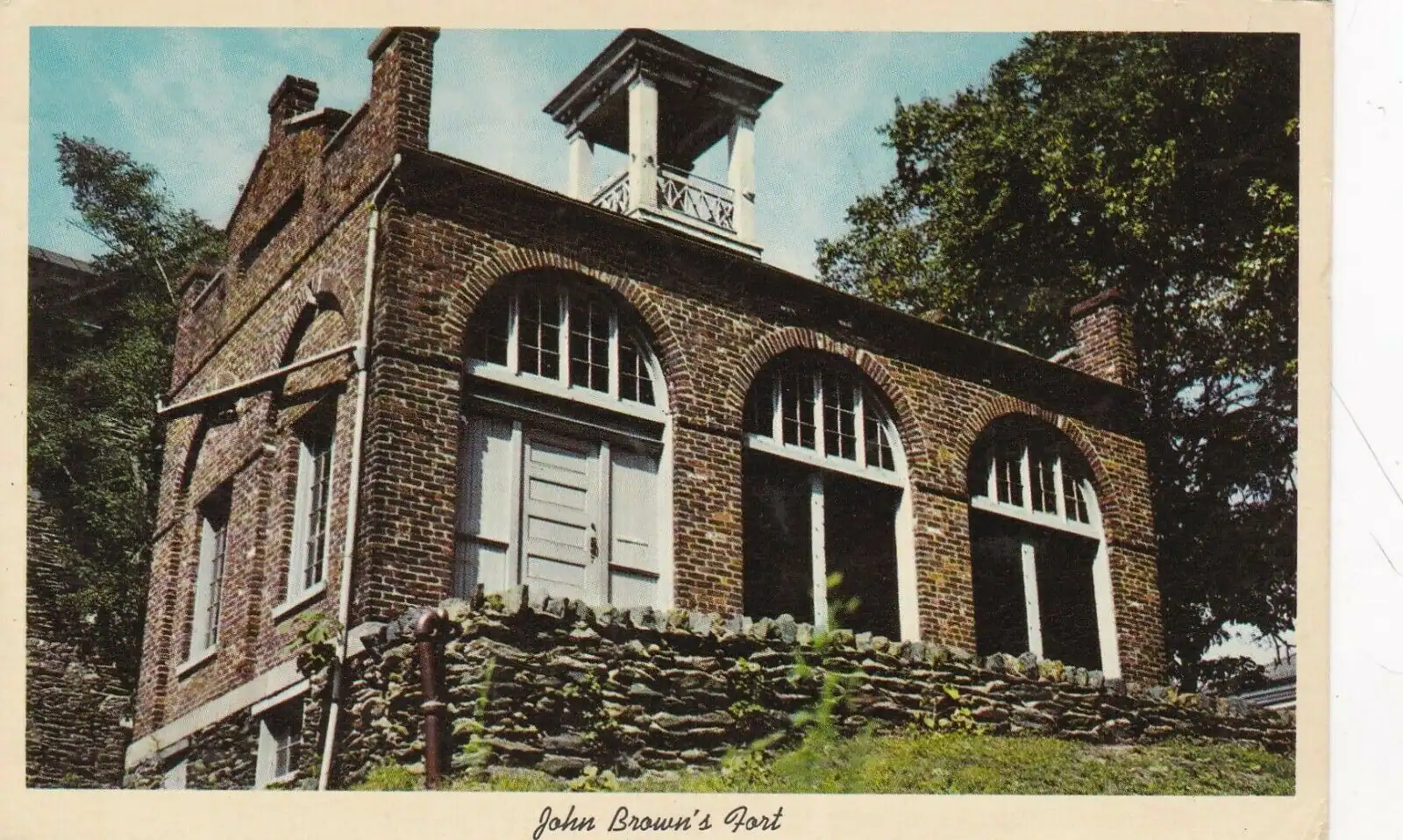
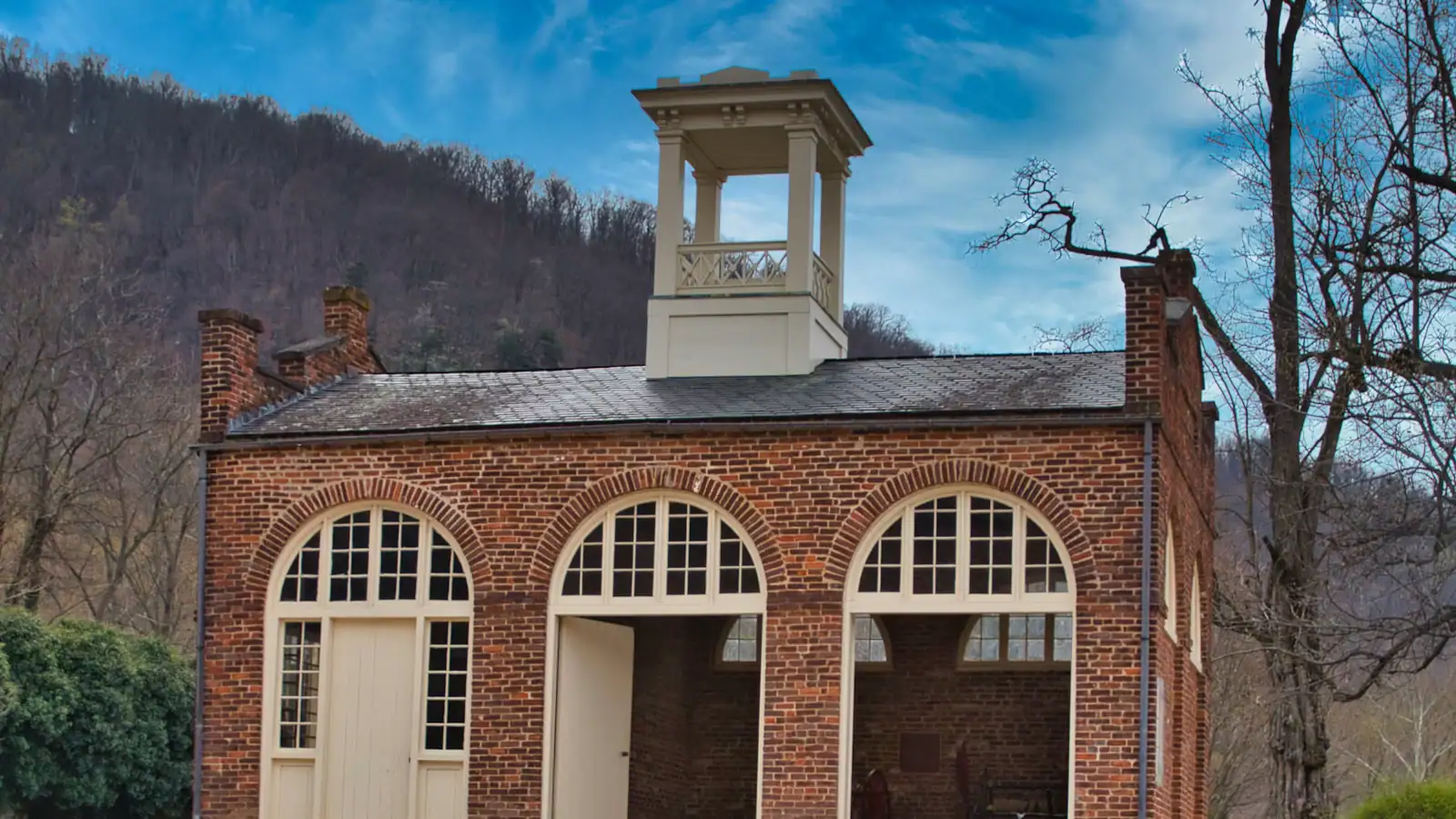
John Brown's Fort. The armoury's 1848 fire engine house, the only armoury building to survive the war, and the building Brown and his men were cornered in on 18 October 1859 when Marines under Robert E. Lee broke the door. It has been moved four times and stands about 150 feet from where it was built; the original ground is beneath a railroad embankment.

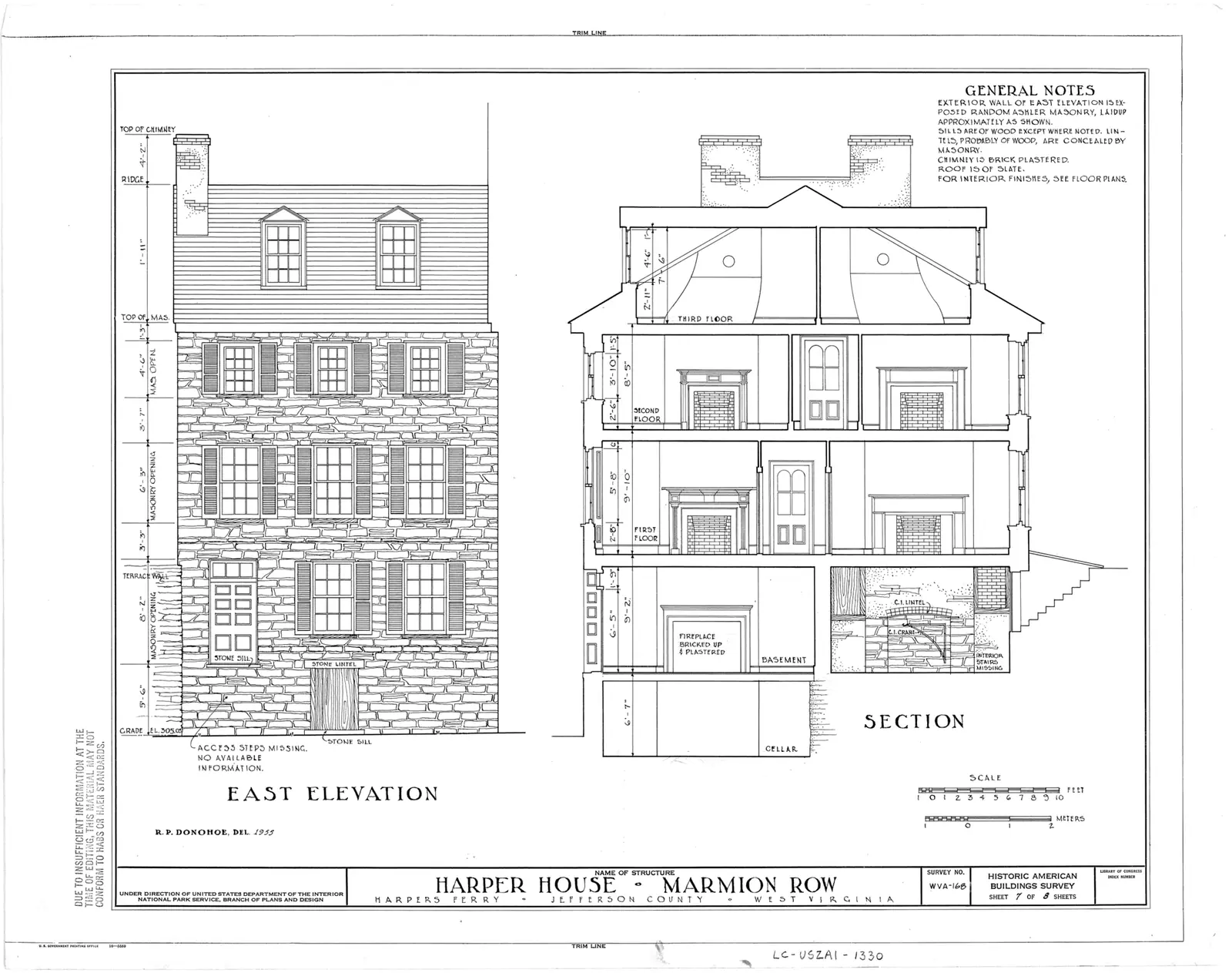
Harper House. The stone house on the hillside built by the ferryman Robert Harper in the 1770s and early 1780s, generally described as the oldest surviving building in town. Listed as temporarily closed in September 2026.

Virginius Island. A twenty-minute loop through the ruins of an industrial village that the rivers eventually took: mills, a machine shop, workers' housing. The 1936 flood, which crested at 36.5 feet, ended habitation there.

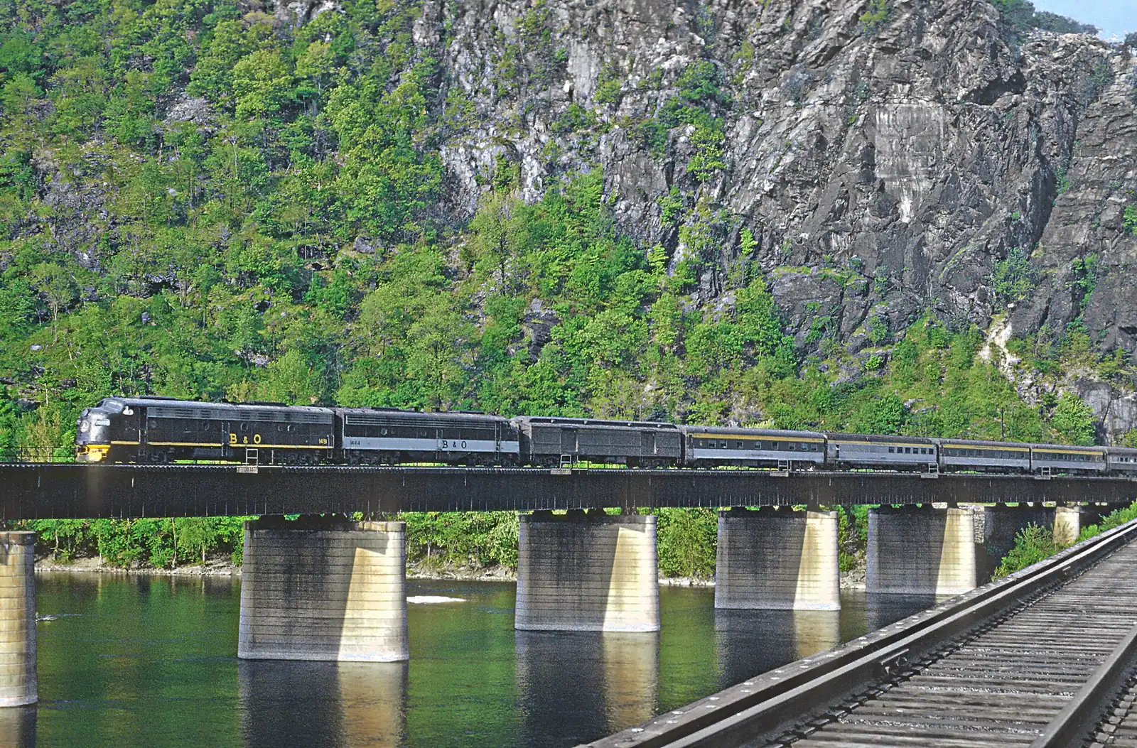
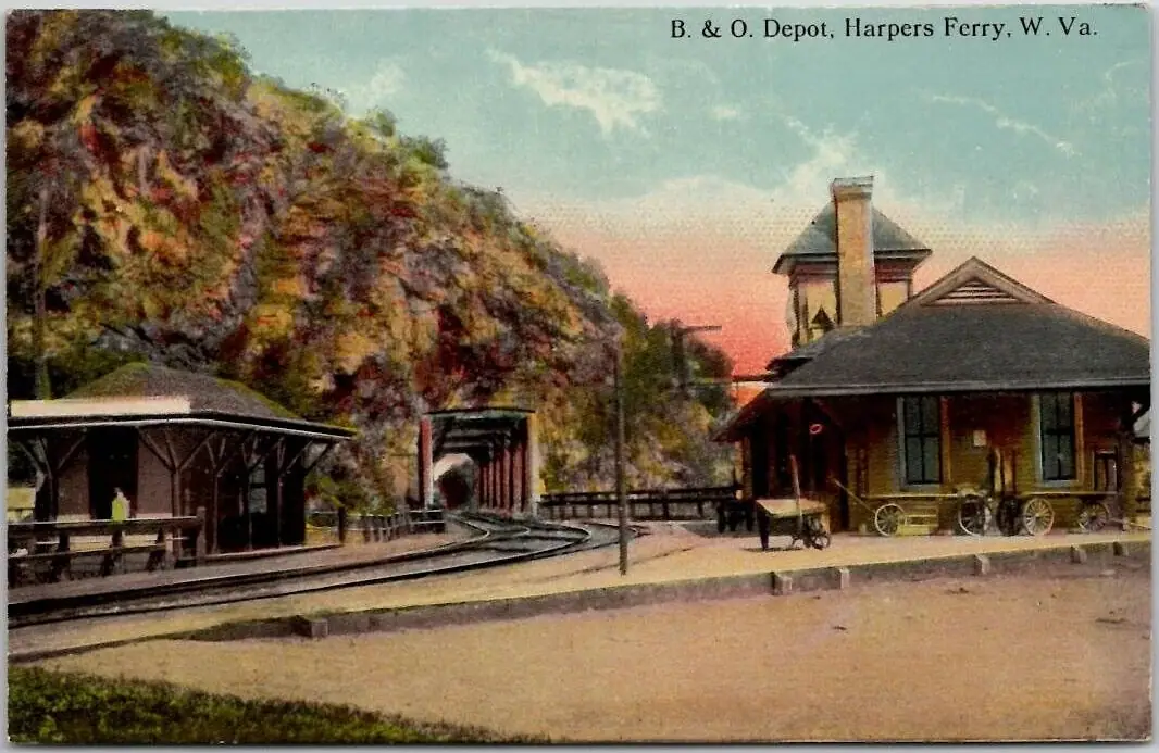
The train station. The 1894 building at the West Virginia end of the railroad bridge, still a working stop, and the reason a car-free day here is possible at all.

Above the stone steps: High Street to Camp Hill

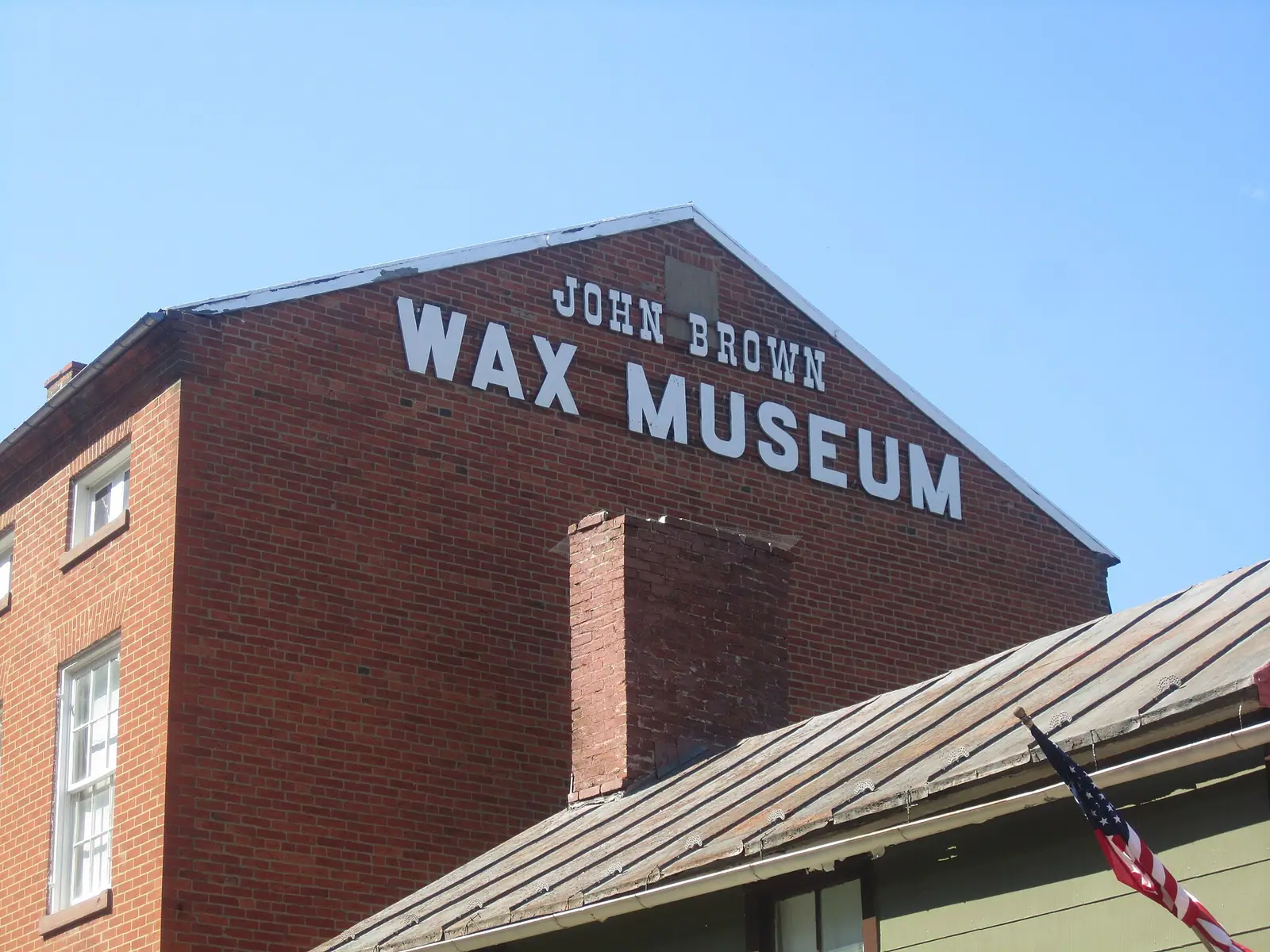
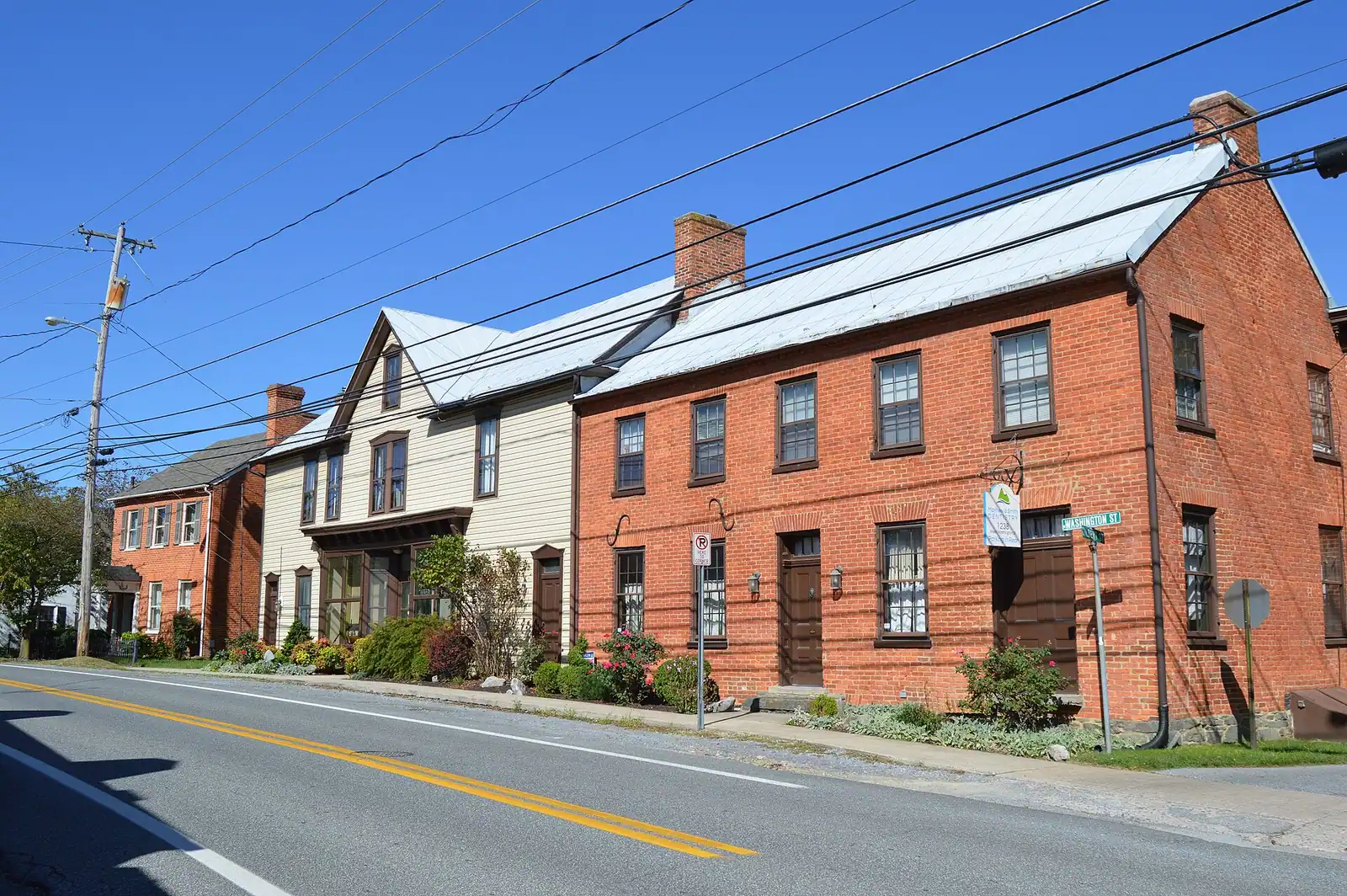
High Street. The commercial climb out of the lower town, lined with the shopfronts, the outfitters, the bookseller and the privately run John Brown Wax Museum. This is the part of Harpers Ferry that is a town rather than a park, and it keeps shop hours that thin out in winter.

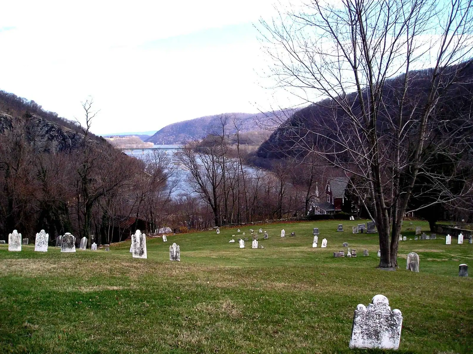
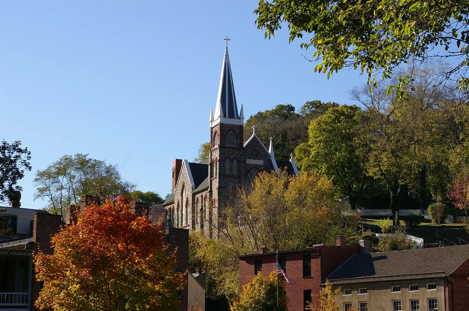
St Peter's Catholic Church. The spire in every photograph of the town, on a shelf of rock above High Street and rebuilt in its present Gothic form in the 1890s. The story told locally is that a British flag flew here during the war so neither side would shell it; it is tradition rather than documented record. Above it stand the ruins of St John's Episcopal.

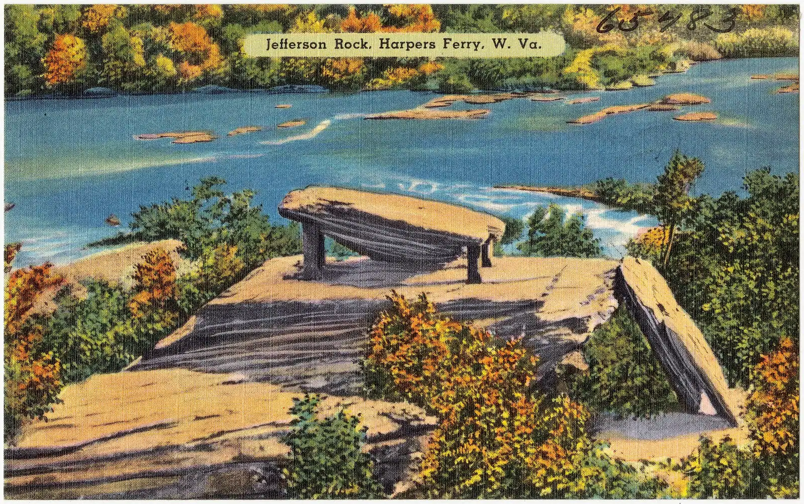
Jefferson Rock. Reached by the 1810 stone steps. Thomas Jefferson stood here on 25 October 1783 and wrote the view up in Notes on the State of Virginia, calling it worth a voyage across the Atlantic. The shale slab has been propped on masonry pillars since the nineteenth century. The view is down the Shenandoah gorge, not over the town.

Camp Hill and Storer College. The level ground above the steps, and the second half of the story that starts with the raid. A mission school for freed people opened here in 1865 and grew into a college that taught more than seven thousand students of both sexes and all races before West Virginia withdrew its appropriation and it closed in 1955. The Niagara Movement met on this campus in August 1906. The site has housed the National Park Service's Stephen T. Mather Training Center since 1963.

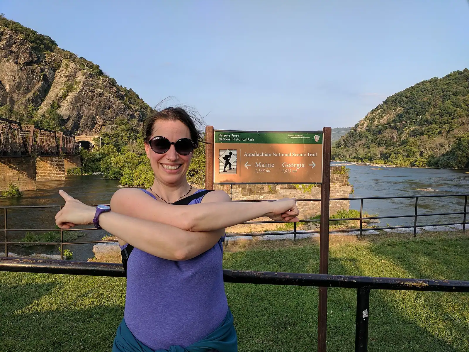
The Appalachian Trail Conservancy. On Washington Street, up the hill: the organisation's headquarters since well before the trail became a bucket list, and the place thru-hikers stop to be photographed.

The three heights

The ridges are why armies kept taking this town and why the photographs look the way they do.

Maryland Heights rises across the Potomac to roughly 1,448 feet. The trail is 4.5 to 6.5 miles round trip with 990 to 1,788 feet of climbing, rated moderate to strenuous, three to four hours, and it produces the classic overlook picture of the town cradled between two rivers. No water, no restrooms, closed between sunset and sunrise, and the overlook itself is an unfenced ledge. Its normal approach crosses the footbridge, which was closed for construction at the time of writing.

Loudoun Heights stands across the Shenandoah on the Virginia bank, reached by the Appalachian Trail south out of town. Comparable effort, fewer people, and a view that looks back at Maryland Heights rather than at the town.

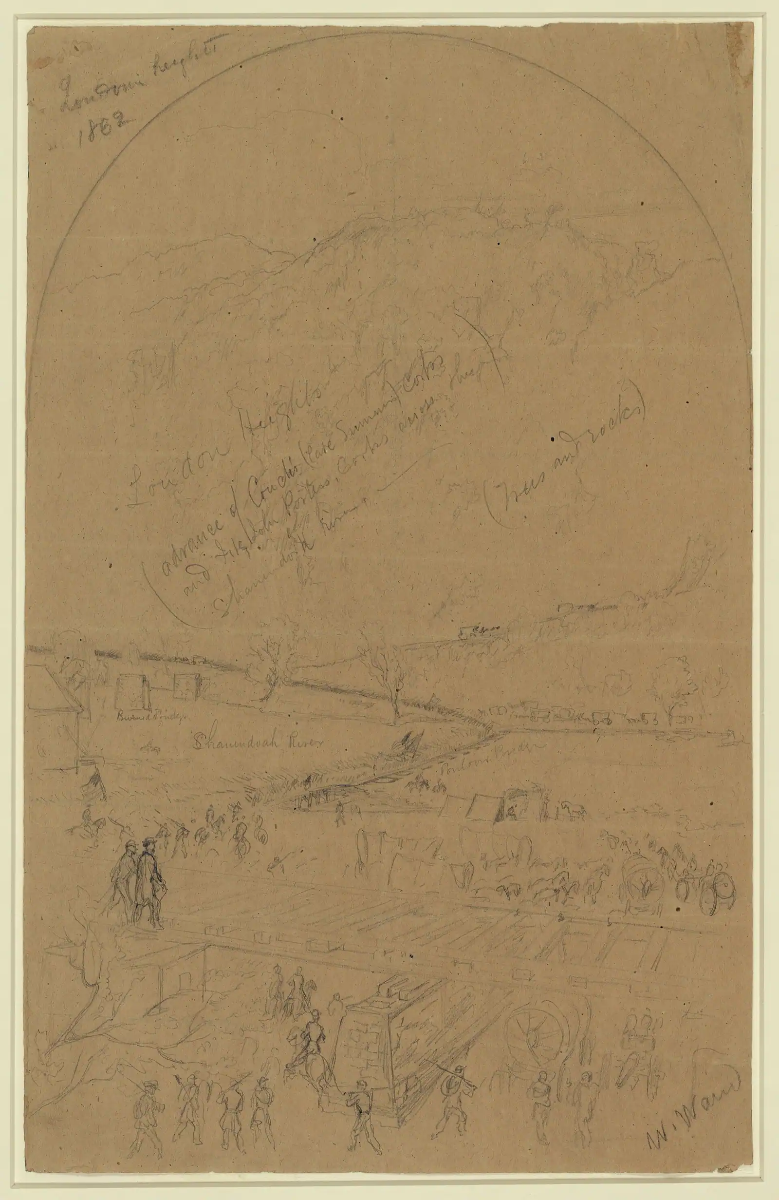
Bolivar Heights is the low one behind the town, and the most useful for most visitors: its own parking area, open and near-level walking, wide views over the gap. It is also the ground where about 12,500 Union troops surrendered on 15 September 1862 after Confederate artillery was dragged onto all three heights — commonly cited as the largest surrender of United States forces until Bataan in 1942, and two days before Antietam.

Murphy Farm, Murphy-Chambers Farm and Schoolhouse Ridge fill in the western edge of the park with open field walking, interpretive markers and almost no crowds. The southern Schoolhouse Ridge loop was partly closed for sinkholes in September 2026.

The rivers, the bridge and the towpath

The Shenandoah arrives from the south through a water gap in the Blue Ridge and provides the whitewater: the Staircase section below Millville, a run of ledges rated Class I to III with Bull Falls as the hardest single drop. It is a working recreational river from roughly April to October, and a shallow, warm float by July.

The Potomac is the bigger, slower one, the state line with Maryland, and the river the railroad follows. Between them, at the Point, the current is stronger than the surface suggests and the bed is bedrock and ledge. This is not a swimming confluence.

The Appalachian Trail footbridge — properly the Goodloe Byron Memorial Footbridge — carries walkers over the Potomac beside the railroad bridge and is the reason the Appalachian Trail can pass through the middle of a town. A spiral staircase drops from it to the towpath on the Maryland bank. The park listed it as closed from 27 July 2026 while a better stairway is built, which affects Maryland Heights and towpath access both.

The C&O Canal towpath runs 184.5 miles from Georgetown to Cumberland along the Maryland bank, with this town at roughly mile 61. Flat crushed stone, no traffic, canal on one side and river on the other, and the easiest walking or riding anywhere near here.

In the town rather than in the park

The park's own guidance is blunt about the boundary: eating, shopping and lodging all sit outside it, in the town of Harpers Ferry and in neighbouring Bolivar up the hill. That distinction matters more than it sounds, because it decides who sets the hours.

The John Brown Wax Museum on High Street is privately run and has been a fixture for decades — a hand-made, distinctly old-fashioned telling of the raid in tableaux, and either a curiosity or a highlight depending entirely on who you are. Admission and hours are set by the operator, not the park, so check before you climb the hill for it.

The bookshop in the lower town is run in support of the park and carries the passport stamps, the serious Civil War shelf and the trail guides. It is also indoors, which matters on the wrong sort of afternoon.

Bolivar is the neighbouring town on the ridge above, and it is where a good deal of the practical life of the area actually happens: kitchens, a bakery, the sort of shops residents use. It has no attractions in the ticketed sense and it is a pleasant twenty-minute walk up from the lower town if your legs are willing.

The Appalachian Trail Conservancy visitor centre is free to walk into, sells maps and guidebooks, and keeps the photograph album of thru-hikers who have passed through. It is the one place in town where a day visitor and a person who has walked a thousand miles reliably end up in the same room.

Within twenty minutes: Antietam, Shepherdstown, Charles Town

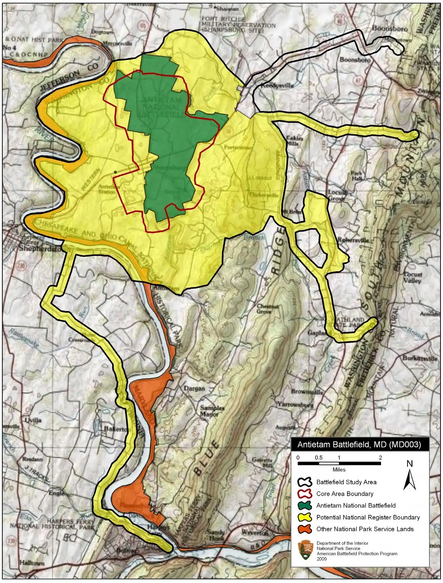
Antietam National Battlefield, about eleven miles north near Sharpsburg in Maryland, is where the sequence that began on Bolivar Heights ended: the surrender here on 15 September 1862, the bloodiest single day of the war on the 17th. It is mostly a driving tour with short walks from pull-offs, which makes it the practical choice when the weather has ruined the walking here.

Shepherdstown, roughly twelve miles away, is the oldest town in West Virginia, has a college in the middle of it and has the restaurant choice that a town of 269 people cannot. If you want dinner at a table after a day on your feet, this is the usual answer.

Charles Town, eight miles west, is where John Brown was tried and hanged on 2 December 1859. The courthouse still stands and still works. An hour there changes the register of everything you saw in the lower town, which is exactly why it belongs on this list rather than in a footnote.

All three are inside a twenty-minute drive of the visitor center, and all three are the reason a car is worth having even though you will not use it in the lower town.

What was closed when this page was last checked

A small park, nineteenth-century buildings, a flood-prone gorge and a federal maintenance budget mean that something here is usually shut. That is not a complaint, it is planning information.

As of 21 September 2026, the National Park Service listed the following as temporarily closed or altered:

  • The Goodloe Byron Memorial Footbridge, closed from Monday 27 July 2026 for construction of an improved stairway, with no reopening date published. The park notes that the Maryland Heights trail remains open but access is challenging, and suggests other trails.
  • Harper House, the Civil War Museum, the Master Armorer's Quarters and the Black Voices exhibit, all closed to visitors.
  • The Lower Town Information Center, unstaffed, with maps and information available at the Place in Time exhibit space instead.
  • The southern Schoolhouse Ridge loop, partly closed because of sinkholes.

Fifteen or more lower-town exhibit spaces, the visitor center, the trails and the parking areas were all open. Check the park's current conditions page the week you travel; it is kept up to date and it is the only source worth trusting on this.

Every attraction in Harpers Ferry

All 28 places we cover, grouped by area. Filter, sort, or read straight down.

Narrow it down

28 places

Type
Best for
Setting
Time needed
Admission

Harpers Ferry20

  • A small town of pale rooftops and a church spire seen from above, wrapped by wooded hills and river water

    Park

    Harpers Ferry National Historical Park

    Three thousand acres across three states, with no gate and no loop road — because most of the park is a working town.

    4–10 hoursAround $20 per private vehicle, $15 per motorcycle or $10 per person on foot, valid three consecutive days

  • A squat brick building with a small square tower and an arched doorway, standing alone on open ground

    Historic site

    John Brown's Fort

    An 1848 fire engine house, the only armoury building to survive the war, and it does not stand where any of this happened.

    10–30 minutesCovered by the park entrance fee; no separate charge

  • A whitewashed stone-walled house on a steep bank, its garden held up by a dry stone retaining wall

    Historic site

    Free

    Storer College

    A college founded to educate people who had been enslaved, closed in 1955 by the consequences of a civil rights victory.

    0.5–1.5 hoursFree; covered by the park entrance fee charged on your vehicle

  • A whitewashed stone-walled house standing on a steep bank above a dry stone retaining wall

    Neighbourhood

    Camp Hill

    The terrace above the lower town: Storer College, the 1906 Niagara Movement meeting, and the view without the queue.

    1–1.5 hoursIncluded with park entrance; the grounds carry no separate charge

  • A river turning between steep wooded slopes in full summer leaf, seen from high ground

    Viewpoint

    Free

    Jefferson Rock

    A propped shale slab above the Shenandoah gorge, and the spot that gave American travel writing its first great sentence.

    0.5–1.5 hoursFree once you are inside the park; the park entrance fee still applies to your vehicle

  • A narrow street of nineteenth-century shopfronts running uphill between stone kerbs

    Neighbourhood

    Lower Town Harpers Ferry

    Two streets and a flight of stone steps, all of it inside a national park, with the high-water marks still on the walls.

    2–5 hoursPark entrance fee applies; National Park Service exhibit buildings are then free to enter

  • A street of nineteenth-century shopfronts with stone kerbs running between them

    Historic site

    Shenandoah Street

    The one level street in the lower town: park museums door by door, the shuttle stop, and the restored shopfronts of an 1860s street.

    1–2.5 hoursIncluded with park entrance; the museums along the street carry no separate charge

  • A long steel bridge carrying a walkway across a wide river, with a forested ridge rising behind it

    Viewpoint

    Free

    The Point

    Ninety seconds from the shuttle stop, level the whole way, and the only spot where the town's geography explains itself.

    10–30 minutesFree; covered by the park entrance fee already charged on your vehicle

  • A wide river bending away between steep wooded slopes in full leaf, seen from high ground

    Water feature

    The Potomac River

    The larger of the two rivers, the one that cut the gap through the Blue Ridge, and legally Maryland right up to the West Virginia bank.

    0.5–2 hoursFree to look at; reaching the banks inside the park requires a park entrance fee

  • Broken ledges of rock running across a shallow river between wooded banks

    Water feature

    Free

    The Shenandoah River

    Class I to III through the Staircase, Bull Falls at the bottom, and the only thing in this town with much to book.

    2–5 hoursFree to look at and walk beside; guided rafting, tubing and kayak trips are priced by the outfitter

  • A walker crossing a river footbridge with a pack on their back, the far bank thick with trees

    Museum

    Free

    Appalachian Trail Conservancy Visitor Center

    Where thru-hikers get photographed and numbered, in albums going back decades — and where the midpoint myth gets corrected.

    0.5–1 hoursFree to enter; the Conservancy is a non-profit and donations are welcomed

  • A steel railway bridge with a walkway along its side crossing a wide river below a wooded ridge

    Landmark

    Free

    Harpers Ferry Train Station

    An 1894 B&O station whose platform sits inside the historic district, served by weekday MARC trains and one Amtrak each way.

    10–30 minutesFree to visit. Rail fares are charged by MARC and Amtrak separately

  • A small town of pale rooftops and a church spire below wooded hills and river water, seen from above

    Landmark

    Cavalier Heights Visitor Center

    The park's only real car park, the fee station and the shuttle stop. Set your navigation here, not to the town.

    20–45 minutesPark entrance at the time of writing: $20 per vehicle, $15 per motorcycle, $10 per person on foot or bicycle, each valid three consecutive days

  • A narrow street of nineteenth-century shopfronts climbing between stone kerbs

    Shopping

    High Street

    The lower town's one commercial street: a stone climb of shopfronts ending at the steps up to St Peter's and Jefferson Rock.

    0.5–1.5 hoursThe street is free to walk; reaching it means entering the national historical park

  • A squat brick building with a small square tower and an arched doorway standing alone on open ground

    Museum

    Black Voices from Harpers Ferry

    The park exhibit on African American Harpers Ferry, from the armoury town to Storer College. Confirm it is open before you plan around it.

    20–45 minutesIncluded with park entrance; no separate charge

  • A stone-walled building on a steep bank with a dry stone retaining wall holding up the ground beside it

    Historic site

    Virginius Island

    A vanished factory town on the Shenandoah: mill walls, a canal race and 180 residents, all of it taken by flood.

    0.5–1.5 hoursIncluded with park entrance; no separate charge for the island

  • A walker crossing a river footbridge with a pack on their back, the far bank thick with trees

    Landmark

    Free

    Appalachian Trail Footbridge

    The walkway bolted to a working railroad bridge that carries the Appalachian Trail over the Potomac — closed since July 2026.

    10–25 minutesFree to cross when open; the park entrance fee applies to your vehicle

  • A brick church with a steep slate roof and a pointed steeple standing above a hillside of trees

    Historic site

    Free

    St Peter's Catholic Church

    The spire in every aerial photograph of this town, and the only church here that came through the war standing.

    10–30 minutesFree; the park entrance fee applies to your vehicle but the church charges nothing

  • A whitewashed stone-walled house on a steep bank, its garden held up by a dry stone retaining wall

    Historic site

    Free

    Harper House

    The stone house the ferryman never finished, the oldest building in town — and shut for repairs at the moment.

    15–40 minutesNo separate charge when open; covered by the park entrance fee

  • A narrow street of nineteenth-century shopfronts climbing between stone kerbs

    Museum

    John Brown Wax Museum

    A privately run wax tableau of the raid on High Street. Not the free National Park Service museum, and often confused with it.

    20–35 minutesSeparate admission, charged by the operator. Not covered by your park entrance fee

Bolivar2

  • A whitewashed stone-walled house on a steep bank, its garden held up by a dry stone retaining wall

    Historic site

    Free

    Bolivar Heights

    Flat, open and five minutes from the car park: the battlefield where a Union garrison of 12,500 surrendered in two days.

    1–1.5 hoursNo separate charge; covered by the park entrance fee, which is valid three consecutive days

  • A walker carrying a full pack on a trail above a river, trees thick on the far bank

    Neighbourhood

    Free

    Bolivar

    A separate town on the ridge above the lower town, four times the size of Harpers Ferry, where the rooms and the kitchens actually are.

    1–3 hoursFree. Bolivar is a town, not a park site, and carries no entrance fee

Sandy Hook2

  • A small town of pale rooftops and a church spire seen from above, wrapped by wooded hills and river water

    Trail

    Free

    Maryland Heights Trail

    The cliff ledge that produces the photograph everyone has seen of this town, and about a thousand feet of climbing to reach it.

    3–5 hoursNo charge for the trail; the park entrance fee applies to your vehicle

  • Green trees lining the edge of flat, slow river water under a bright sky

    Trail

    Free

    C&O Canal Towpath

    184 miles of level crushed stone on the Maryland bank, reached by a footbridge and an awkward spiral staircase.

    1–5 hoursFree. The towpath itself carries no entrance fee

Charles Town1

  • Brick commercial frontages of the nineteenth century lining a street with stone kerbs

    Neighbourhood

    Free

    Charles Town

    Eight miles west: the courthouse where John Brown was tried, the ground where he was hanged, and a Washington family town.

    1.5–4 hoursFree to walk. Individual museums and attractions charge separately

Loudoun County1

  • Broken ledges of rock running across a shallow river between wooded banks

    Trail

    Free

    Loudoun Heights

    The Virginia ridge across the Shenandoah: more climbing than Maryland Heights, fewer views, and almost nobody on it.

    4–5.5 hoursFree to walk; the park entrance fee applies to your vehicle at the visitor centre

Sharpsburg1

  • A plain church with a steep roof and a spire standing above a wooded slope

    Historic site

    Antietam National Battlefield

    Roughly 23,000 casualties in one September day, half an hour north of Harpers Ferry, and the same campaign that took this town.

    2.5–6 hoursAt the time of writing: $20 per private vehicle, $15 per motorcycle, $10 per person on foot or bicycle, each valid three consecutive days

Shepherdstown1

  • A street of nineteenth-century brick and stone frontages with stone kerbs

    Neighbourhood

    Free

    Shepherdstown

    Chartered in 1762, a university on the main street, and the town that absorbed the wounded from Antietam two days after the battle.

    1.5–4 hoursFree. There is no entrance fee to the town

Where everything is in Harpers Ferry

Every pin is also a link in the index beside it, so the list works before the map loads.

Every place shown on this map is also listed below as a link, grouped by area.

Explore by what you want to do

The directory lists places. These pages plan days.

  • A small town of pale rooftops and a church spire seen from above, held between wooded hills and river water

    Guide hub

    Things to Do in Harpers Ferry

    Two hundred and sixty-nine people lived here at the 2020 census. That number is the key to the whole day. Harpers Ferry is not a town with a…

  • A squat brick building with a small square tower and an arched doorway, standing alone on open ground

    Things to do

    History & the Civil War

    The United States built its second national armoury on this ground in 1799 because the ground did the work. Two rivers arrive at the same corner…

  • A small town of pale rooftops and a church spire seen from above, wrapped by wooded hills and river water

    Guide hub

    Harpers Ferry National Historical Park

    At most national parks the town is outside the gate. Here the town is the park. Harpers Ferry National Historical Park covers roughly 3,660 acres in…

  • A river turning between steep wooded slopes in full summer leaf, seen from high ground

    Things to do

    Scenic Views

    Start with the correction, because it saves an afternoon. The photograph you have seen of Harpers Ferry — the whole town laid out on its spit of…

  • A narrow street of nineteenth-century shopfronts running uphill between stone kerbs

    Things to do

    Museums & Exhibits

    Adjust the expectation before you arrive and this becomes one of the best hours in the park. There is no Harpers Ferry Museum. There is no hall with…

  • A squat brick building with a small square tower and an arched doorway, standing alone on open ground

    Things to do

    Day Trips

    The lower town runs out of daylight before you run out of interest. Museums close at five, the last shuttle up from the lower town is seven in the…

Longer reads

  • A small town of pale rooftops and a church spire seen from above, wrapped by wooded hills and river water

    Guide

    Featured

    A First-Timer's Guide to Harpers Ferry

    A town of 269 people where two rivers and three states meet, and most of the streets are a national park. Three unrelated crowds arrive here every weekend. Work out which one you are first.

    9 min readPrudence Ashby

Common questions

What is the main attraction in Harpers Ferry?

John Brown's Fort, by search volume and by reputation. It is the armoury's 1848 fire engine house, the building Brown and his raiders were cornered in during the night of 16 to 18 October 1859, and the only armoury structure to survive the Civil War. It takes fifteen minutes to see. The town around it — the lower streets, the stone steps, Jefferson Rock and Camp Hill — is what turns those fifteen minutes into a day.

Is John Brown's Fort in its original location?

No. The building is original; the site is not. It was dismantled and shipped to Chicago for the 1893 World's Columbian Exposition, brought back to a farm outside town in 1895, re-erected on the Storer College campus in 1909, and moved by the National Park Service in 1968 to its present spot, roughly 150 feet from where it was built. The original ground now lies under a railroad embankment.

How many attractions are there in Harpers Ferry?

Fewer than the search results suggest, and that is the appeal. Reckon on one national historical park containing perhaps fifteen open exhibit spaces, four or five named outdoor sites, three heights with trails on them, and a handful of privately run places on High Street. Add Antietam, Shepherdstown and Charles Town within twenty minutes by car. It is a one-day town with a two-day story.

Do you have to pay for each attraction in Harpers Ferry?

No. One park entrance fee covers essentially everything inside the boundary: the exhibit buildings, John Brown's Fort, the trails, the heights, Jefferson Rock, Camp Hill and the shuttle bus. At the time of writing that is $20 per vehicle, $15 per motorcycle or $10 per person on foot, valid three consecutive days. The privately run attractions on High Street set their own admission, and the Appalachian Trail Conservancy centre is free to enter.

What is Storer College and can you visit it?

Storer College was founded as a mission school for freed people in 1865 and grew into a college that taught more than seven thousand students, of both sexes and all races, before closing in 1955 after West Virginia withdrew its annual appropriation in the wake of Brown v. Board of Education. Its Camp Hill campus is now part of the park, and you can walk the grounds freely. The Niagara Movement met here in August 1906.

Is Harper House open to visitors?

Not at the time of writing. Harper House, the stone house built by the town's founding ferryman Robert Harper in the 1770s and early 1780s and generally called the oldest surviving building in town, was listed as temporarily closed by the park in September 2026. You can still see it from the path up to Jefferson Rock. Closures here rotate with maintenance and staffing, so check the park's current conditions page.

Which Harpers Ferry attractions are outdoors?

Most of the good ones. The Point, Jefferson Rock, the 1810 stone steps, Camp Hill and the Storer College grounds, Virginius Island, Bolivar Heights, Maryland Heights, Loudoun Heights, the C&O towpath and the Appalachian Trail through town are all open-air and weather-dependent. The indoor list is short: the lower-town exhibit rooms, the bookshop, the wax museum on High Street and the Appalachian Trail Conservancy centre.

Can you see Harpers Ferry attractions without hiking?

Yes, with one exception. Shenandoah Street and the lower-town exhibit buildings are essentially flat, the Point is a four-minute walk, and the shuttle runs from the visitor center to the middle of it all with ramps and lifts fitted. Bolivar Heights gives you a wide ridge view from its own parking area on near-level ground. What you cannot reach without climbing is Jefferson Rock, which is up the stone steps with no alternative route.

What is there to see near Harpers Ferry?

Three things, all within twenty minutes by car. Antietam National Battlefield near Sharpsburg, about eleven miles north, which follows directly from the surrender at Bolivar Heights two days before the battle. Shepherdstown, roughly twelve miles on, the oldest town in West Virginia and the nearest thing to a dinner choice. And Charles Town, eight miles west, where John Brown was tried and hanged in 1859.